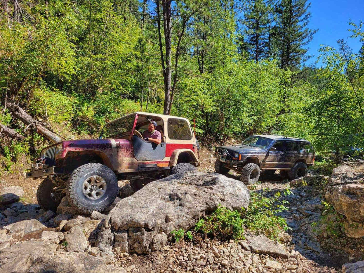
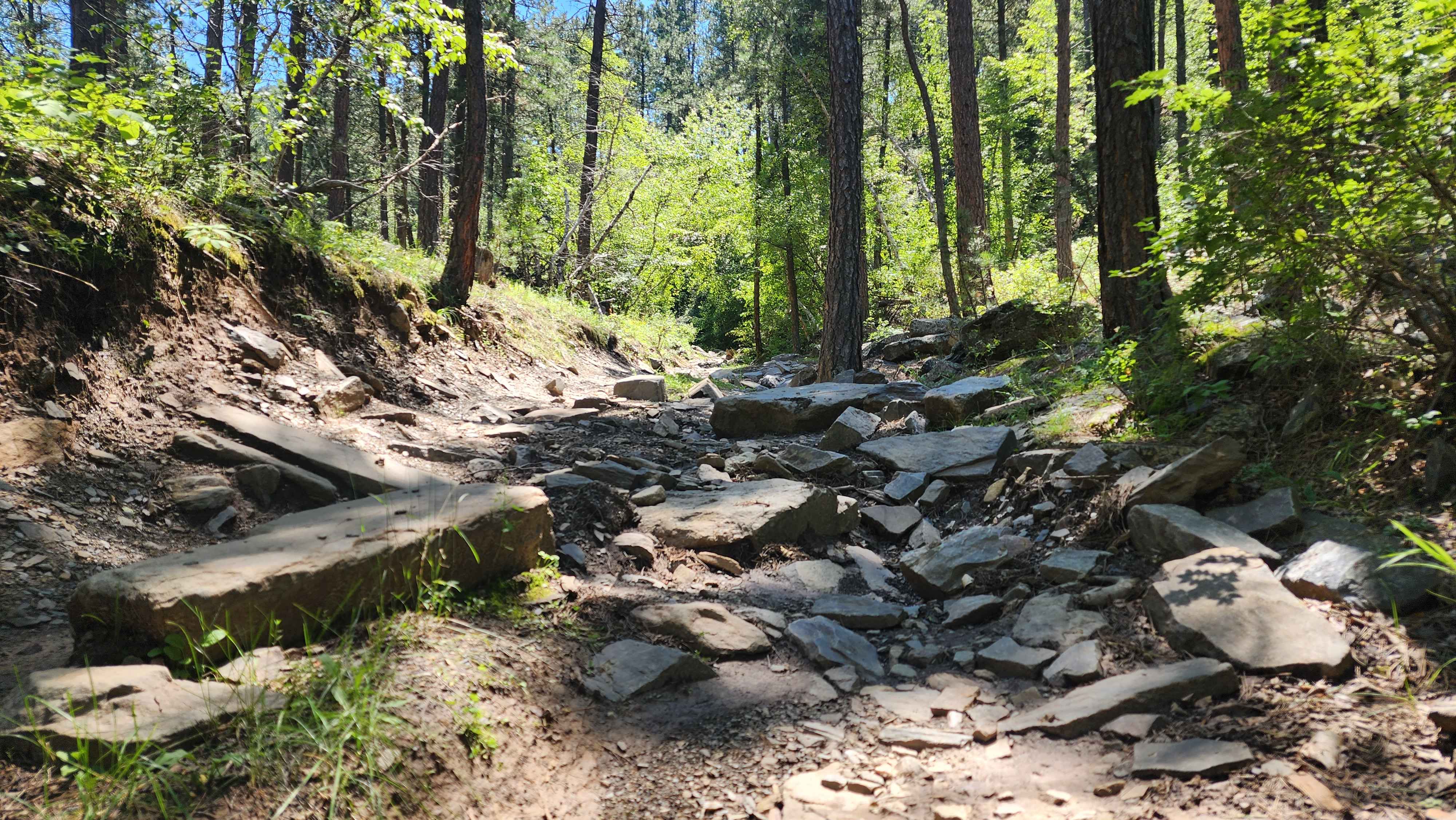
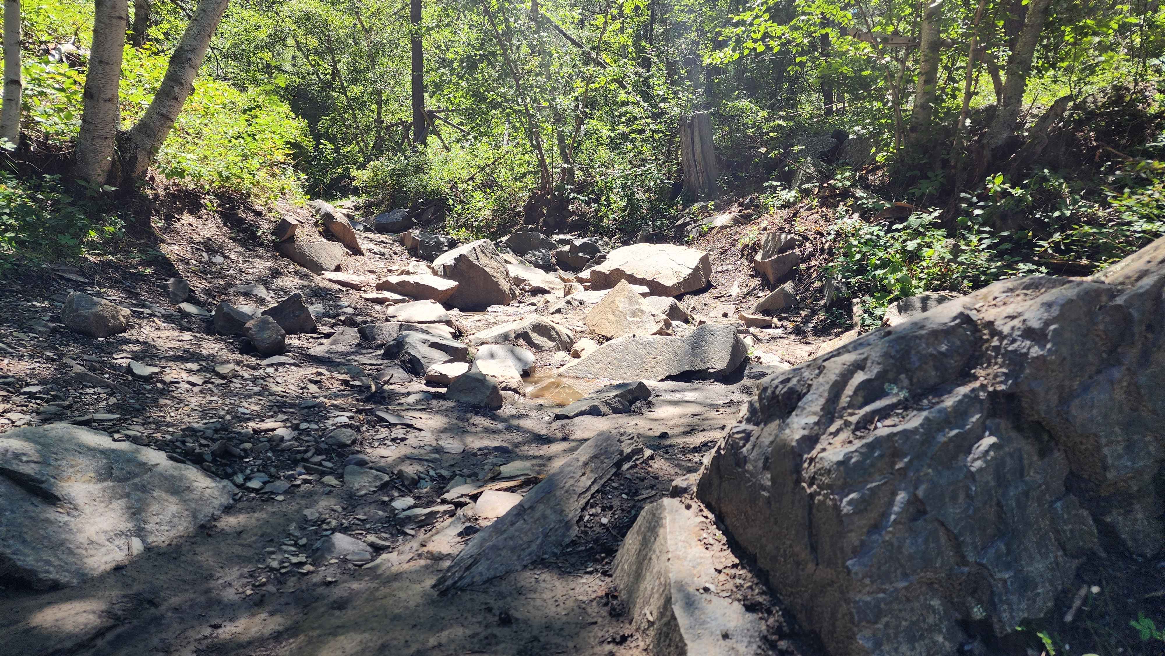
Off-Road Trails in South Dakota
Discover off-road trails in South Dakota
Learn more about FS 655 Trail Gulch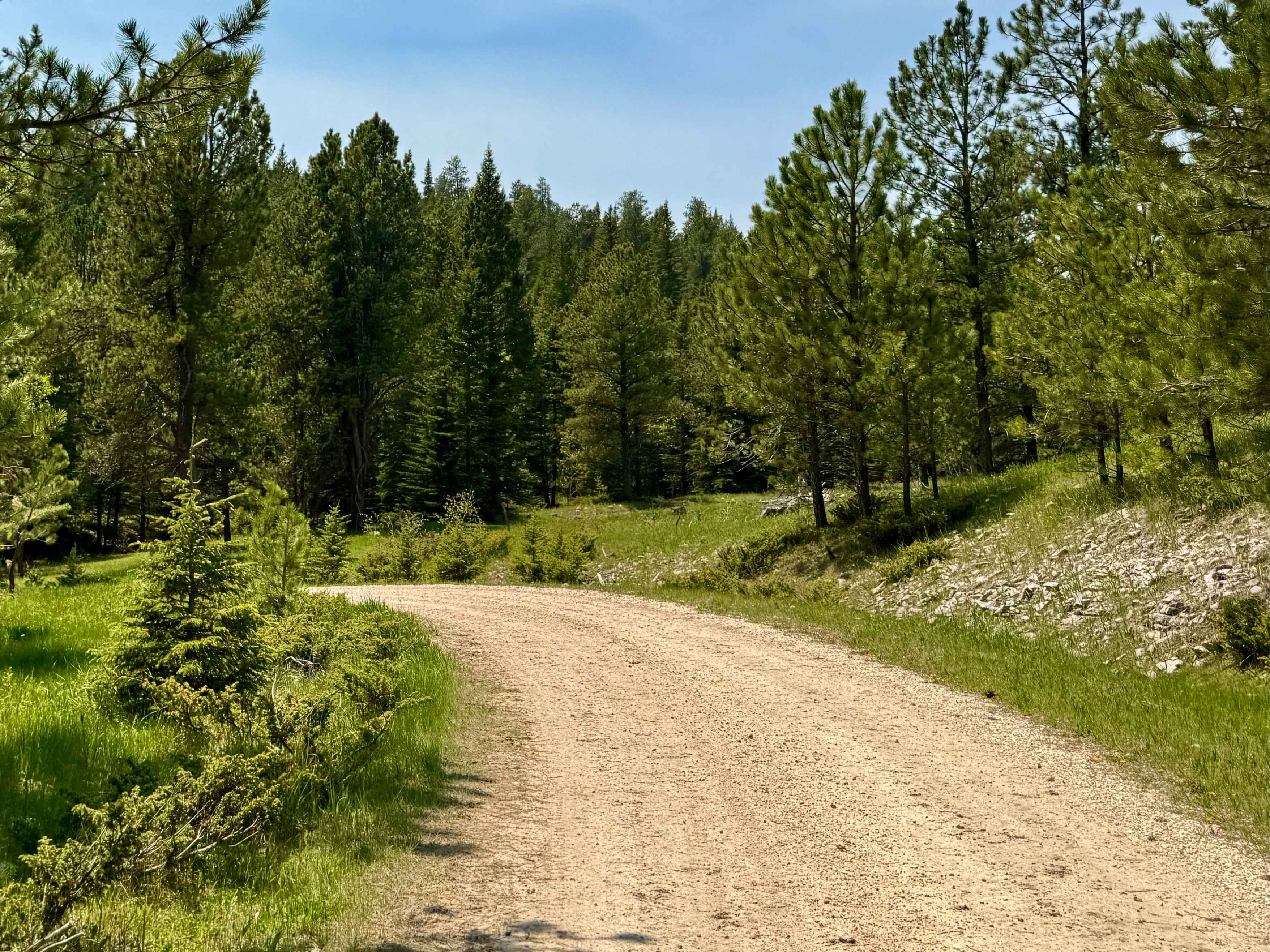
FS 655 Trail Gulch
Total Miles
2.9
Tech Rating
Easy
Best Time
Spring, Summer
Learn more about Ghost Canyon Road
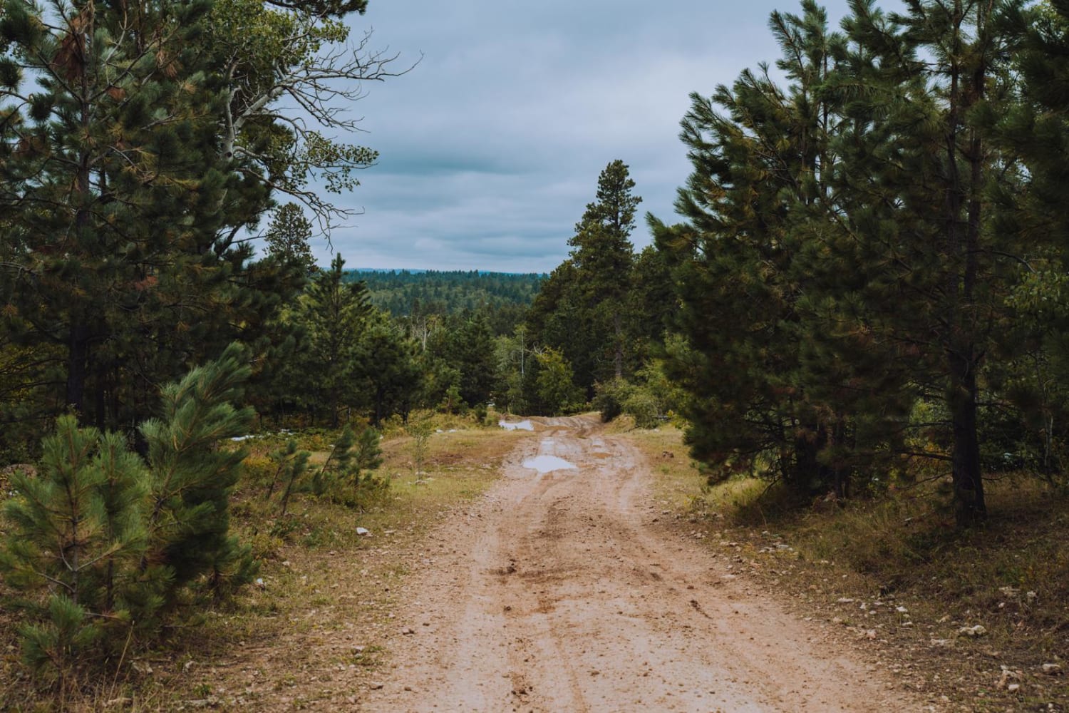
Ghost Canyon Road
Total Miles
7.6
Tech Rating
Easy
Best Time
Spring, Summer, Fall, Winter
Learn more about Gillette Canyon - FS 296
Gillette Canyon - FS 296
Total Miles
12.9
Tech Rating
Easy
Best Time
Spring, Summer, Fall
Learn more about Gold Mountain Mine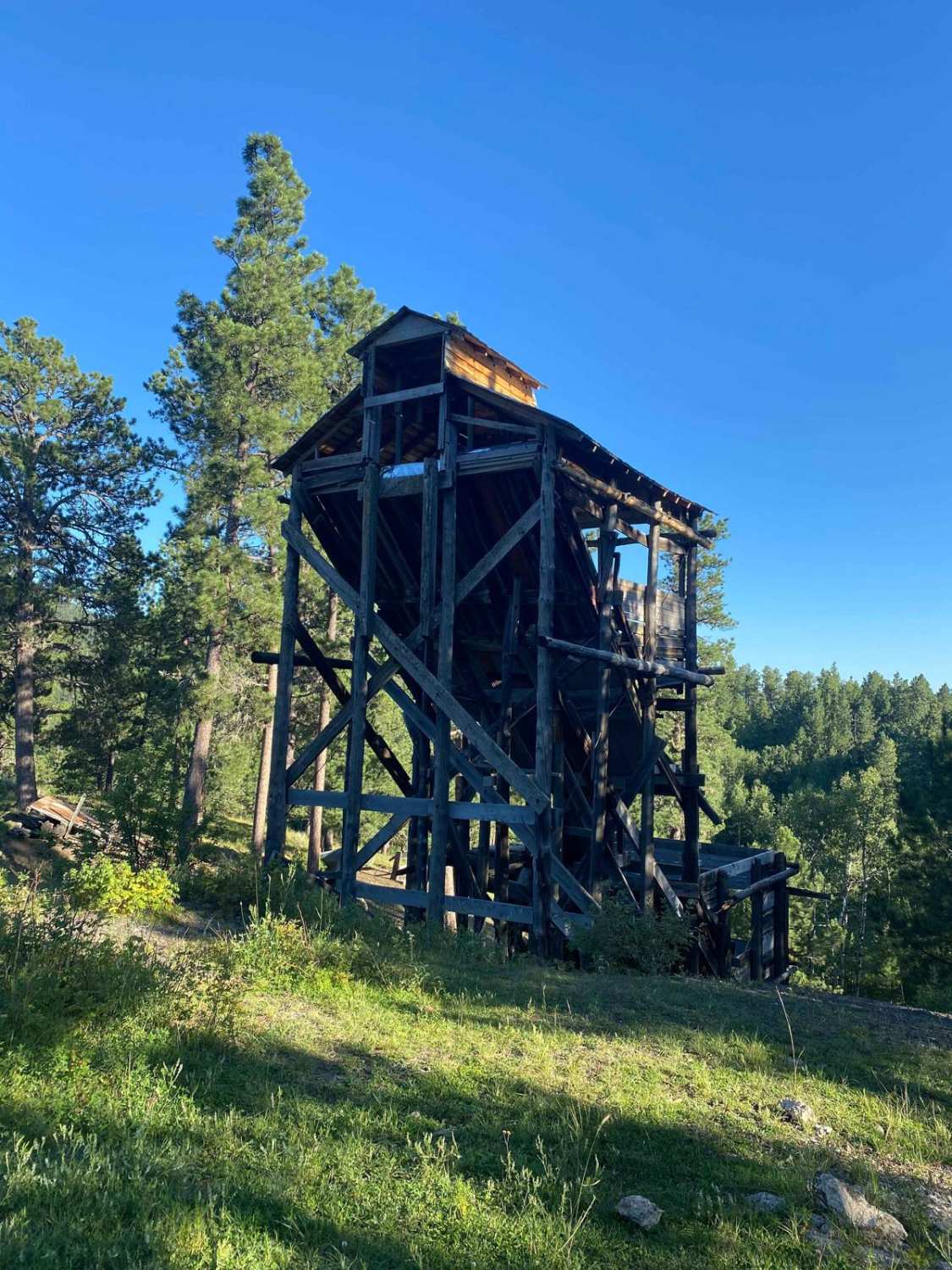
Gold Mountain Mine
Total Miles
1.7
Tech Rating
Easy
Best Time
Spring, Summer, Fall
Learn more about Grasslands to Badlands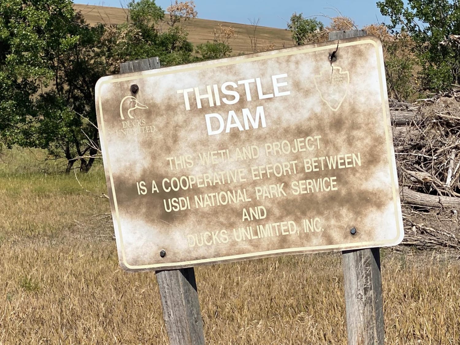
Grasslands to Badlands
Total Miles
8.9
Tech Rating
Easy
Best Time
Summer, Fall
Learn more about Heggie Spring Road
Heggie Spring Road
Total Miles
6.8
Tech Rating
Easy
Best Time
Summer, Fall, Spring
Learn more about Herbert Draw Road
Herbert Draw Road
Total Miles
3.3
Tech Rating
Easy
Best Time
Spring, Summer, Fall
Learn more about Hines Br1i / 336-11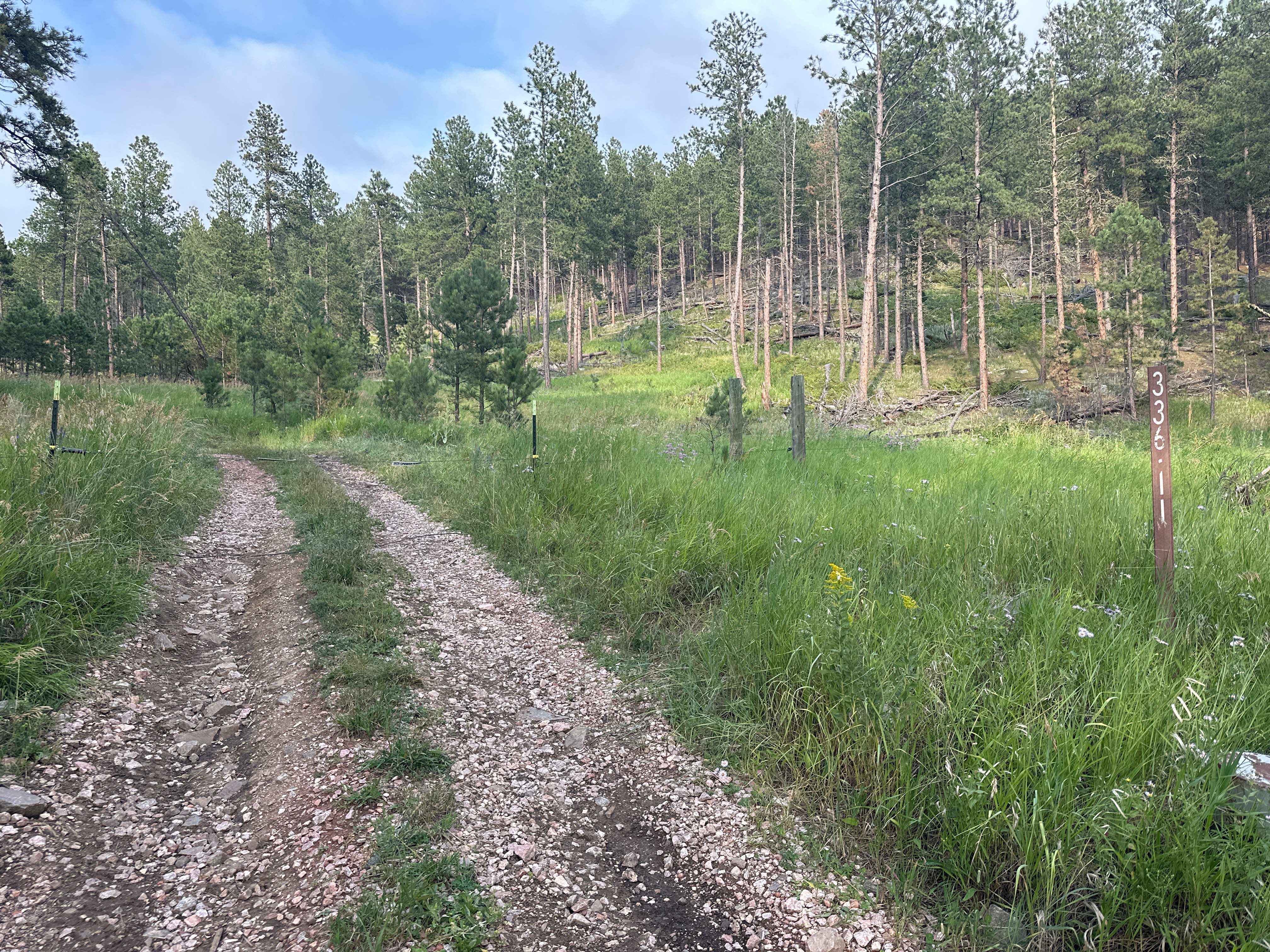
Hines Br1i / 336-11
Total Miles
2.4
Tech Rating
Easy
Best Time
Spring, Summer, Fall
Learn more about Horton Road - Northern Boundary of Badlands National Park
Horton Road - Northern Boundary of Badlands National Park
Total Miles
5.0
Tech Rating
Easy
Best Time
Summer
Learn more about Hughes Draw & Horsethief Road
Hughes Draw & Horsethief Road
Total Miles
6.3
Tech Rating
Easy
Best Time
Summer
Learn more about Indian Creek Rd
Indian Creek Rd
Total Miles
3.2
Tech Rating
Easy
Best Time
Spring, Summer, Fall
Learn more about Johnson Gulch - FS 674.1A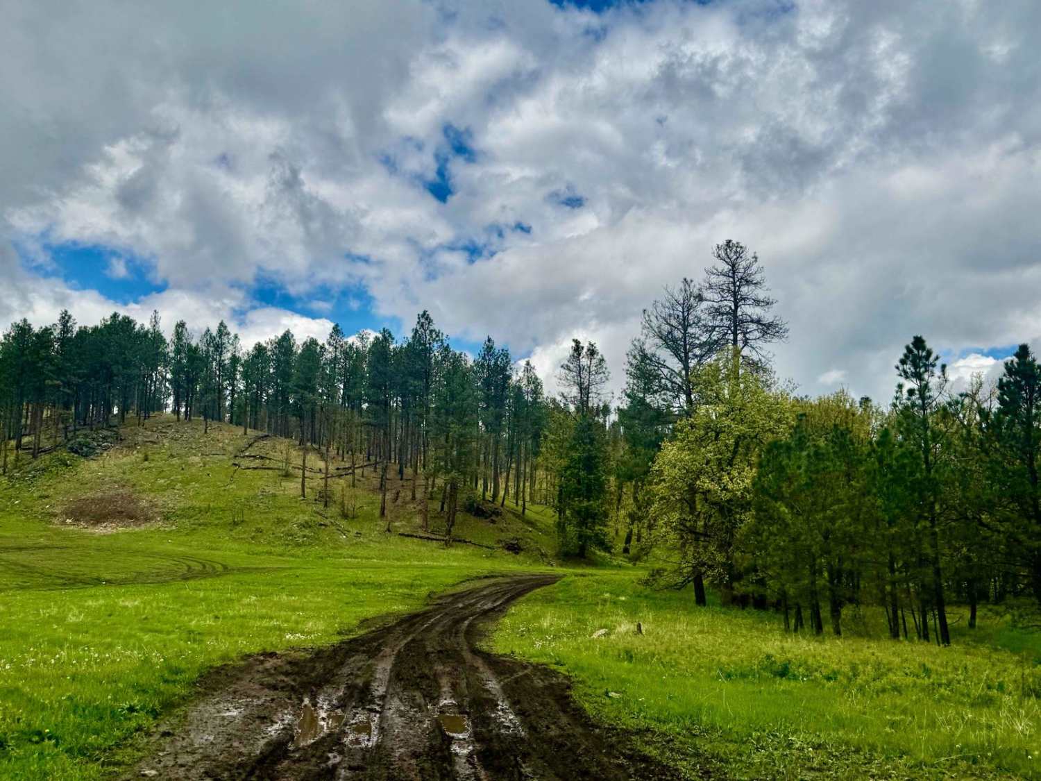
Johnson Gulch - FS 674.1A
Total Miles
2.1
Tech Rating
Moderate
Best Time
Summer, Fall
Learn more about Kelly Spur Road (FS 136) Loop
Kelly Spur Road (FS 136) Loop
Total Miles
6.2
Tech Rating
Moderate
Best Time
Spring, Summer, Fall
Learn more about Lead and Deadwood Overlook
Lead and Deadwood Overlook
Total Miles
3.7
Tech Rating
Easy
Best Time
Fall, Summer, Spring
Learn more about Loamy Loop Lollipop Stem 
Loamy Loop Lollipop Stem
Total Miles
0.8
Tech Rating
Easy
Best Time
Summer, Fall, Spring
ATV trails in South Dakota
UTV/side-by-side trails in South Dakota
The onX Offroad Difference
onX Offroad combines trail photos, descriptions, difficulty ratings, width restrictions, seasonality, and more in a user-friendly interface. Available on all devices, with offline access and full compatibility with CarPlay and Android Auto. Discover what you’re missing today!