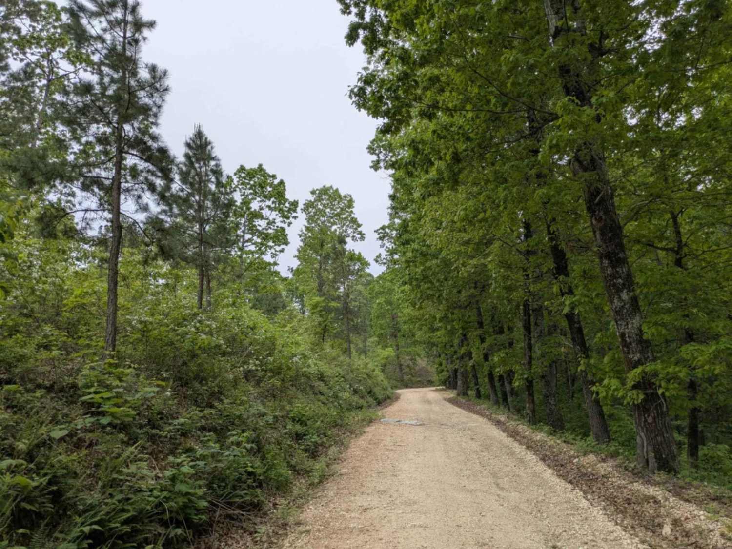
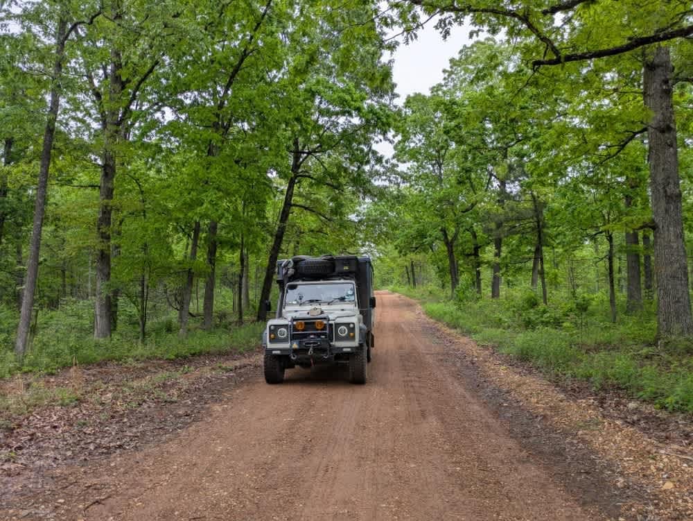
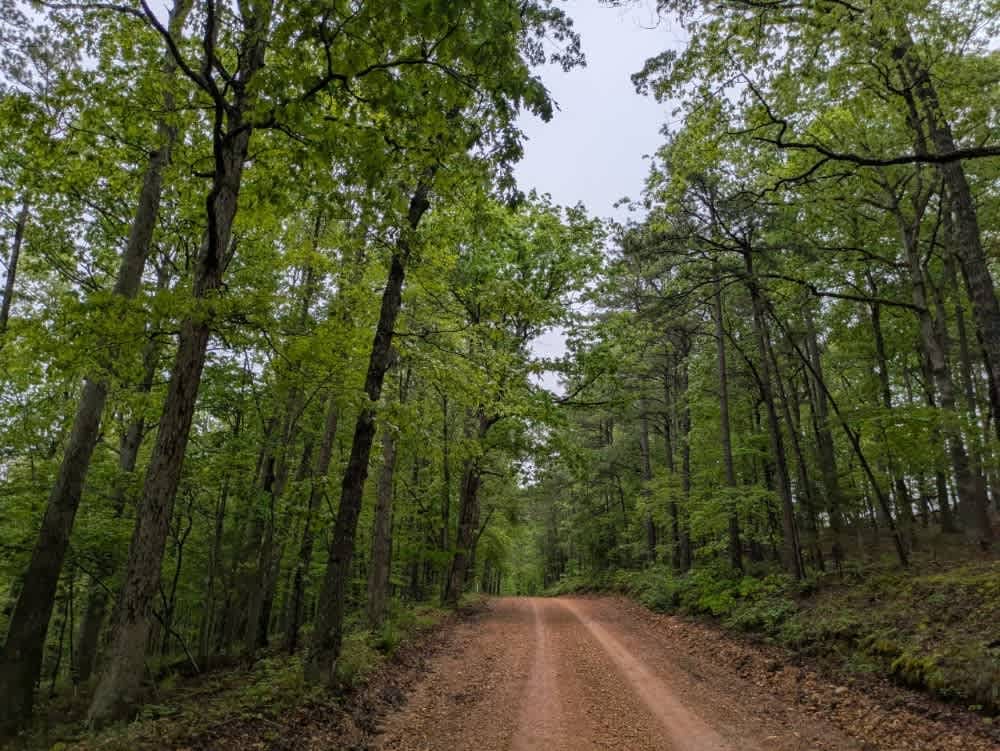
Off-Road Trails in Arkansas
Discover off-road trails in Arkansas
Learn more about Lake Sylvia to Winona Lake and HWY9
Lake Sylvia to Winona Lake and HWY9
Total Miles
18.5
Tech Rating
Easy
Best Time
Spring, Fall, Winter
Learn more about Lash's Loop F17
Lash's Loop F17
Total Miles
0.5
Tech Rating
Easy
Best Time
Spring, Summer, Fall
Learn more about Lava Flow
Lava Flow
Total Miles
0.3
Tech Rating
Moderate
Best Time
Spring, Summer, Fall, Winter
Learn more about Liberty Springs 1334
Liberty Springs 1334
Total Miles
7.0
Tech Rating
Easy
Best Time
Spring, Fall, Winter, Summer
Learn more about Lindsey Ridge - 1547
Lindsey Ridge - 1547
Total Miles
4.9
Tech Rating
Moderate
Best Time
Summer, Fall, Winter
Learn more about Link Mountain Road 210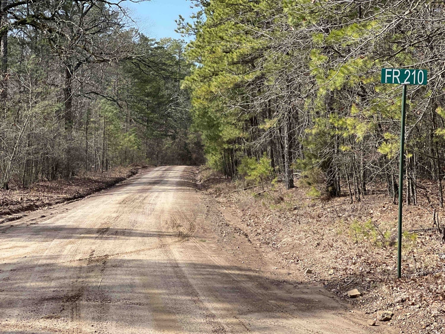
Link Mountain Road 210
Total Miles
14.3
Tech Rating
Easy
Best Time
Spring, Fall, Winter, Summer
Learn more about Little Bigger Road
Little Bigger Road
Total Miles
1.4
Tech Rating
Easy
Best Time
Spring, Winter, Fall, Summer
Learn more about Little Bridge Creek to HWY 73
Little Bridge Creek to HWY 73
Total Miles
7.0
Tech Rating
Easy
Best Time
Spring, Summer, Fall, Winter
Learn more about Little Brushy Road - 48
Little Brushy Road - 48
Total Miles
6.7
Tech Rating
Easy
Best Time
Fall
Learn more about Little Piney Creek - Union School
Little Piney Creek - Union School
Total Miles
9.8
Tech Rating
Easy
Best Time
Spring, Summer, Fall, Winter
Learn more about Lloyd Road
Lloyd Road
Total Miles
1.1
Tech Rating
Easy
Best Time
Spring, Summer, Fall, Winter
Learn more about Logging Bank Trail (FSR #94449B)
Logging Bank Trail (FSR #94449B)
Total Miles
1.9
Tech Rating
Moderate
Best Time
Fall, Winter
Learn more about Long Caney 849 to South Fourche LaFave River
Long Caney 849 to South Fourche LaFave River
Total Miles
2.8
Tech Rating
Easy
Best Time
Spring, Fall, Winter
Learn more about Long Caney bypass
Long Caney bypass
Total Miles
5.5
Tech Rating
Easy
Best Time
Spring, Summer, Fall
Learn more about Long Hollow Road 146
Long Hollow Road 146
Total Miles
11.8
Tech Rating
Easy
Best Time
Spring, Summer, Fall, Winter
Learn more about Long Mountain 76
Long Mountain 76
Total Miles
6.7
Tech Rating
Easy
Best Time
Spring, Fall, Winter
Learn more about M95/Bent Chickenhouse Spur
M95/Bent Chickenhouse Spur
Total Miles
1.2
Tech Rating
Easy
Best Time
Spring, Summer, Fall, Winter
Learn more about Main Mountain Road 83
Main Mountain Road 83
Total Miles
12.2
Tech Rating
Easy
Best Time
Spring, Fall, Winter
ATV trails in Arkansas
Learn more about 1101 Road
1101 Road
Total Miles
8.7
Tech Rating
Easy
Best Time
Summer, Winter, Fall, Spring
UTV/side-by-side trails in Arkansas
Learn more about 1101 Road
1101 Road
Total Miles
8.7
Tech Rating
Easy
Best Time
Summer, Winter, Fall, Spring
The onX Offroad Difference
onX Offroad combines trail photos, descriptions, difficulty ratings, width restrictions, seasonality, and more in a user-friendly interface. Available on all devices, with offline access and full compatibility with CarPlay and Android Auto. Discover what you’re missing today!