Lloyd Road
Total Miles
1.1
Technical Rating
Best Time
Spring, Summer, Fall, Winter
Trail Type
Full-Width Road
Accessible By
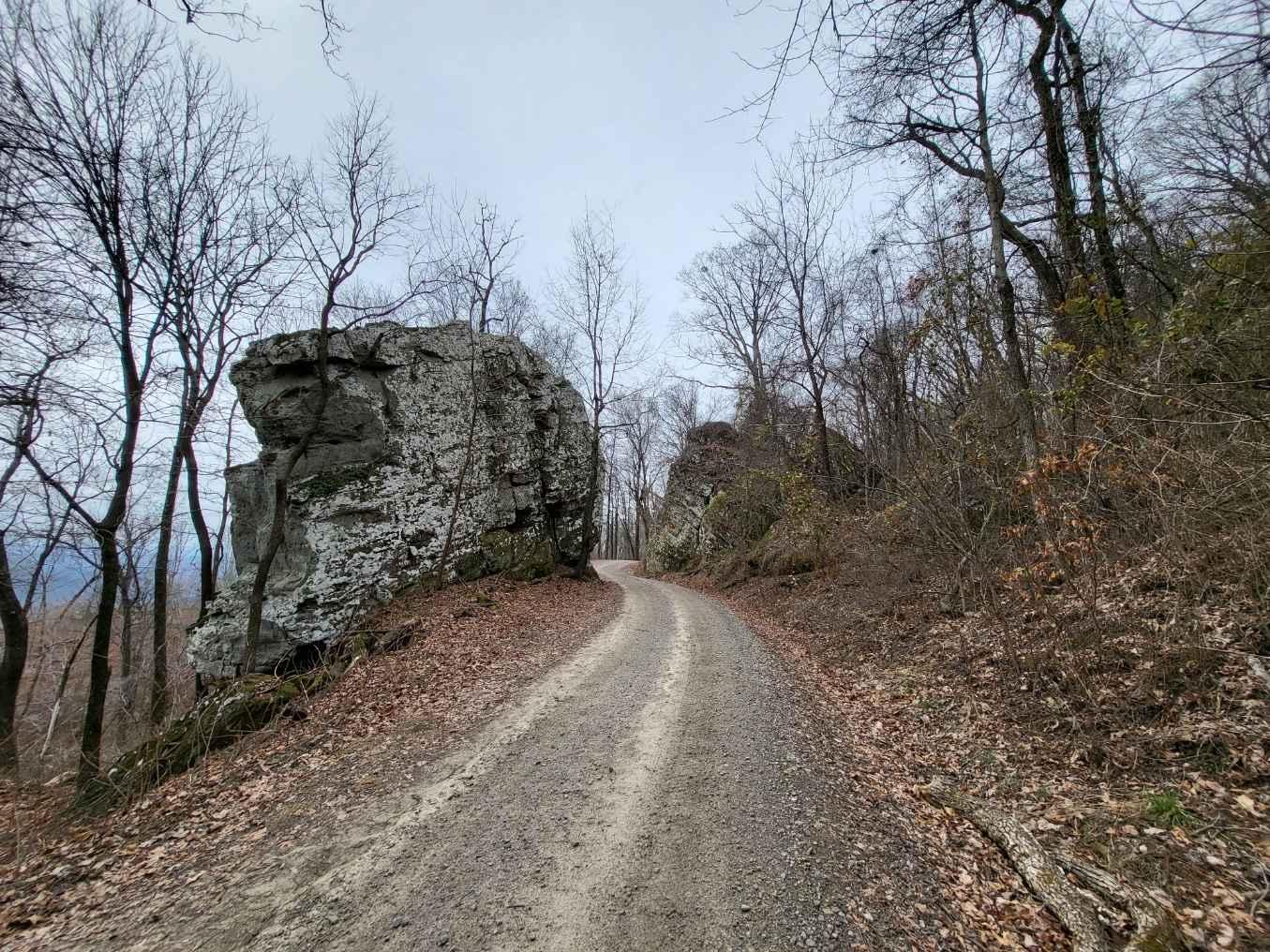
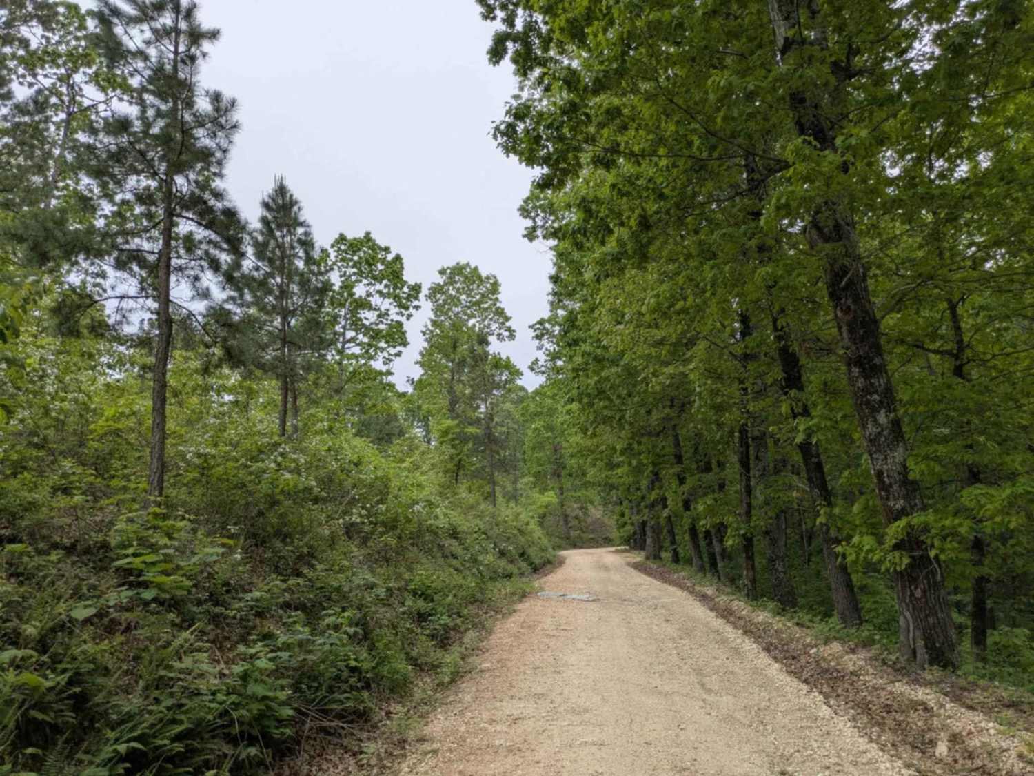
Trail Overview
This trail is a well-maintained but rocky and winding gravel road that leads into the Mount Magazine Wildlife Management Area. It begins between stretches of private land, clearly marked by trees painted with purple rectangles in accordance with the Purple Paint Law, and eventually transitions into National Forest territory. While the drive is generally easy, drivers should remain alert for property boundaries and respect signage. A few spots along the trail may be suitable for dispersed camping, but there are no formal facilities such as trash bins or water sources, and cell phone reception is minimal throughout the area.
Photos of Lloyd Road


Difficulty
This is a well-maintained trail without any difficult sections.
History
The WMA Arkansas refers to Wildlife Management Areas in the state of Arkansas, which are public lands managed by the Arkansas Game and Fish Commission (AGFC). These areas are designated for the conservation of wildlife and their habitats, offering opportunities for outdoor activities such as hunting, fishing, hiking, birdwatching, and camping.
Status Reports
Lloyd Road can be accessed by the following ride types:
- High-Clearance 4x4
- SUV
- SxS (60")
- ATV (50")
- Dirt Bike
Lloyd Road Map
Popular Trails
White Rock Mountain - East

1ST Motorcycle Only
The onX Offroad Difference
onX Offroad combines trail photos, descriptions, difficulty ratings, width restrictions, seasonality, and more in a user-friendly interface. Available on all devices, with offline access and full compatibility with CarPlay and Android Auto. Discover what you’re missing today!