Long Caney 849 to South Fourche LaFave River
Total Miles
2.8
Technical Rating
Best Time
Spring, Fall, Winter
Trail Type
Full-Width Road
Accessible By
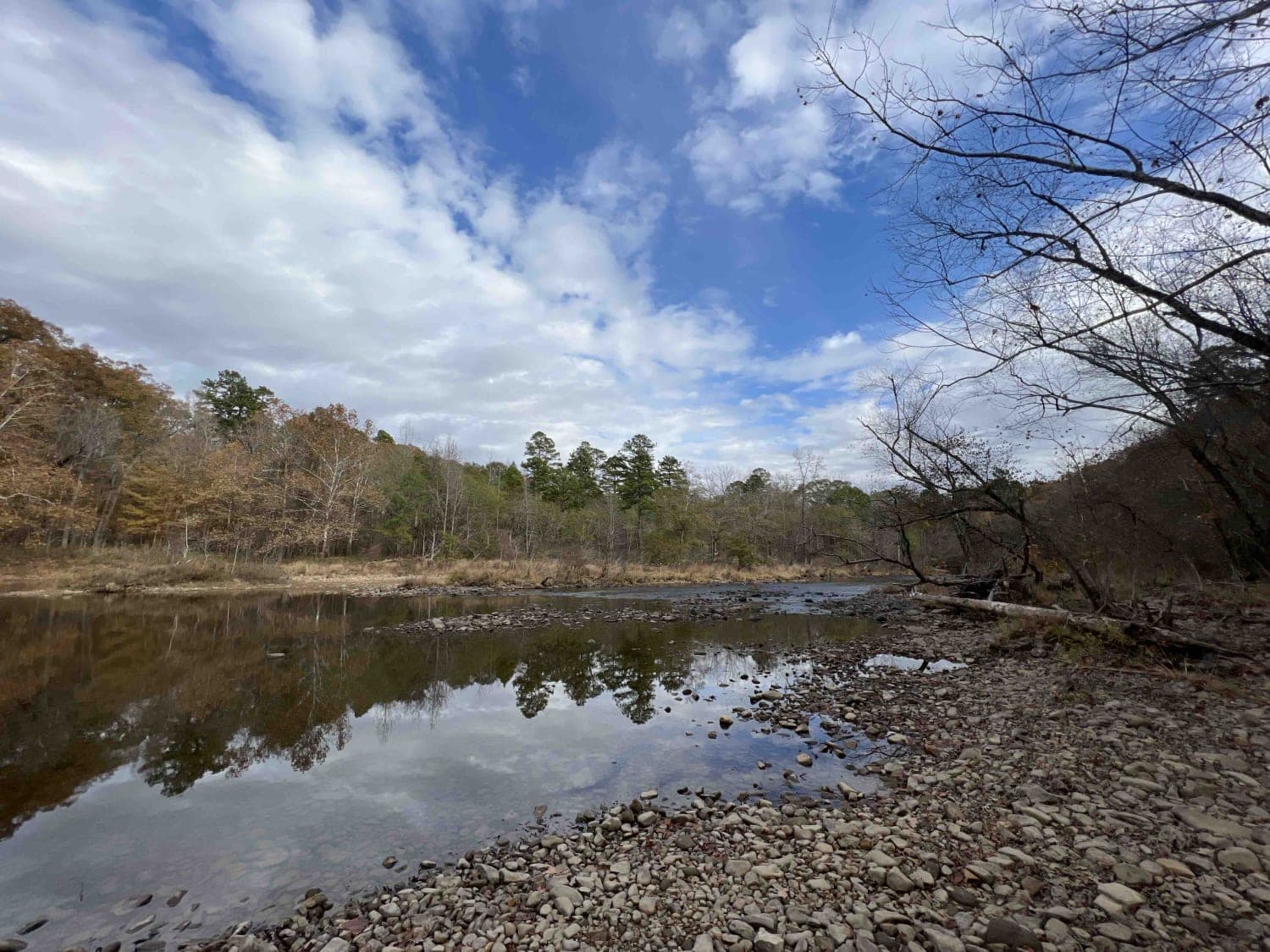
Trail Overview
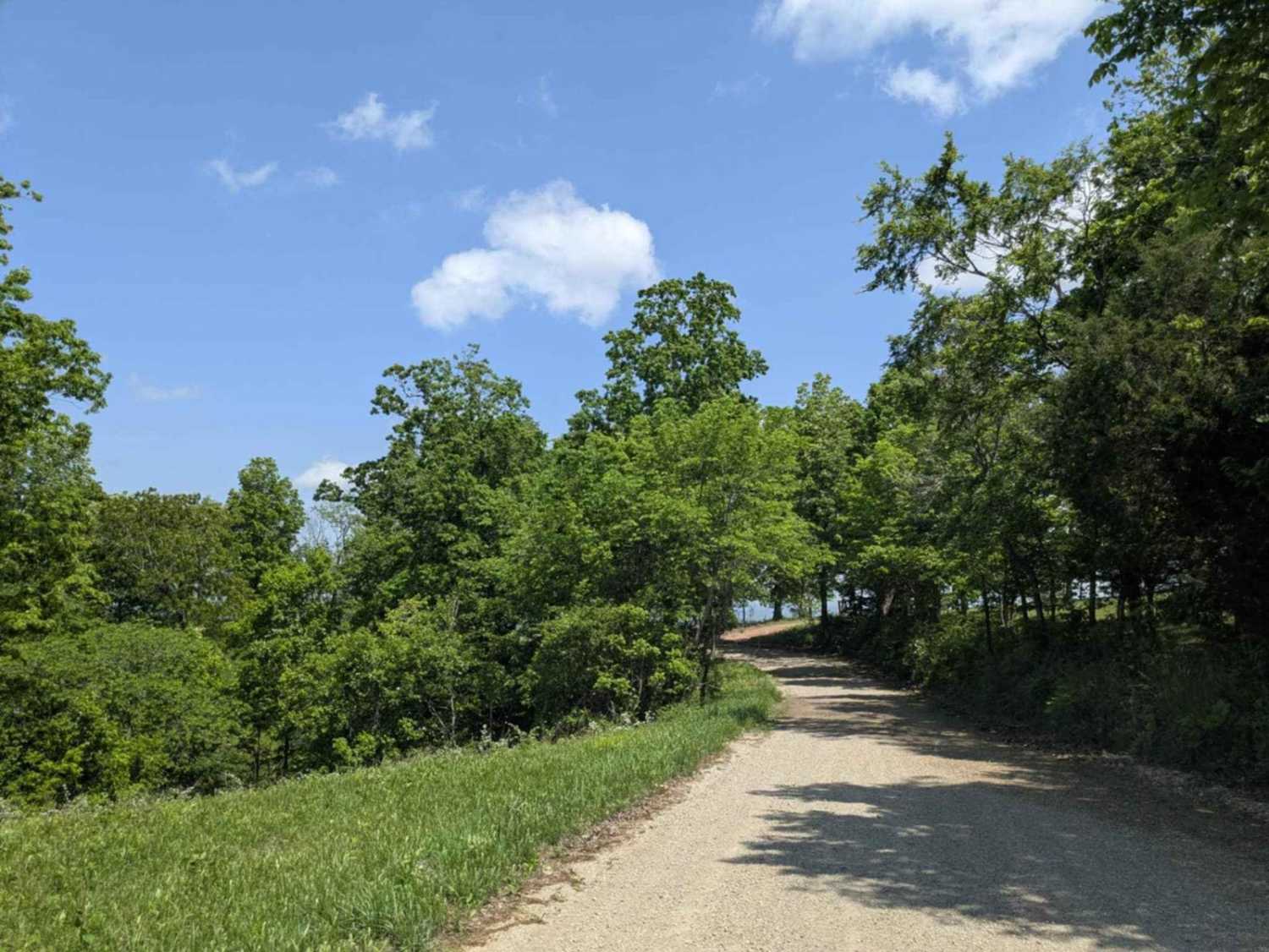
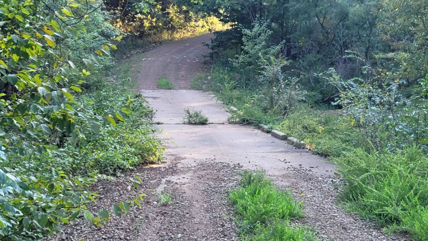
The Northern entrance into the Ouachita National Forest leads to a beautiful large quiet campsite on the South Fourche LaFave River. The road leading to this location is gravel when coming from the north. Once you turn right on Long Caney, it turns into a mud hole road all the way to camp. Lots of trees and pine trees cover the area. The campsite even features a boat ramp to the river for those who want to kayak.
Photos of Long Caney 849 to South Fourche LaFave River
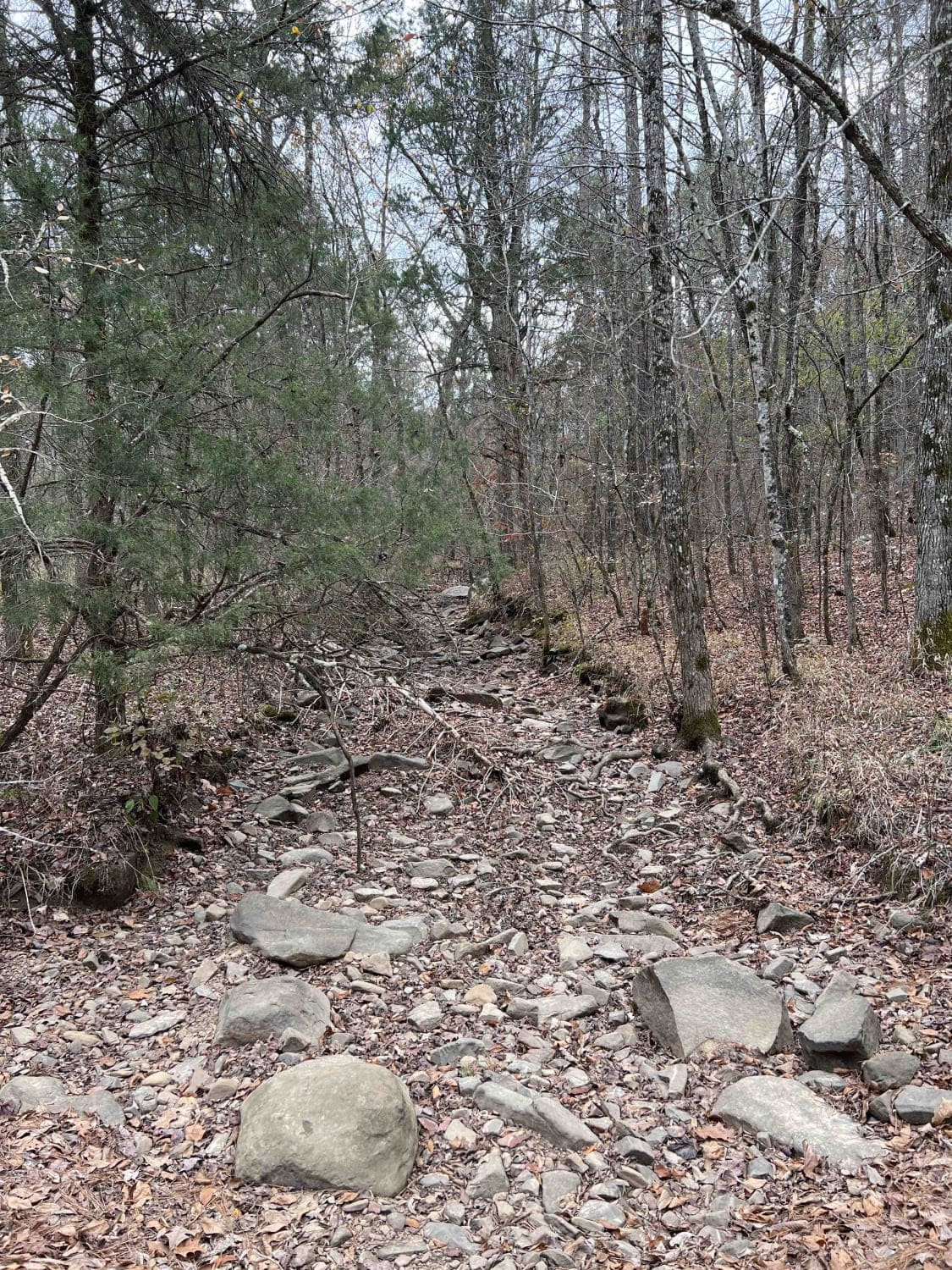
Difficulty
The depth of the mudholes is why I chose this rating. Some of them are pretty deep. You might need a rear differential breather.
Status Reports
Long Caney 849 to South Fourche LaFave River can be accessed by the following ride types:
- High-Clearance 4x4
- SUV
- SxS (60")
- ATV (50")
- Dirt Bike
Long Caney 849 to South Fourche LaFave River Map
Popular Trails
County Road 74

Pond Creek East Side Route
Cumberland Road

Weyerhaeuser 25500
The onX Offroad Difference
onX Offroad combines trail photos, descriptions, difficulty ratings, width restrictions, seasonality, and more in a user-friendly interface. Available on all devices, with offline access and full compatibility with CarPlay and Android Auto. Discover what you’re missing today!