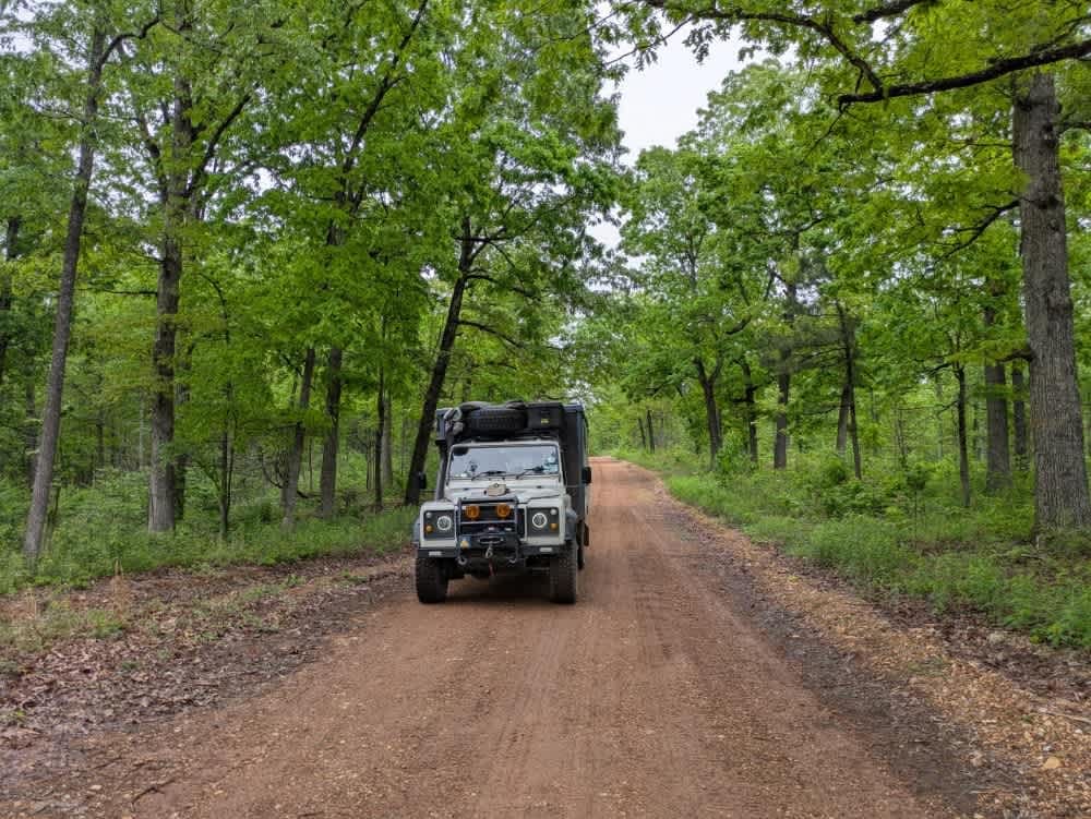
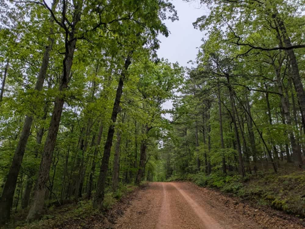
Off-Road Trails in Arkansas
Discover off-road trails in Arkansas
Learn more about Power Wagon
Power Wagon
Total Miles
0.5
Tech Rating
Moderate
Best Time
Spring, Summer, Fall, Winter
Learn more about Prater Road 225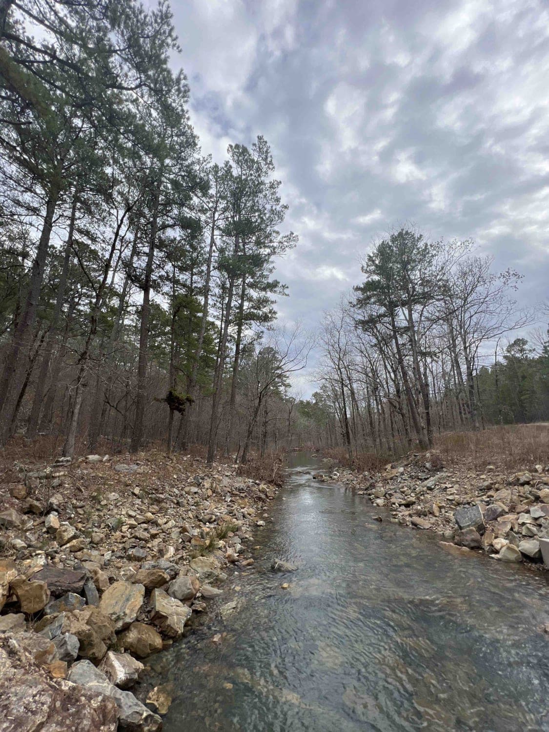
Prater Road 225
Total Miles
5.7
Tech Rating
Easy
Best Time
Spring, Summer, Fall, Winter
Learn more about Primitive Camp and Shooting Range in Poison Springs WMA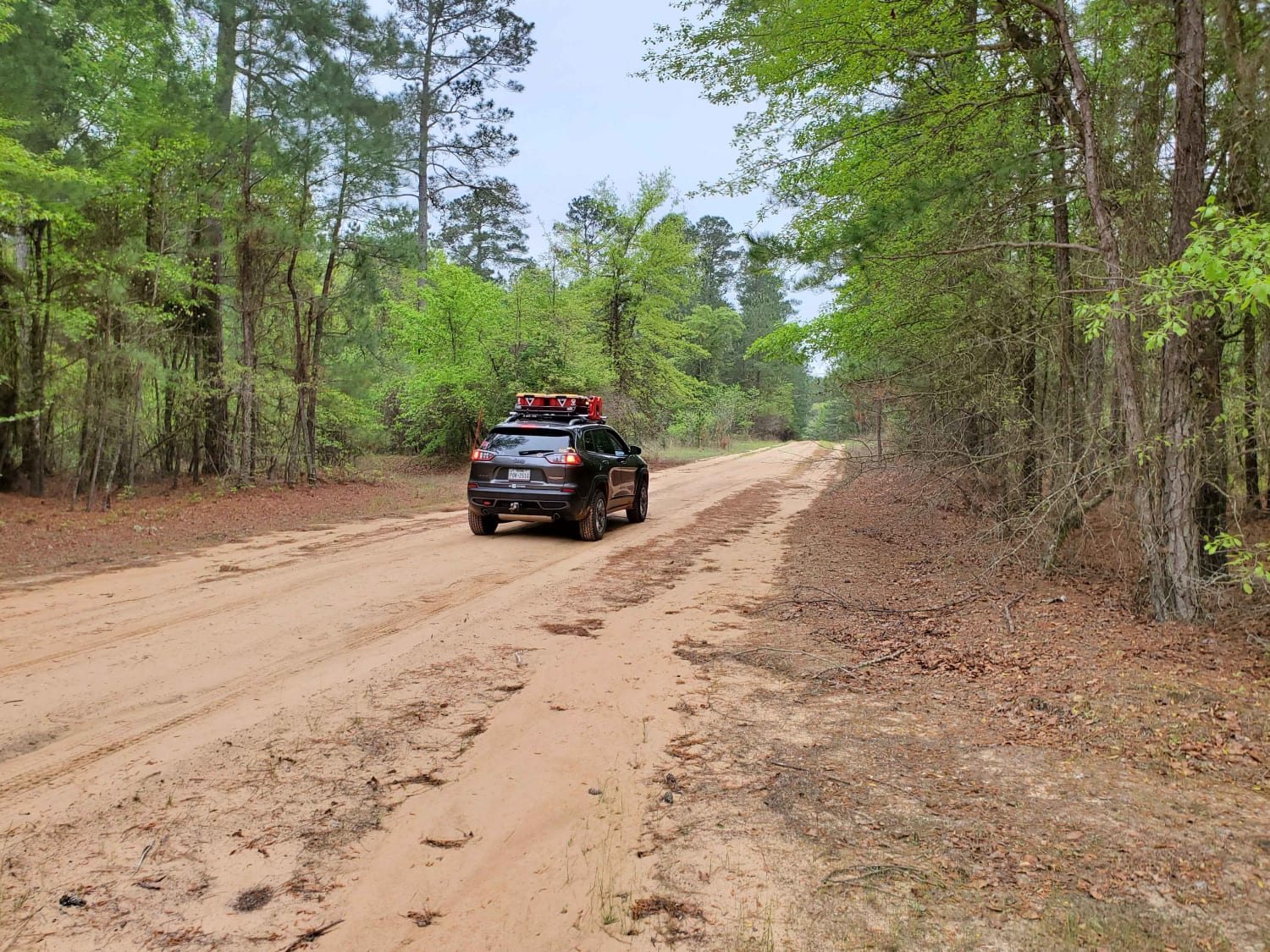
Primitive Camp and Shooting Range in Poison Springs WMA
Total Miles
2.2
Tech Rating
Easy
Best Time
Spring, Summer, Fall, Winter
Learn more about Prison Fence Trail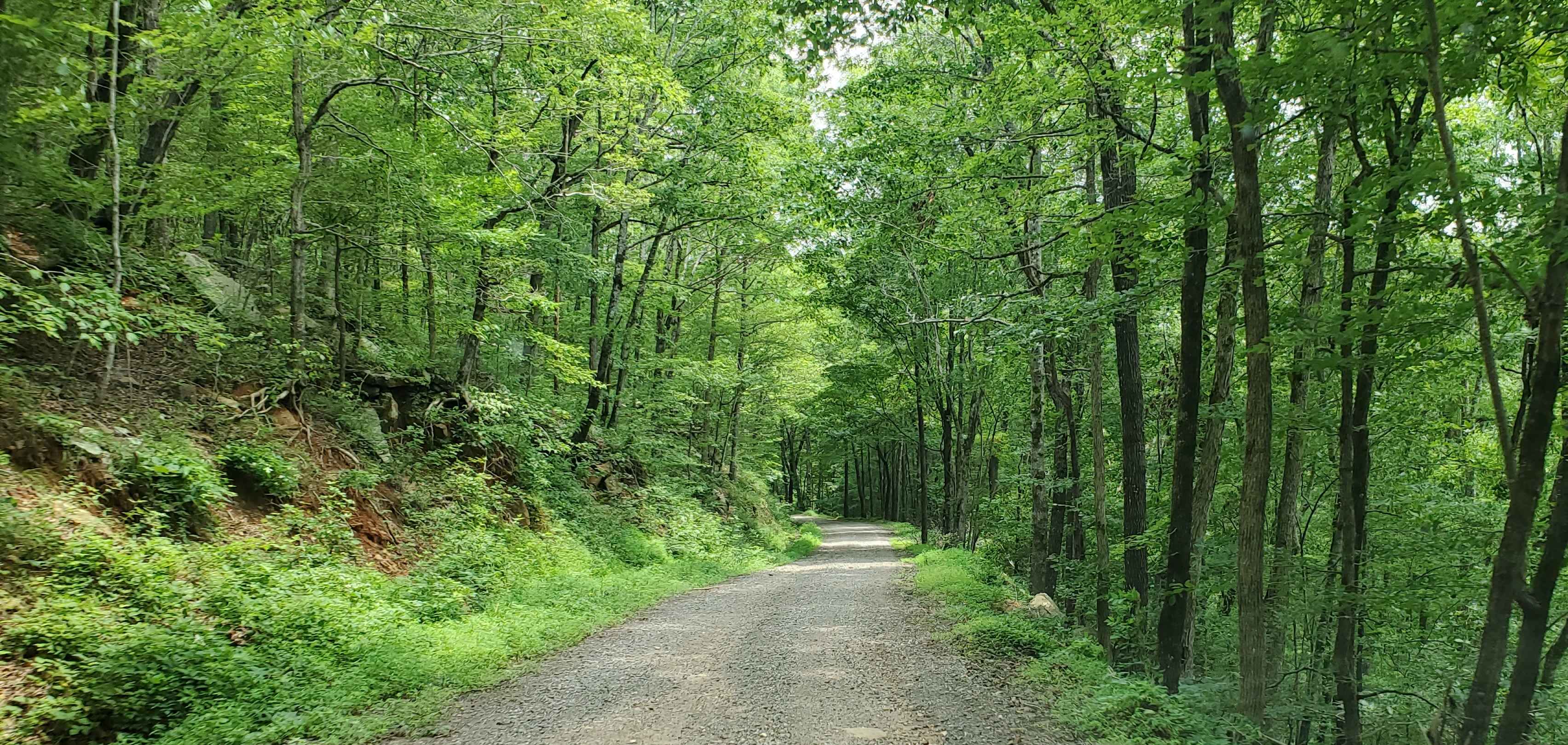
Prison Fence Trail
Total Miles
17.0
Tech Rating
Easy
Best Time
Spring, Fall
Learn more about Q-O Connector
Q-O Connector
Total Miles
0.8
Tech Rating
Moderate
Best Time
Spring, Summer, Fall, Winter
Learn more about Radio Tower Road (178A)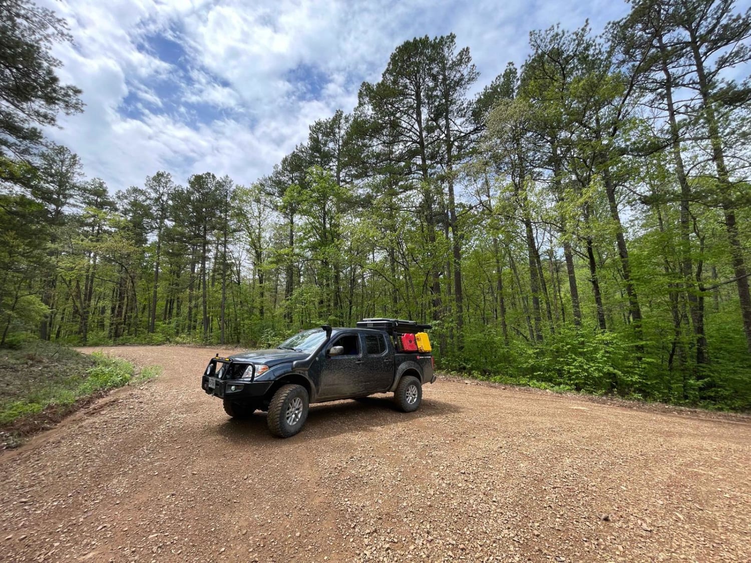
Radio Tower Road (178A)
Total Miles
2.6
Tech Rating
Easy
Best Time
Spring, Summer, Fall, Winter
Learn more about Ragtown/Mill Creek Rd 1509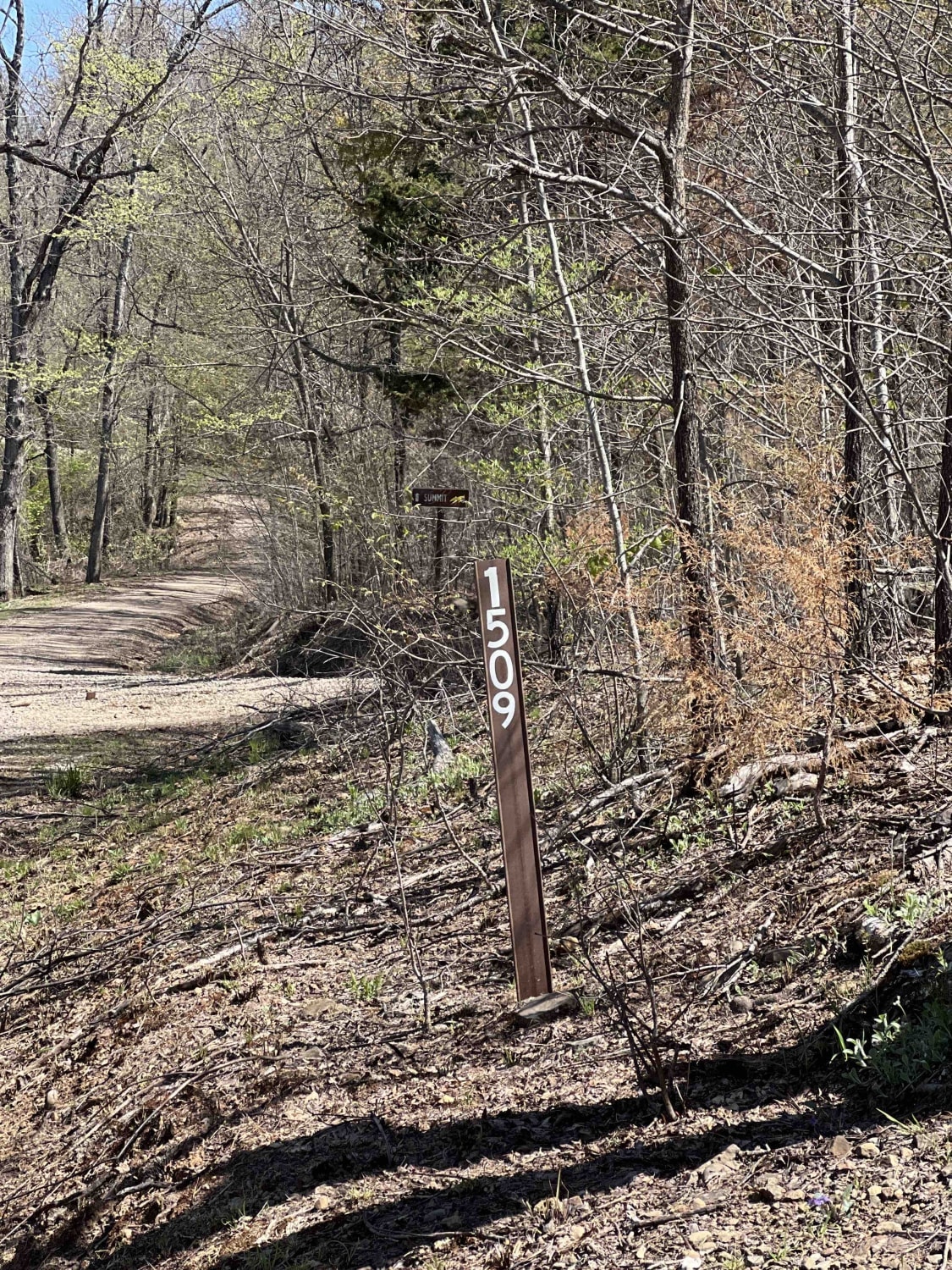
Ragtown/Mill Creek Rd 1509
Total Miles
7.6
Tech Rating
Moderate
Best Time
Learn more about Rainey Brake WMA Road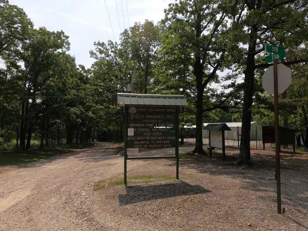
Rainey Brake WMA Road
Total Miles
4.8
Tech Rating
Easy
Best Time
Summer, Spring, Fall, Winter
Learn more about Rich Mountain Road
Rich Mountain Road
Total Miles
6.8
Tech Rating
Easy
Best Time
Spring, Summer, Fall, Winter
Learn more about Rick Evans Grandview Prairie WMA Auto Route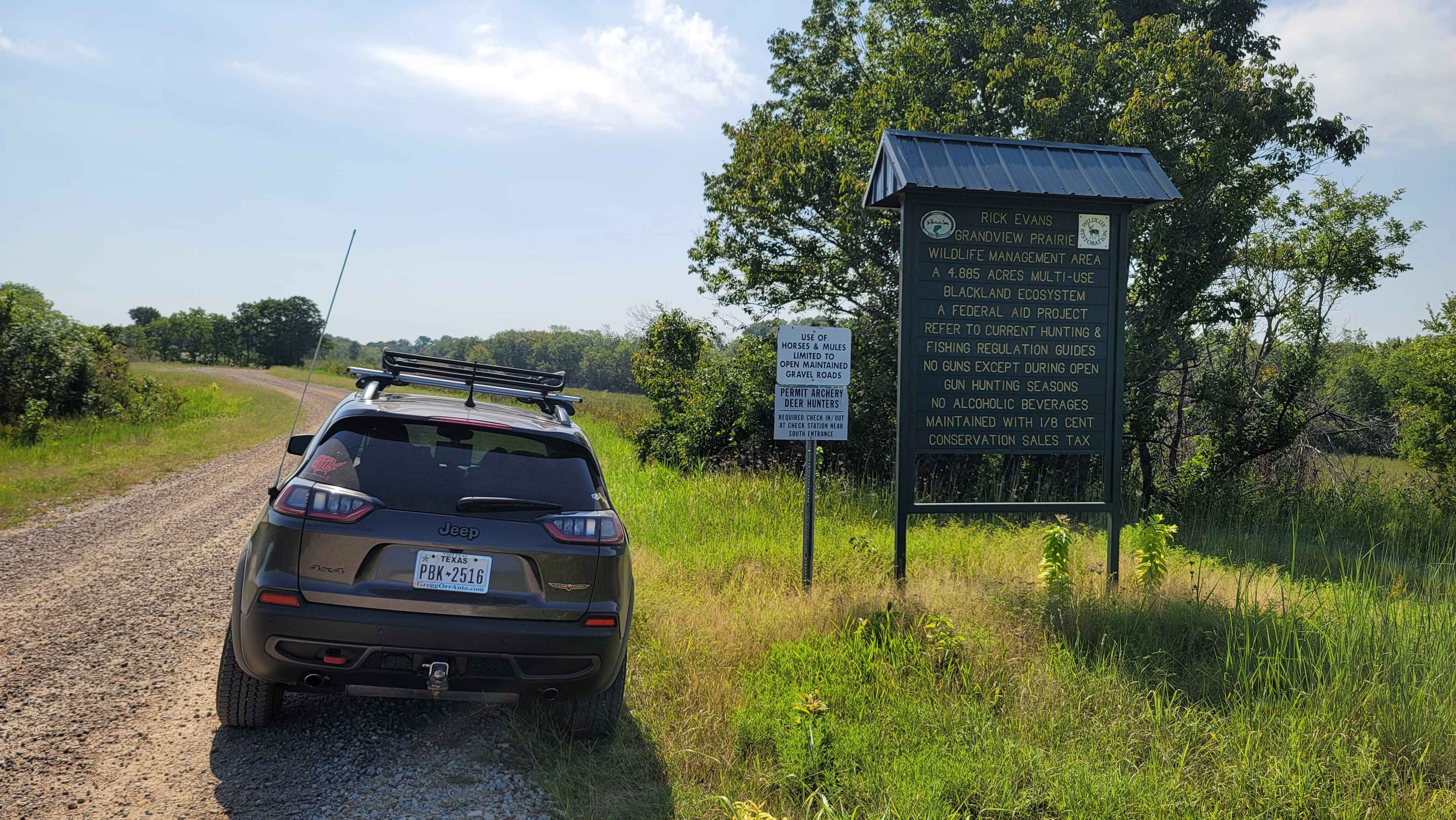
Rick Evans Grandview Prairie WMA Auto Route
Total Miles
13.9
Tech Rating
Easy
Best Time
Spring, Summer, Fall, Winter
Learn more about Ritter Road
Ritter Road
Total Miles
3.6
Tech Rating
Moderate
Best Time
Spring, Summer, Fall
Learn more about Ritz Road
Ritz Road
Total Miles
0.7
Tech Rating
Easy
Best Time
Spring, Summer, Fall, Winter
Learn more about River Ridge
River Ridge
Total Miles
1.3
Tech Rating
Easy
Best Time
Spring, Summer, Fall, Winter
Learn more about Road 263 to HWY342
Road 263 to HWY342
Total Miles
6.8
Tech Rating
Easy
Best Time
Spring, Summer, Fall
Learn more about Road 58/FSR 1004
Road 58/FSR 1004
Total Miles
12.0
Tech Rating
Easy
Best Time
Spring, Fall, Winter
Learn more about Road to Emmaus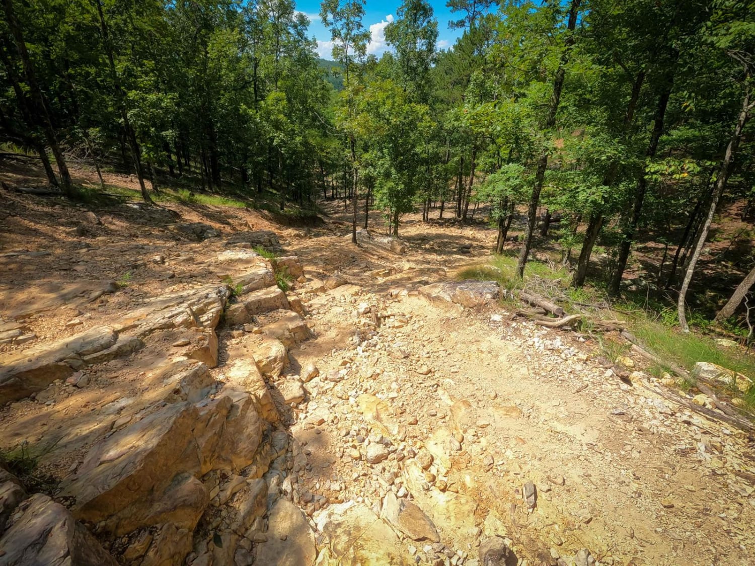
Road to Emmaus
Total Miles
0.8
Tech Rating
Moderate
Best Time
Spring, Summer, Fall, Winter
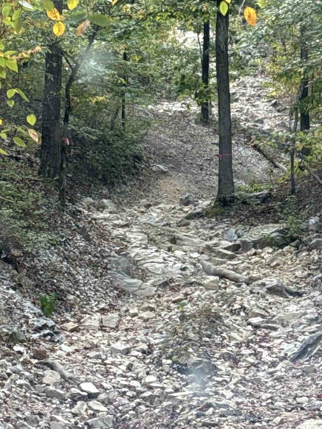
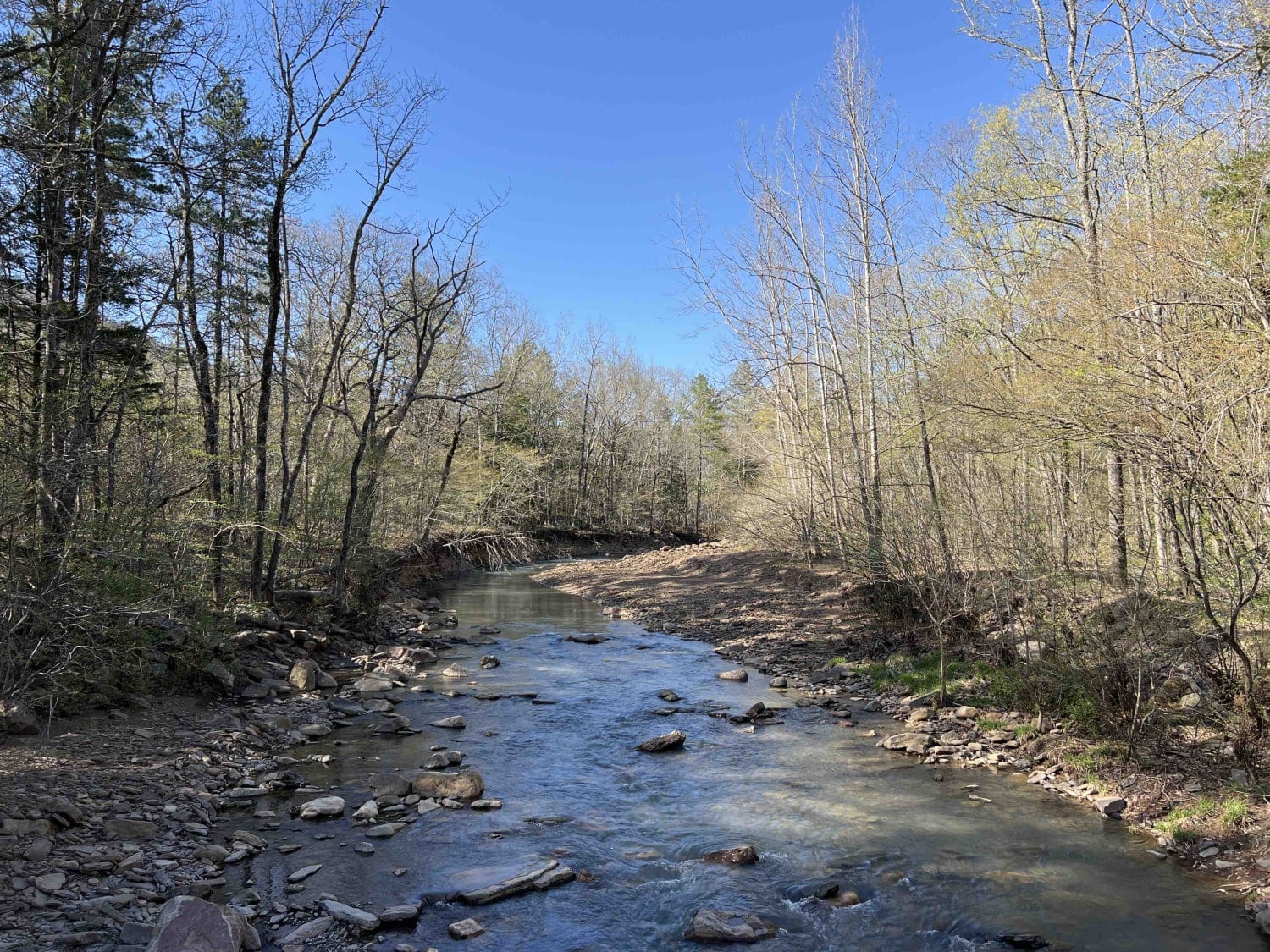
Learn more about Robertson Creek 163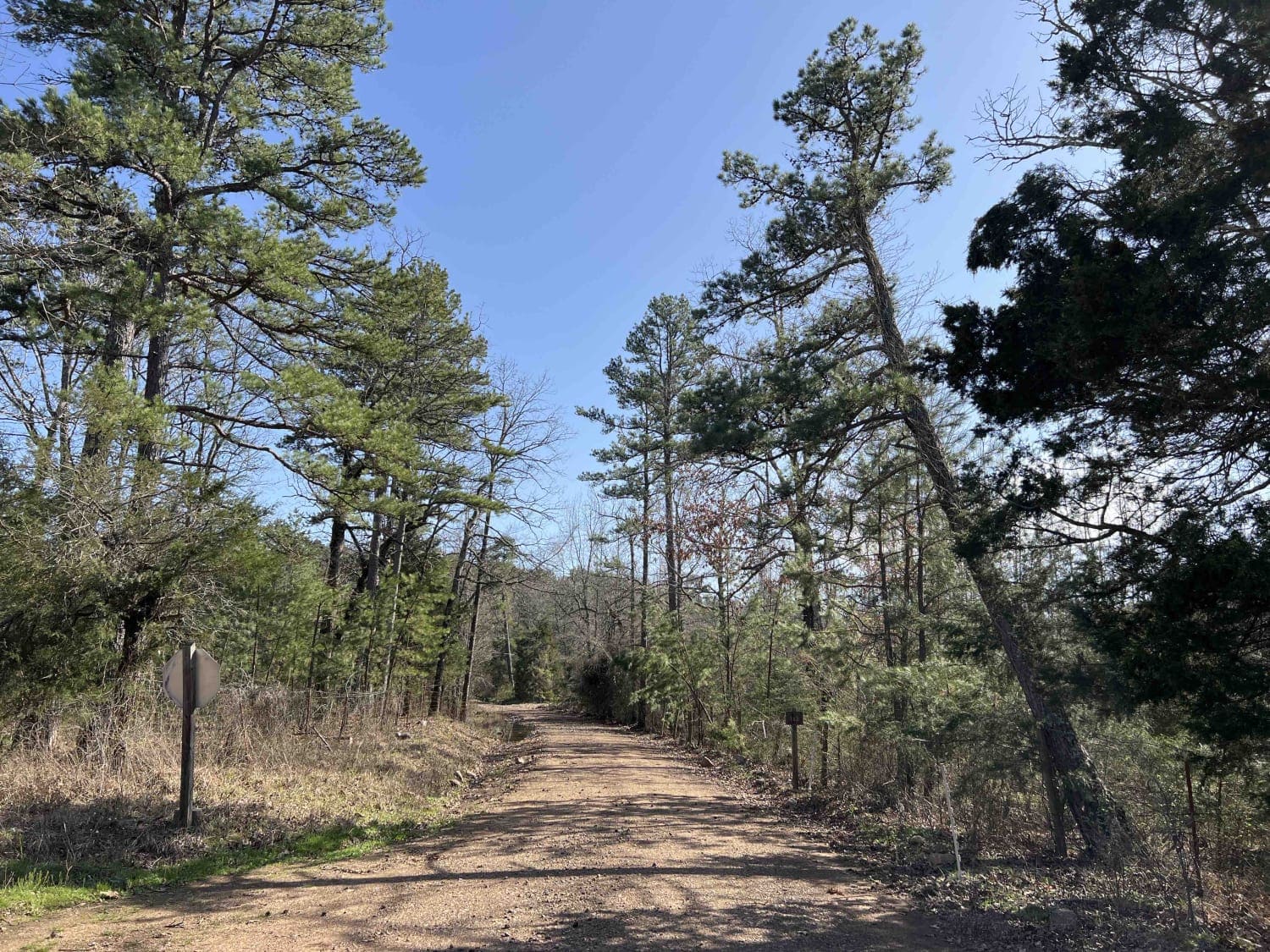
Robertson Creek 163
Total Miles
5.9
Tech Rating
Moderate
Best Time
Spring, Fall
ATV trails in Arkansas
Learn more about 1101 Road
1101 Road
Total Miles
8.7
Tech Rating
Easy
Best Time
Summer, Winter, Fall, Spring
UTV/side-by-side trails in Arkansas
Learn more about 1101 Road
1101 Road
Total Miles
8.7
Tech Rating
Easy
Best Time
Summer, Winter, Fall, Spring
The onX Offroad Difference
onX Offroad combines trail photos, descriptions, difficulty ratings, width restrictions, seasonality, and more in a user-friendly interface. Available on all devices, with offline access and full compatibility with CarPlay and Android Auto. Discover what you’re missing today!