Prison Fence Trail
Total Miles
17.0
Technical Rating
Best Time
Spring, Fall
Trail Type
Full-Width Road
Accessible By
Trail Overview
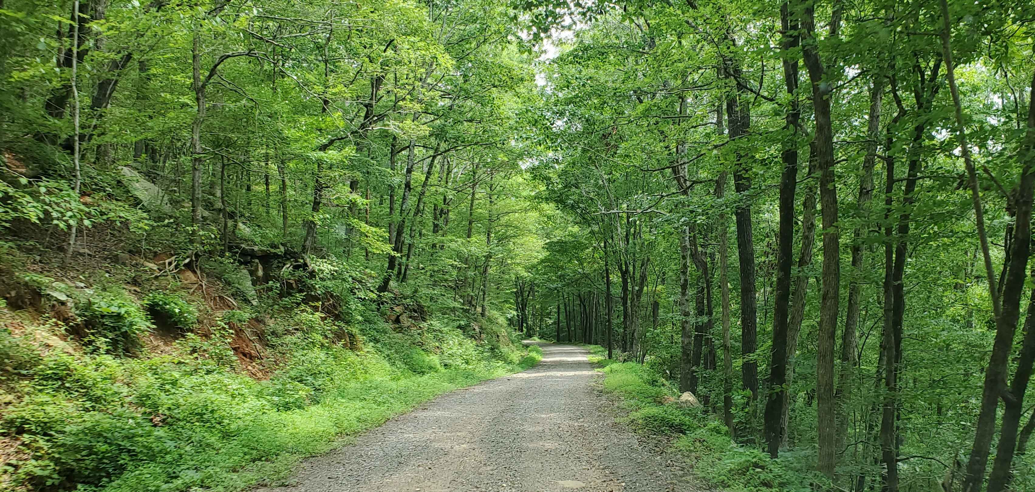
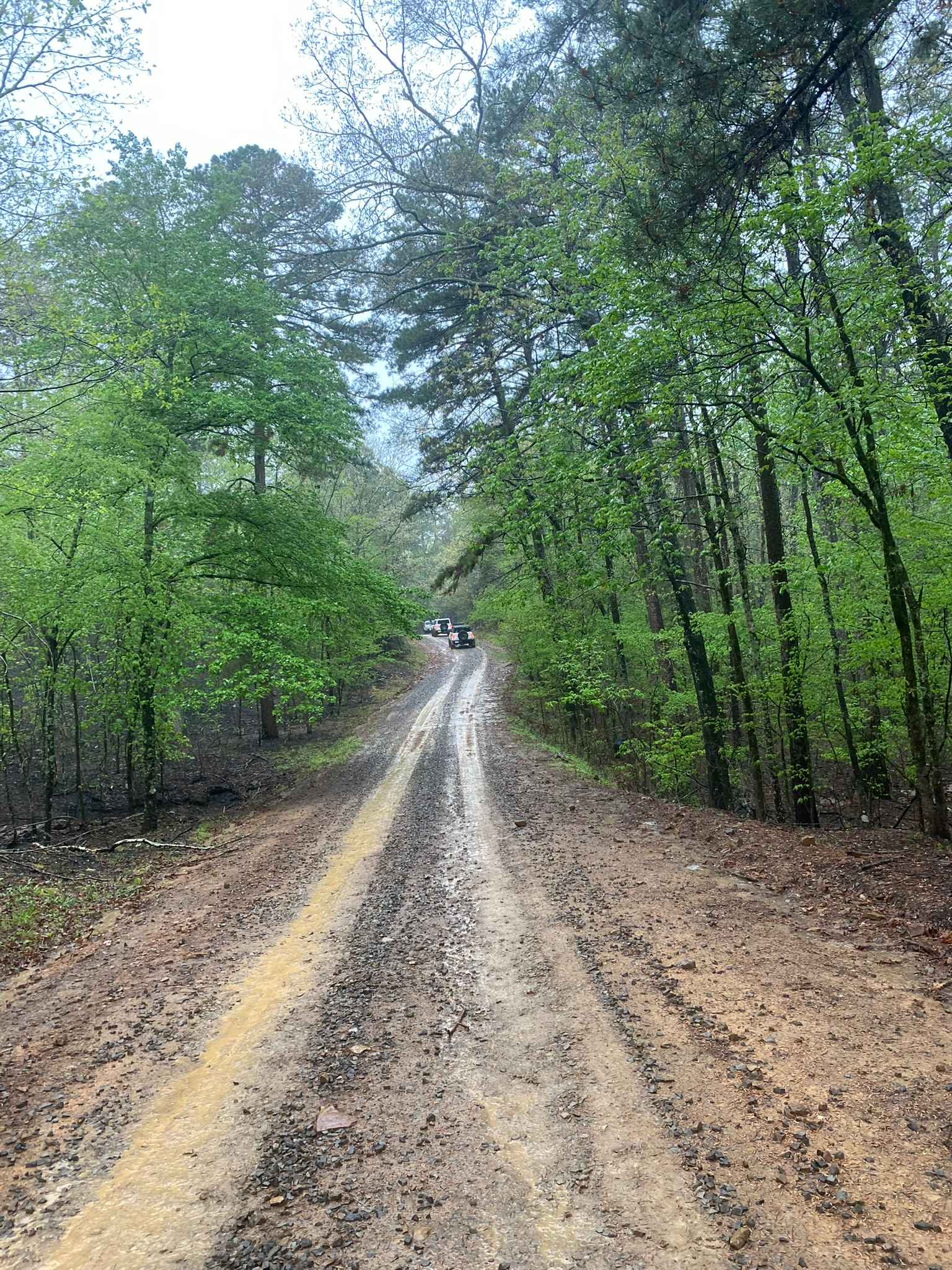
This is an easy scenic trail with various terrain types, including gravel, dirt, mud holes, rock ledges, and shallow water crossings. The elevation varies from around 1100' to just over 2400' as it follows along the Little Mulberry River. This trail runs north and south between Highway 16 and Highway 215 and makes for a great day of easy trail exploring when paired with Beach Grove Road to the West. The first time we traveled down this trail, we met one of the residents in the area with a large garden. He talked about how hard it is to keep the bears out. He built a fence that was probably 10' tall and had a coil of razor wire around the top. When you see this fence, it will be evident as to why I call it the Prison Fence Trail.
Photos of Prison Fence Trail

Difficulty
For the most part, this trail is a very easy drive on a county road with scenic views. However, there are a couple of obstacles that require high clearance, and a couple of areas that stay muddy almost year round. After a heavy rain, or in the spring, you will need 4WD in the muddy areas.
Status Reports
Prison Fence Trail can be accessed by the following ride types:
- High-Clearance 4x4
- SUV
- SxS (60")
- ATV (50")
- Dirt Bike
Prison Fence Trail Map
Popular Trails

C5 Humdinger

E12 Prothane Point
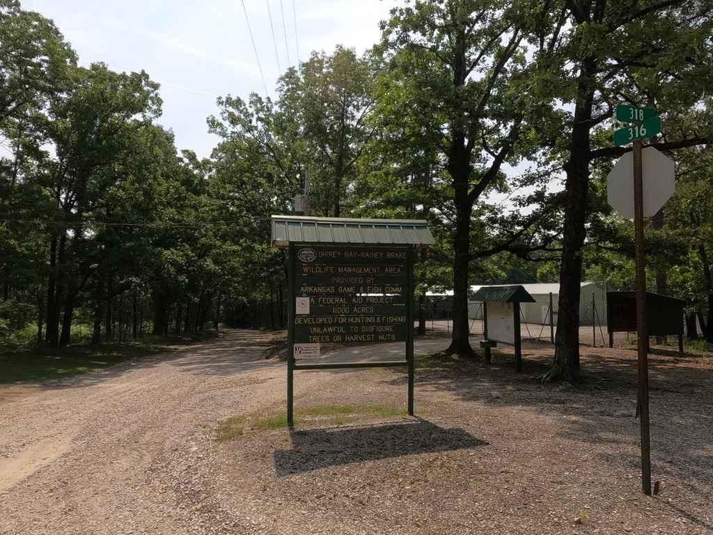
Rainey Brake WMA Road
Little Bigger Road
The onX Offroad Difference
onX Offroad combines trail photos, descriptions, difficulty ratings, width restrictions, seasonality, and more in a user-friendly interface. Available on all devices, with offline access and full compatibility with CarPlay and Android Auto. Discover what you’re missing today!