Road 58/FSR 1004
Total Miles
12.0
Technical Rating
Best Time
Spring, Fall, Winter
Trail Type
Full-Width Road
Accessible By
Trail Overview
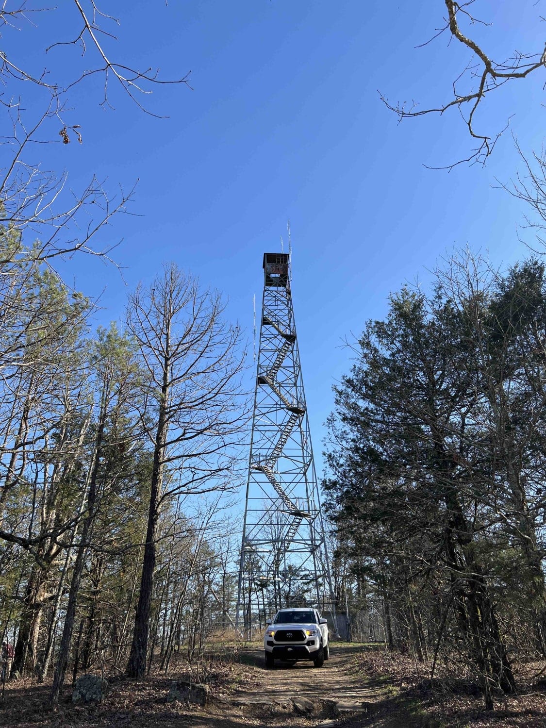
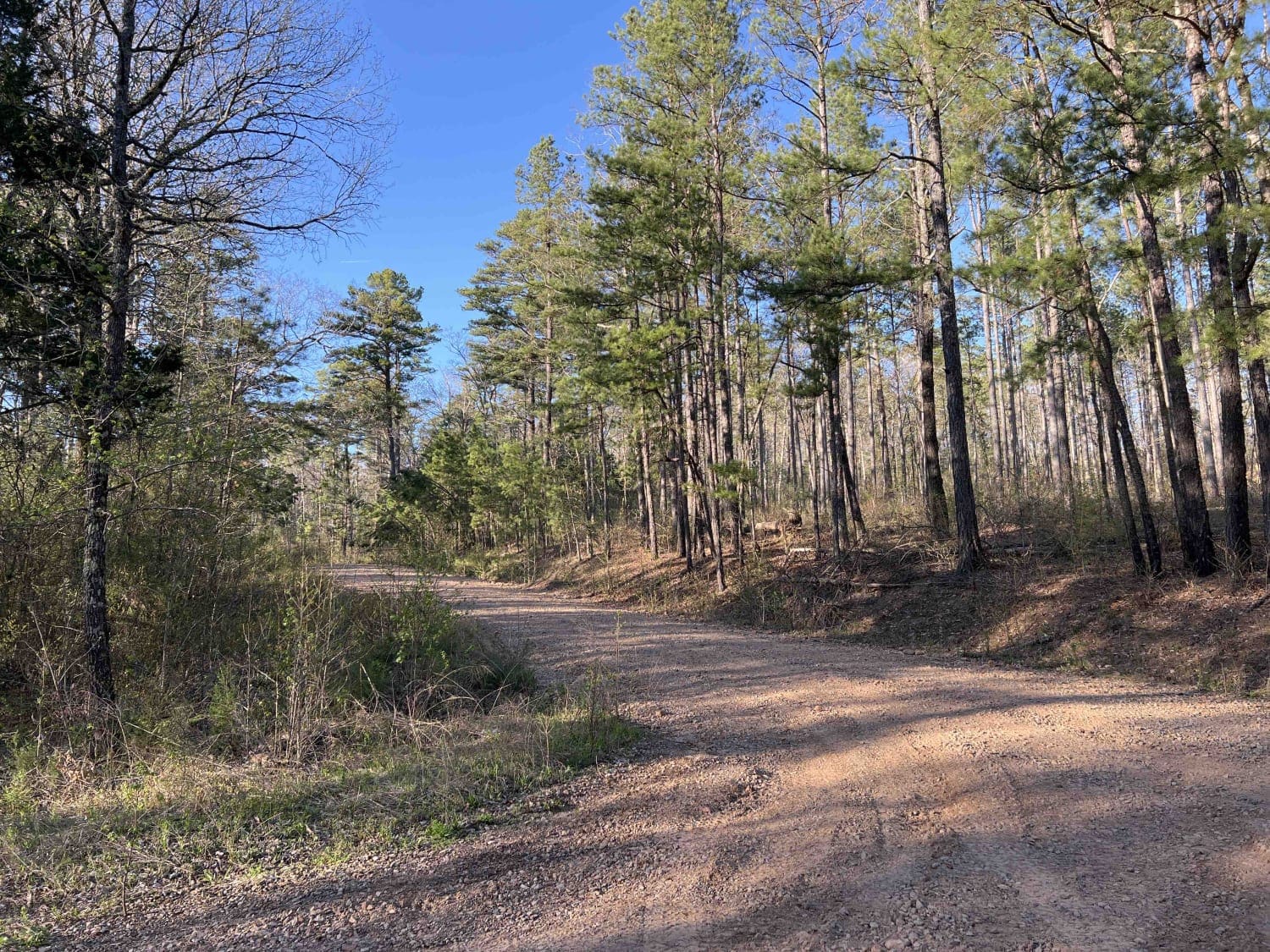
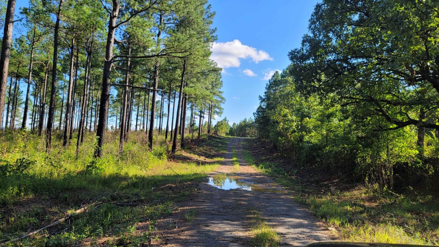
To eliminate confusion about the trail name, road 58 is a road that is in several areas of the national forest. It changes other names but if you just continue down this route and follow all the Road 58 signs it goes on for quite a while. It's an easy gravel road that leads to one of the most majestic and scenic camping spots in the Ozark National Forest. Devil's Knob sits at 2,277 feet and was at one point a fire lookout station. It still has the fire tower which has to be at least 500 feet in the air. It's absolutely stunning and a must-see if you travel this route. Old remints of a major fire camp are still standing including the foundations. In order to get to this location high clearance and 4x4 are required and the road is very technical. Once you spend some time at the fire tower you continue east. There is a marked trail that has a gate. I talked to the son of the property owner and he said if anyone wanted access to that road they had to talk with "Pa". Great people out in these areas, everyone waves at you while you're driving down the road. One of the attractions on this road is a side route Big Bee Ridge which is a 4x4 playground. Lots of primitive campsites with no running water or bathrooms. Lots of white oak and pine trees. The spring is turkey season so do be mindful to have an orange collar or vest on your furry friends. Cell service is attainable in certain areas but isn't that great. If you don't already know Arkansas is very humid and hot which means more bugs and snakes during the summer time so the national forests are better spent enjoying them during the spring, fall, and winter months.
Photos of Road 58/FSR 1004
Difficulty
Unless you are taking FSR 1432 to Devil's Knob, or Big Bee Ridge, road 58 is an easy gravel road. There are steep drop off's and is mostly a one-lane road with some pull-out areas.
History
Devil's Knob- https://centraluslookouts.weebly.com/devils-knob.htmlhttps://www.arkansasheritage.com/arkansas-natural-heritage/naturalareas/find-a-natural-area/devils-knob-devils-backbone-natural-areahttps://www.arkansasheritage.com/docs/default-source/anhc-maps/trail-maps/devilsknob_trail_5_17_21.pdf?sfvrsn=45039df6_2
Status Reports
Road 58/FSR 1004 can be accessed by the following ride types:
- High-Clearance 4x4
- SUV
- SxS (60")
- ATV (50")
- Dirt Bike
Road 58/FSR 1004 Map
Popular Trails
Fox Pen West

Slo Fork Road
Brush Creek

Pond Creek East Side Route
The onX Offroad Difference
onX Offroad combines trail photos, descriptions, difficulty ratings, width restrictions, seasonality, and more in a user-friendly interface. Available on all devices, with offline access and full compatibility with CarPlay and Android Auto. Discover what you’re missing today!