Womble Silver
Total Miles
5.3
Technical Rating
Best Time
Spring, Summer, Fall, Winter
Trail Type
Full-Width Road
Accessible By
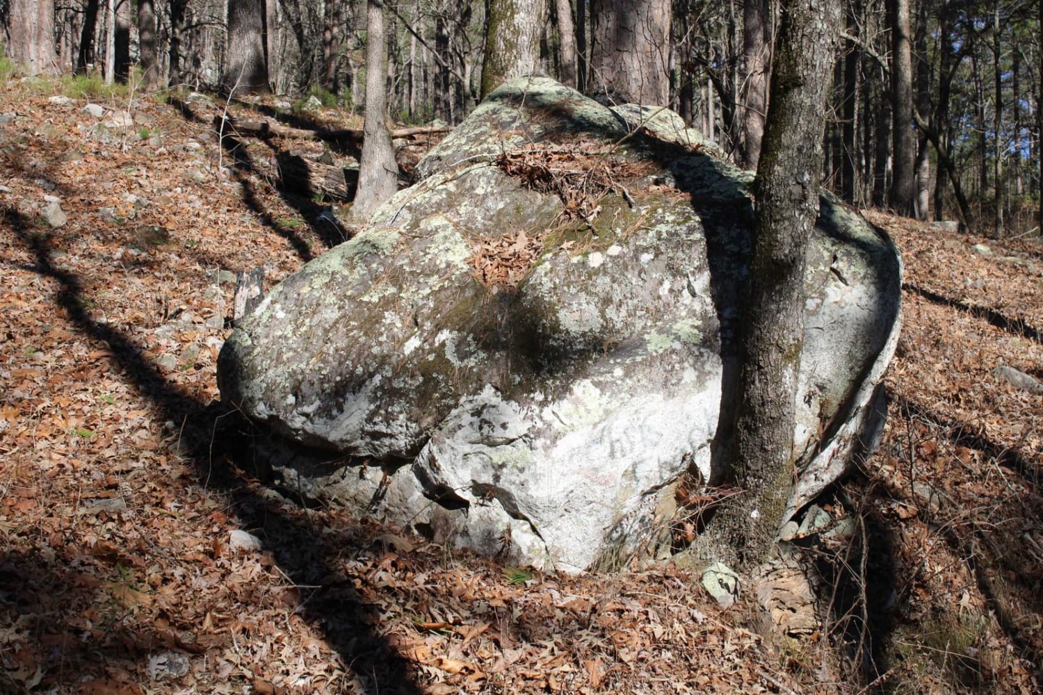
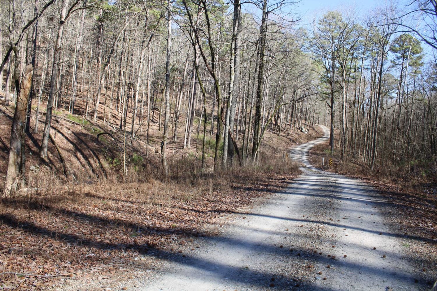
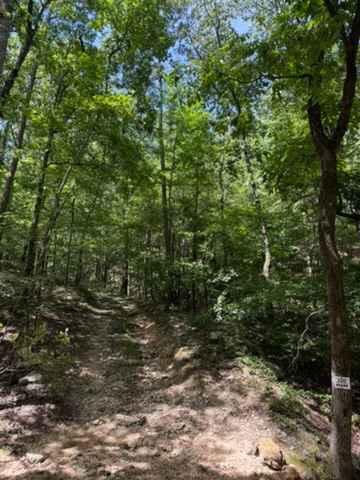
Trail Overview
This is a nice forest road that if headed east, will end at Highway 270. This trail ends at a very nice Group sized, dispersed campsite. East Fork Twin Creek runs alongside this road. There are a few dispersed campsites along this road. Beautiful views are in this area. There are a few side spurs that can be explored as you travel this road.
Photos of Womble Silver
Difficulty
The gravel road that can be a bit muddy if wet, but nothing technical.
Status Reports
Womble Silver can be accessed by the following ride types:
- SUV
Womble Silver Map
Popular Trails

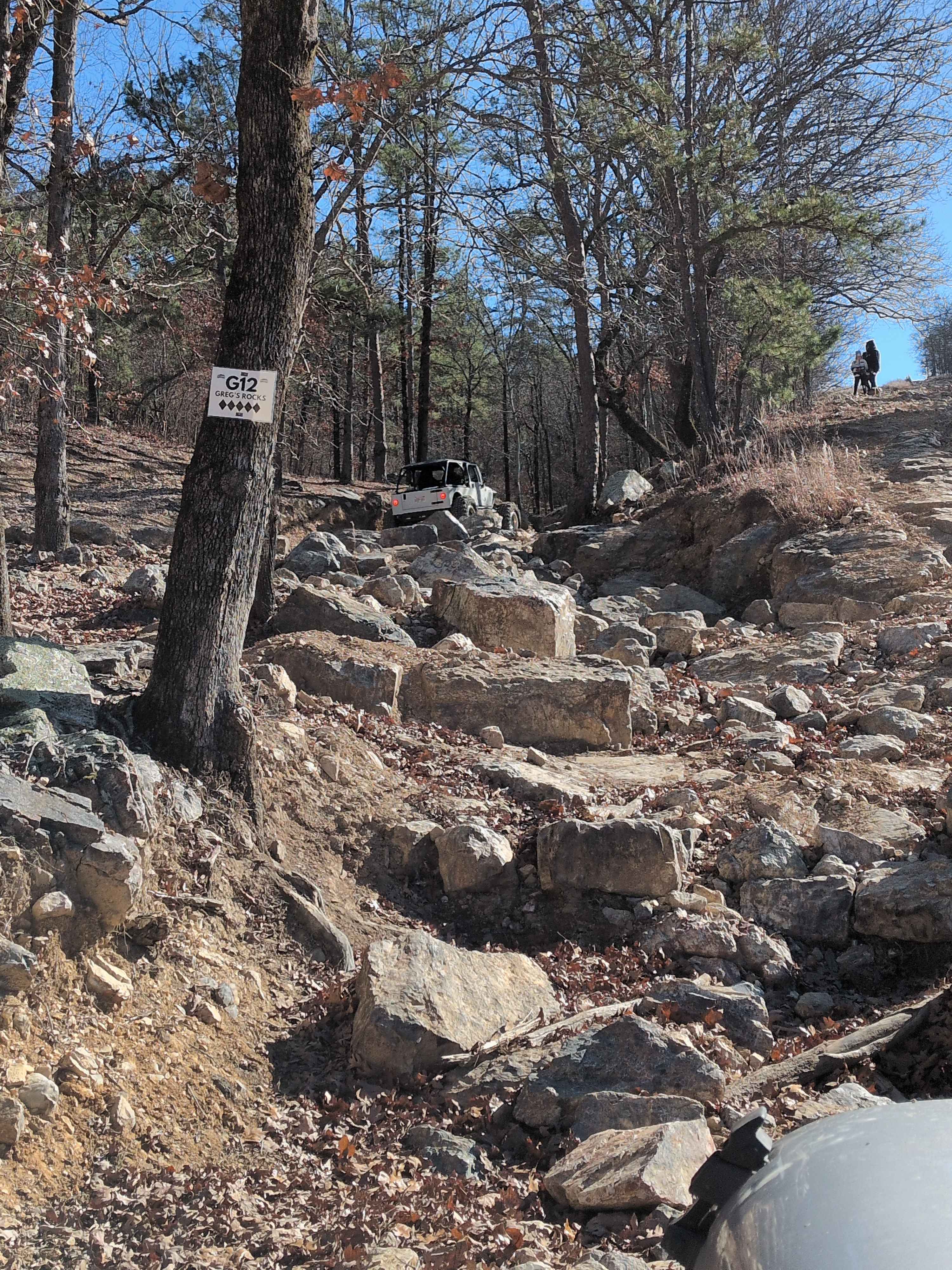
G12 Greg's Rock

Nesbitt Creek Spur - 498
J20 John's & More
The onX Offroad Difference
onX Offroad combines trail photos, descriptions, difficulty ratings, width restrictions, seasonality, and more in a user-friendly interface. Available on all devices, with offline access and full compatibility with CarPlay and Android Auto. Discover what you’re missing today!