Rainey Brake WMA Road
Total Miles
4.8
Technical Rating
Best Time
Summer, Spring, Fall, Winter
Trail Type
Full-Width Road
Accessible By
Trail Overview
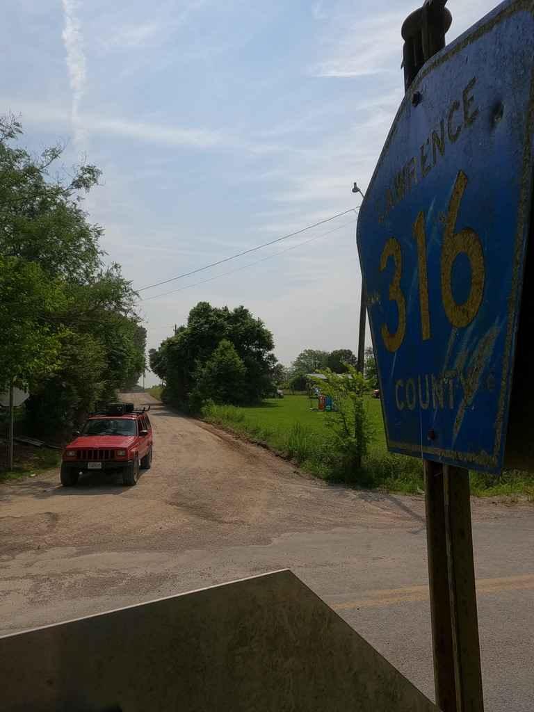
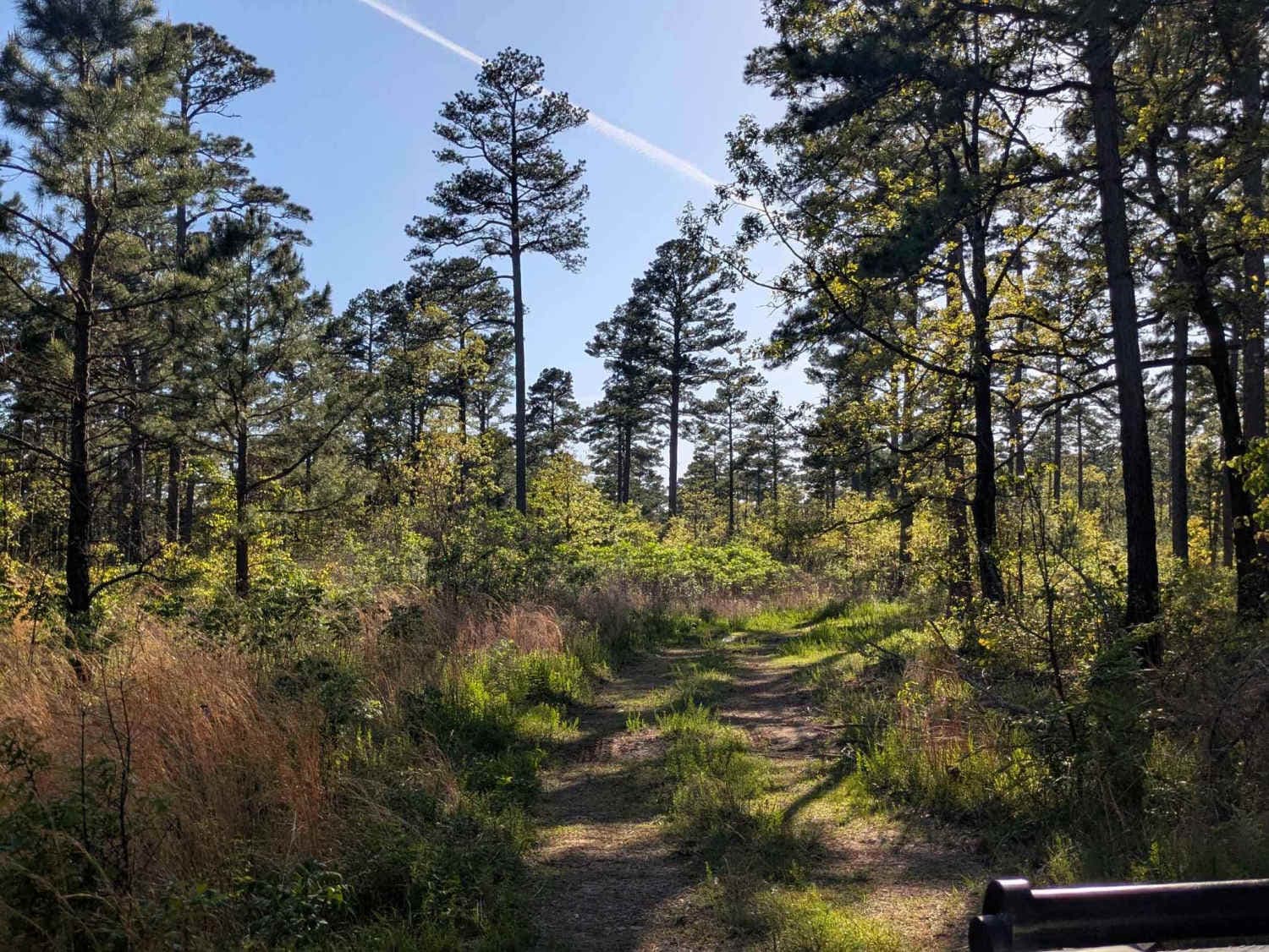
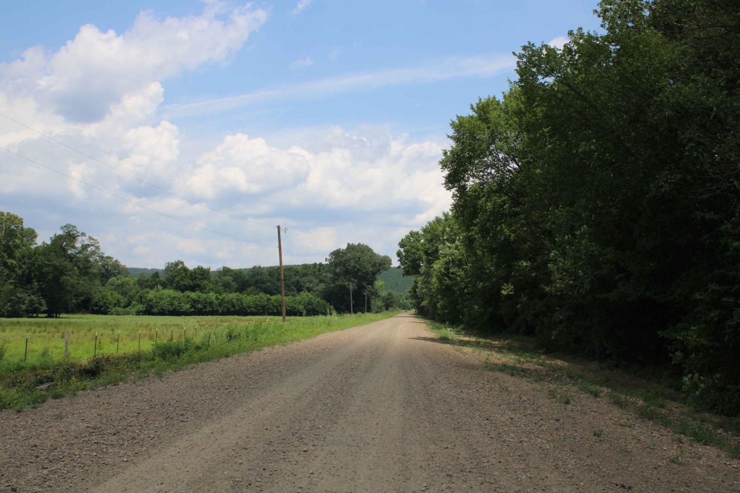
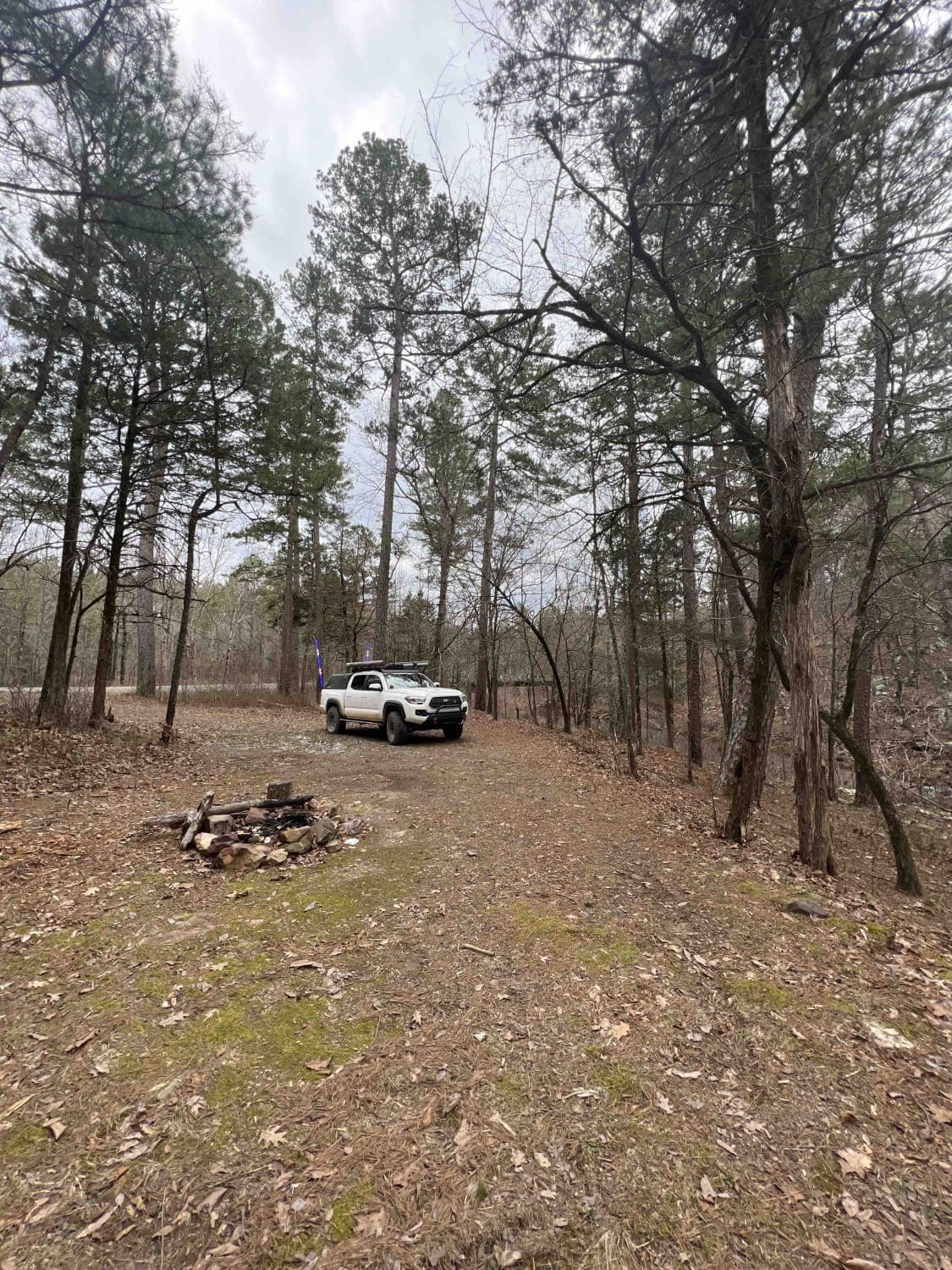
The Rainey Brake WMA Road, or Lawrence Road 316, is a road through the western side of the Shirley Bay Rainey Brake Wildlife Management Area. The road is a casual gravel ride down to and through the swampy lowlands west of the Black River and the bottoms that surround it. The road is generally flat and serves the main purpose of providing access to fish and hunt the lands, or to being one with the nature of the area. There are a few minimal ruts and soft spots in the road along the way, but outside of that, it is an excellent gravel road.
Photos of Rainey Brake WMA Road
Difficulty
The road is a very appropriately maintained road, not perfect, but very far from broken or neglected, there was no signs of spots that flood and have water cover the road, but there was the normal gravel road complications of potholes, washboards, and mounding, and this could be amplified if not maintained, but that appears to not be the case. Given a 1/10 rating due to only having one mild hill climb and generally flat gravel road.
History
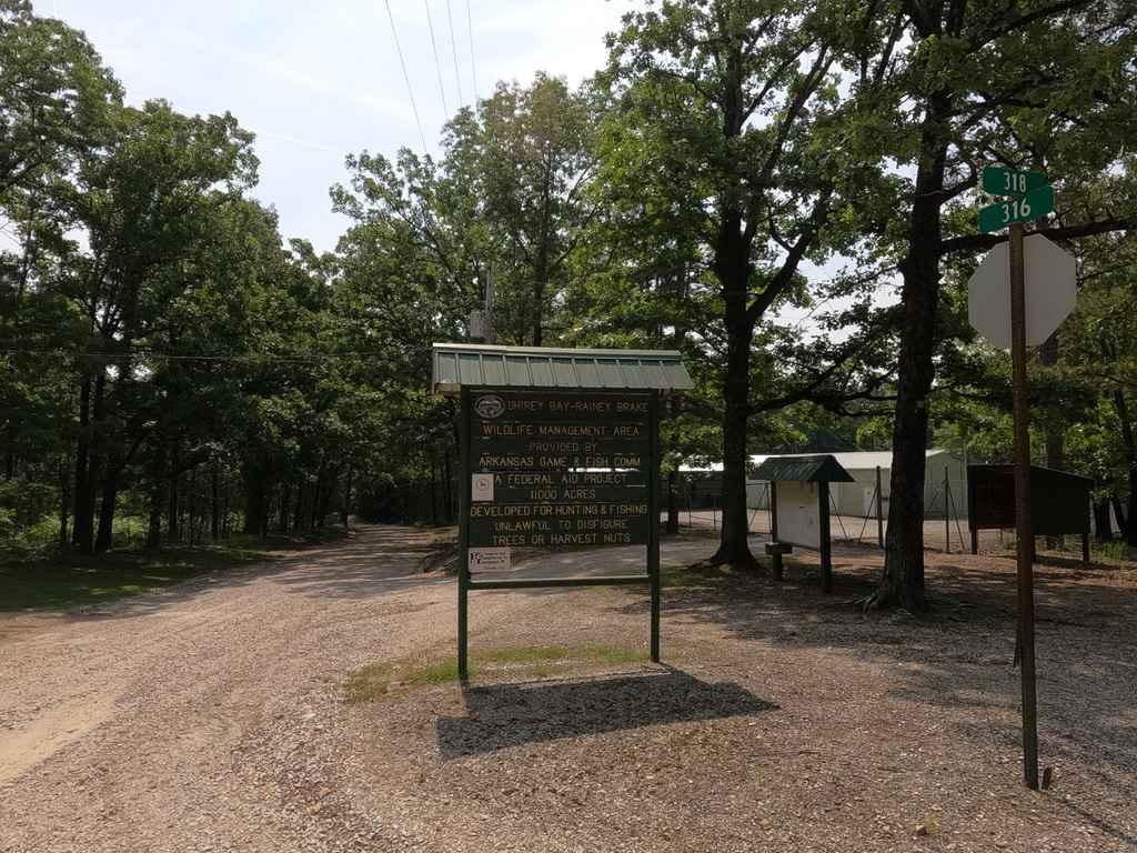
The Shirley Bay Rainey Brake WMA is appropriately named for the two large bodies of water on the area. The east side of the area known as Shirey Bay got its name from an old oxbow off Black River. The Rainey Brake located on the west side is so called due to a large pond or brake, as it is sometimes called. The area consists of 11,308 acres and is divided by the Black River. Approximately 3,000 is on the east side of the Black River adjacent to an oxbow named Shirey Bay, near the community of Portia, in Lawrence County. The remaining 7,000-plus acres are directly across Black River to the west near the community of Lynn in Lawrence County. The western edge of the WMA is in the Ozark Foothills region, but most of the acreage is bottomland hardwood forest. The area was purchased beginning in the early 1950s and continuing through the 1970s. Info provided for by the Arkansas Game and Fish Commission website, via https://www.agfc.com/en/zone-map/762/
Status Reports
Rainey Brake WMA Road can be accessed by the following ride types:
- High-Clearance 4x4
- SUV
Rainey Brake WMA Road Map
Popular Trails

Maui's Hook
Henry Mountain Road
Moss Creek Road
Gladstone Road 11
The onX Offroad Difference
onX Offroad combines trail photos, descriptions, difficulty ratings, width restrictions, seasonality, and more in a user-friendly interface. Available on all devices, with offline access and full compatibility with CarPlay and Android Auto. Discover what you’re missing today!