Q-O Connector
Total Miles
0.8
Technical Rating
Best Time
Spring, Summer, Fall, Winter
Trail Type
50" Trail
Accessible By
Trail Overview
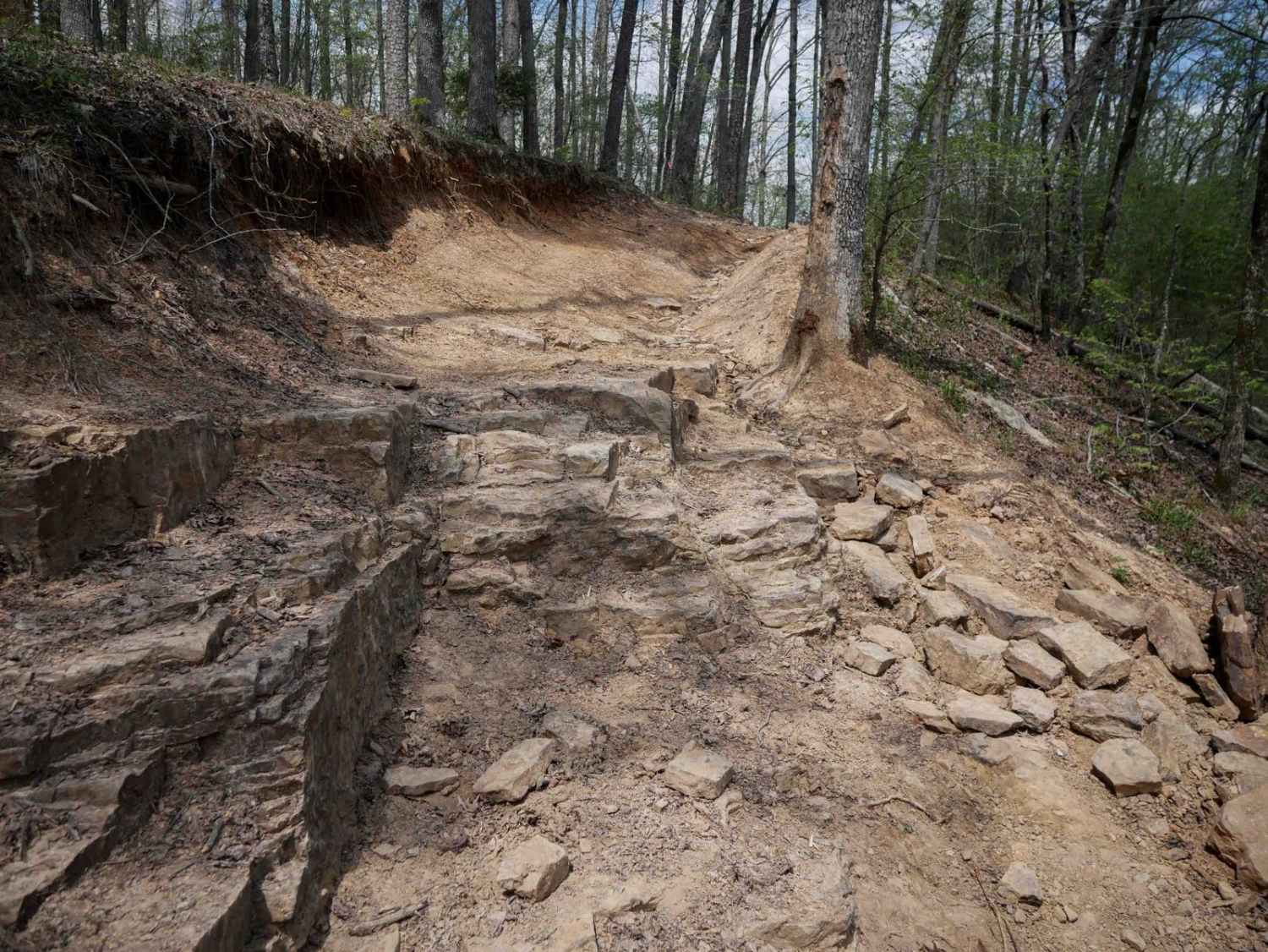
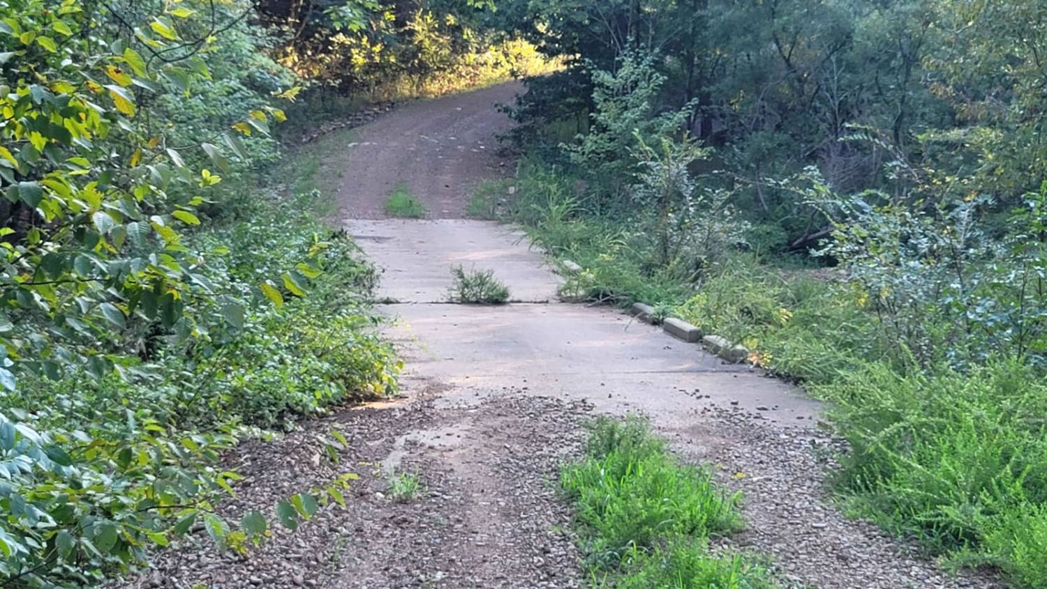
This short but moderately challenging connector between intersections Q and O offers a technical ride as it traverses the sides of the mountains, with sharp curves, and a bigger rock obstacle that will test your technical skills. The trail is shelfy in spots with mild exposure, with deep ruts running down the sides or middle of the trail - ATVs will need to navigate the high points around the ruts. There is a notable rock obstacle that you will go down if riding west to east, that is an off-camber rock ledge on the edge of the trail. It's tricky to square up to on an ATV - you have to first go wide, then hit it straight on. It wraps up with a scenic section above a hollow, descending down to the Moccasin Creek, where it meets the Stave Mills Falls Trail--offering a great view of the creek and waterfall as a rewarding finish.
Photos of Q-O Connector

Difficulty
Most of this trail is a 3 difficulty, but the one technical obstacle makes it a 4, as it has ledges up to 18 inches tall.
Status Reports
Q-O Connector can be accessed by the following ride types:
- ATV (50")
- Dirt Bike
Q-O Connector Map
Popular Trails

Bois d'Ark Arkansas Spillway & Dam


E24 Vertical Challenge
Cumberland Road
The onX Offroad Difference
onX Offroad combines trail photos, descriptions, difficulty ratings, width restrictions, seasonality, and more in a user-friendly interface. Available on all devices, with offline access and full compatibility with CarPlay and Android Auto. Discover what you’re missing today!