Lake Sylvia to Winona Lake and HWY9
Total Miles
18.5
Technical Rating
Best Time
Spring, Fall, Winter
Trail Type
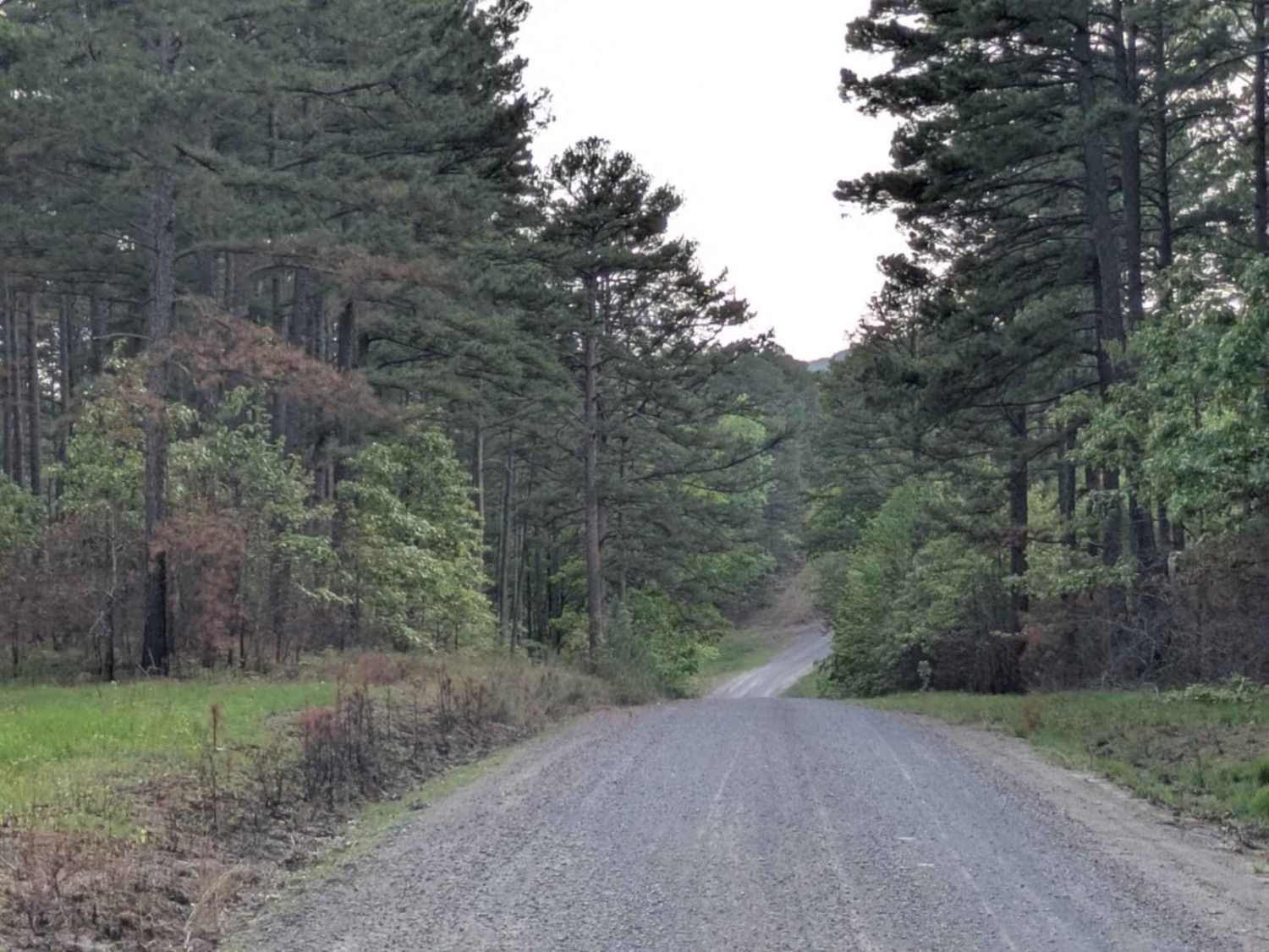
Full-Width Road
Accessible By
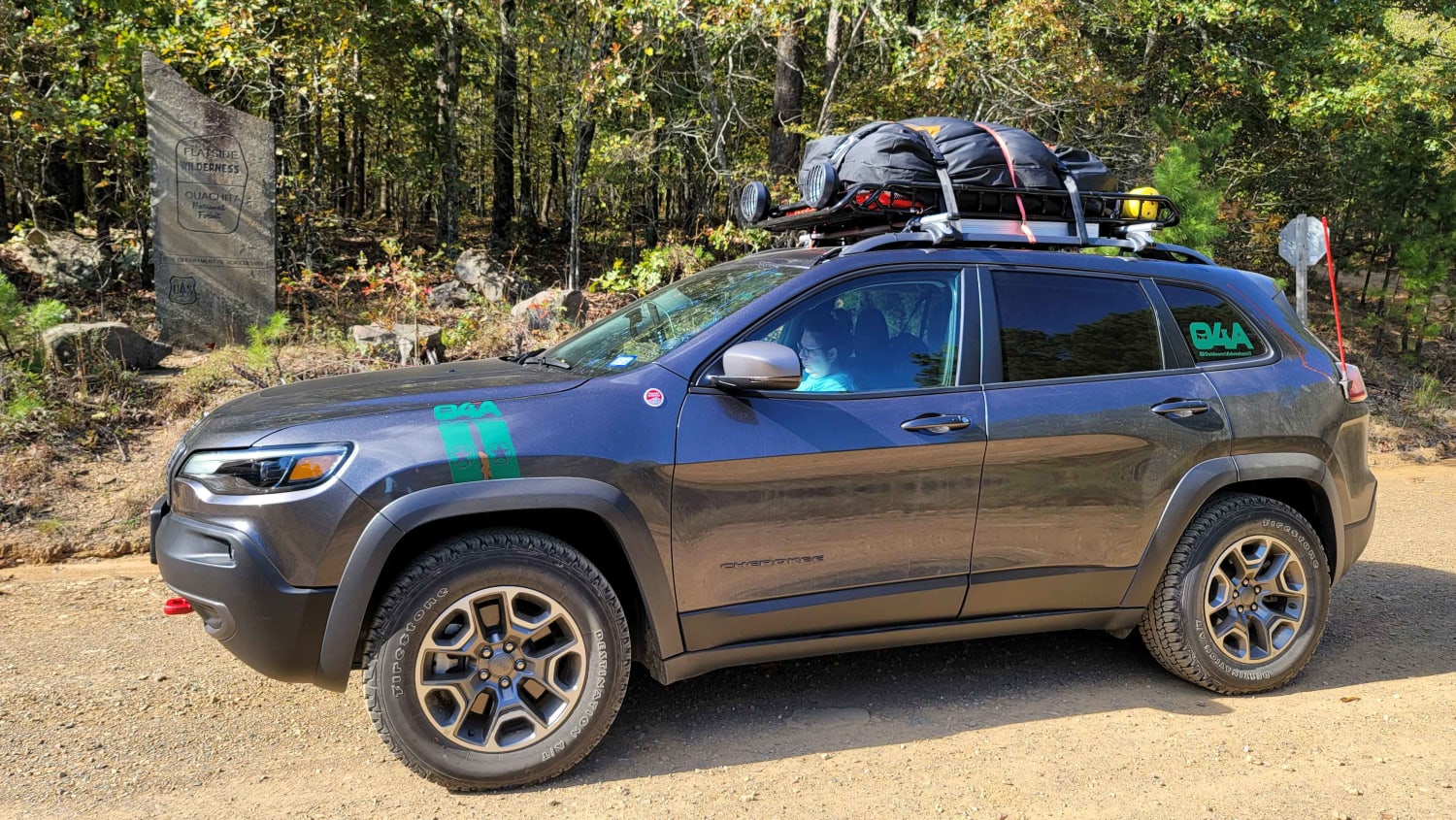
Trail Overview
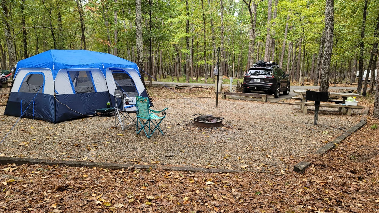
This trail starts at Lake Sylvia State Park where camping, swimming and water/electric sites are available if needed. Its a great place to explore. After leaving Lake Sylvia this route takes you to LAKE WINONA (you will see the intersection where you can pick up a rule pamphlet and turn right to Winona) but this route goes straight to hwy 9 where you can go back to Lake Sylvia or head elsewhere.
Photos of Lake Sylvia to Winona Lake and HWY9
Difficulty
Some inclines and rough road but nothing technical. All gravel roads vary in type. Can be loose, wet, muddy and single lane areas make passing difficult. Remember where the wide spots are.
History
Lake Sylvia Recreation Area is nestled between scenic pine and oak-clad mountains in the northeast corner of the Ouachita National Forest. The serene 18-acre lake is noted for its swimming and fishing opportunities only 38 miles west of Little Rock. The trail system offers visitors an opportunity to hike, enjoy an easy nature walk, connect with the Ouachita National Recreation Trail for a backpacking experience, go trail running or gravel grinding. There is also a swimming beach, bathhouses, and picnic sites. Interpretive programming is offered.The park has 14 campsites with water and electricity ($25 per night), 8 primitive sites ($15 per night), seven camper cabins with bathrooms, and two group tent camping sites ($35 per night). Campsites are first-come, first-serve and there is a self-pay station (cash only).
Status Reports
Lake Sylvia to Winona Lake and HWY9 can be accessed by the following ride types:
- High-Clearance 4x4
- SUV
Lake Sylvia to Winona Lake and HWY9 Map
Popular Trails

C8 Back Porch
Scott Henderson Gulf Mountain WMA Access Road

H13 Rock & A Hard Spot

The onX Offroad Difference
onX Offroad combines trail photos, descriptions, difficulty ratings, width restrictions, seasonality, and more in a user-friendly interface. Available on all devices, with offline access and full compatibility with CarPlay and Android Auto. Discover what you’re missing today!