Pet Rock Road
Total Miles
1.3
Technical Rating
Best Time
Spring, Fall
Trail Type
60" Trail
Accessible By
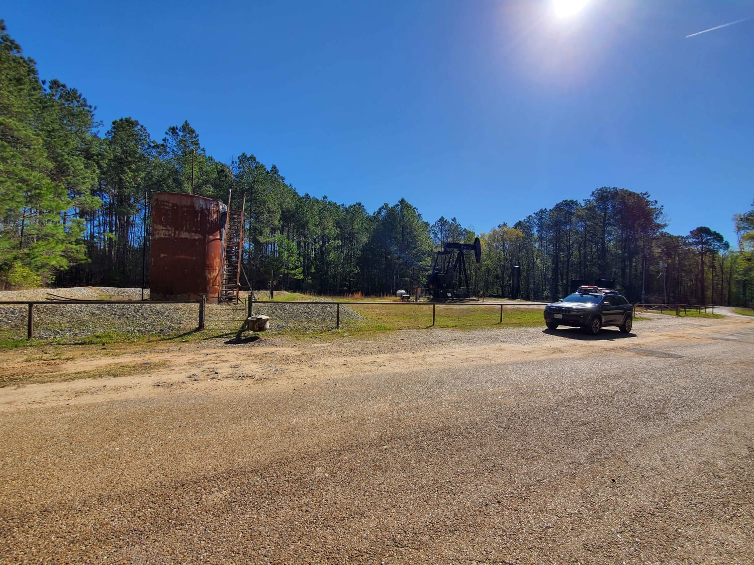
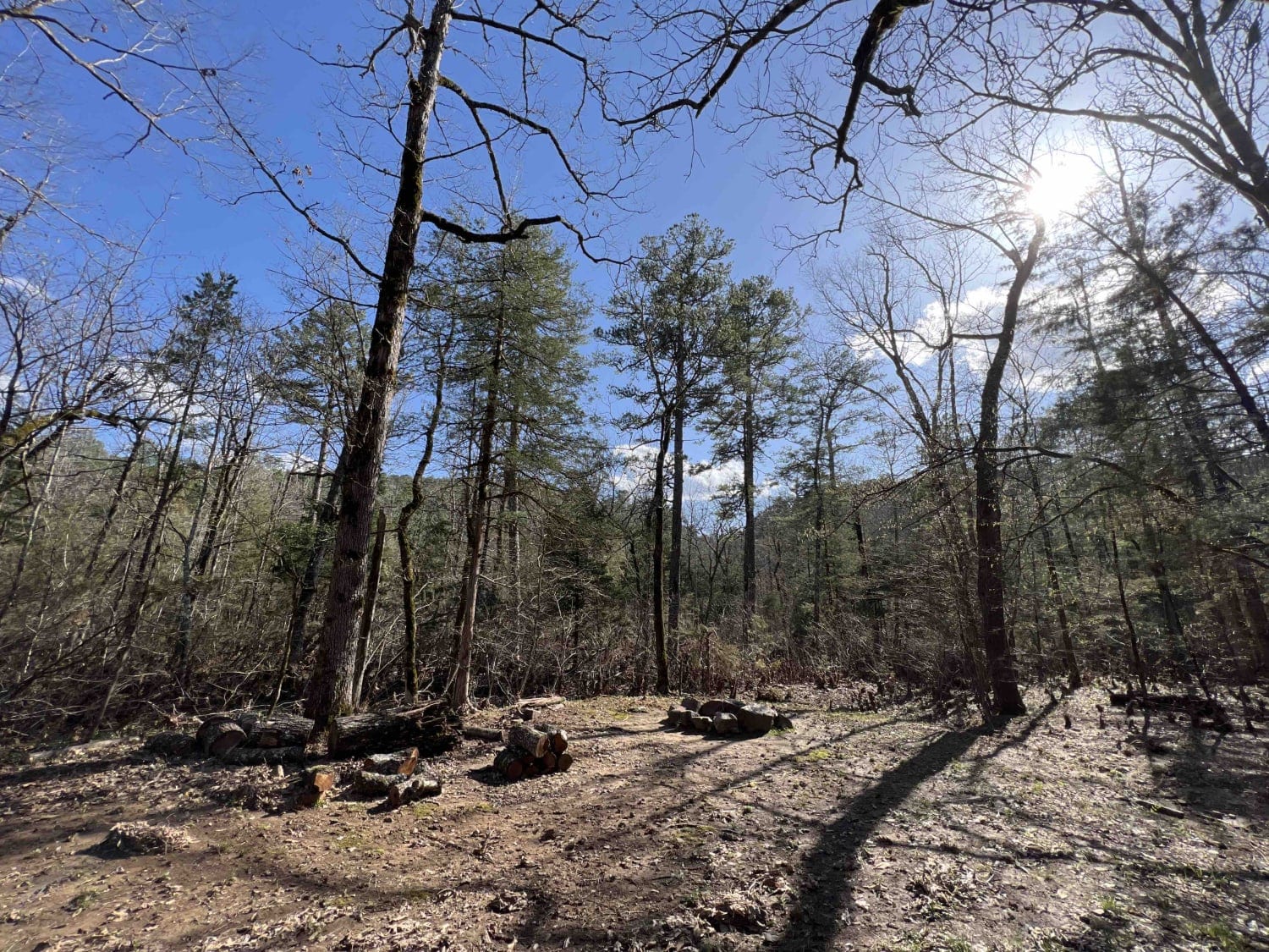
Trail Overview
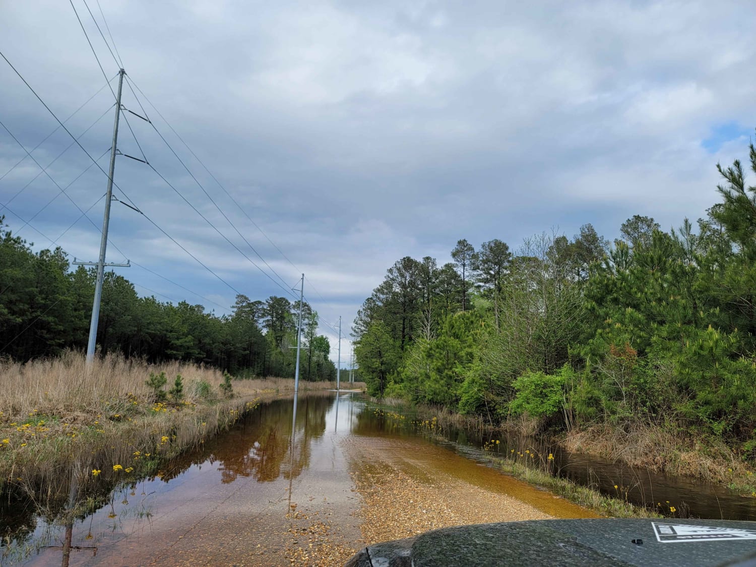
Near the eastern entrance, there is a large rock that's good for pictures. There is a very deep water hole toward the western end of the trail. This is the perimeter road of the park. The dirt bike single track crosses this trail several times. Dirt bikes have the right of way; yield to dirt bikes. Do not enter the single track with an ATV or SxS. Stay out of and off the deer blinds and stay on the trail.
Photos of Pet Rock Road


Difficulty
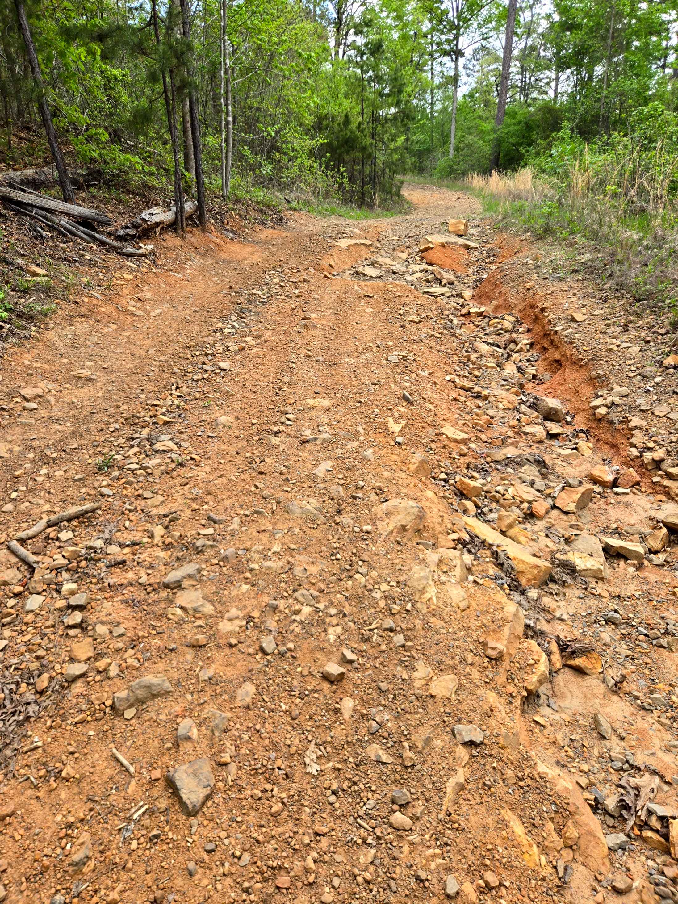
Expect lots of rocks, dips, and a good hill climb. It's off-camber in some spots.
Status Reports
Pet Rock Road can be accessed by the following ride types:
- SxS (60")
- ATV (50")
- Dirt Bike
Pet Rock Road Map
Popular Trails
The Arkansas Overland Route - Section 12 - Dead End but Fresh Beginning
The Arkansas Overland Route - Section 1 - Falcon Bottoms Back Roads
West Gafford 776
The onX Offroad Difference
onX Offroad combines trail photos, descriptions, difficulty ratings, width restrictions, seasonality, and more in a user-friendly interface. Available on all devices, with offline access and full compatibility with CarPlay and Android Auto. Discover what you’re missing today!