Off-Road Trails in Arkansas
Discover off-road trails in Arkansas
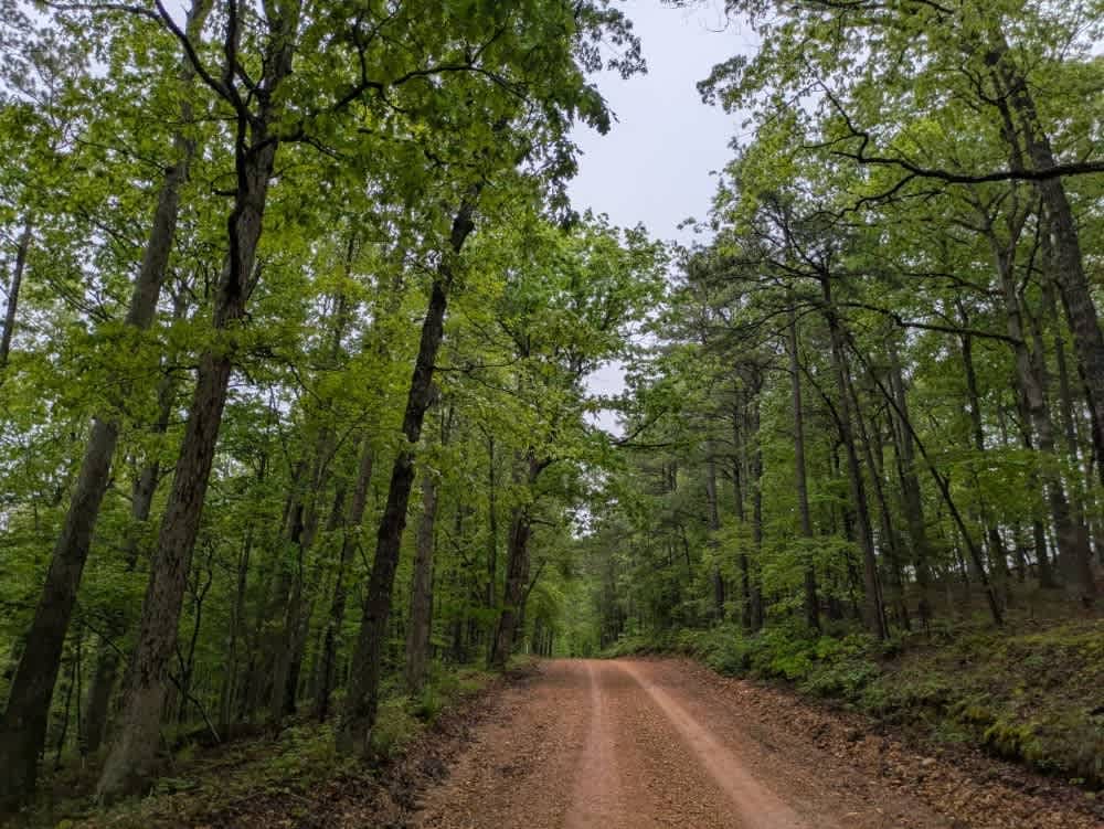
Learn more about Jakes Creek Road
Jakes Creek Road
Total Miles
9.4
Tech Rating
Easy
Best Time
Summer, Spring, Fall, Winter
Learn more about Johnson Creek Road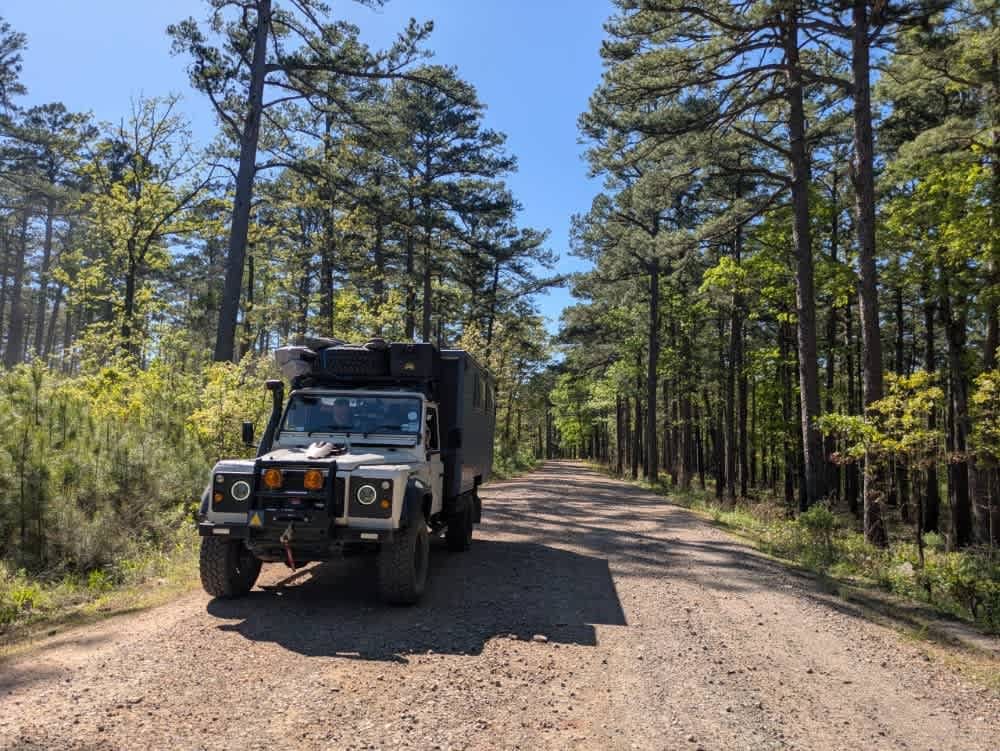
Johnson Creek Road
Total Miles
8.5
Tech Rating
Easy
Best Time
Fall, Winter, Spring, Summer
Learn more about Jones Camp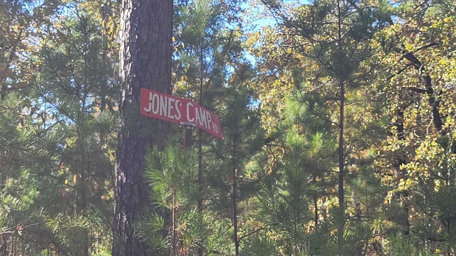
Jones Camp
Total Miles
4.1
Tech Rating
Easy
Best Time
Spring, Summer, Fall, Winter
Learn more about Jones Creek Road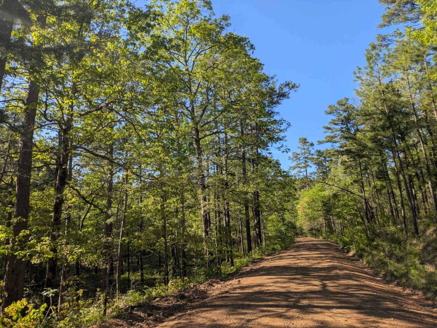
Jones Creek Road
Total Miles
3.8
Tech Rating
Easy
Best Time
Spring, Fall, Winter, Summer
Learn more about K5 Get Wired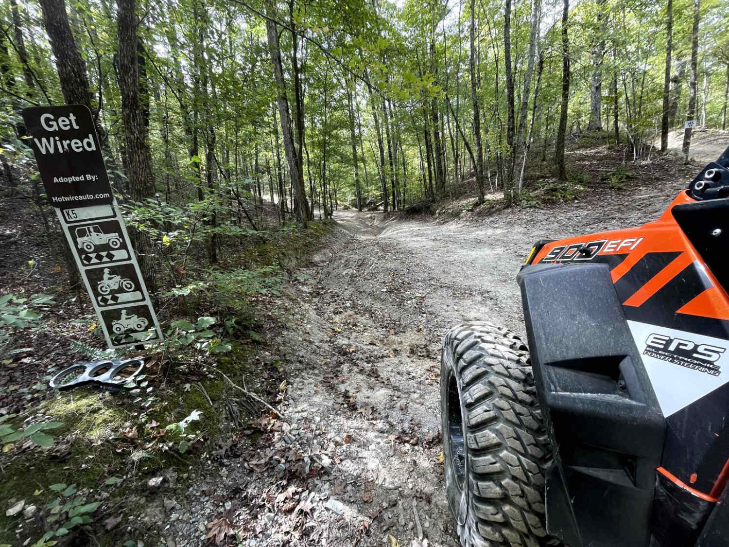
K5 Get Wired
Total Miles
0.3
Tech Rating
Moderate
Best Time
Spring, Summer, Fall
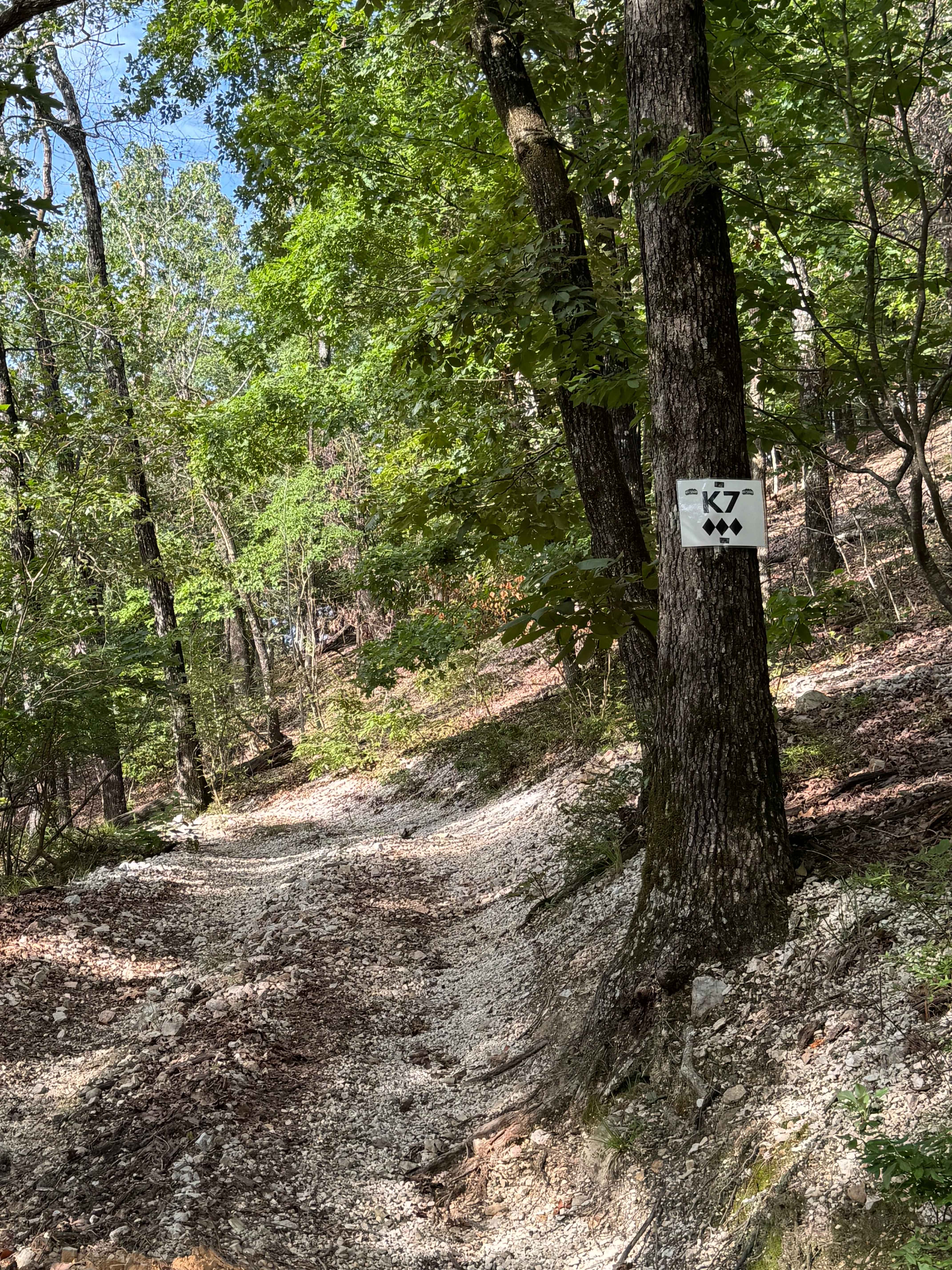
Learn more about K6 Jaag'd Edge
K6 Jaag'd Edge
Total Miles
0.5
Tech Rating
Moderate
Best Time
Spring, Summer, Fall, Winter
Learn more about Kai Connector
Kai Connector
Total Miles
0.1
Tech Rating
Easy
Best Time
Spring, Summer, Fall, Winter
Learn more about Kane's Spring
Kane's Spring
Total Miles
0.2
Tech Rating
Moderate
Best Time
Spring, Summer, Fall, Winter
Learn more about Kauai Lane
Kauai Lane
Total Miles
0.5
Tech Rating
Easy
Best Time
Spring, Fall, Summer, Winter
Learn more about Keola Run
Keola Run
Total Miles
2.0
Tech Rating
Moderate
Best Time
Spring, Summer, Fall, Winter
Learn more about Kingston Road (156C) 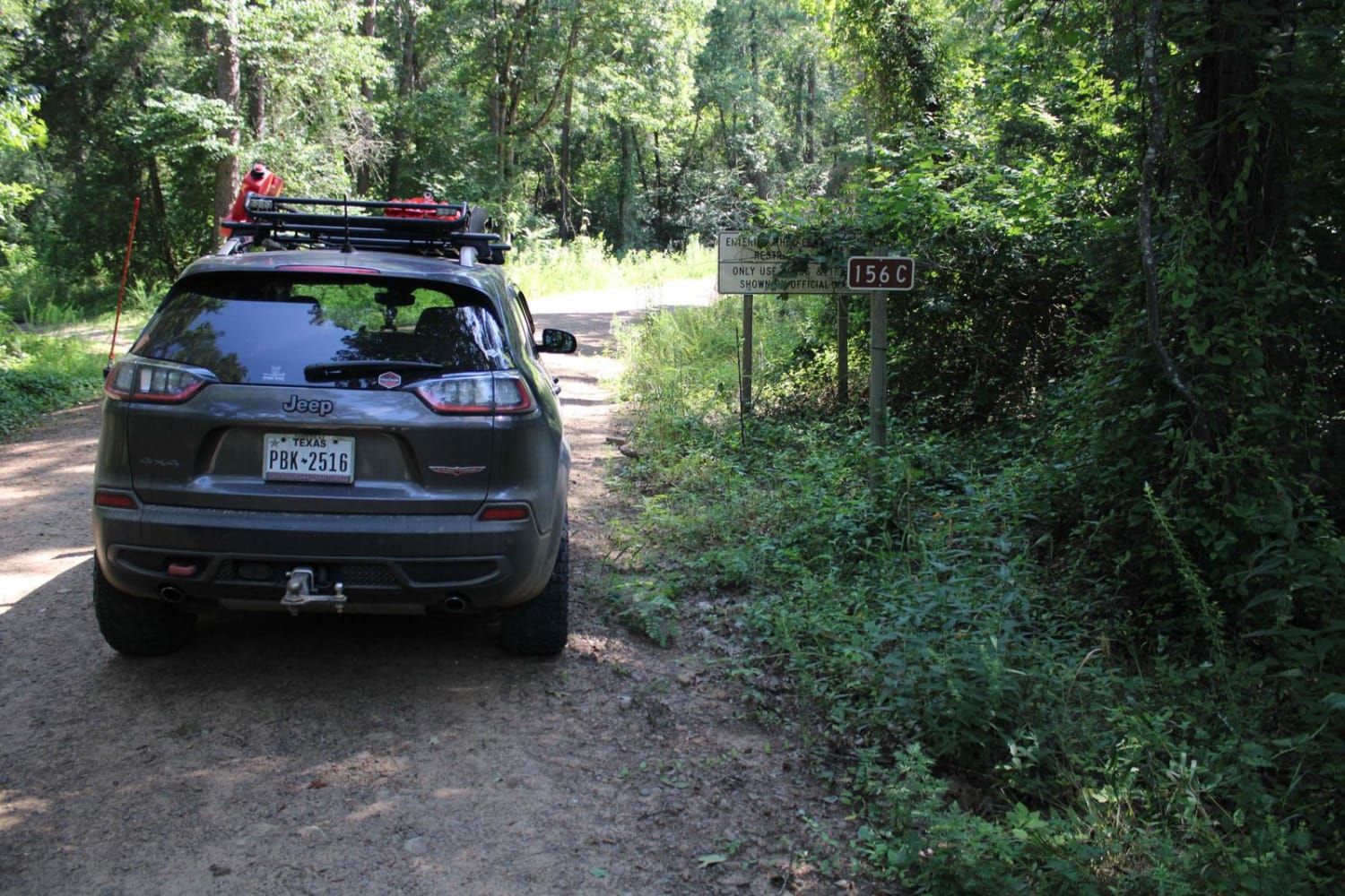
Kingston Road (156C)
Total Miles
4.5
Tech Rating
Easy
Best Time
Spring, Summer, Fall, Winter
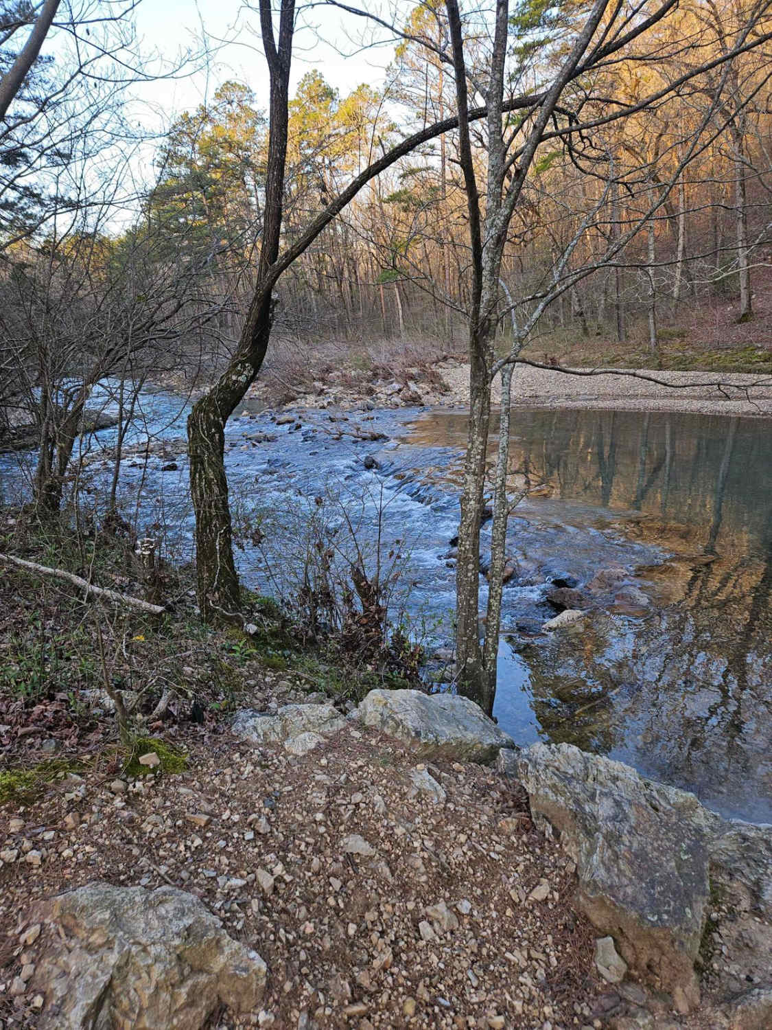
Learn more about Knoppers Ford 
Knoppers Ford
Total Miles
7.7
Tech Rating
Easy
Best Time
Spring, Summer, Fall, Winter
Learn more about Koa Trail
Koa Trail
Total Miles
0.3
Tech Rating
Moderate
Best Time
Spring, Summer, Fall, Winter
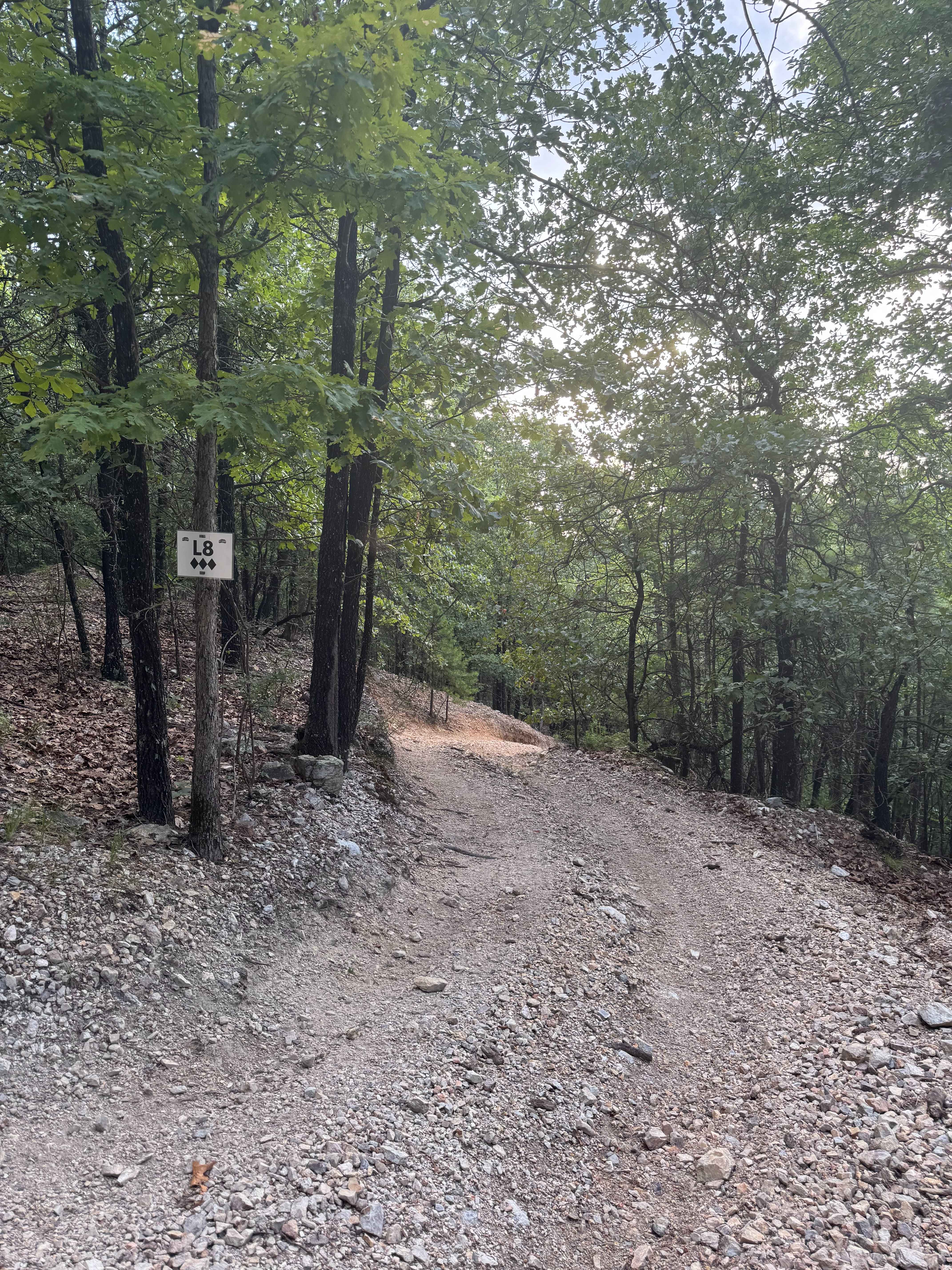
Learn more about L5 Fox Run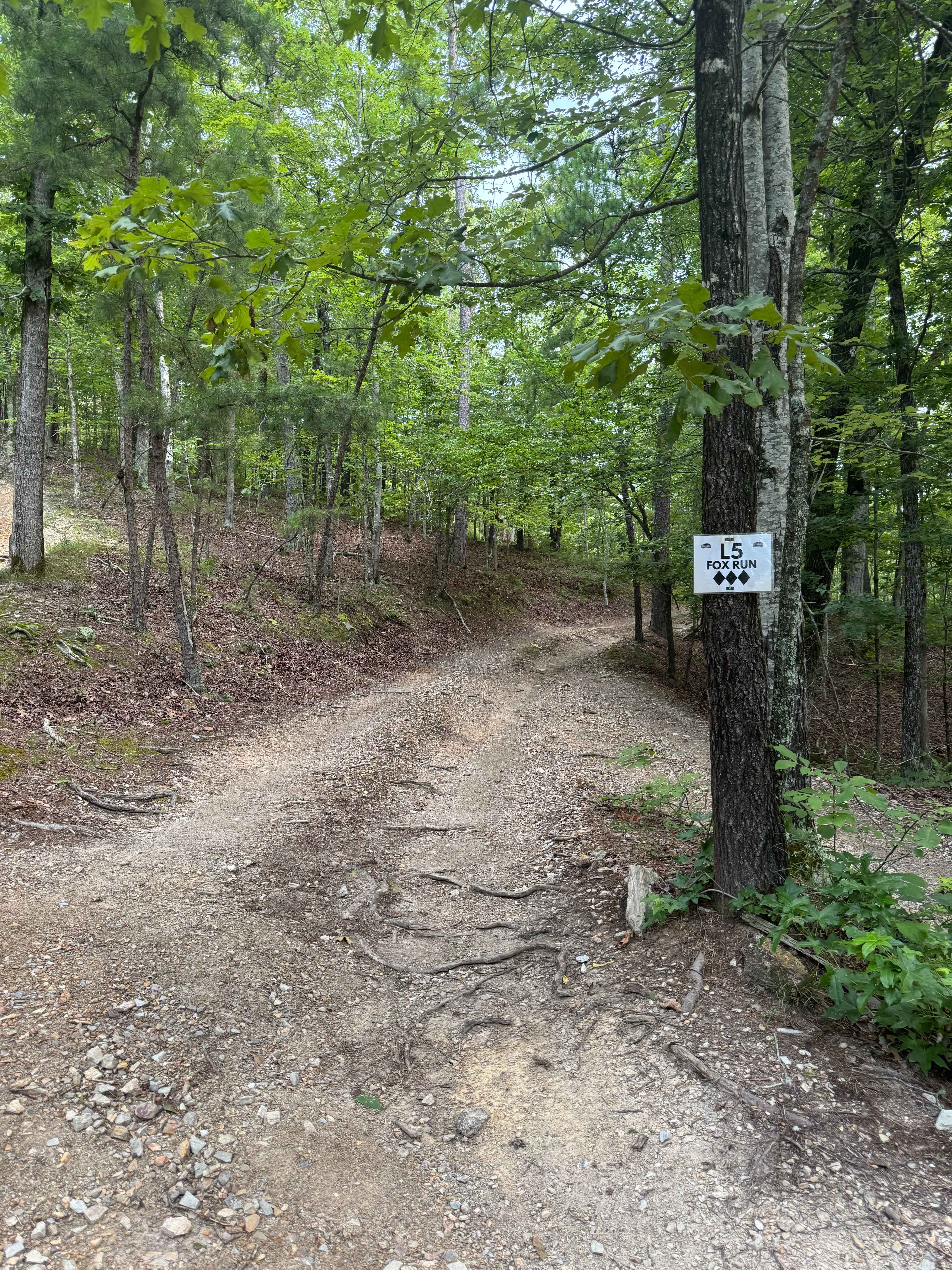
L5 Fox Run
Total Miles
0.3
Tech Rating
Moderate
Best Time
Spring, Summer, Fall, Winter
ATV trails in Arkansas
Learn more about 1101 Road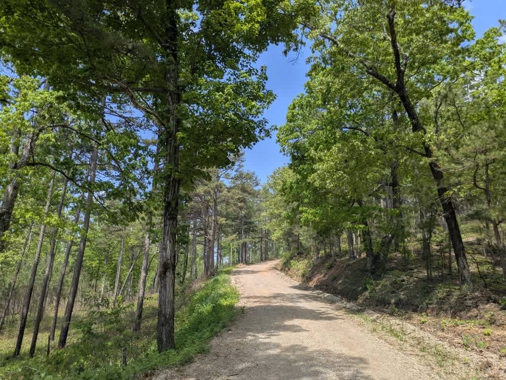
1101 Road
Total Miles
8.7
Tech Rating
Easy
Best Time
Summer, Winter, Fall, Spring
UTV/side-by-side trails in Arkansas
Learn more about 1101 Road
1101 Road
Total Miles
8.7
Tech Rating
Easy
Best Time
Summer, Winter, Fall, Spring
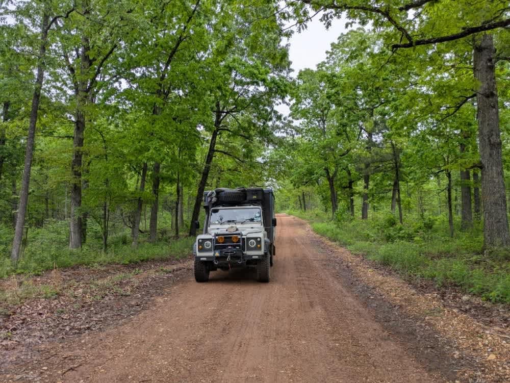
The onX Offroad Difference
onX Offroad combines trail photos, descriptions, difficulty ratings, width restrictions, seasonality, and more in a user-friendly interface. Available on all devices, with offline access and full compatibility with CarPlay and Android Auto. Discover what you’re missing today!