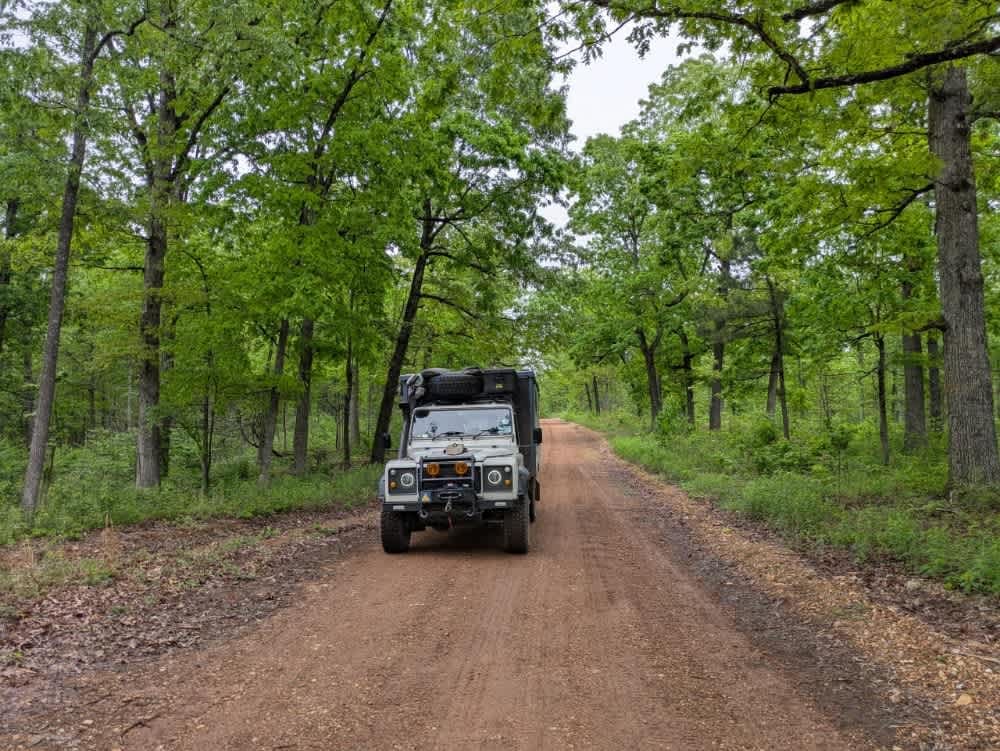
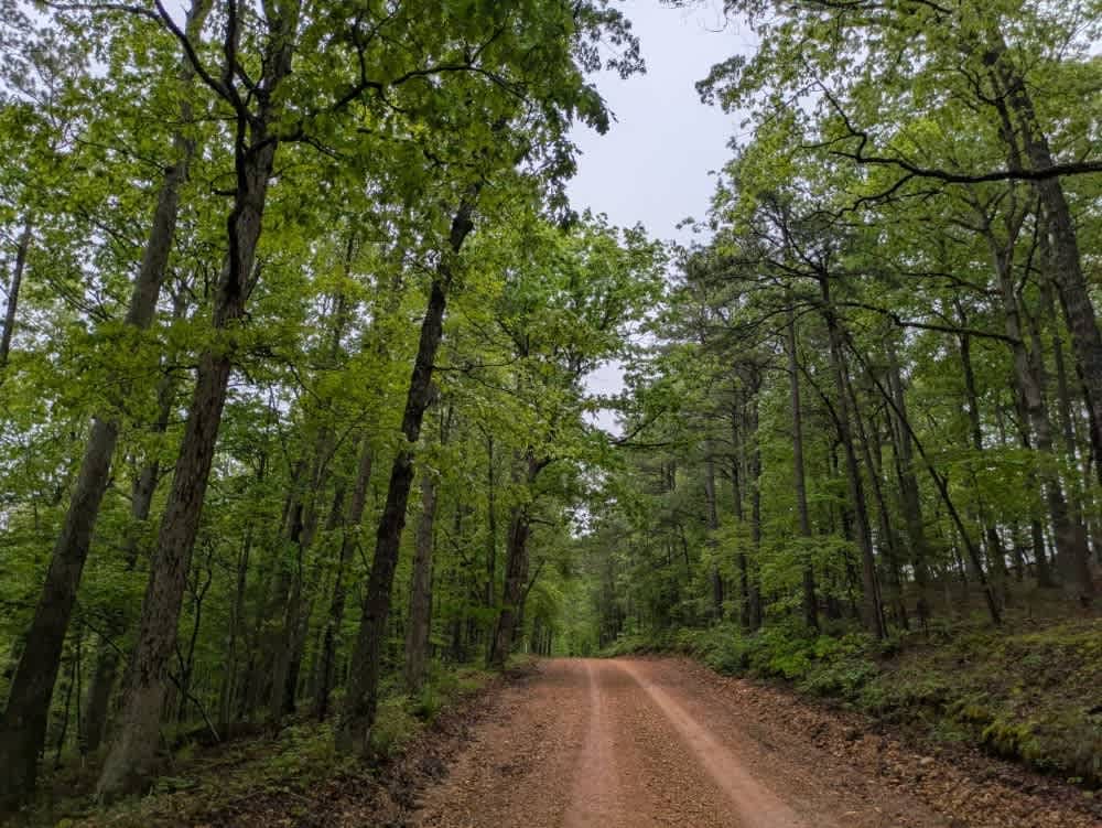
Off-Road Trails in Arkansas
Discover off-road trails in Arkansas
Learn more about G8/G9 Pipeline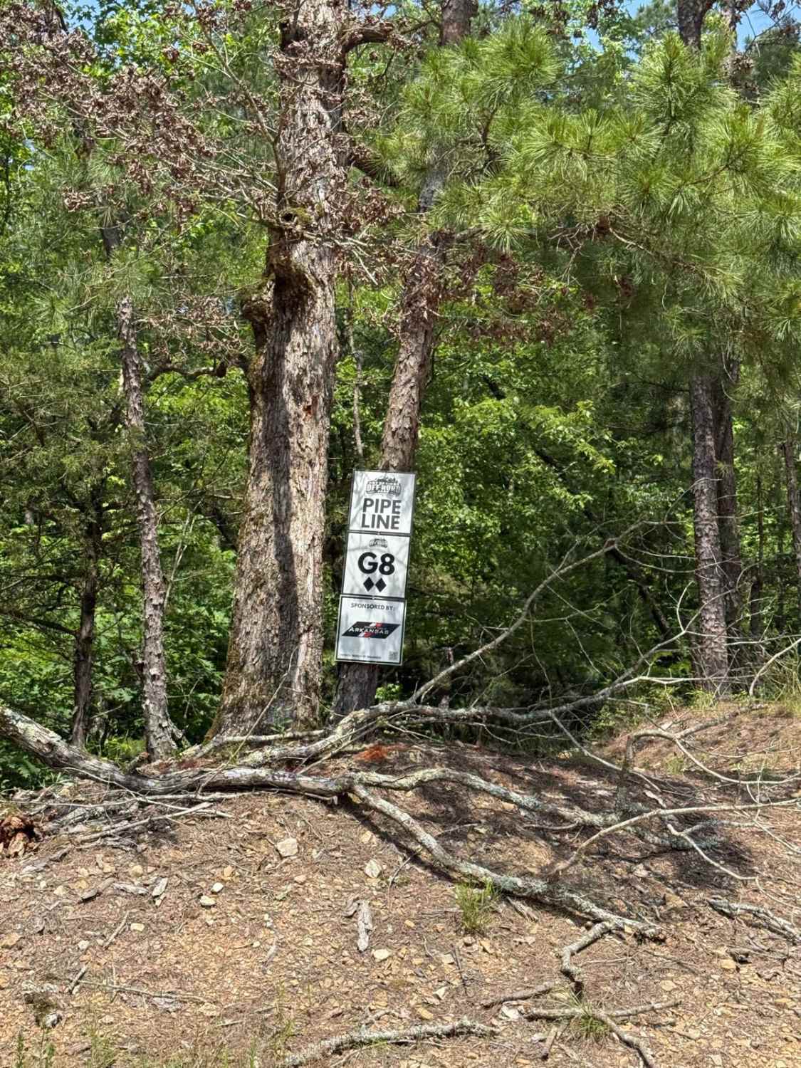
G8/G9 Pipeline
Total Miles
0.4
Tech Rating
Moderate
Best Time
Spring, Summer, Fall, Winter
Learn more about Gafford Creek 519
Gafford Creek 519
Total Miles
8.9
Tech Rating
Easy
Best Time
Spring, Fall, Winter
Learn more about Gap Hollow Loop
Gap Hollow Loop
Total Miles
5.0
Tech Rating
Moderate
Best Time
Spring, Summer, Fall, Winter
Learn more about Gap Hollow Spur South 1
Gap Hollow Spur South 1
Total Miles
1.2
Tech Rating
Easy
Best Time
Spring, Summer, Fall, Winter
Learn more about Gap Hollow Spur South 2
Gap Hollow Spur South 2
Total Miles
0.8
Tech Rating
Moderate
Best Time
Spring, Summer, Fall, Winter
Learn more about Gap Hollow Spur West
Gap Hollow Spur West
Total Miles
0.4
Tech Rating
Moderate
Best Time
Spring, Summer, Fall, Winter
Learn more about Gillham Dam And Cossatot Reefs Campground
Gillham Dam And Cossatot Reefs Campground
Total Miles
6.7
Tech Rating
Easy
Best Time
Spring, Summer, Fall, Winter
Learn more about Gillham Lake Road
Gillham Lake Road
Total Miles
5.6
Tech Rating
Easy
Best Time
Spring, Summer, Fall, Winter
Learn more about Girard Road to Sugar Creek Multi Use Trails
Girard Road to Sugar Creek Multi Use Trails
Total Miles
5.9
Tech Rating
Easy
Best Time
Spring, Summer, Fall, Winter
Learn more about Girard Road to White Oak Road
Girard Road to White Oak Road
Total Miles
4.7
Tech Rating
Easy
Best Time
Spring, Summer, Fall, Winter
Learn more about Gladstone Road 11
Gladstone Road 11
Total Miles
10.5
Tech Rating
Easy
Best Time
Spring, Summer, Fall, Winter
Learn more about Graham Road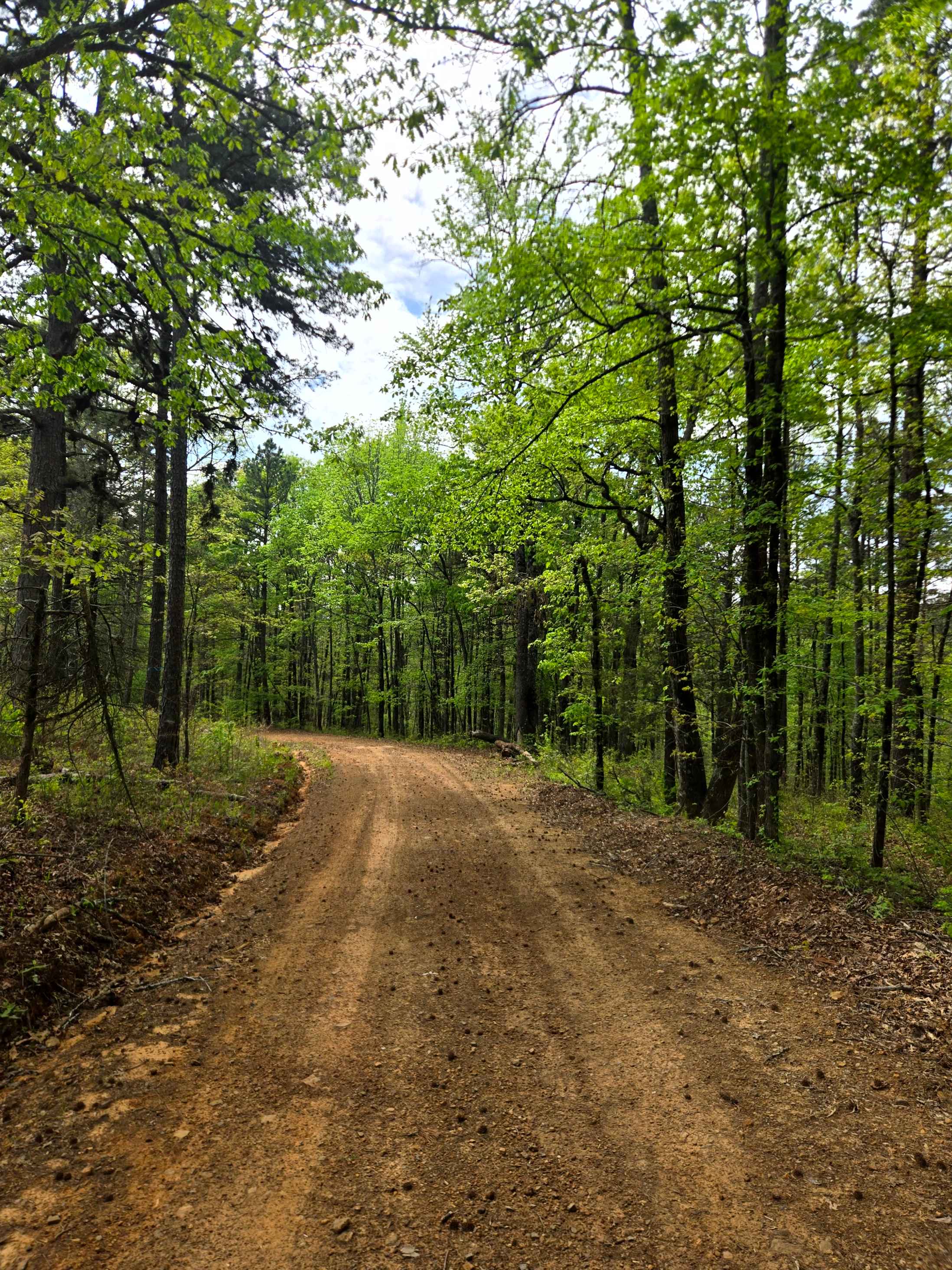
Graham Road
Total Miles
1.8
Tech Rating
Easy
Best Time
Spring, Summer, Fall, Winter
Learn more about Grandmother's House
Grandmother's House
Total Miles
0.2
Tech Rating
Moderate
Best Time
Spring, Summer, Fall, Winter
Learn more about Grassy Point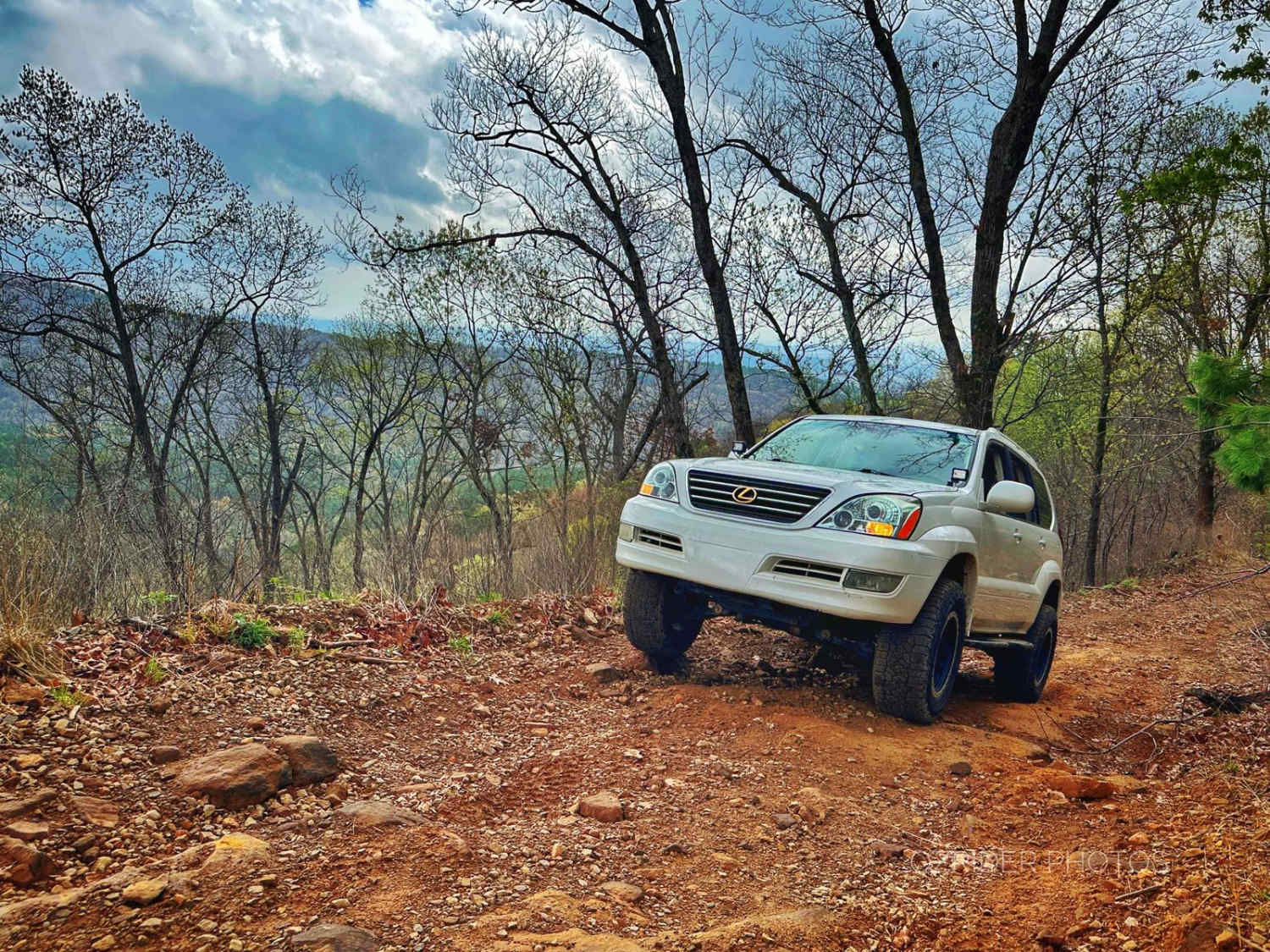
Grassy Point
Total Miles
5.7
Tech Rating
Easy
Best Time
Spring, Summer, Fall, Winter

Learn more about Green Bench Road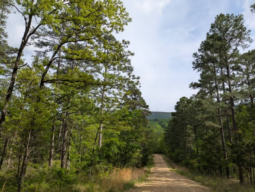
Green Bench Road
Total Miles
7.5
Tech Rating
Easy
Best Time
Fall, Summer, Spring, Winter
Learn more about Gunner Pool Road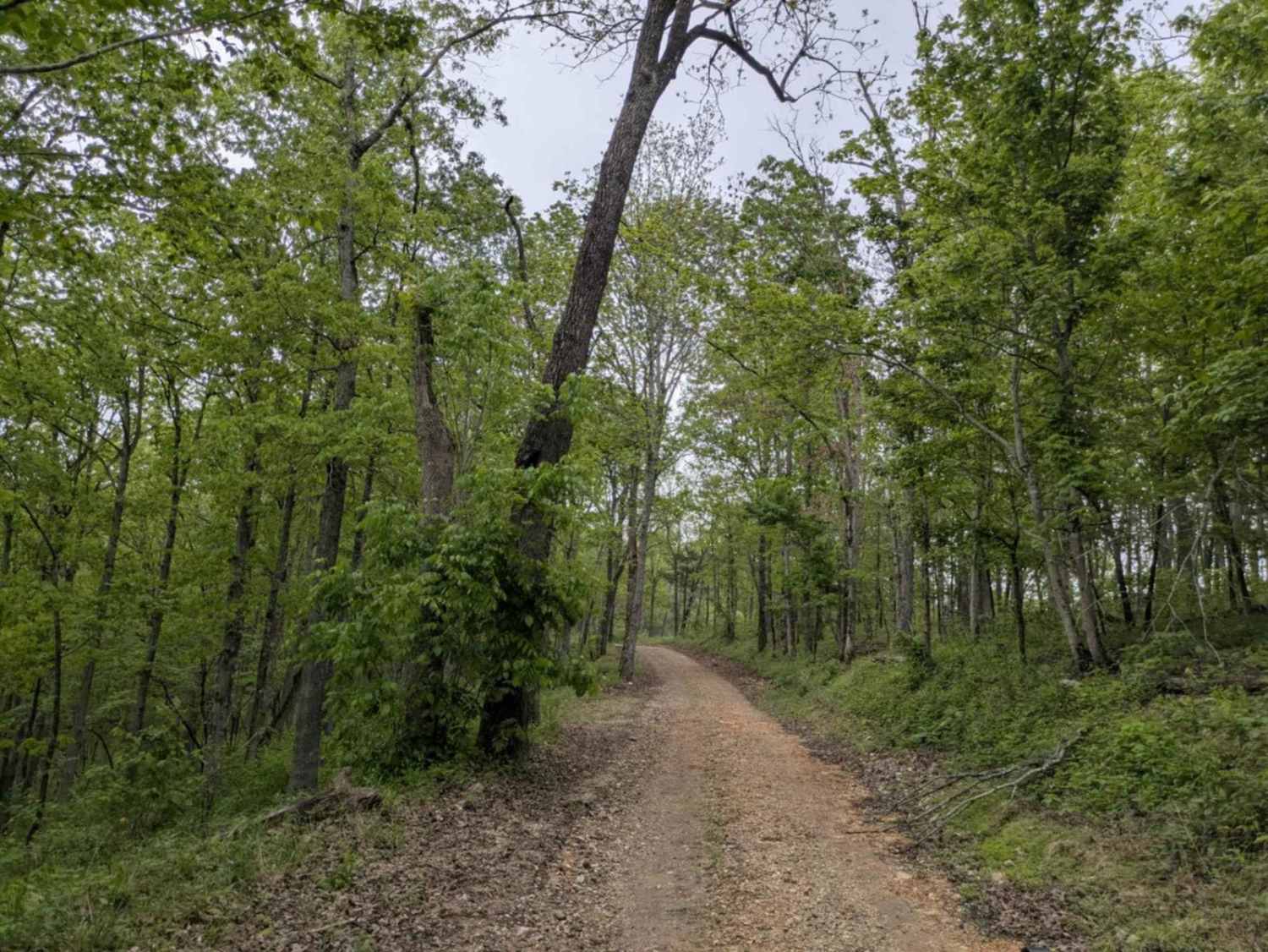
Gunner Pool Road
Total Miles
2.8
Tech Rating
Easy
Best Time
Spring, Summer, Fall, Winter
Learn more about H13 Rock & A Hard Spot
H13 Rock & A Hard Spot
Total Miles
0.1
Tech Rating
Extreme
Best Time
Spring, Summer, Fall, Winter
Learn more about H14 The Shoot
H14 The Shoot
Total Miles
0.1
Tech Rating
Moderate
Best Time
Spring, Summer, Fall, Winter
ATV trails in Arkansas
Learn more about 1101 Road
1101 Road
Total Miles
8.7
Tech Rating
Easy
Best Time
Summer, Winter, Fall, Spring
UTV/side-by-side trails in Arkansas
Learn more about 1101 Road
1101 Road
Total Miles
8.7
Tech Rating
Easy
Best Time
Summer, Winter, Fall, Spring
The onX Offroad Difference
onX Offroad combines trail photos, descriptions, difficulty ratings, width restrictions, seasonality, and more in a user-friendly interface. Available on all devices, with offline access and full compatibility with CarPlay and Android Auto. Discover what you’re missing today!