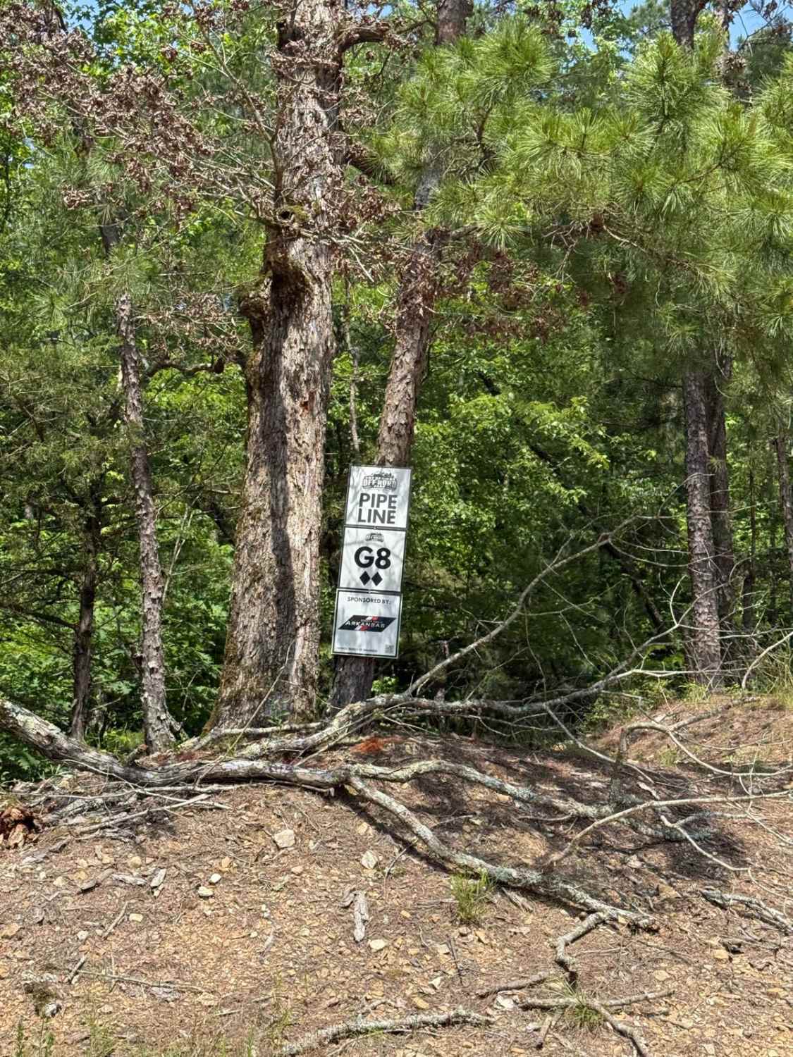
G8/G9 Pipeline
Total Miles
0.4
Technical Rating
Best Time
Spring, Summer, Fall, Winter
Trail Type
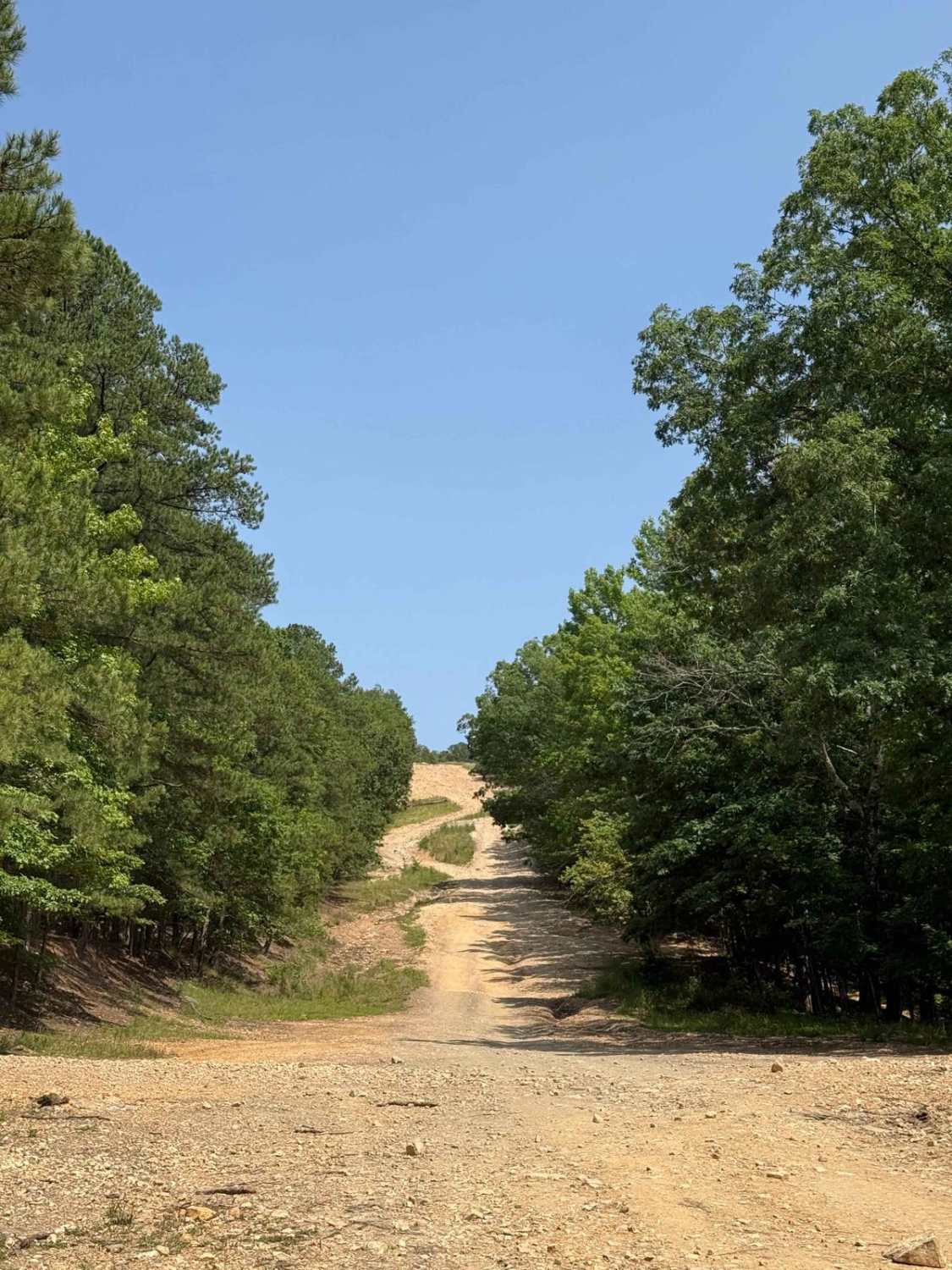
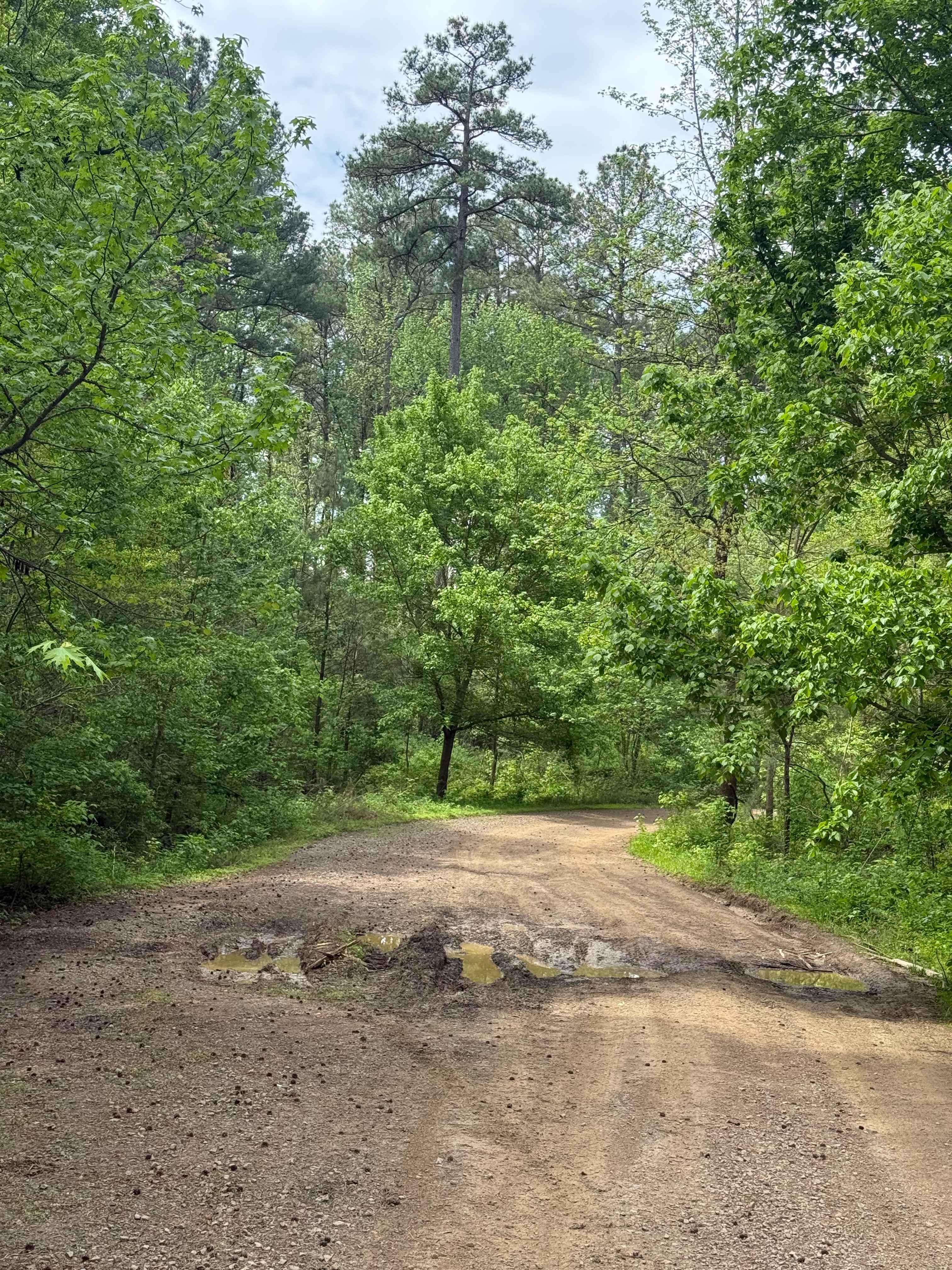
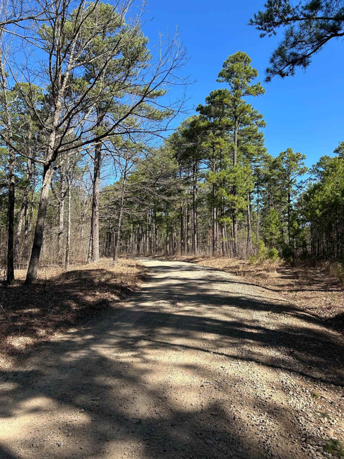
Full-Width Road
Accessible By
Trail Overview
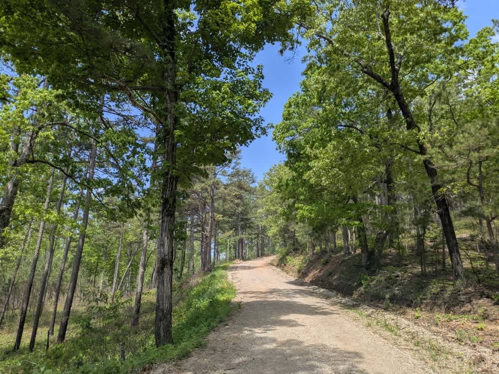
This trail can be traveled in either direction (north to south or south to north). Running this trail from North to South, you will find a steep incline starting on some dirt and quickly moving to loose rock. Towards the middle of the trail, you are met with some larger loose rocks, making it more difficult to work your way up the trail.
Photos of G8/G9 Pipeline
Difficulty
Running this trail from North to South, you will find a steep incline starting on some dirt and quickly moving to loose rock. Towards the middle of the trail you are met with some larger loose rock making it more difficult to work you way up the trail.
Status Reports
G8/G9 Pipeline can be accessed by the following ride types:
- High-Clearance 4x4
- SUV
- SxS (60")
- ATV (50")
- Dirt Bike
G8/G9 Pipeline Map
Popular Trails
Nix Hollows
Woods Mountain Road

The onX Offroad Difference
onX Offroad combines trail photos, descriptions, difficulty ratings, width restrictions, seasonality, and more in a user-friendly interface. Available on all devices, with offline access and full compatibility with CarPlay and Android Auto. Discover what you’re missing today!