NFS 93216B
Total Miles
1.4
Technical Rating
Best Time
Spring, Fall, Winter
Trail Type
High-Clearance 4x4 Trail
Accessible By
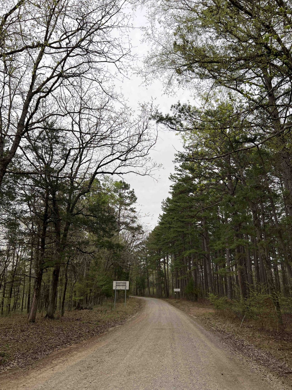
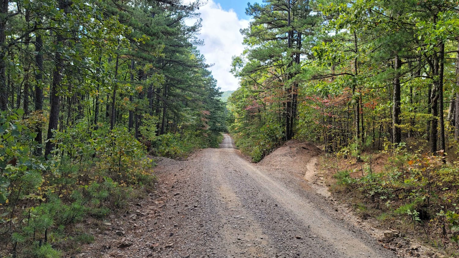
Trail Overview
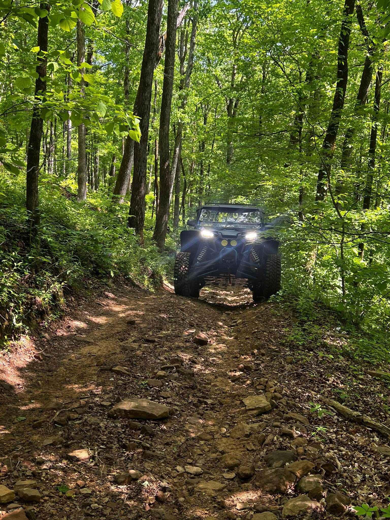
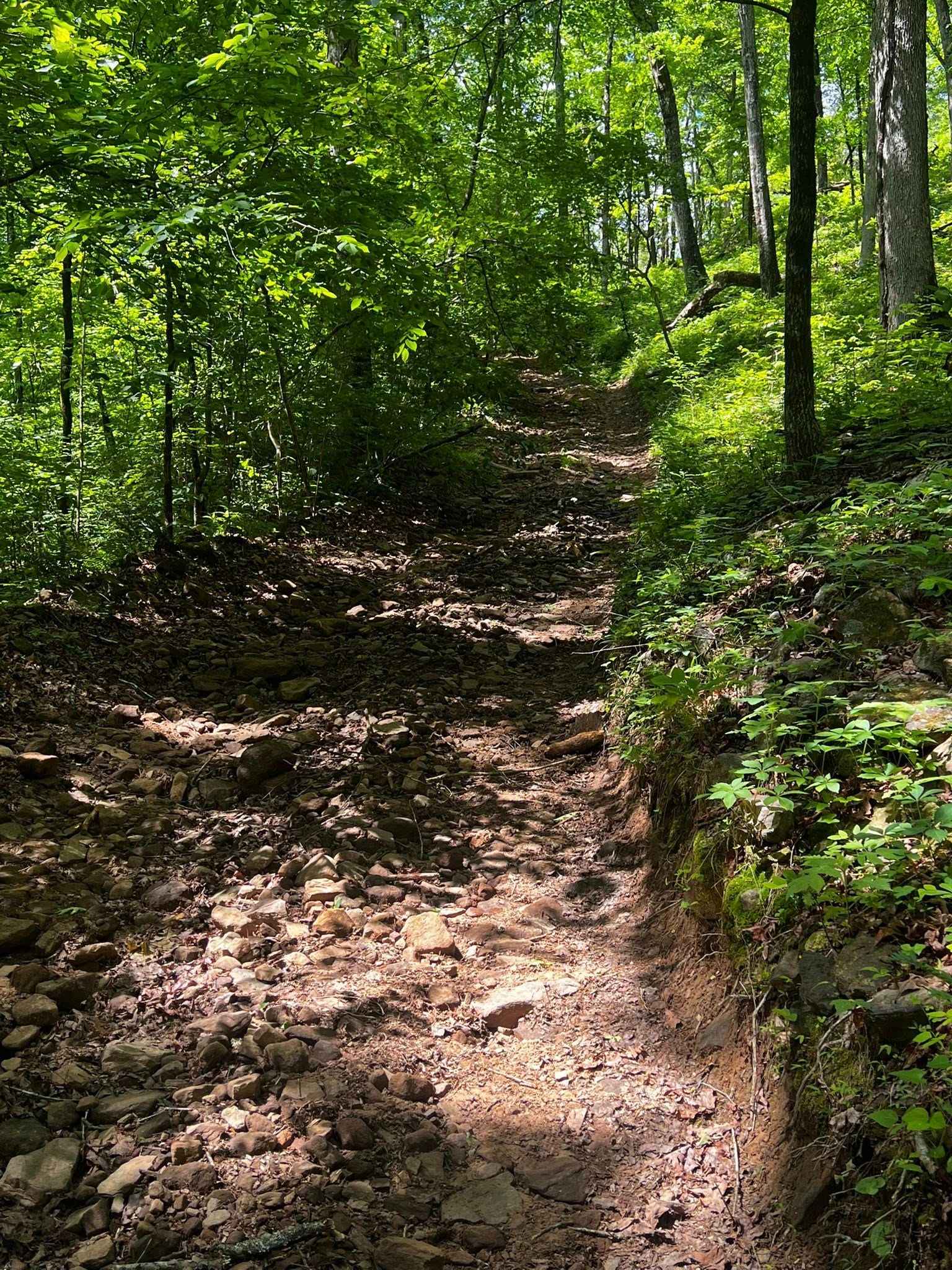
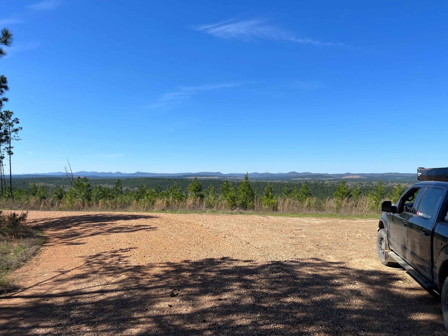
NFS 93216B, going west, begins at 93069A, which parallels the North Fork of the Illinois Bayou. The first 1/8-mile is flat, then quickly starts a climb with a few switchbacks and some off-camber sections. The trail is made up of large, loose rock and dirt and is narrow with no place to pass until you get on the upper part. The upper part of the trail flattens out with a few mud holes before intersecting with NFS 1830 Beindorf. What makes this trail interesting is the switchbacks and loose rocks. Altering intersecting at 1830, continue on northwest to Hwy 7, or go back to the south for the sketchiest trail in the Ozarks.
Photos of NFS 93216B
Difficulty
Switchbacks, off-camber, and loose rocks.
History
A lot of the trails in this area show signs of a time past. Numerous rock walls, cemeteries, and an old schoolhouse.
Status Reports
NFS 93216B can be accessed by the following ride types:
- High-Clearance 4x4
- SxS (60")
- ATV (50")
- Dirt Bike
NFS 93216B Map
Popular Trails
Rock Creek to Pine Ridge
Shores Lake Road 1501
South Forche to Forked Mountain
The onX Offroad Difference
onX Offroad combines trail photos, descriptions, difficulty ratings, width restrictions, seasonality, and more in a user-friendly interface. Available on all devices, with offline access and full compatibility with CarPlay and Android Auto. Discover what you’re missing today!