Girard Road to White Oak Road
Total Miles
4.7
Technical Rating
Best Time
Spring, Summer, Fall, Winter
Trail Type
Full-Width Road
Accessible By
Trail Overview
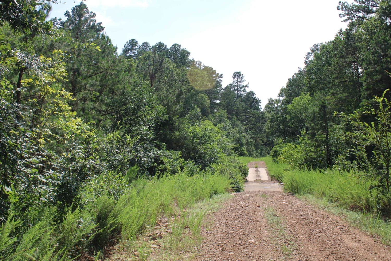
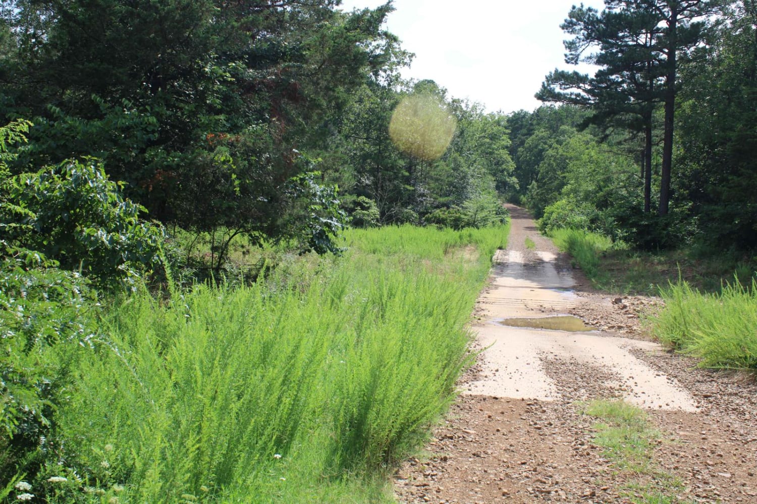
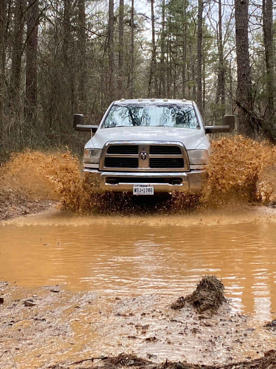
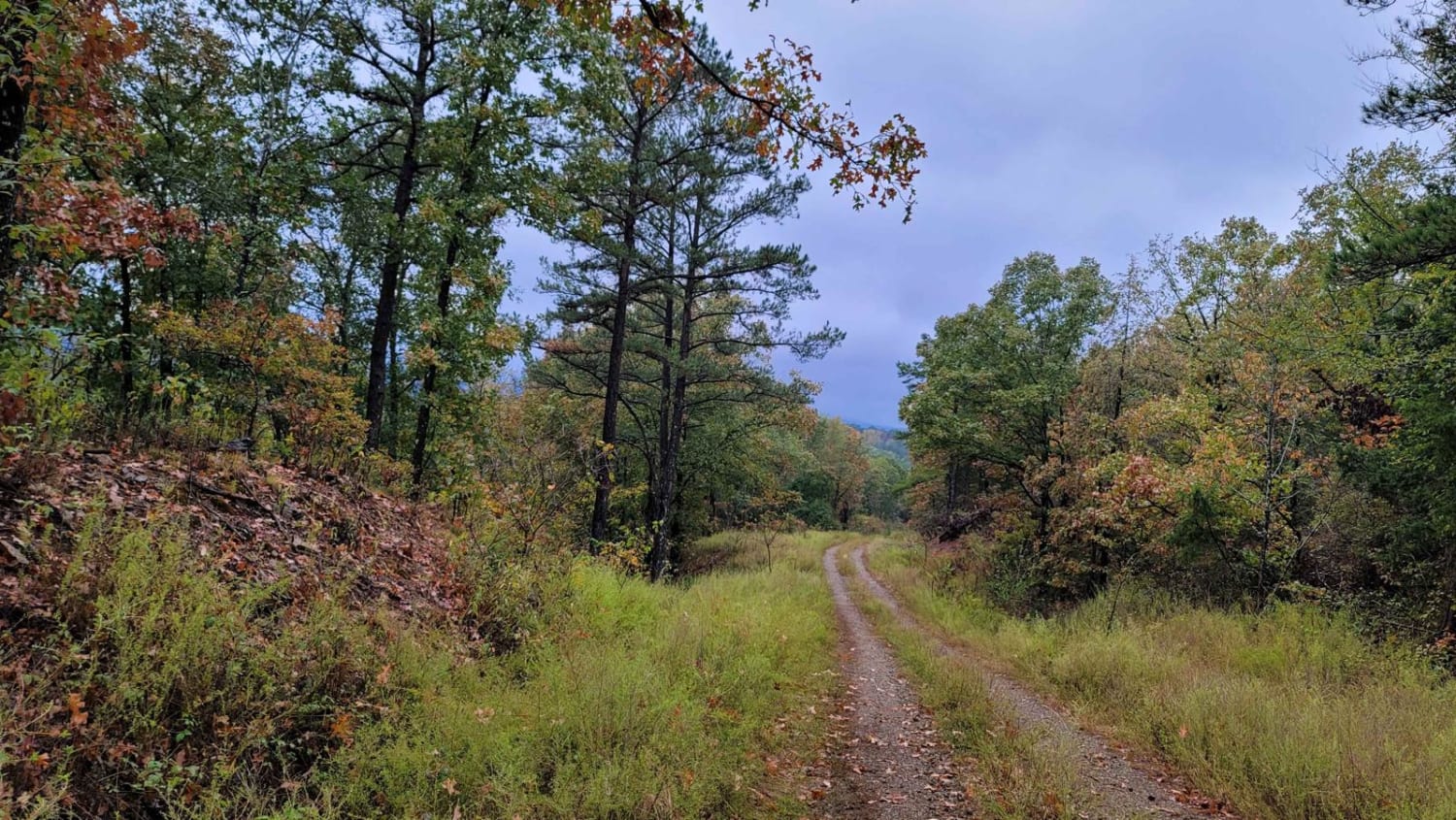
This maintained gravel road has the west trailhead of Sugar Creek multi-use trails area at one end and White Oak Forest road at the other. This gravel road can be dusty when dry and messy when wet. There are a few creek crossings that will be dry unless there has been rain. The Sugar Creek Multi-Use Trail is a network of looping trails that winds over various types of terrain and through a variety of tree types. Connecting loops offer users an opportunity to explore exciting outdoor opportunities. The Sugar Creek Multi-Use Recreation Trail offers motorcycle, 4-wheeler, utility vehicle, horse, bicycle, and foot travel enthusiasts approximately 37 miles of rustic, scenic, historic, and picturesque travel ways. The difficulty level ranges from easy to more difficult, with most of the trail being easy to moderate difficulty.
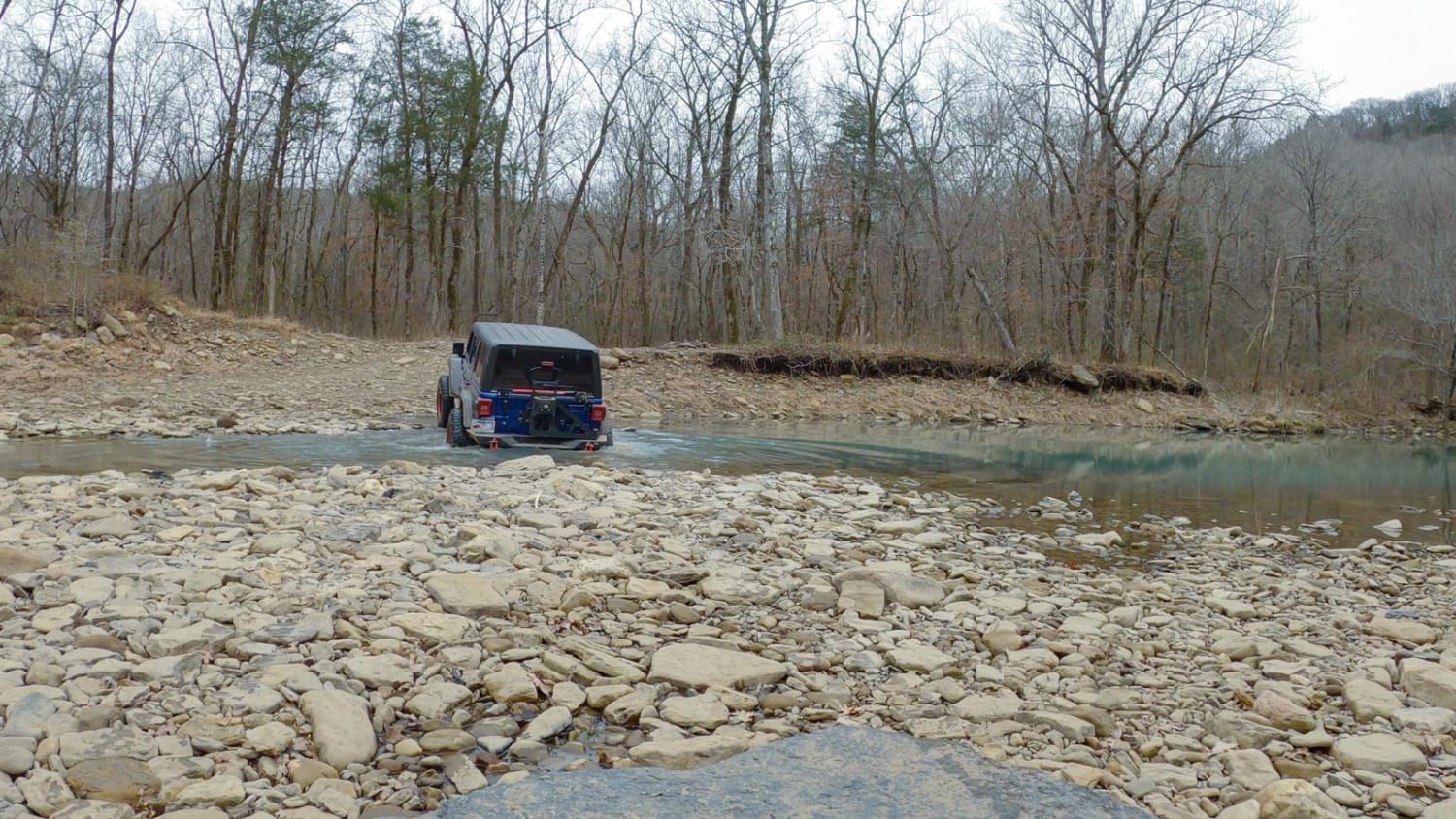
Photos of Girard Road to White Oak Road
Difficulty
This gravel road can be bumpy in some areas. It is dusty when dry and messy when wet.
Status Reports
Girard Road to White Oak Road can be accessed by the following ride types:
- High-Clearance 4x4
- SUV
- SxS (60")
- ATV (50")
- Dirt Bike
Girard Road to White Oak Road Map
Popular Trails

Gap Hollow Spur South 1
East Fork Illinois Bayou
Moss Curves
Alexander Mountain
The onX Offroad Difference
onX Offroad combines trail photos, descriptions, difficulty ratings, width restrictions, seasonality, and more in a user-friendly interface. Available on all devices, with offline access and full compatibility with CarPlay and Android Auto. Discover what you’re missing today!