Alexander Mountain
Total Miles
5.7
Technical Rating
Best Time
Spring, Summer, Fall, Winter
Trail Type
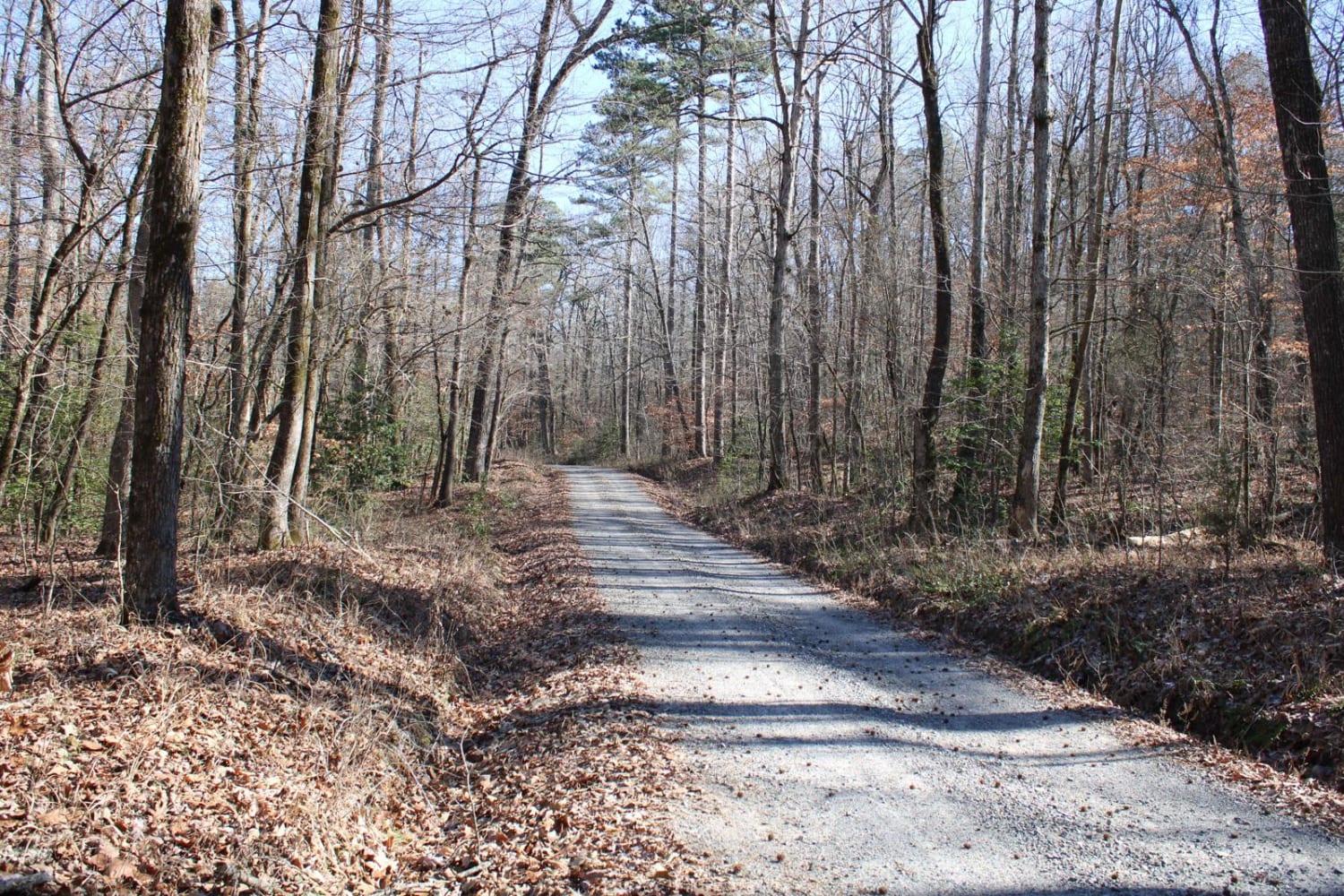
Full-Width Road
Accessible By
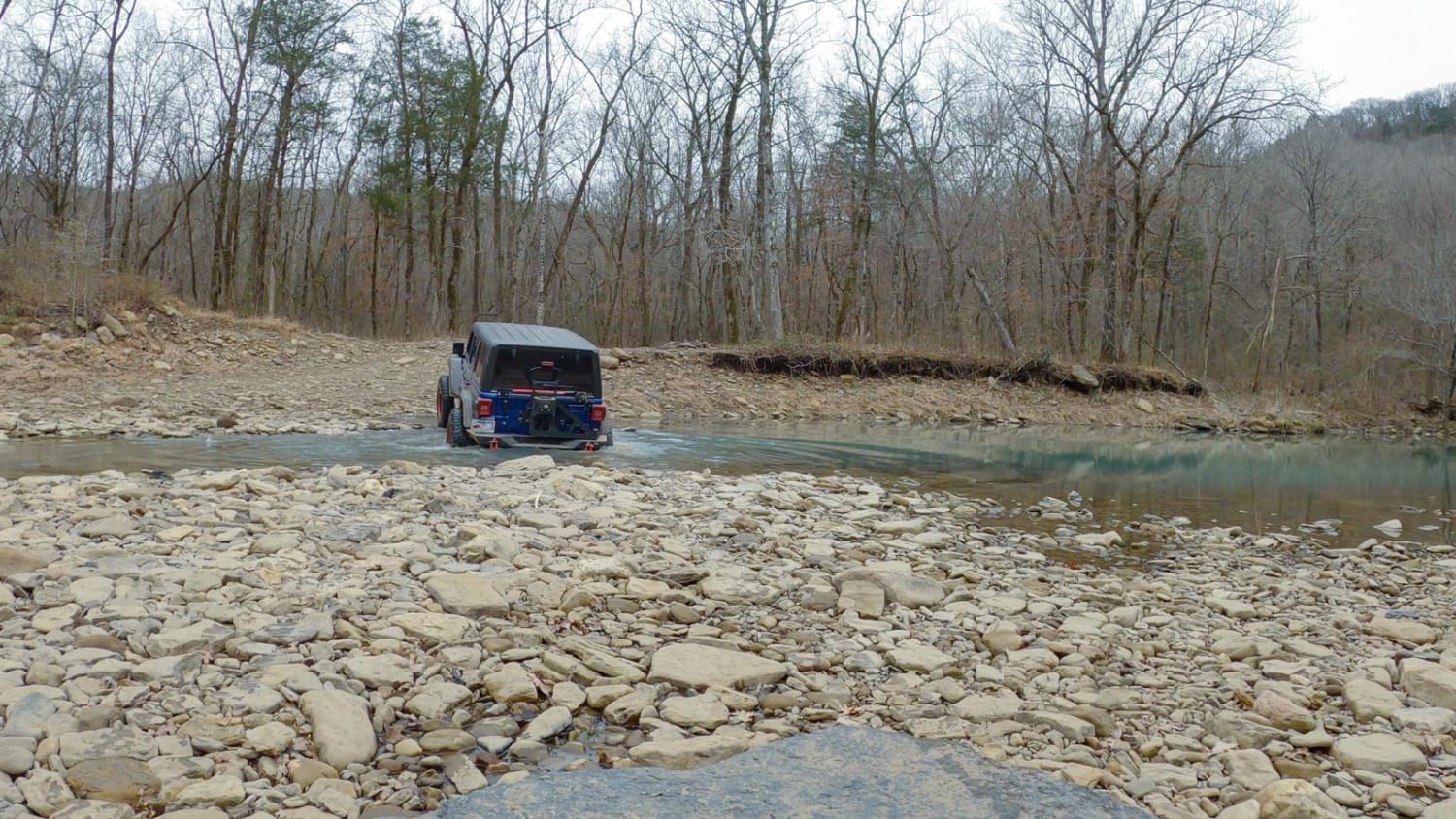
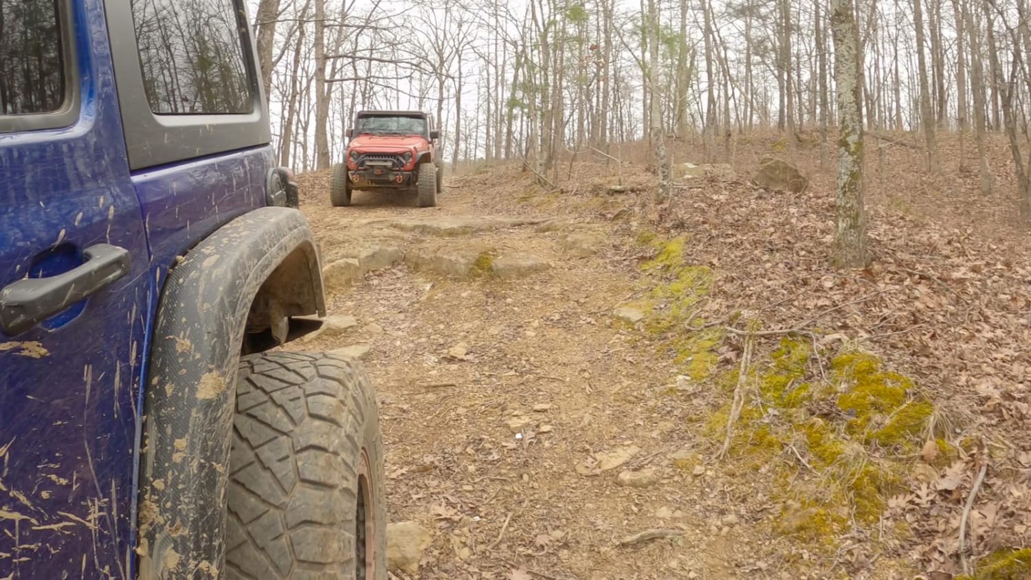
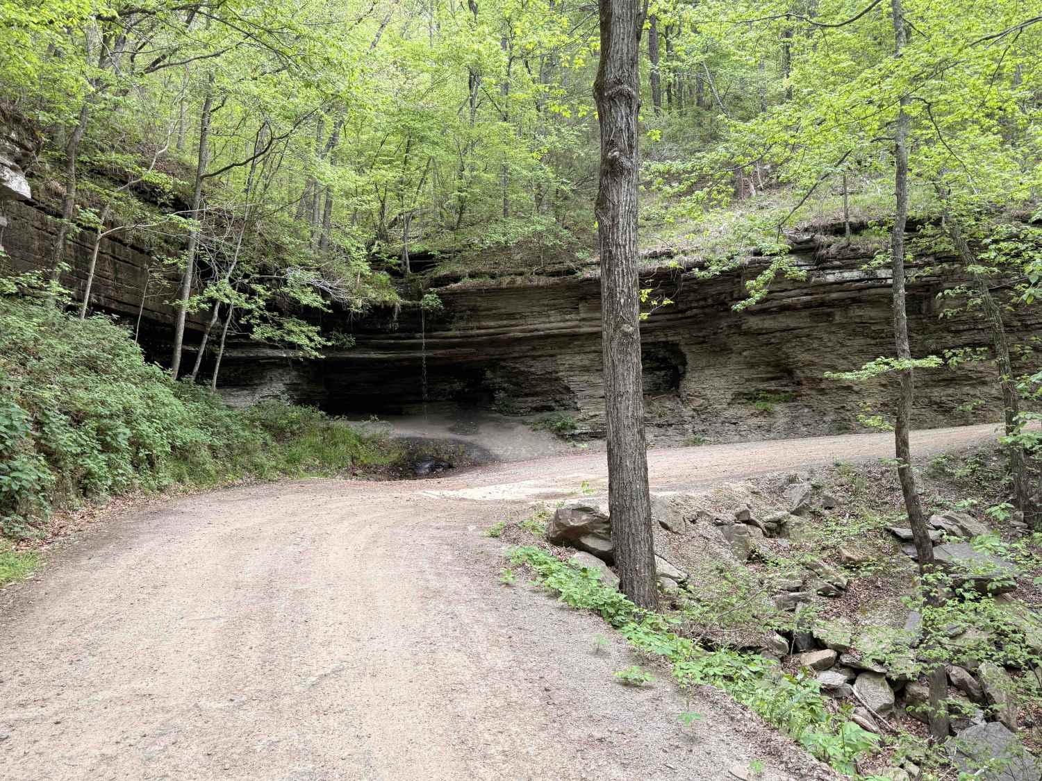
Trail Overview
Alexander Mountain, or Forest Service Road 1703, runs between Locke, on the southwest end near Devil's Canyon, to Hurricane Creek Rd, near White Rock on the northeast end. It can be run either direction. This trail offers beautiful scenery with a mix of challenging and easy trail sections. The road at the top of the mountain is easy with very little difficulty, while the most challenging portion of this trail will be the climb/decent between Hurricane Creek and the top of Alexander Mtn, including the creek crossing. There are a few large camping spots on the top of the mountain and some smaller spots near the creek.
Photos of Alexander Mountain
Difficulty
The climb from Hurricane Creek to the top of Alexander Mountain is rutted, with loose rocks and off-camber sections. Also, the water crossing at Hurricane Creek can range from 18-24" deep or more depending on the time of year.
Status Reports
Alexander Mountain can be accessed by the following ride types:
- High-Clearance 4x4
- SUV
- ATV (50")
- Dirt Bike
Alexander Mountain Map
Popular Trails

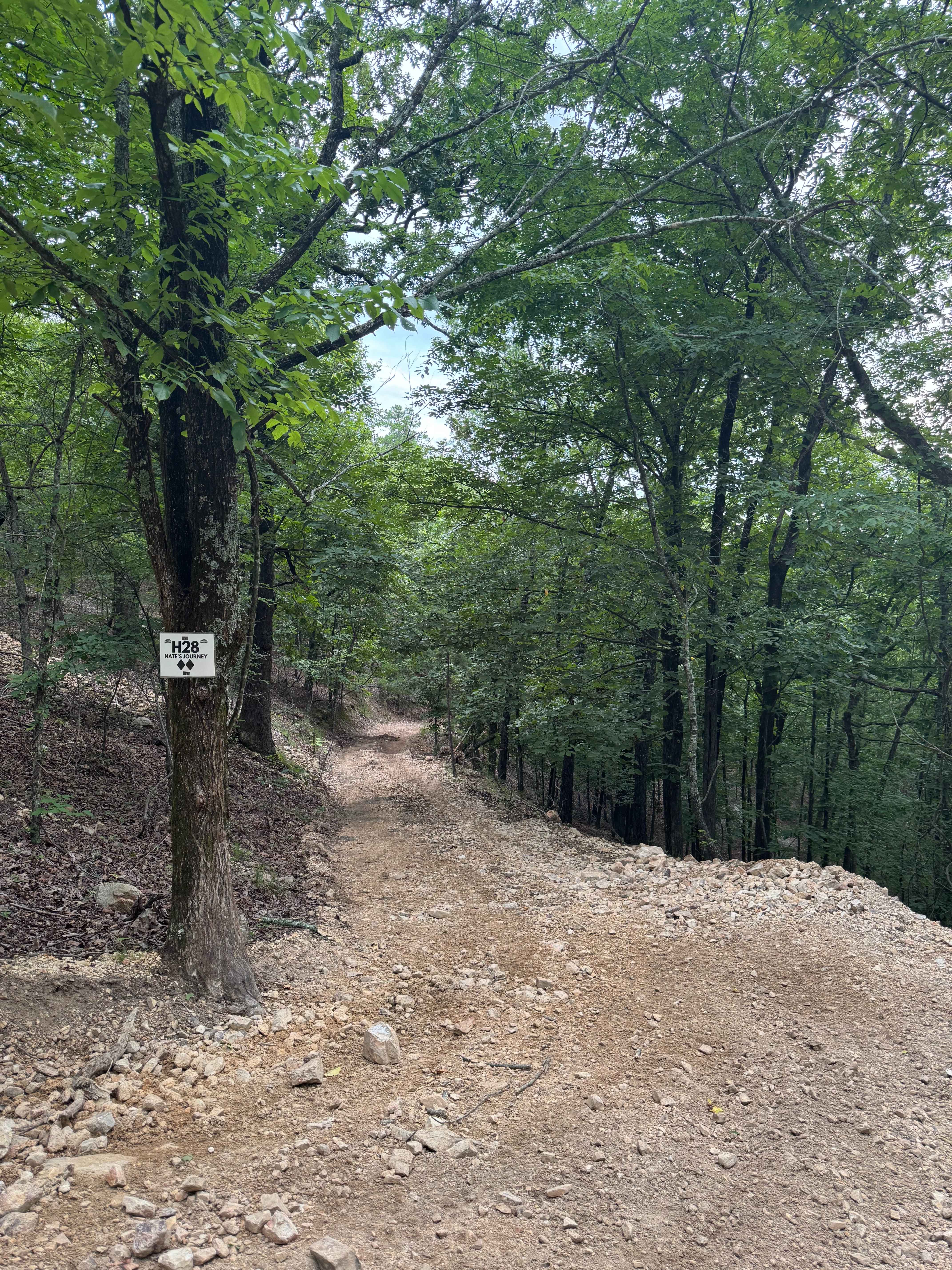
H28 Nate's Journey
Collier Springs
The onX Offroad Difference
onX Offroad combines trail photos, descriptions, difficulty ratings, width restrictions, seasonality, and more in a user-friendly interface. Available on all devices, with offline access and full compatibility with CarPlay and Android Auto. Discover what you’re missing today!