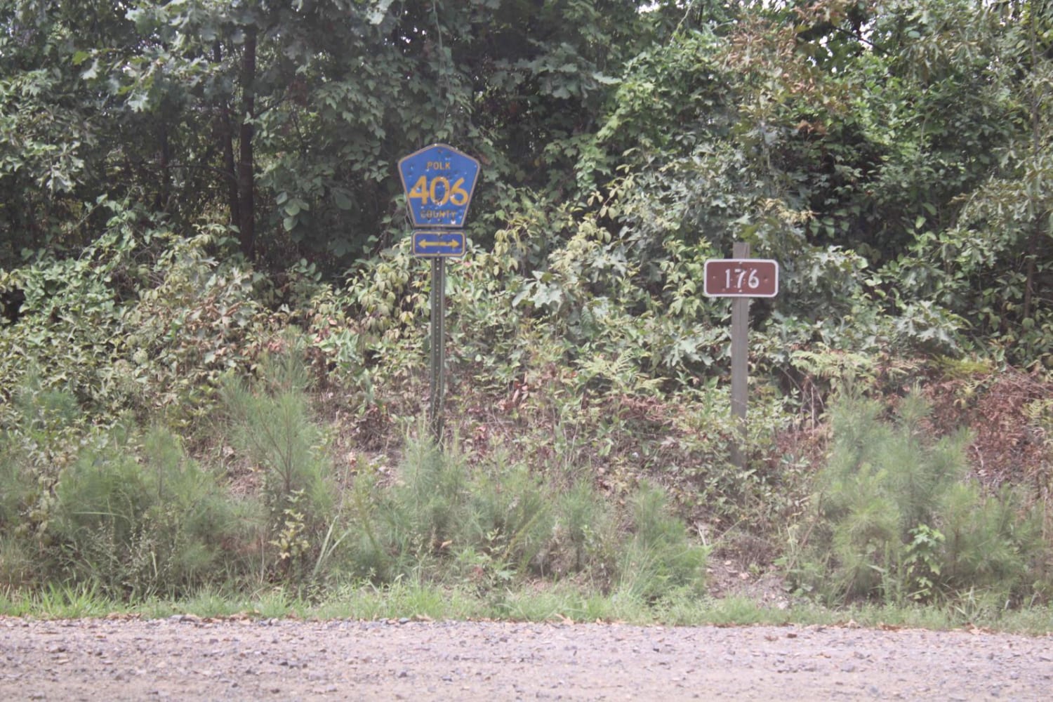
CR 4290
Total Miles
3.4
Technical Rating
Best Time
Spring, Summer, Fall, Winter
Trail Type
Full-Width Road
Accessible By
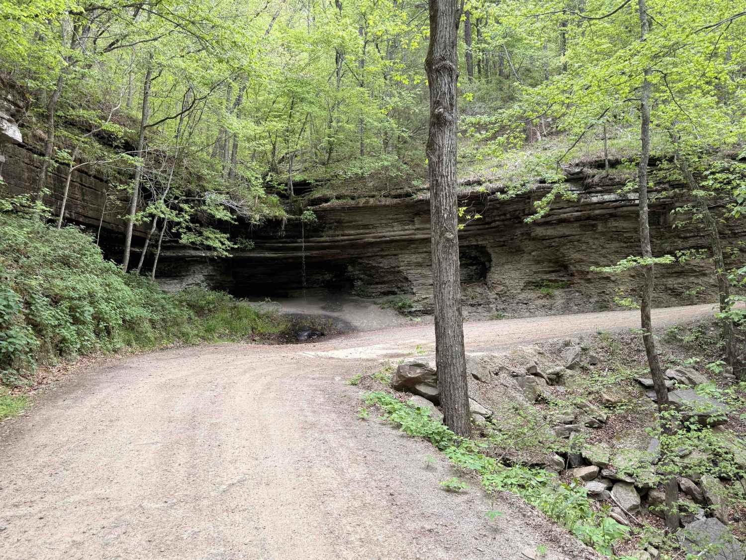
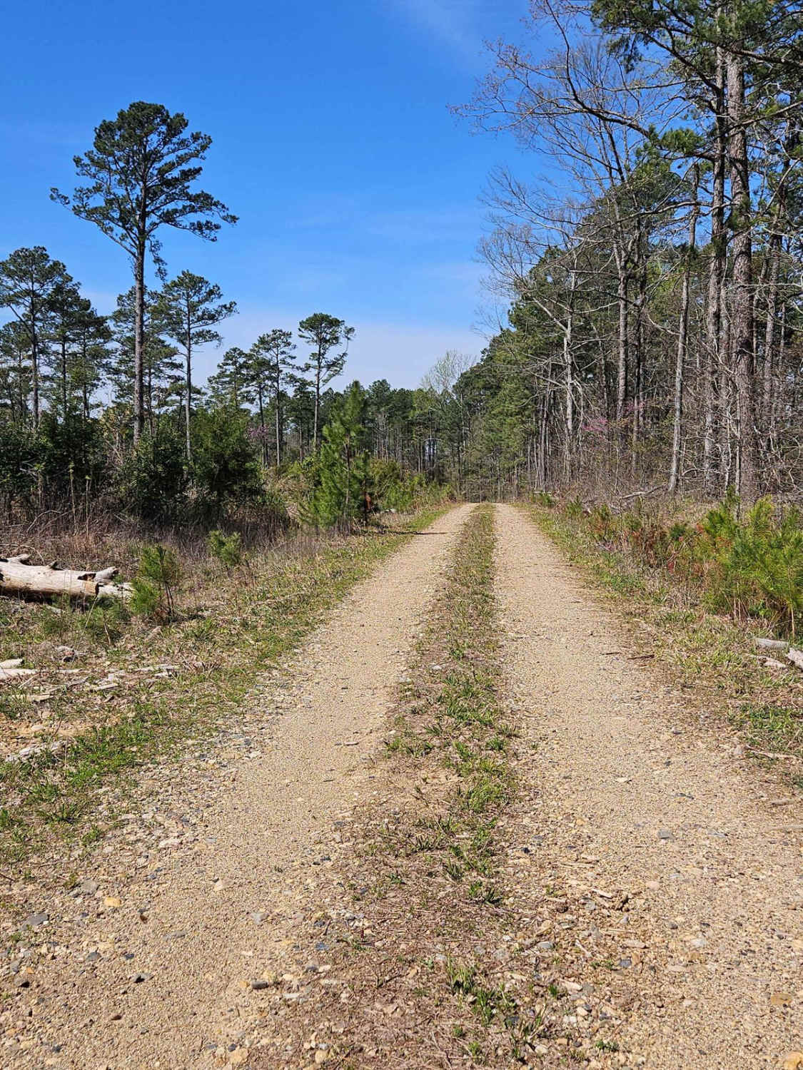
Trail Overview
County Road 4290 begins with a shallow, rocky crossing of Washita Creek, which is typically straightforward but may vary slightly with recent rainfall. After the crossing, the route follows closely alongside the creek, offering consistent scenic views of the water and surrounding forest. The road is primarily gravel with a firm base, though it remains narrow for most of its length and is generally limited to one vehicle at a time. Much of the trail is bench cut into the hillside, with mild exposure in places but no significant technical obstacles. The primary attraction along this route is a spring-fed waterfall flowing near a bluff shelter, creating a unique and worthwhile stopping point. Overall, this is an easy trail suitable for most high-clearance vehicles and riders looking for a relaxed, scenic experience.
Photos of CR 4290

Difficulty
Shallow, rocky, water crossing of Washita Creek. The route is mostly gravel, narrow, and follows a bench-cut alignment along the hillside. Overall, an easy trail suitable for most high-clearance vehicles.
Status Reports
CR 4290 can be accessed by the following ride types:
- High-Clearance 4x4
- SUV
CR 4290 Map
Popular Trails

5ST Motorcycle Only

Polk Road 34 to Camping
The onX Offroad Difference
onX Offroad combines trail photos, descriptions, difficulty ratings, width restrictions, seasonality, and more in a user-friendly interface. Available on all devices, with offline access and full compatibility with CarPlay and Android Auto. Discover what you’re missing today!