Drew Ridge
Total Miles
3.2
Technical Rating
Best Time
Spring
Trail Type
Full-Width Road
Accessible By
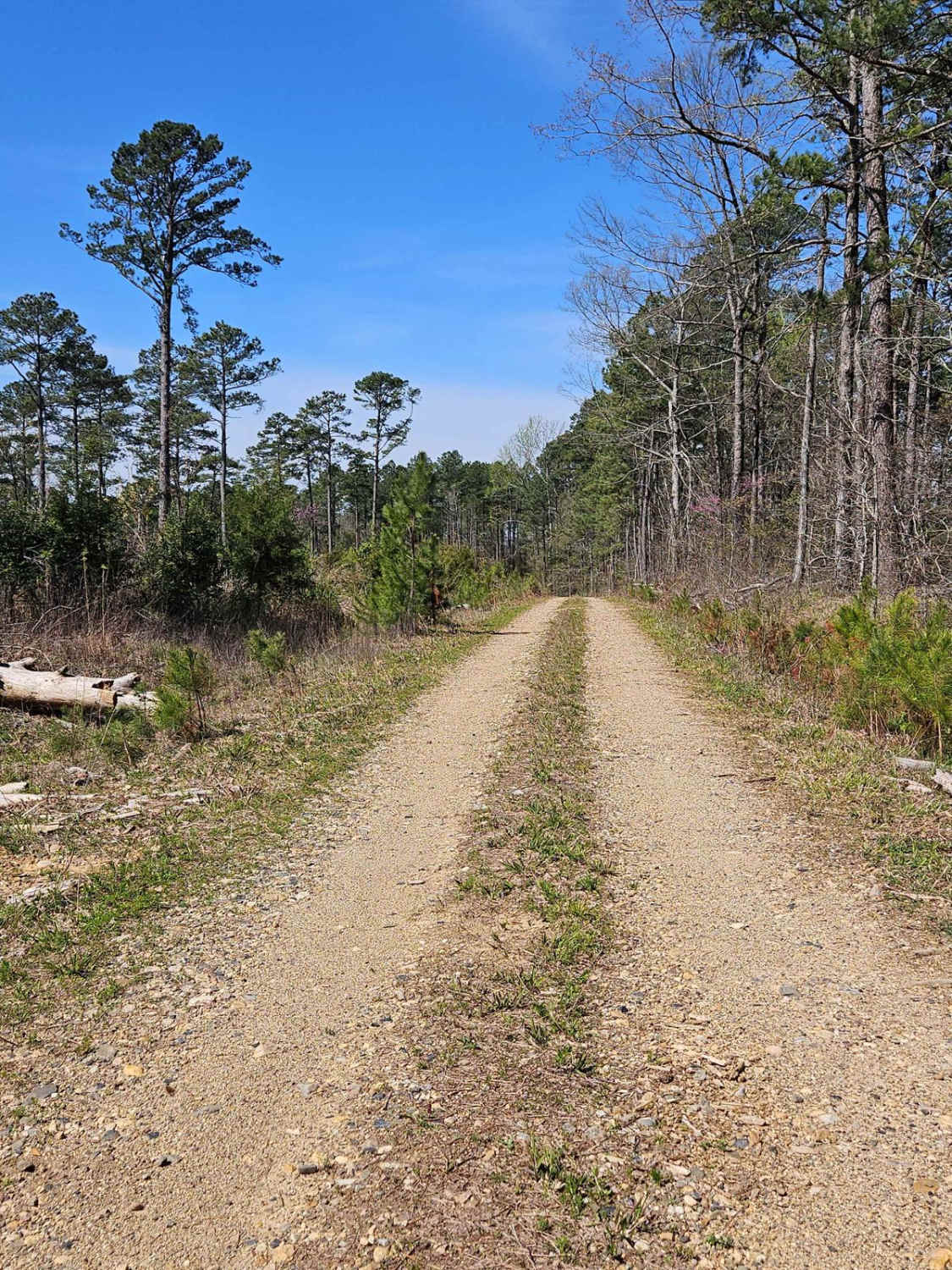
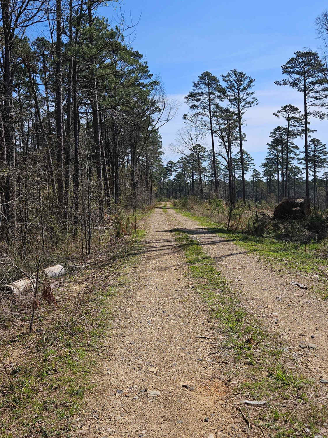
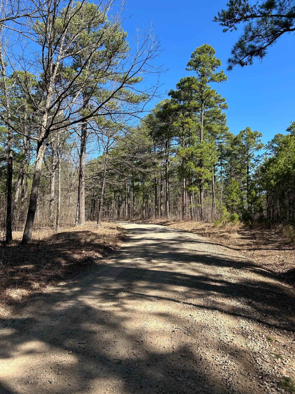
Trail Overview
This trail borders private hunting leases to the south and National Forest land to the north. The current map shows that it's closed until 10/3, but a ranger confirmed that this road is open year-round. The trail is easy and offers many dispersed campsites on the north side of the road. At the end of the trail, it gets narrow.
Photos of Drew Ridge
Difficulty
The road is well-maintained but can get rutted during logging operations.
Status Reports
Drew Ridge can be accessed by the following ride types:
- High-Clearance 4x4
- SUV
- SxS (60")
- ATV (50")
- Dirt Bike
Drew Ridge Map
Popular Trails
Woods Mountain Road
Two Mile Road

Hibiscus Hollow

A15 Twin Hills East (Bottom)
The onX Offroad Difference
onX Offroad combines trail photos, descriptions, difficulty ratings, width restrictions, seasonality, and more in a user-friendly interface. Available on all devices, with offline access and full compatibility with CarPlay and Android Auto. Discover what you’re missing today!