Off-Road Trails in Arkansas
Discover off-road trails in Arkansas
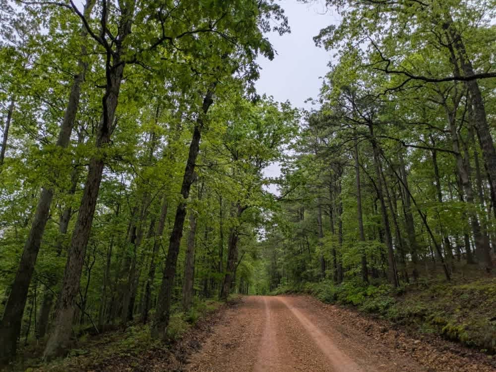
Learn more about Hempstead 307 Road
Hempstead 307 Road
Total Miles
4.7
Tech Rating
Easy
Best Time
Spring, Summer, Fall, Winter
Learn more about Hempstead Road 421
Hempstead Road 421
Total Miles
4.1
Tech Rating
Easy
Best Time
Spring, Summer, Fall, Winter
Learn more about Henry Mountain Road
Henry Mountain Road
Total Miles
7.2
Tech Rating
Easy
Best Time
Spring, Summer, Fall, Winter
Learn more about Hibiscus Hollow
Hibiscus Hollow
Total Miles
0.2
Tech Rating
Easy
Best Time
Spring, Summer, Fall, Winter
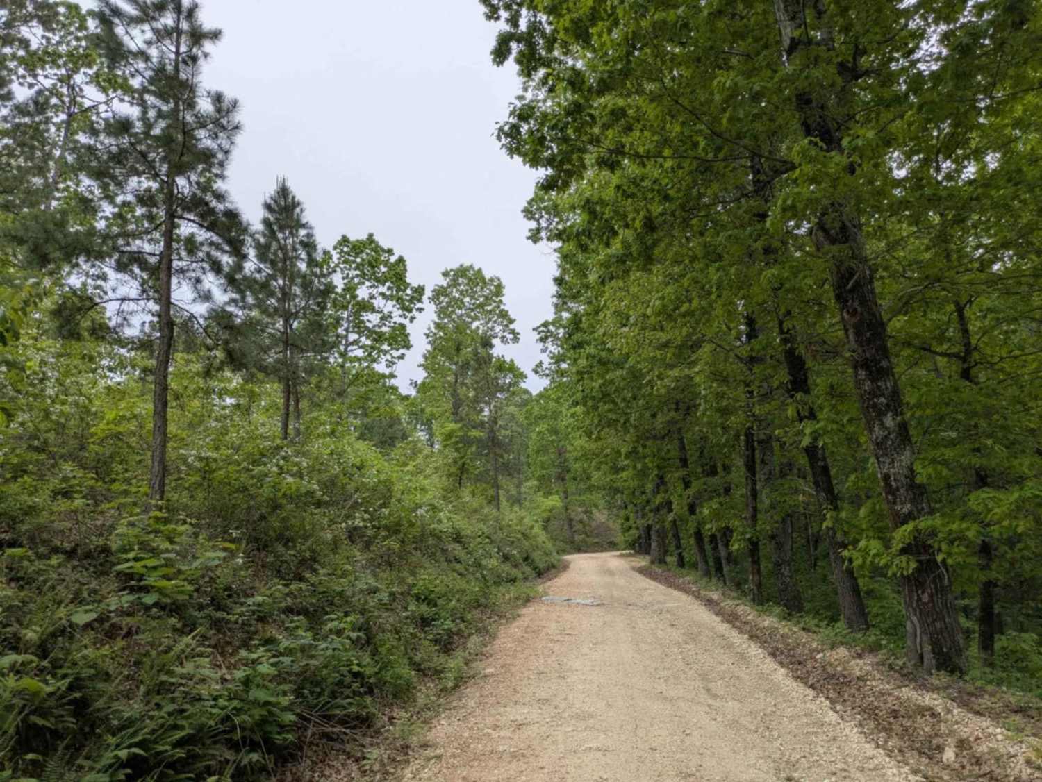
Learn more about Hickory Grove
Hickory Grove
Total Miles
4.1
Tech Rating
Easy
Best Time
Spring, Summer, Fall, Winter
Learn more about Hickory Nut Mountain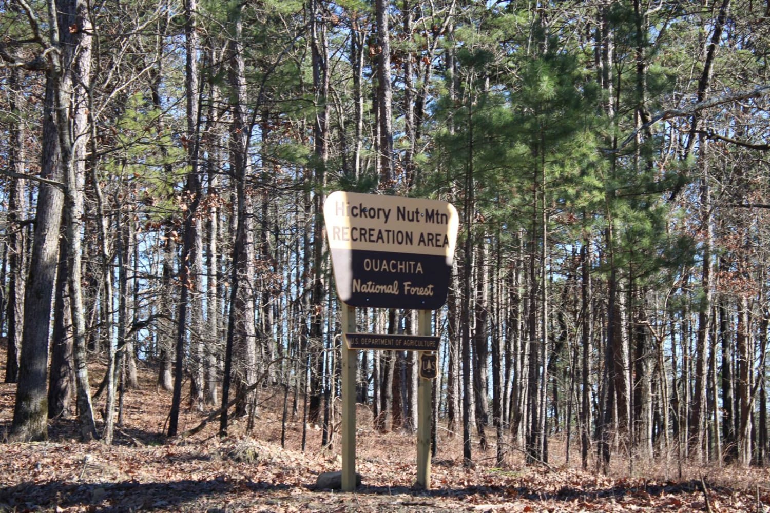
Hickory Nut Mountain
Total Miles
4.2
Tech Rating
Easy
Best Time
Spring, Summer, Fall, Winter
Learn more about Hickory Nut Trail
Hickory Nut Trail
Total Miles
2.1
Tech Rating
Easy
Best Time
Spring, Summer
Learn more about High Mountain Loop - North
High Mountain Loop - North
Total Miles
3.8
Tech Rating
Moderate
Best Time
Spring, Summer, Fall, Winter
Learn more about High Mountain Loop (South)
High Mountain Loop (South)
Total Miles
2.8
Tech Rating
Moderate
Best Time
Spring, Summer, Fall, Winter
Learn more about High Mountain Loop B
High Mountain Loop B
Total Miles
1.7
Tech Rating
Easy
Best Time
Spring, Summer, Fall, Winter
Learn more about High Point Vista
High Point Vista
Total Miles
0.4
Tech Rating
Moderate
Best Time
Spring, Summer, Fall
Learn more about Highland Route - 216
Highland Route - 216
Total Miles
3.3
Tech Rating
Moderate
Best Time
Fall
Learn more about Highway 24 to Campsite C-10 Poison Springs WMA
Highway 24 to Campsite C-10 Poison Springs WMA
Total Miles
8.5
Tech Rating
Easy
Best Time
Spring, Summer, Fall, Winter
Learn more about Highway 24 to Poison Springs WMA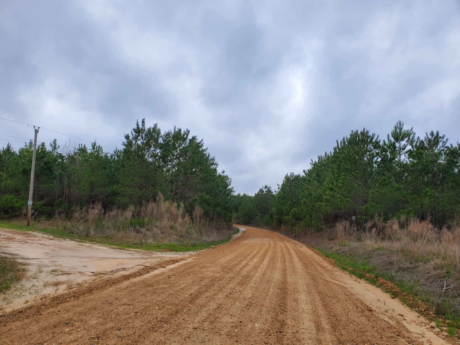
Highway 24 to Poison Springs WMA
Total Miles
8.6
Tech Rating
Easy
Best Time
Spring, Summer, Fall, Winter
Learn more about Highway 355 To Nacatoch Ravines
Highway 355 To Nacatoch Ravines
Total Miles
3.0
Tech Rating
Easy
Best Time
Spring, Summer, Fall, Winter
Learn more about Hillside Holler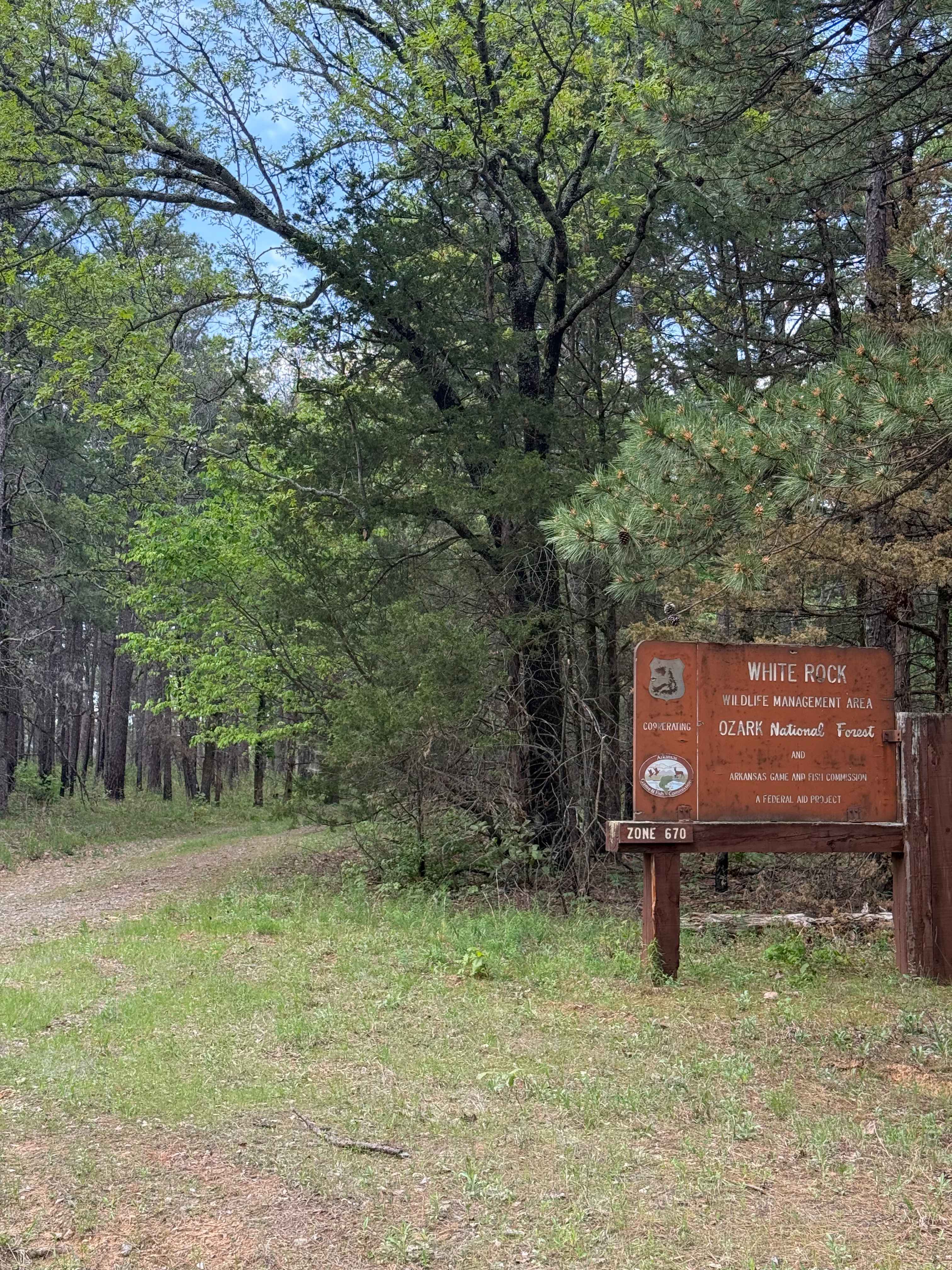
Hillside Holler
Total Miles
0.8
Tech Rating
Easy
Best Time
Spring, Summer, Fall, Winter
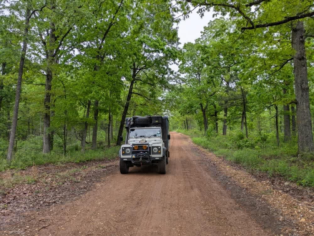
Learn more about Hogg - FS 93040B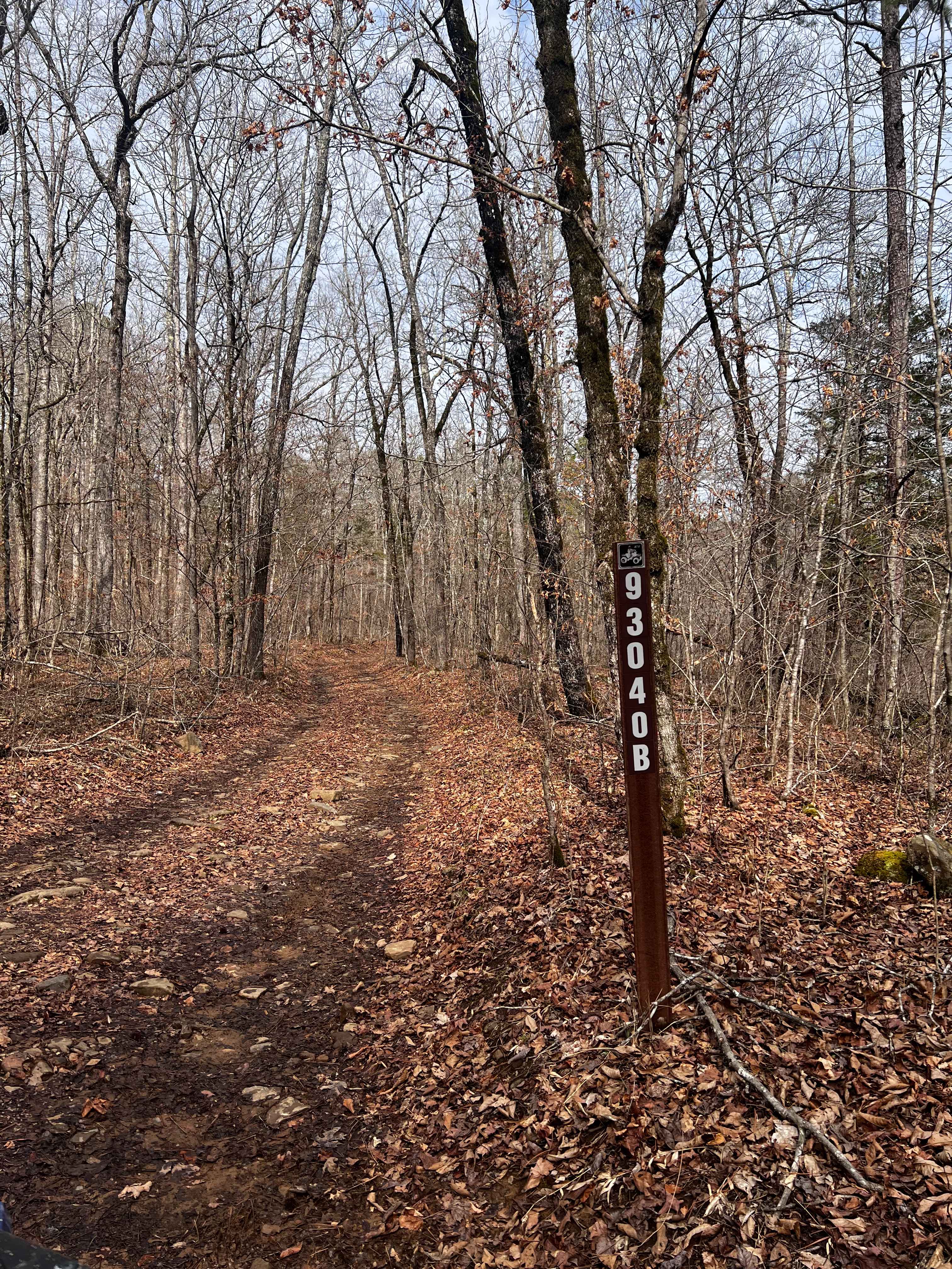
Hogg - FS 93040B
Total Miles
2.6
Tech Rating
Moderate
Best Time
Spring, Summer, Fall, Winter
Learn more about Hollis Trail 174
Hollis Trail 174
Total Miles
6.8
Tech Rating
Easy
Best Time
Spring, Summer, Fall, Winter
Learn more about Honu Crossing
Honu Crossing
Total Miles
0.2
Tech Rating
Easy
Best Time
Spring, Summer, Fall, Winter
Learn more about Horne Road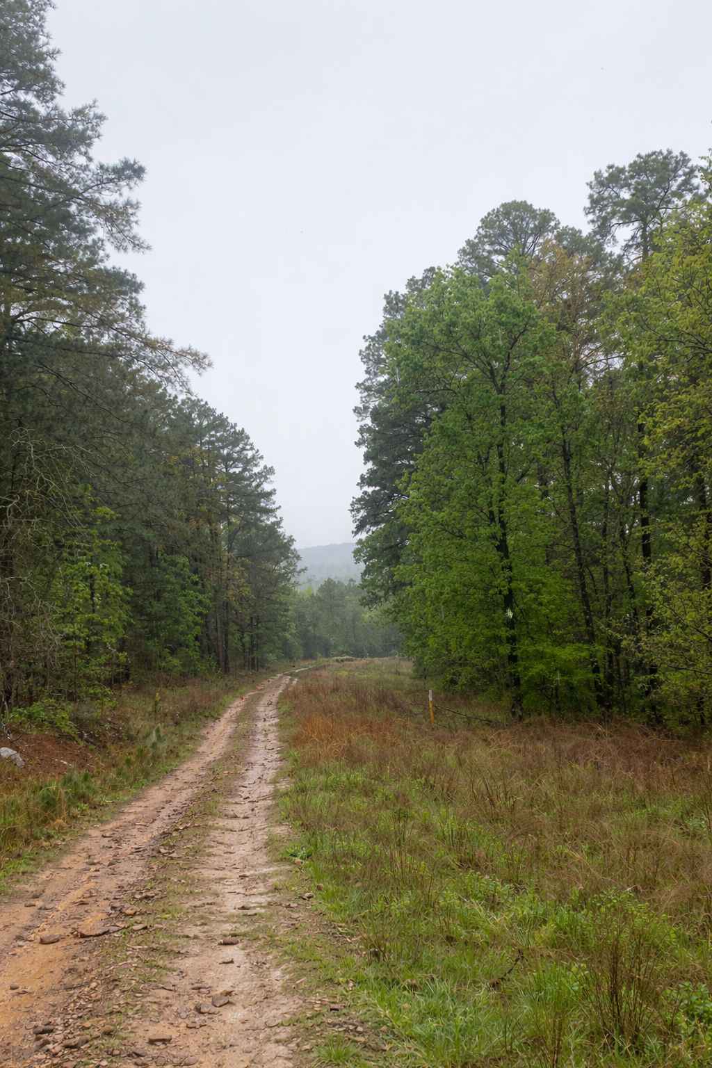
Horne Road
Total Miles
0.8
Tech Rating
Moderate
Best Time
Spring, Fall, Winter, Summer
ATV trails in Arkansas
Learn more about 1101 Road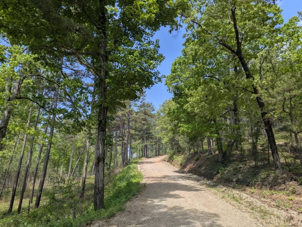
1101 Road
Total Miles
8.7
Tech Rating
Easy
Best Time
Summer, Winter, Fall, Spring
UTV/side-by-side trails in Arkansas
Learn more about 1101 Road
1101 Road
Total Miles
8.7
Tech Rating
Easy
Best Time
Summer, Winter, Fall, Spring
The onX Offroad Difference
onX Offroad combines trail photos, descriptions, difficulty ratings, width restrictions, seasonality, and more in a user-friendly interface. Available on all devices, with offline access and full compatibility with CarPlay and Android Auto. Discover what you’re missing today!