High Mountain Loop (South)
Total Miles
2.8
Technical Rating
Best Time
Spring, Summer, Fall, Winter
Trail Type
50" Trail
Accessible By
Trail Overview
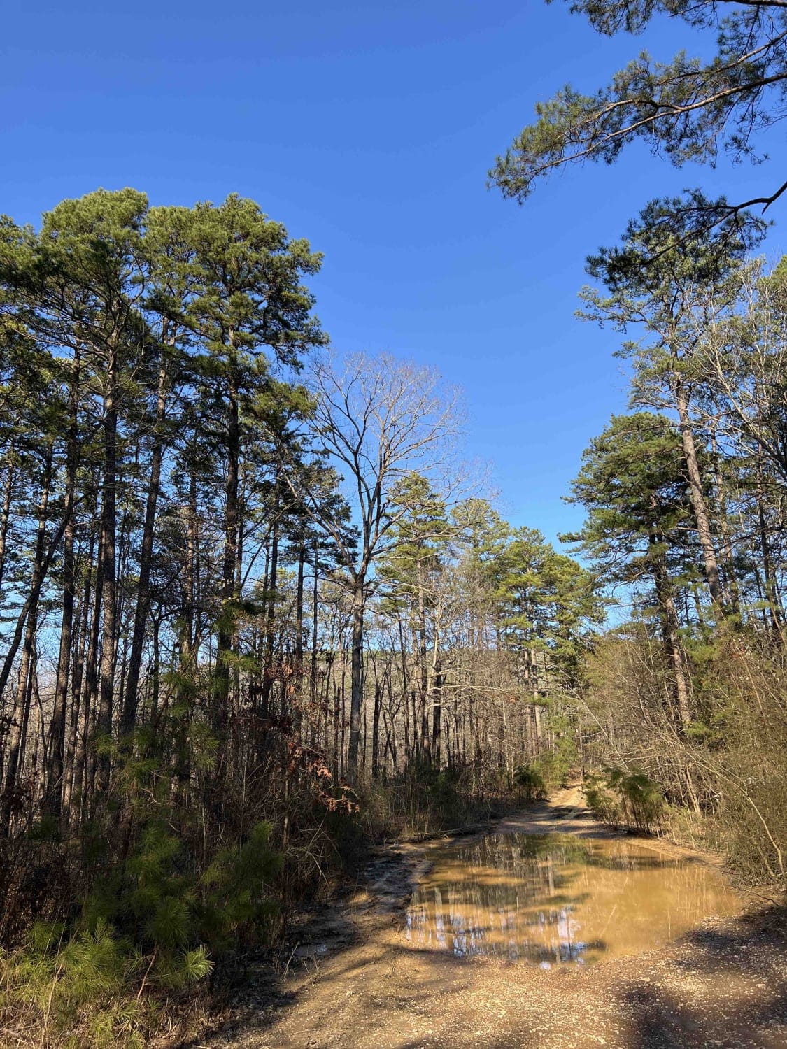
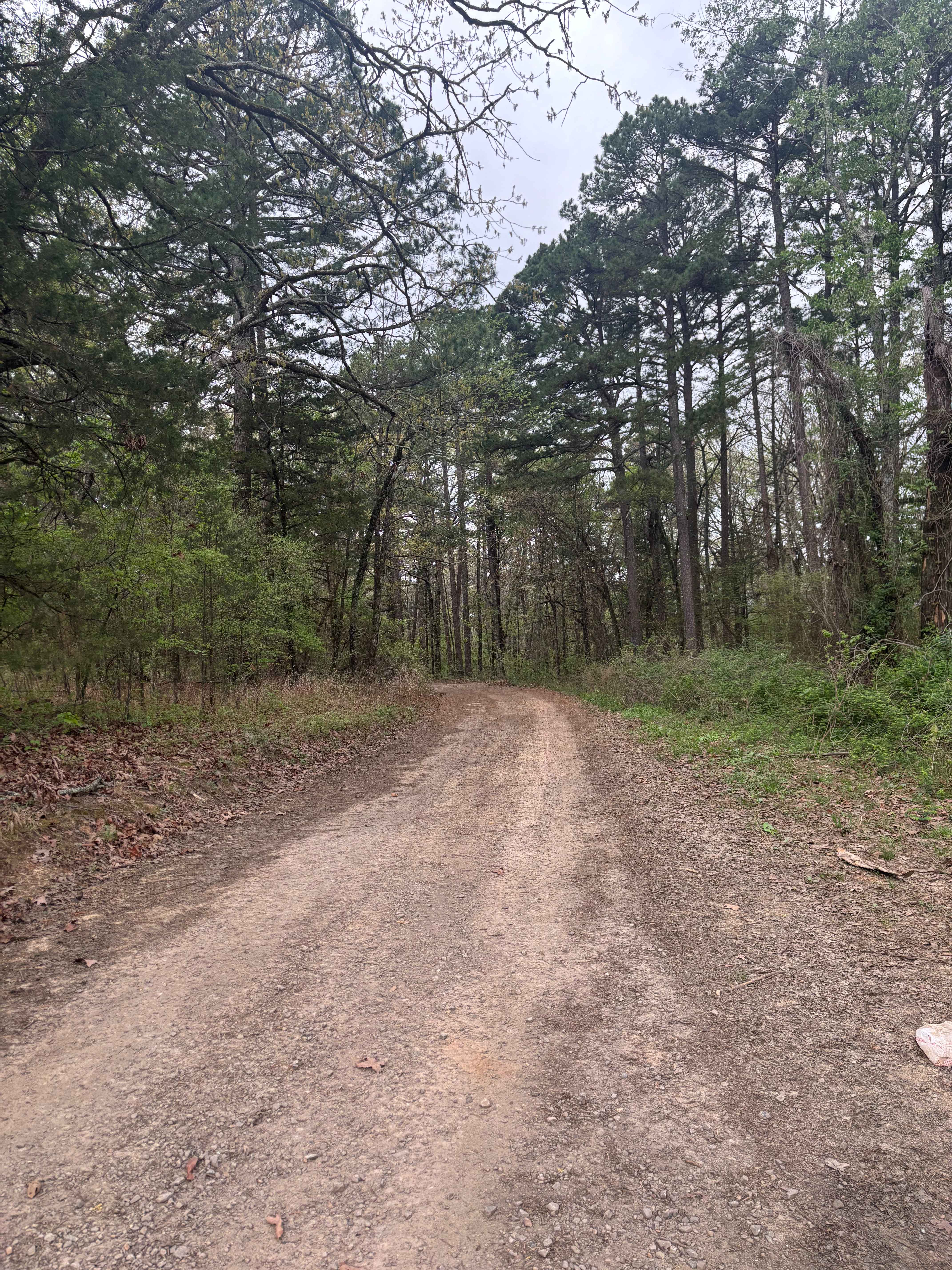
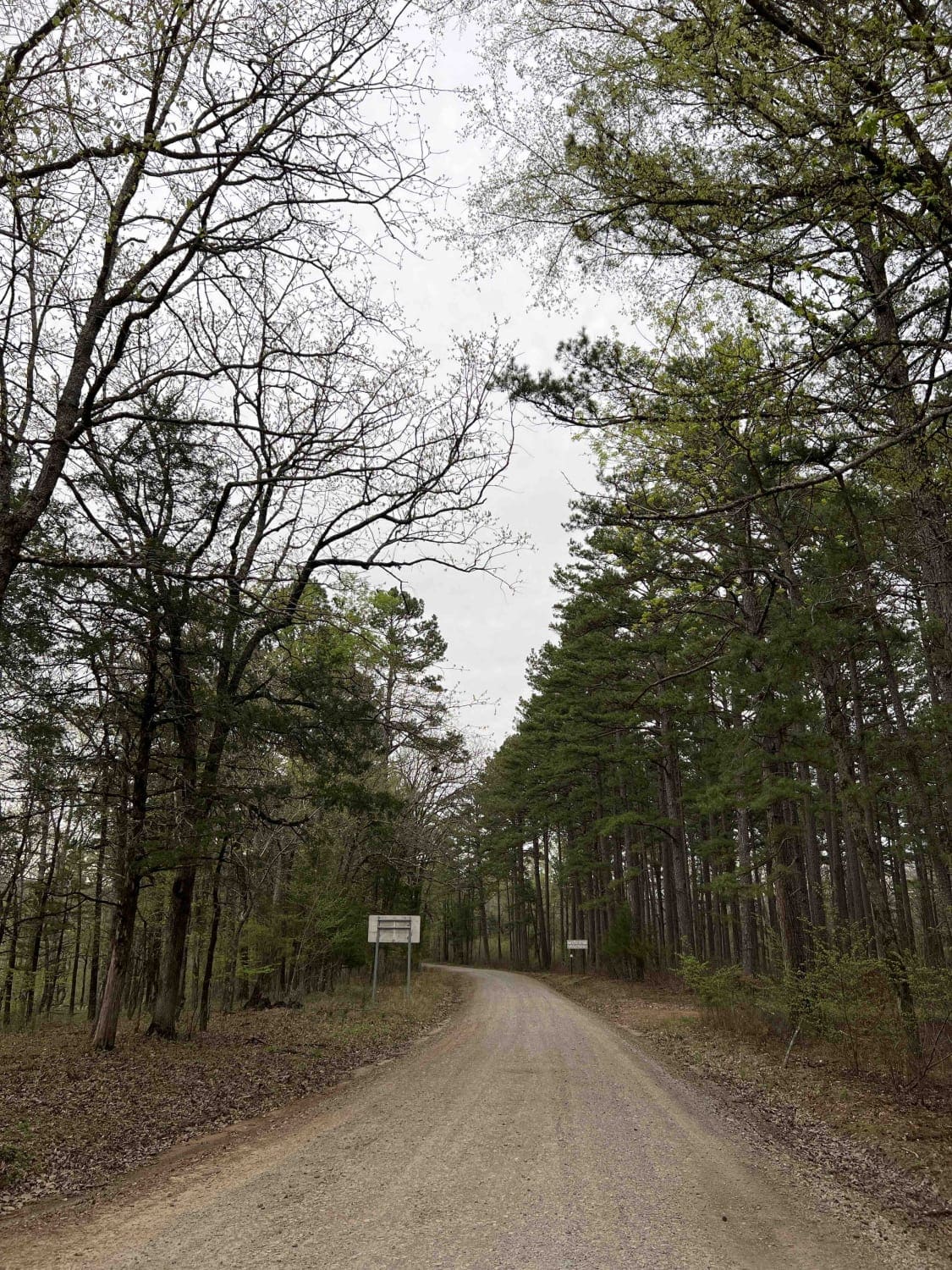
This trail weaves through a scenic forest full of shallow creeks, young pine trees, and tight, brushy corridors. It's got a little bit of everything--rocky spots with large boulders, most of which can be ridden over, flat slabs of rock, shelfy rocky sections, roots, and the occasional downed tree branch to keep things interesting. Wide mud puddles and unmarked intersections will keep you vigilant, and the creek crossings are shallow and manageable. There's a nice rhythm between technical sections and smoother, easier riding. There is a notable steep hill climb covered with loose rocks and scattered boulders that will require some good traction and hill climbing skills. Watch out for sudden deep ruts. It goes past a big open meadow before reaching the intersection with High Mountain Loop B, then continues west towards the 1805A road on an easy smooth path.
Photos of High Mountain Loop (South)


Difficulty
A lot of this trail is easy and smooth, but there are notable more difficult sections with deep ruts, and rockier sections that add more difficulty, plus a particularly loose and steep rockier hill climb.
Status Reports
High Mountain Loop (South) can be accessed by the following ride types:
- ATV (50")
- Dirt Bike
High Mountain Loop (South) Map
Popular Trails
Wildcat Mountain 179
West Fork Point Remove Creek
Shores Lake Road 1501

C9 Ingrid's Early Exit
The onX Offroad Difference
onX Offroad combines trail photos, descriptions, difficulty ratings, width restrictions, seasonality, and more in a user-friendly interface. Available on all devices, with offline access and full compatibility with CarPlay and Android Auto. Discover what you’re missing today!