Hempstead Road 421
Total Miles
4.1
Technical Rating
Best Time
Spring, Summer, Fall, Winter
Trail Type
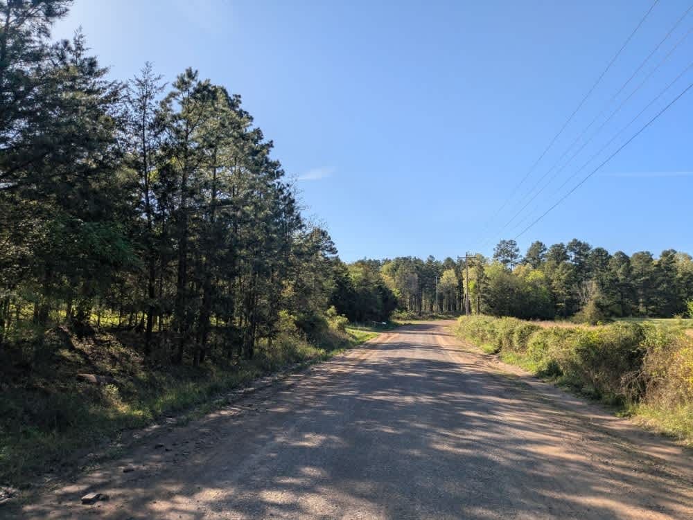
Full-Width Road
Accessible By
Trail Overview
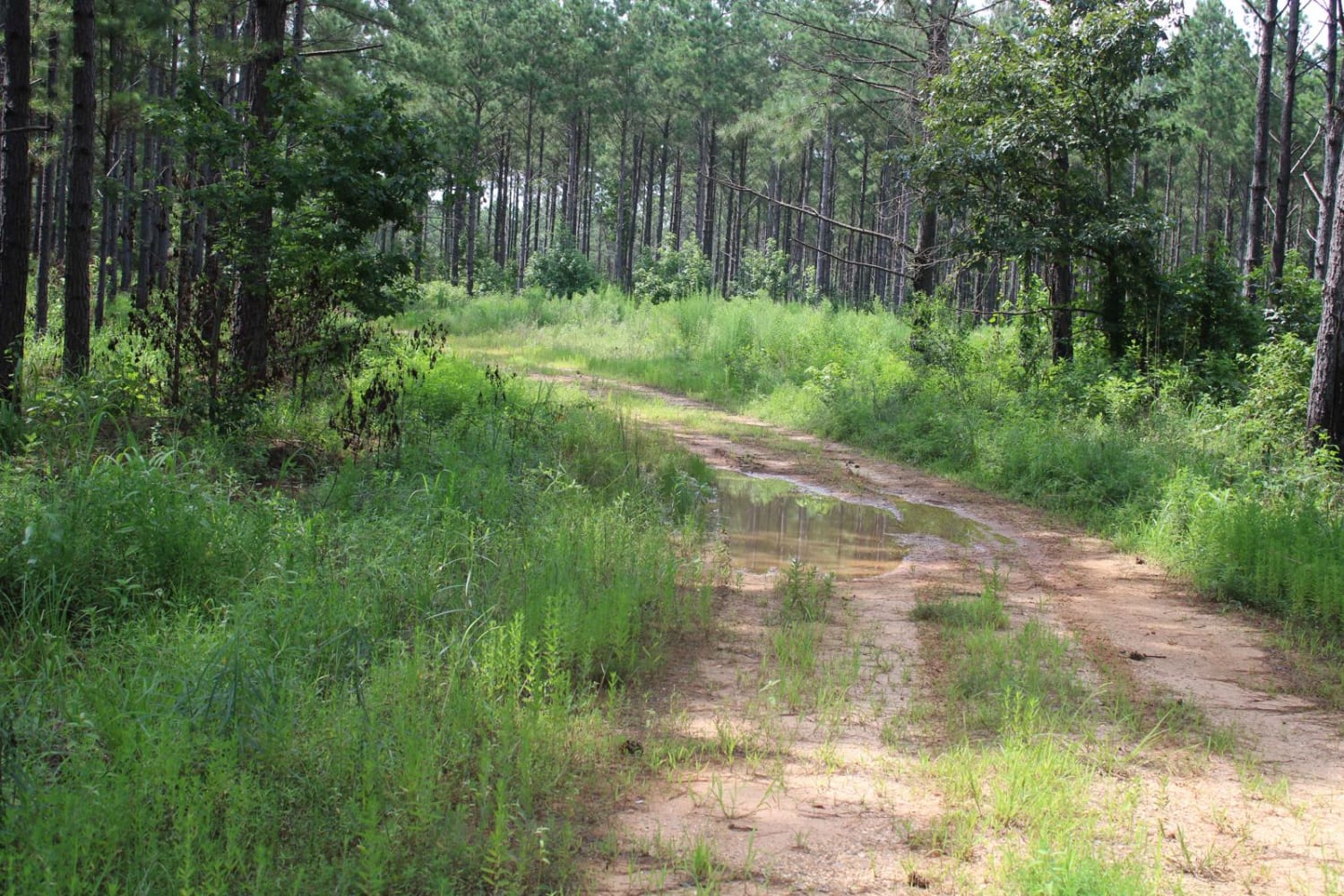
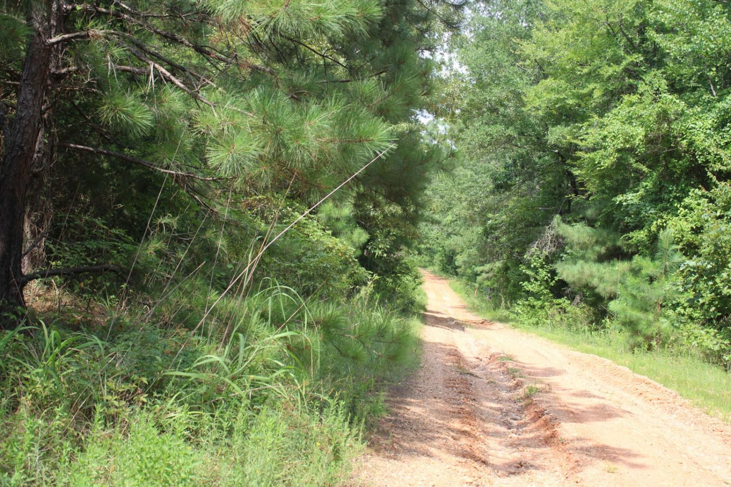
Nacatoch Ravines Natural Area protects a continuum of plant communities that occur along the transition from the upland blackland prairies to the low bottomlands along the Little River. It contains one of the largest, and most intact, examples of mesic (moderately moist), dry-mesic, and dry upland forests remaining in the northern part of the Coastal Plain. Through much of the site, canopy trees average 2 to 3 feet or more in diameter, with many larger individual trees. It also includes blackland prairie remnants, hardwood flatwoods, and wooded seeps, and supports several rare plant species. The Nature Conservancy (TNC) shares ownership of portions of this area. Specific types of hunting are allowed in this natural area. For details, see the Nacatoch Ravines Natural Area WMA listing in the current Arkansas Hunting Guidebook. Take all necessary safety precautions when visiting this area. Roads are dirt with some gravel. Ruts and mud can be present and cause issues with low-clearance vehicles. At times, a gate could be closed.
Photos of Hempstead Road 421
Difficulty
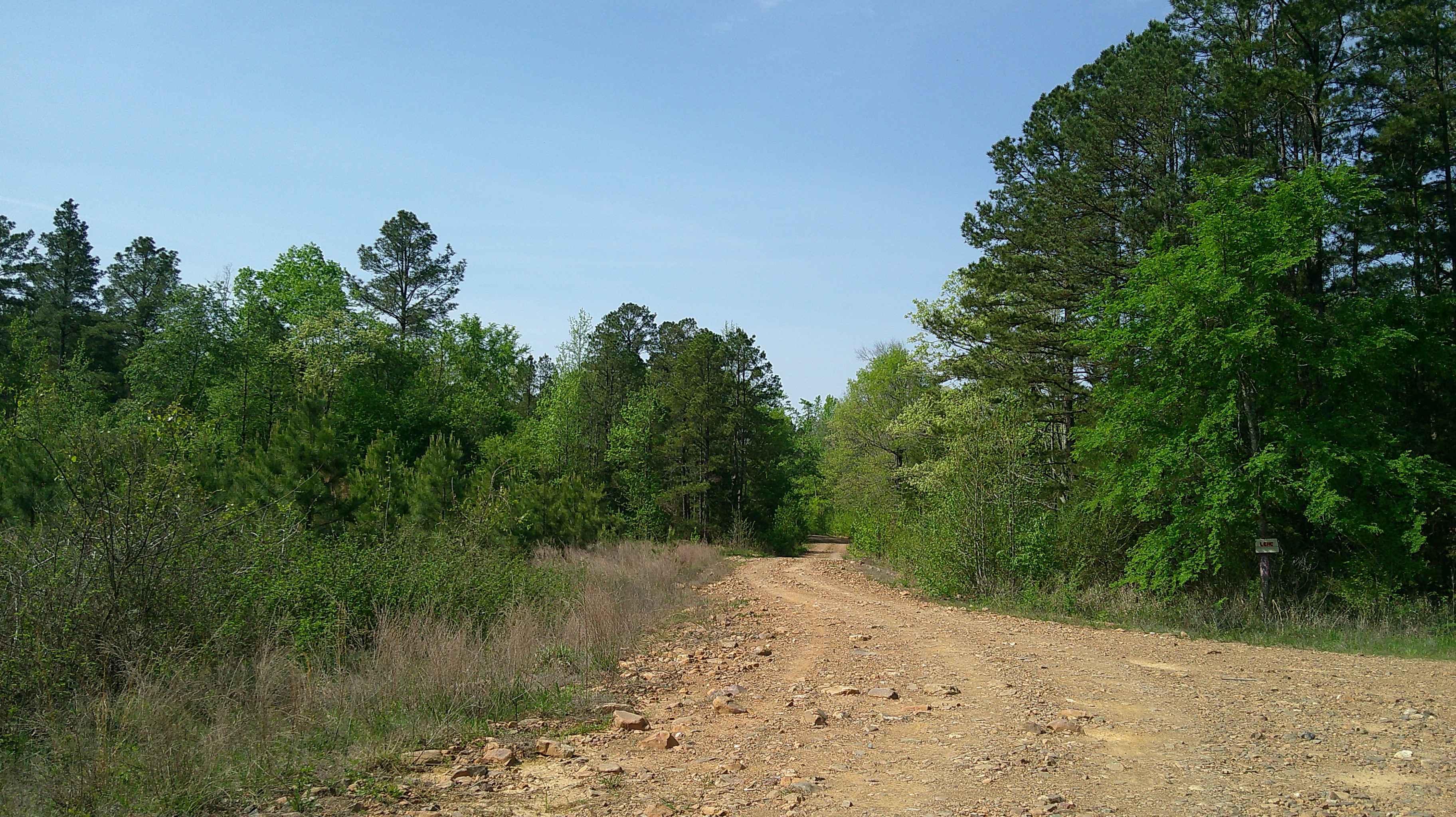
You will encounter narrow dirt roads that can be rutted and muddy when wet.
Status Reports
Hempstead Road 421 can be accessed by the following ride types:
- High-Clearance 4x4
- SUV
Hempstead Road 421 Map
Popular Trails
Eagle Gap Road

J15 King Cobra
White Oak Mountain Rd
The onX Offroad Difference
onX Offroad combines trail photos, descriptions, difficulty ratings, width restrictions, seasonality, and more in a user-friendly interface. Available on all devices, with offline access and full compatibility with CarPlay and Android Auto. Discover what you’re missing today!