Eagle Gap Road
Total Miles
5.9
Technical Rating
Best Time
Summer, Winter, Spring, Fall
Trail Type
Full-Width Road
Accessible By
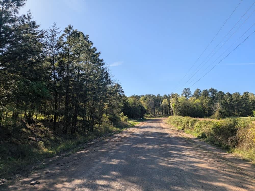
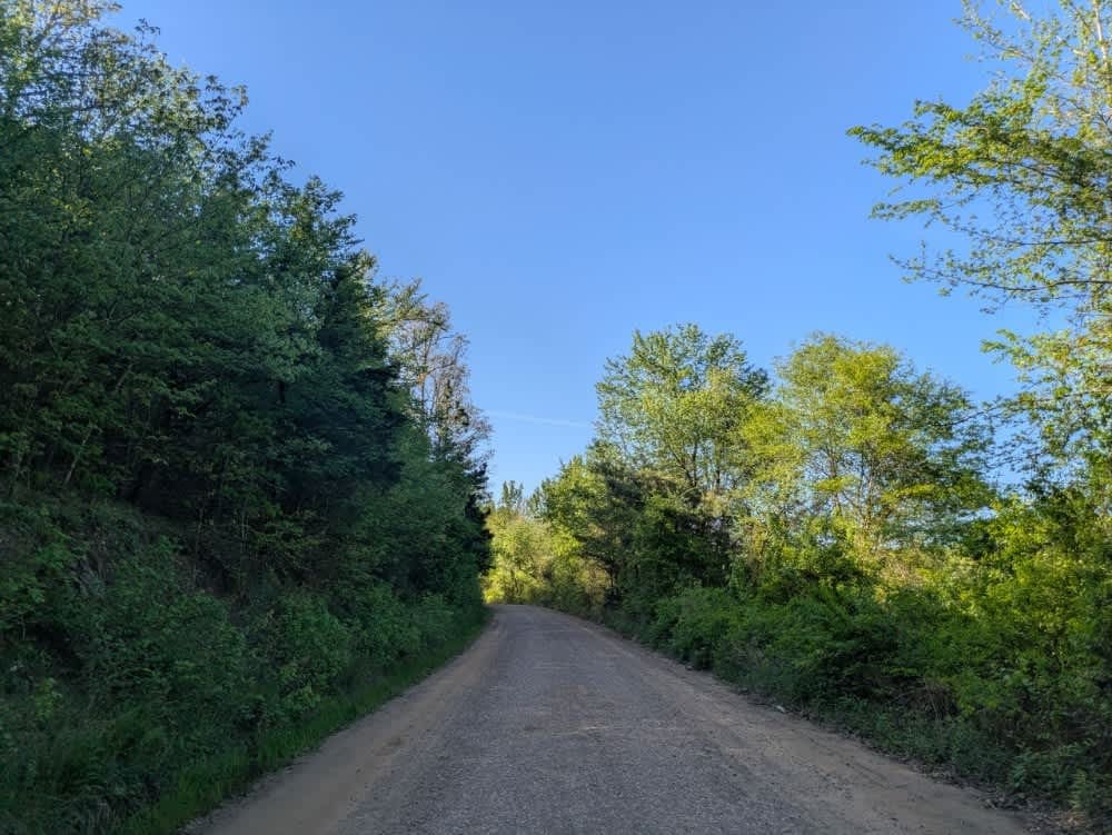
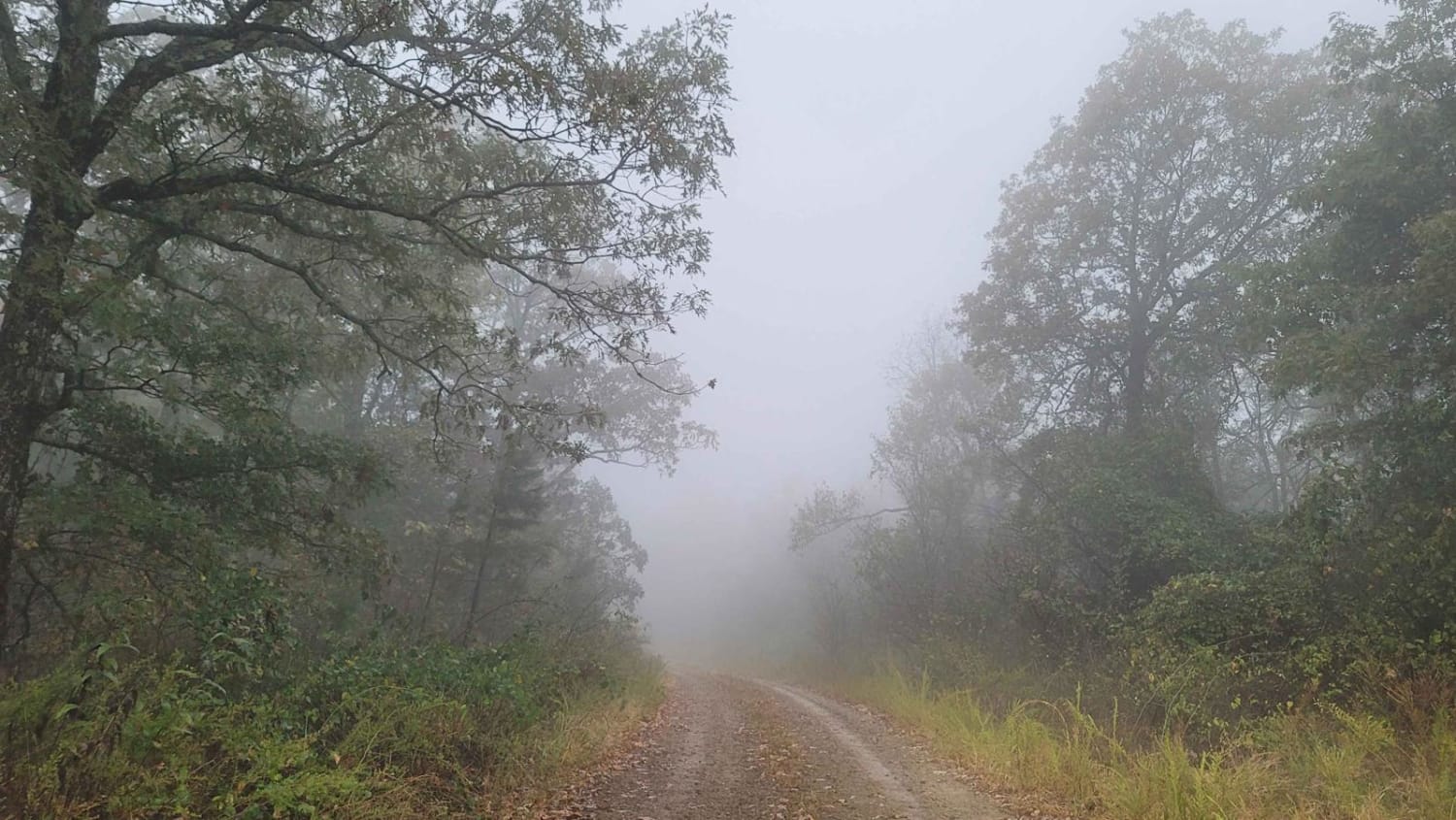
Trail Overview
This trail is a relatively wide gravel route that can be rough in sections due to potholes and exposed rocks, the result of frequent rainfall and regular use by local landowners. It crosses several shallow streams and offers a scenic drive through forested terrain, eventually connecting to or from the river along the Ritz Trail. While the natural surroundings make for an enjoyable journey, opportunities for dispersed camping are limited. Travelers should be aware that the trail lacks basic services such as trash disposal and a potable water source, and cell phone reception is generally poor throughout the area.
Photos of Eagle Gap Road
Difficulty
This is a well-maintained trail that runs alongside a creek and then enters an area where there are a few ranches.
Status Reports
Eagle Gap Road can be accessed by the following ride types:
- High-Clearance 4x4
- SUV
- SxS (60")
- ATV (50")
- Dirt Bike
Eagle Gap Road Map
Popular Trails

F20 Exit Trail


High Mountain Loop - North
The onX Offroad Difference
onX Offroad combines trail photos, descriptions, difficulty ratings, width restrictions, seasonality, and more in a user-friendly interface. Available on all devices, with offline access and full compatibility with CarPlay and Android Auto. Discover what you’re missing today!