Waterway Trail
Total Miles
0.4
Technical Rating
Best Time
Fall
Trail Type
60" Trail
Accessible By
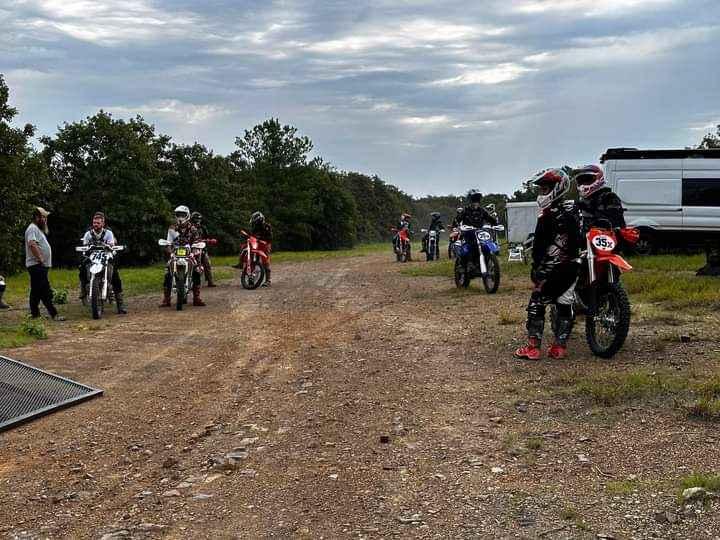
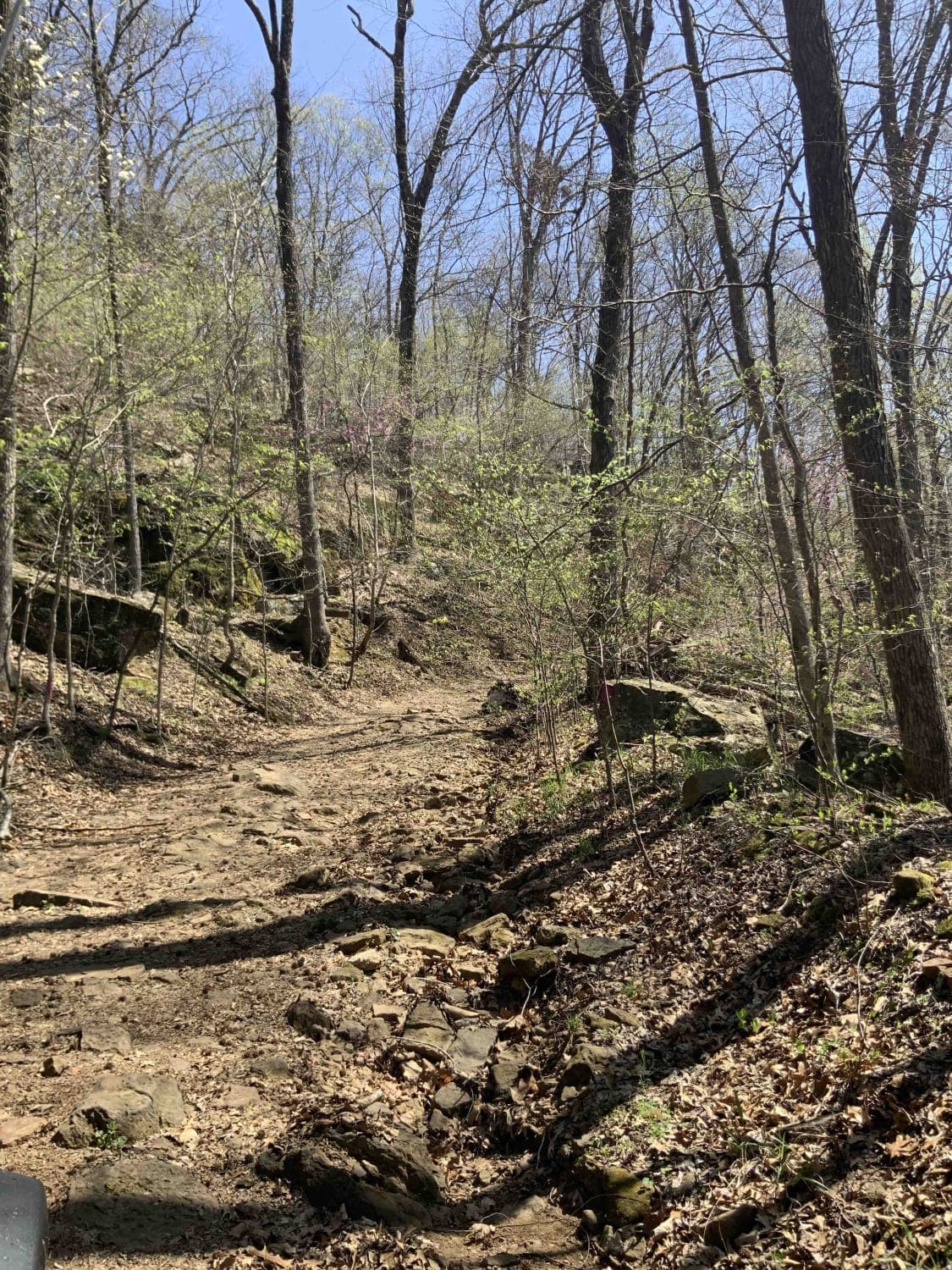
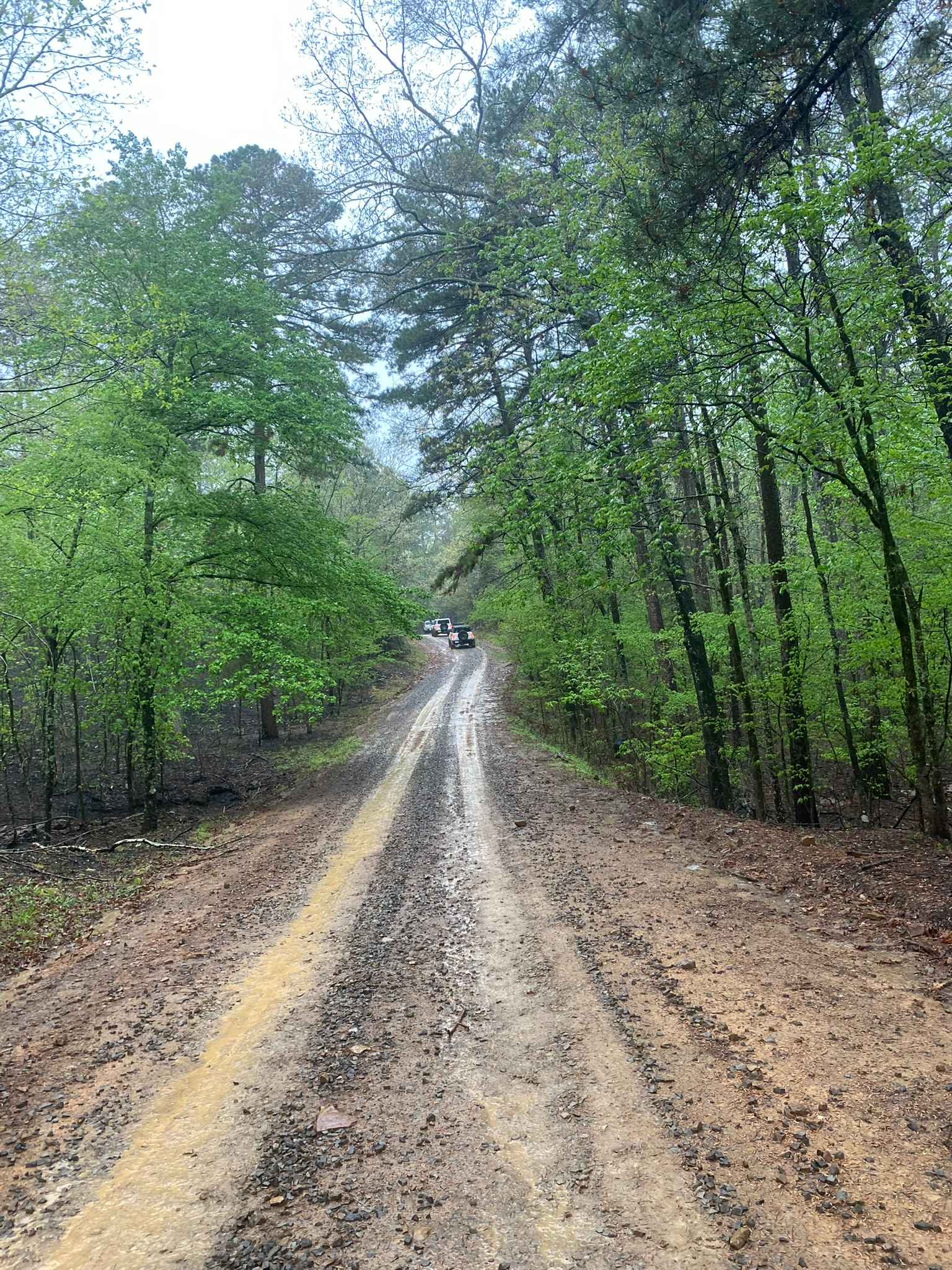
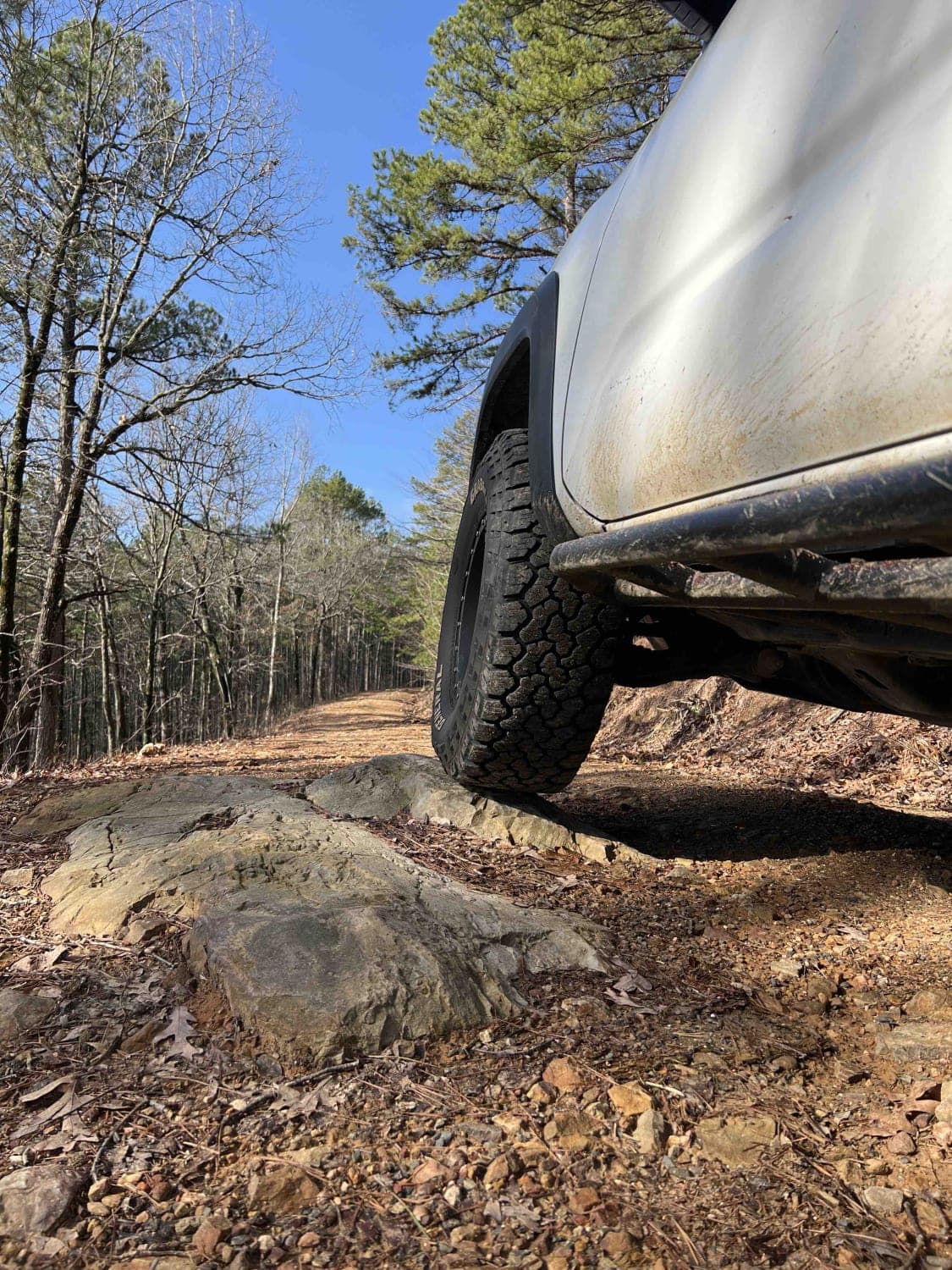
Trail Overview
Check in at the office before riding. Currently, this trail holds a lot of water when the lake rises after rain. It will remain closed except in case of emergency or in the summer when lake levels are lower and the mudholes dry up. 5ST does intersect with this trail multiple times and crossing at those points is acceptable. Near-future plans include diverting water and making this trail useable for all vehicles. Please stick to the Main Trail to navigate the park east/west when needed.
Photos of Waterway Trail

Difficulty
It's a basic dirt road, but does have a couple of ruts and holes that can put a small (kid-size) ATV in awkward angles. When lake levels are high or there has been significant rain, this trail will be closed.
Status Reports
Waterway Trail can be accessed by the following ride types:
- SxS (60")
- ATV (50")
- Dirt Bike
Waterway Trail Map
Popular Trails
Warloop Road - 1567a
Little Bigger Road
North Fork Road 86
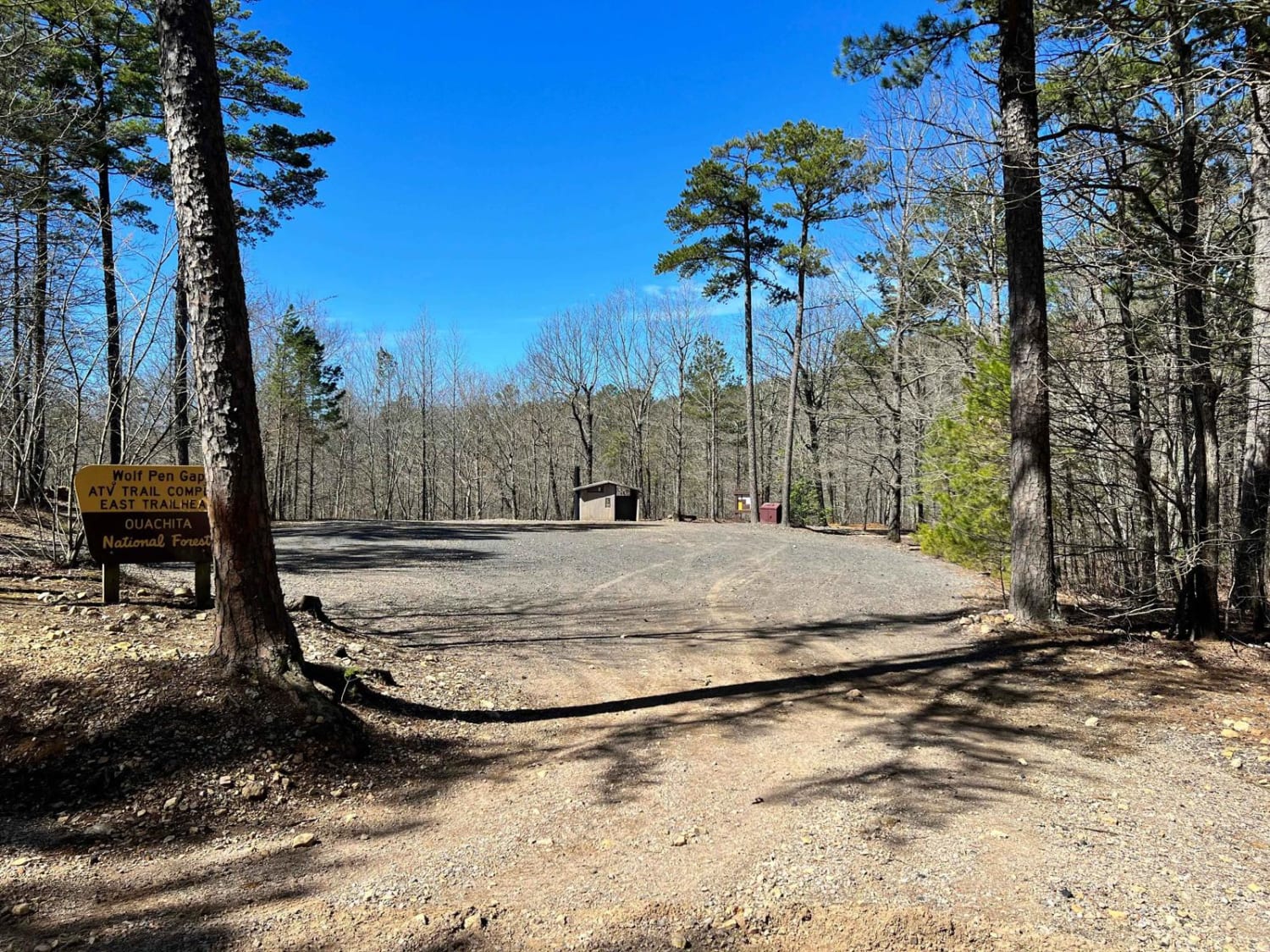
Wolf Pen Gap South Trail Head
The onX Offroad Difference
onX Offroad combines trail photos, descriptions, difficulty ratings, width restrictions, seasonality, and more in a user-friendly interface. Available on all devices, with offline access and full compatibility with CarPlay and Android Auto. Discover what you’re missing today!