North Fork to Gladstone
Total Miles
8.0
Technical Rating
Best Time
Spring, Summer, Fall, Winter
Trail Type
Full-Width Road
Accessible By
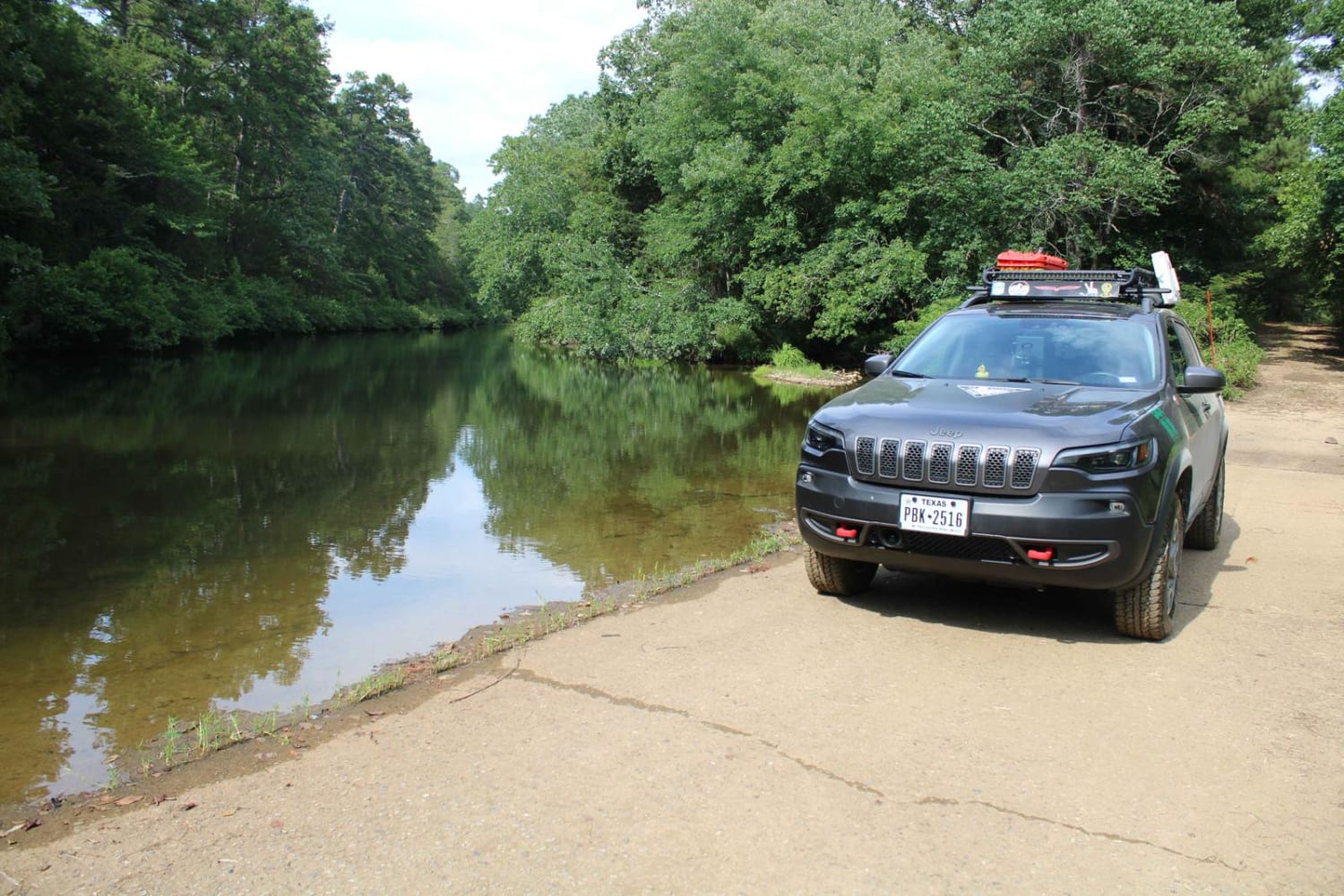
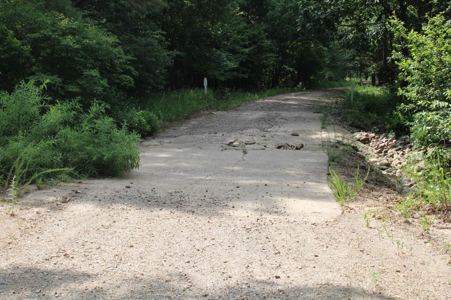
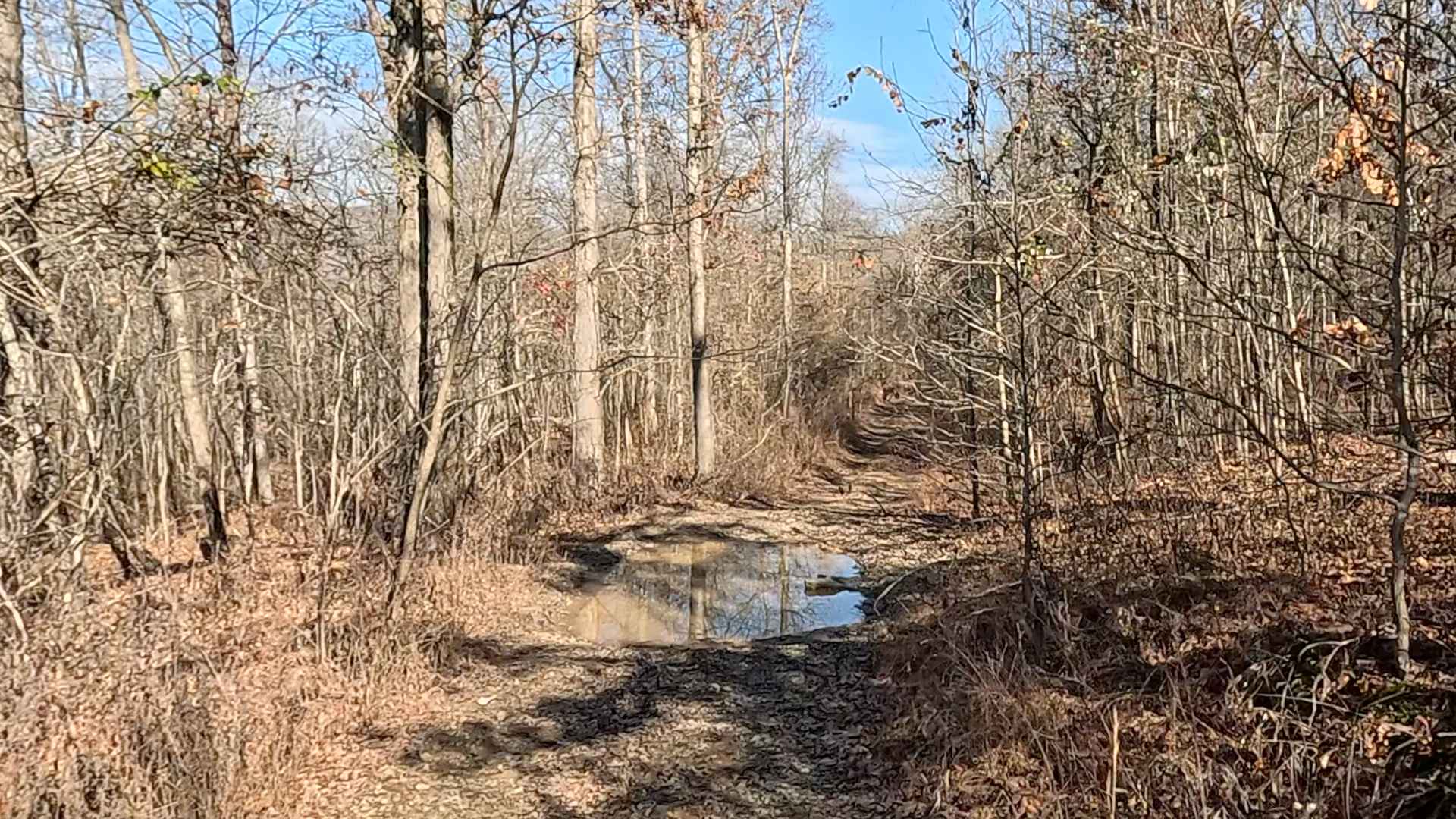
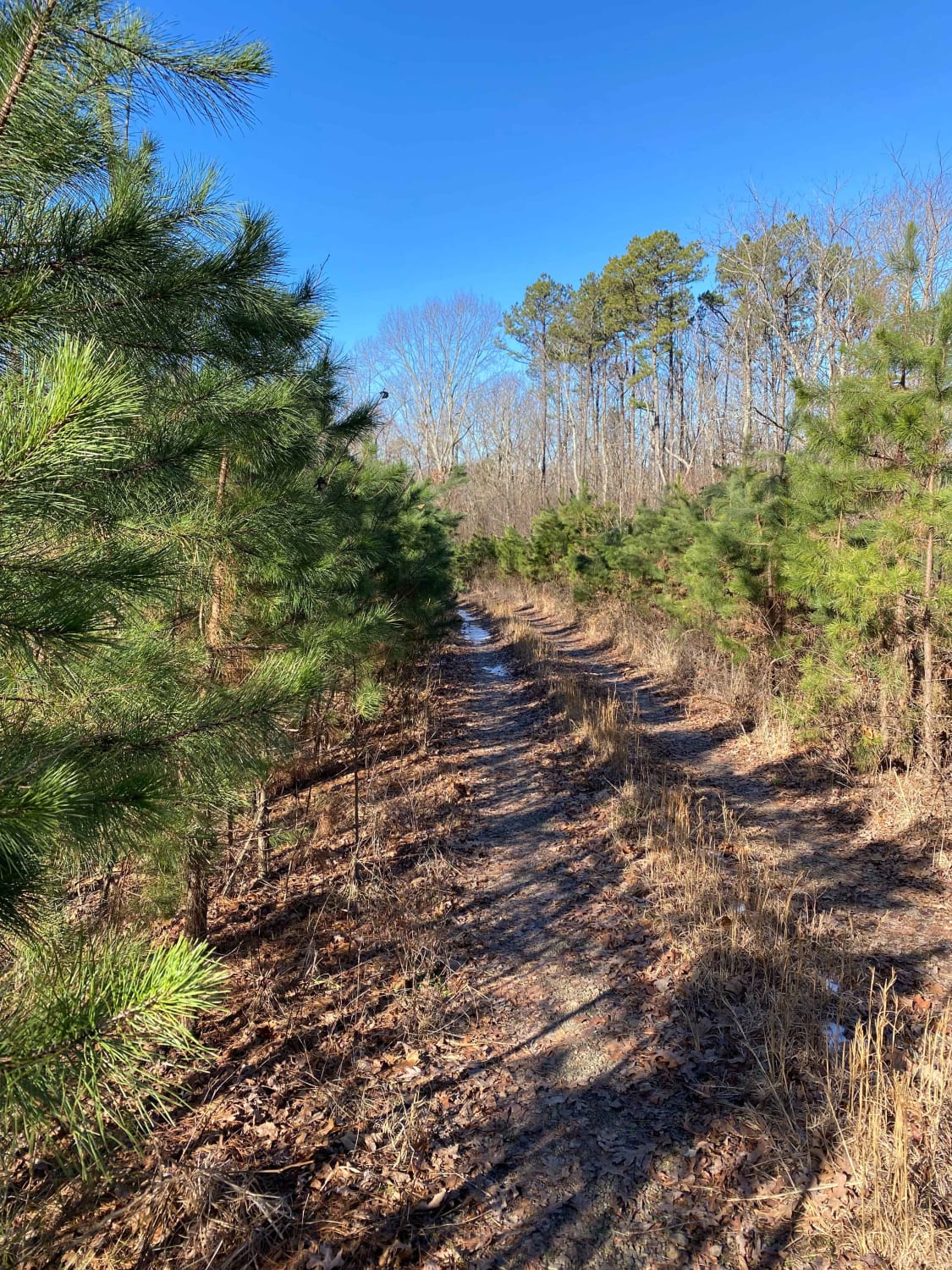
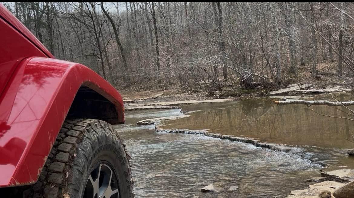
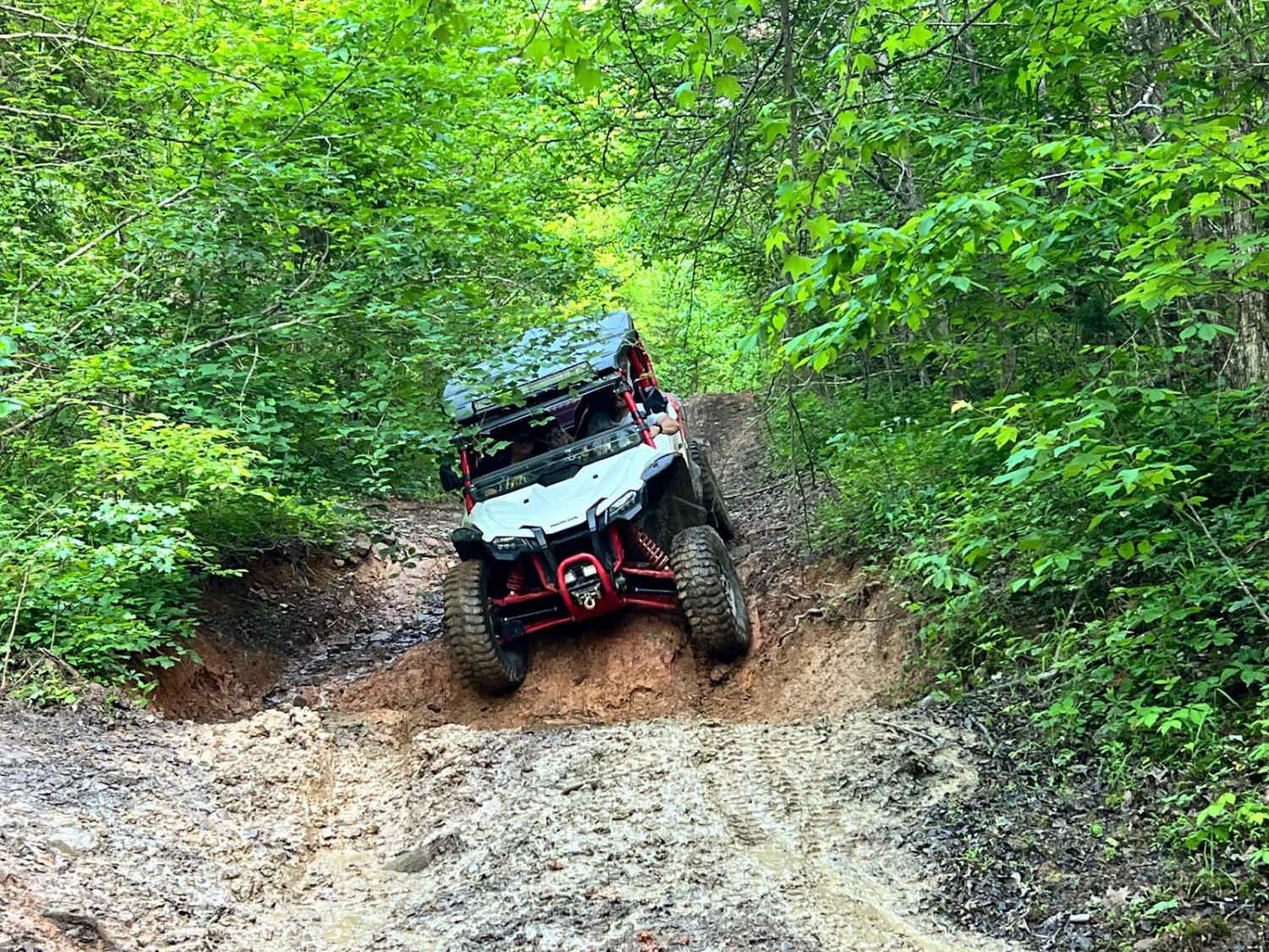
Trail Overview
This trail picks up from Ouachita Pinnacle 1952 FT Trail. This trail starts out as a maintained gravel road that can have water crossings if the creeks are flowing. This is very dusty when dry and can be slippery when wet. A two-track trail begins off the left and is very rough. It is an unnamed RD that is two miles long. You can skip this part if pinstriping is not allowed. It has deep ruts, can be muddy and is narrow. A couple of nice camping spots are along this trail.
Photos of North Fork to Gladstone
Difficulty
Rate of 4 is given if you do the two track that's at the end of this trail. The main road section is a 1. The main road is a maintained gravel road that can have water crossing if the creeks are flowing. Ground clearance is nice. The two track has deep ruts, can be muddy when wet and pinstriping will happen.
Status Reports
North Fork to Gladstone can be accessed by the following ride types:
- High-Clearance 4x4
- SUV
North Fork to Gladstone Map
Popular Trails
Hanging Rock Hollow Spur - FS 94669
Middle Fork Illinois Bayou
Delaney Creek Trail FS1517
The onX Offroad Difference
onX Offroad combines trail photos, descriptions, difficulty ratings, width restrictions, seasonality, and more in a user-friendly interface. Available on all devices, with offline access and full compatibility with CarPlay and Android Auto. Discover what you’re missing today!