F20 Exit Trail
Total Miles
0.3
Technical Rating
Best Time
Spring, Fall, Summer, Winter
Trail Type
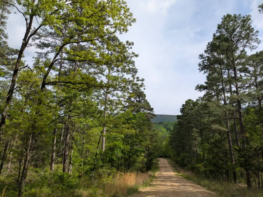
Full-Width Road
Accessible By
Trail Overview
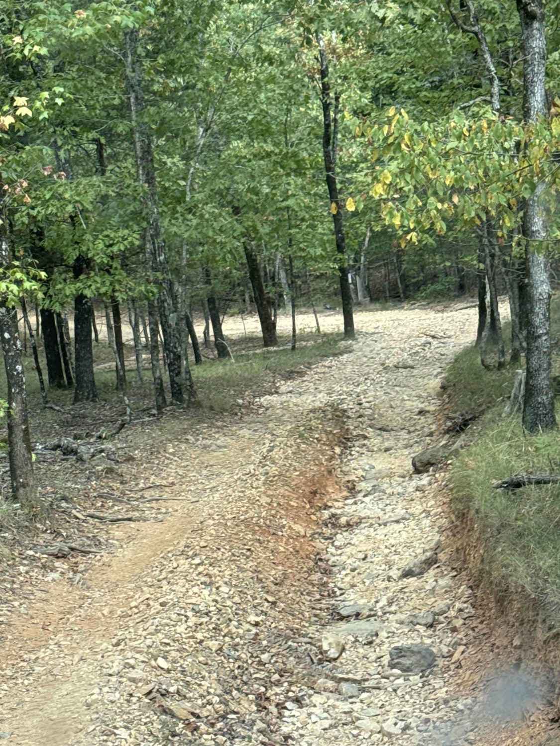
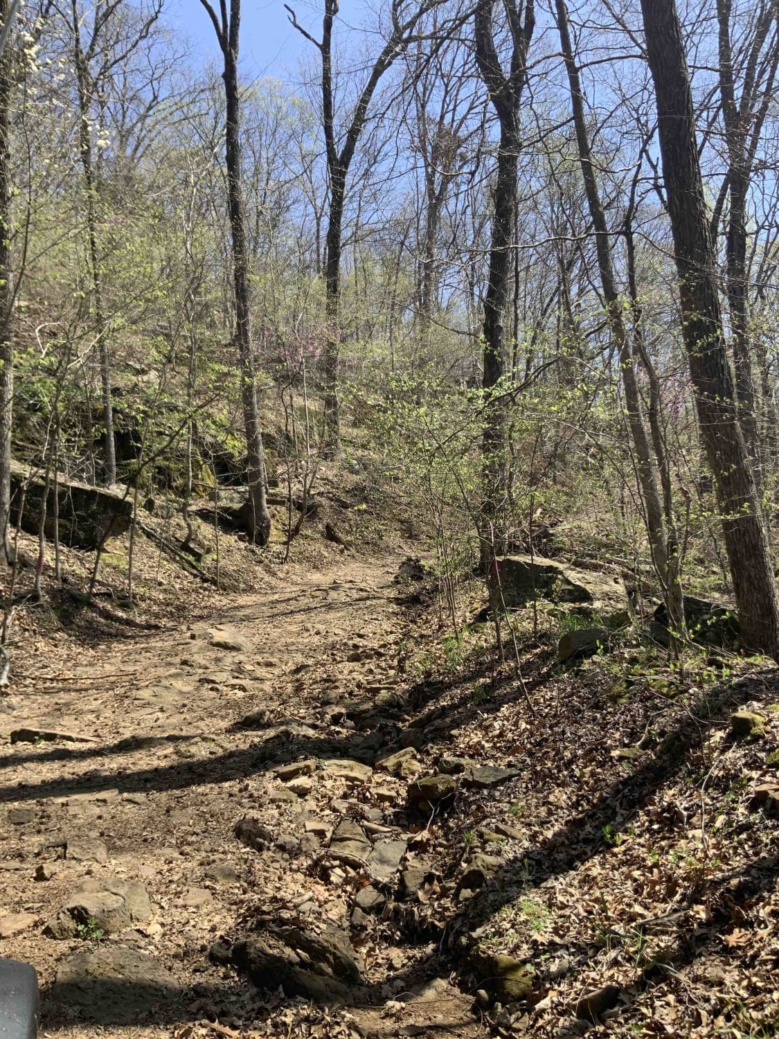
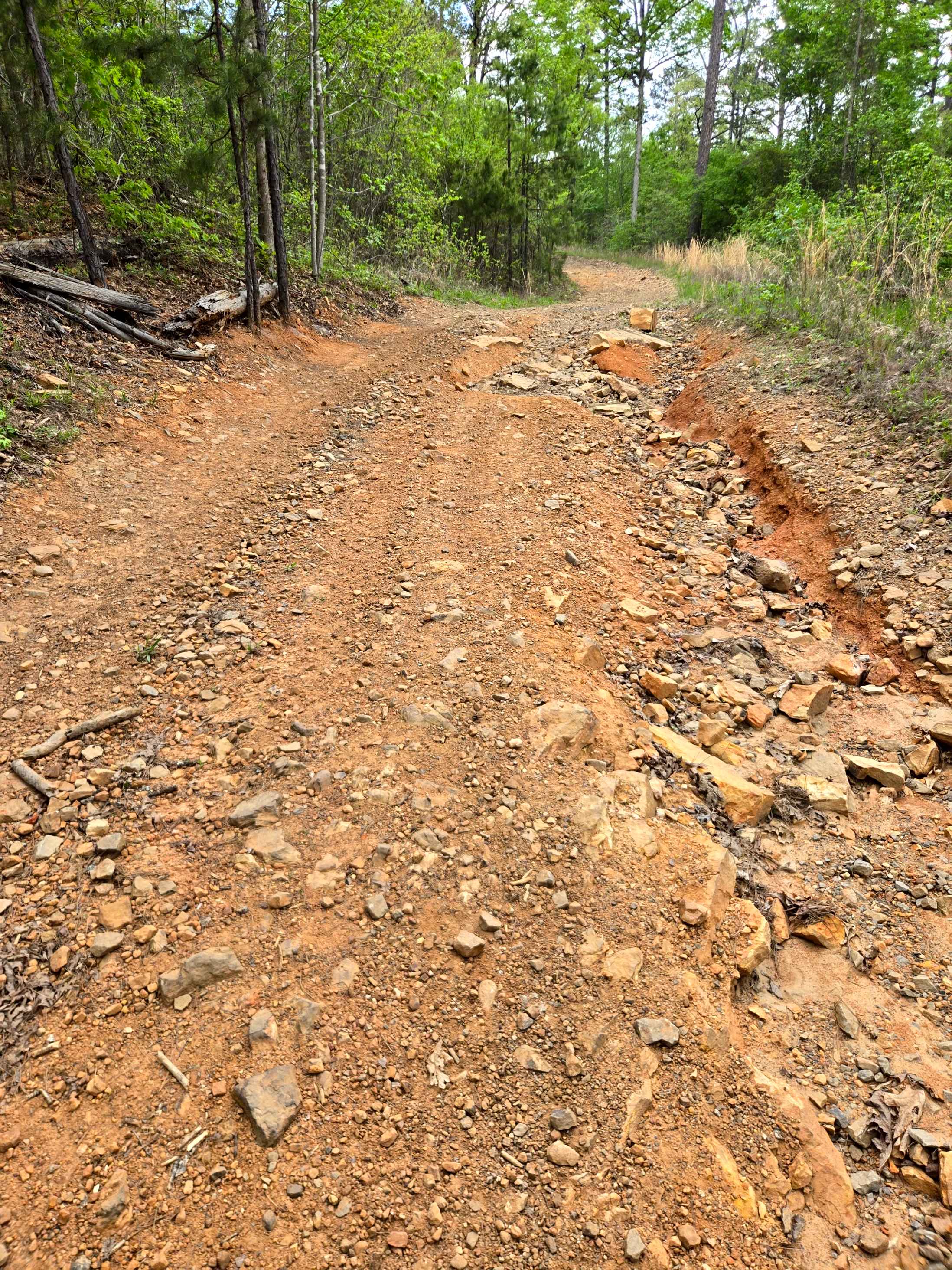
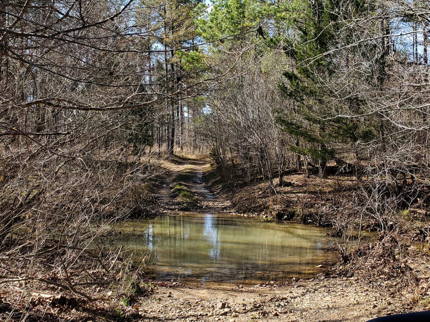
Once you are done with either the Ravine or Gorge this trail will be the way to get back to the Lake Winder trail which you can use to access other trails. The trail is fairly easy with loose rock and a slow decline. Just don't be too heavy on the brakes and let the engine do the work.
Photos of F20 Exit Trail

Difficulty
You will not encounter water crossings, only loose rocks that are about 2-3" in diameter.
Status Reports
F20 Exit Trail can be accessed by the following ride types:
- High-Clearance 4x4
- SUV
F20 Exit Trail Map
Popular Trails
Warloop Road - 1567a
Green Bench Road
Ritter Road
The onX Offroad Difference
onX Offroad combines trail photos, descriptions, difficulty ratings, width restrictions, seasonality, and more in a user-friendly interface. Available on all devices, with offline access and full compatibility with CarPlay and Android Auto. Discover what you’re missing today!