Hollis Trail 174
Total Miles
6.8
Technical Rating
Best Time
Spring, Summer, Fall, Winter
Trail Type
High-Clearance 4x4 Trail
Accessible By
Trail Overview
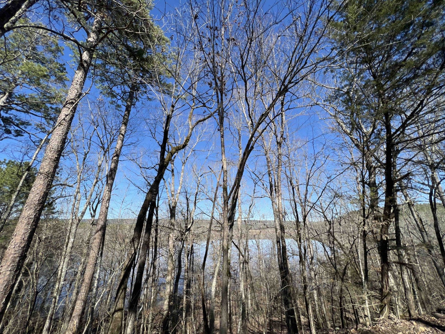
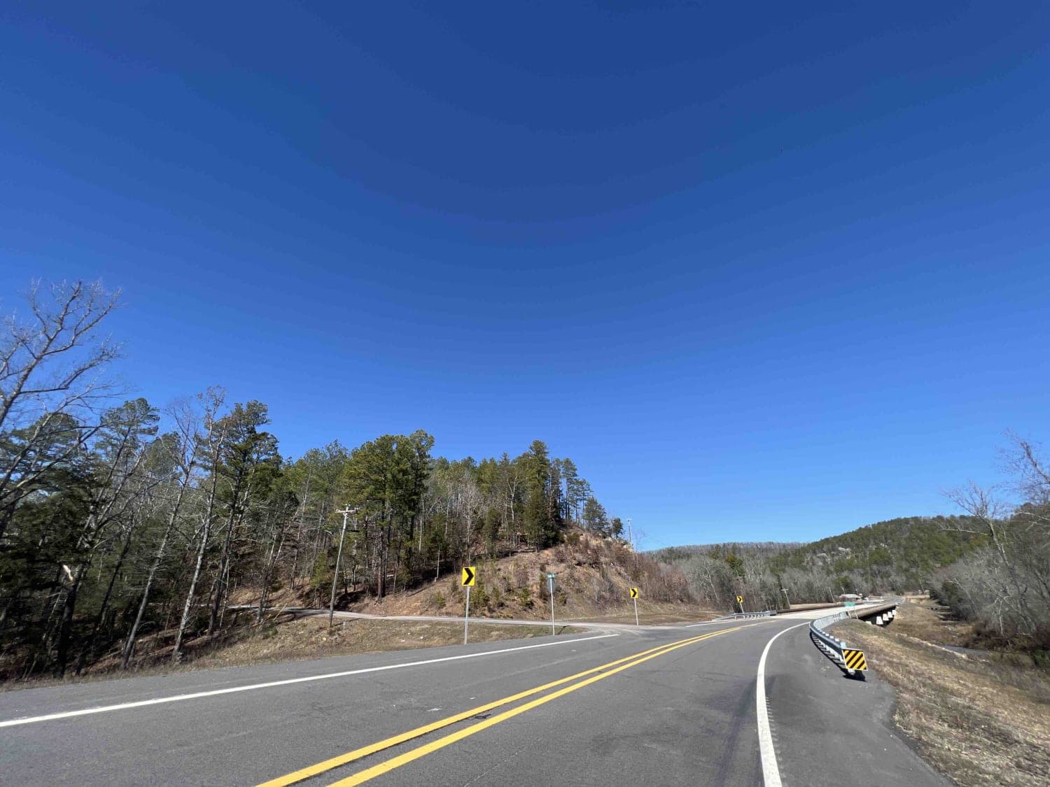
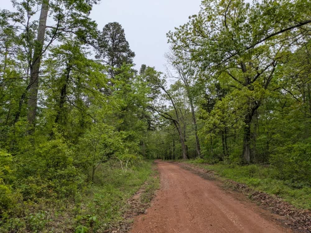
This route takes you mostly through privately owned property, however, the reward at the end is worth it all. It's a short 7-mile route to the South Fourche LaFave Watershed where there are trails that lead you down to the bank. Kayaking, canoes, and nonmotorized boats are allowed in this area. I definitely don't suggest low clearance vehicles as I bottomed out in one of the sections as there are high channels in the middle which is large gravel (quarter minus) and mud. There are areas along this route that are ONF but I didn't see any existing camping spots along the way. There are lots of creeks and areas to pull off and have lunch along the way. Note--- This trail dead ends on someone's private property.
Photos of Hollis Trail 174
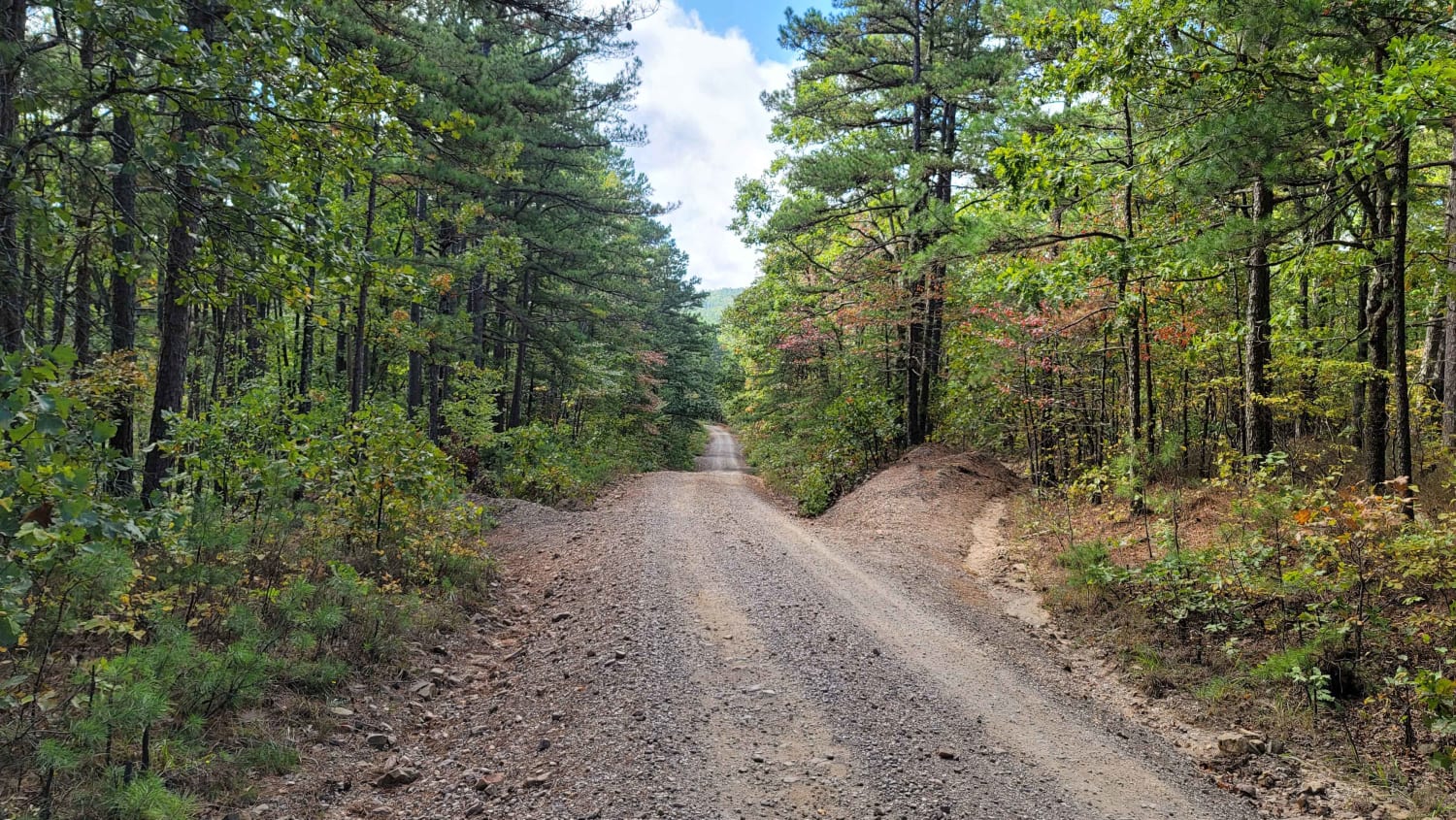
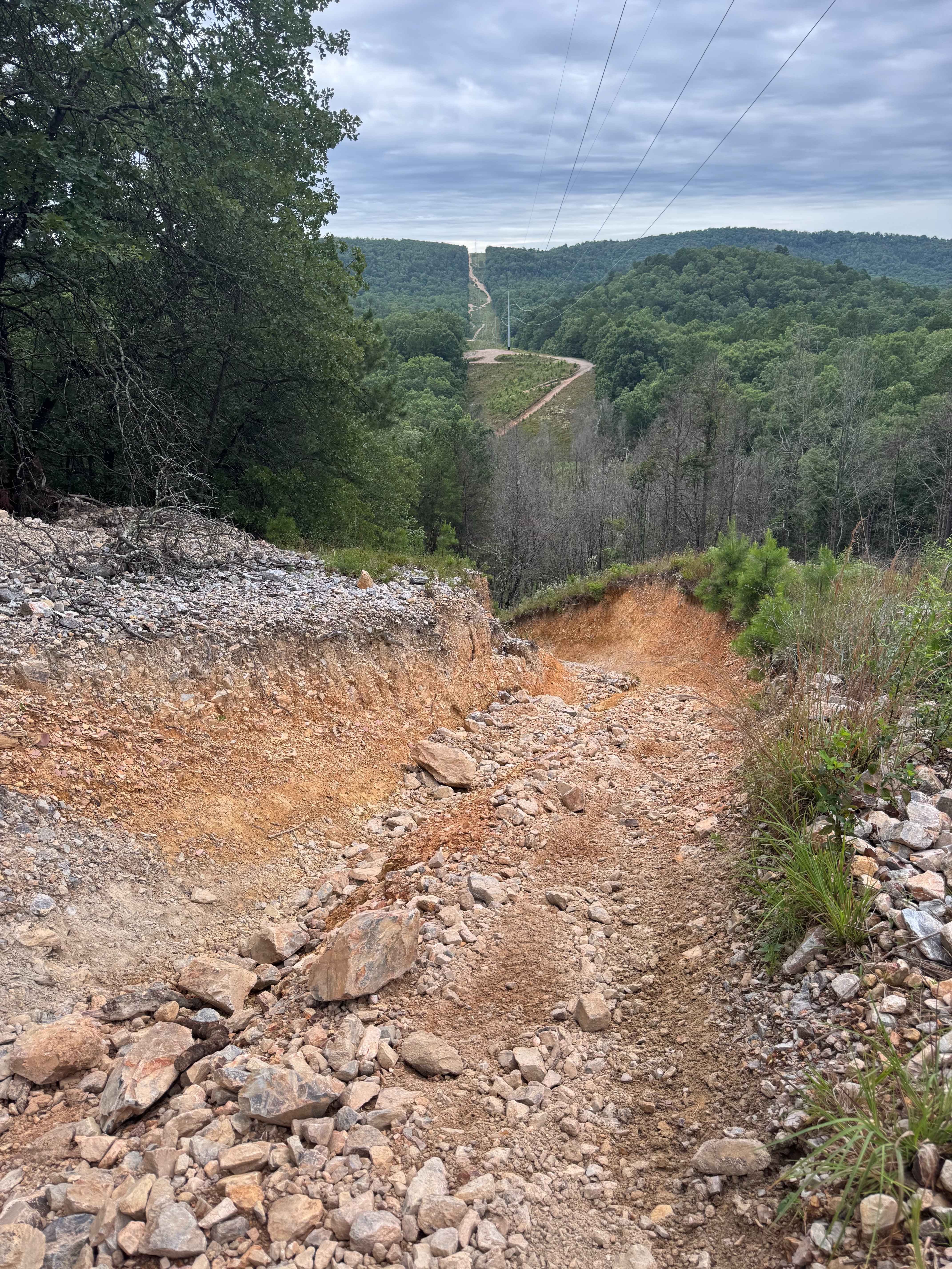
Difficulty
Expect tall channels in the middle of the road that consist of large gravel and mud. 4x4 is recommended.
Status Reports
Hollis Trail 174 can be accessed by the following ride types:
- High-Clearance 4x4
- SxS (60")
- ATV (50")
- Dirt Bike
Hollis Trail 174 Map
Popular Trails
South Forche to Forked Mountain

Kane's Spring
H14 The Shoot
The onX Offroad Difference
onX Offroad combines trail photos, descriptions, difficulty ratings, width restrictions, seasonality, and more in a user-friendly interface. Available on all devices, with offline access and full compatibility with CarPlay and Android Auto. Discover what you’re missing today!