The Arkansas Overland Route - TrailHawk Loop - Section 20
Total Miles
5.6
Technical Rating
Best Time
Spring, Summer, Fall, Winter
Trail Type
Full-Width Road
Accessible By
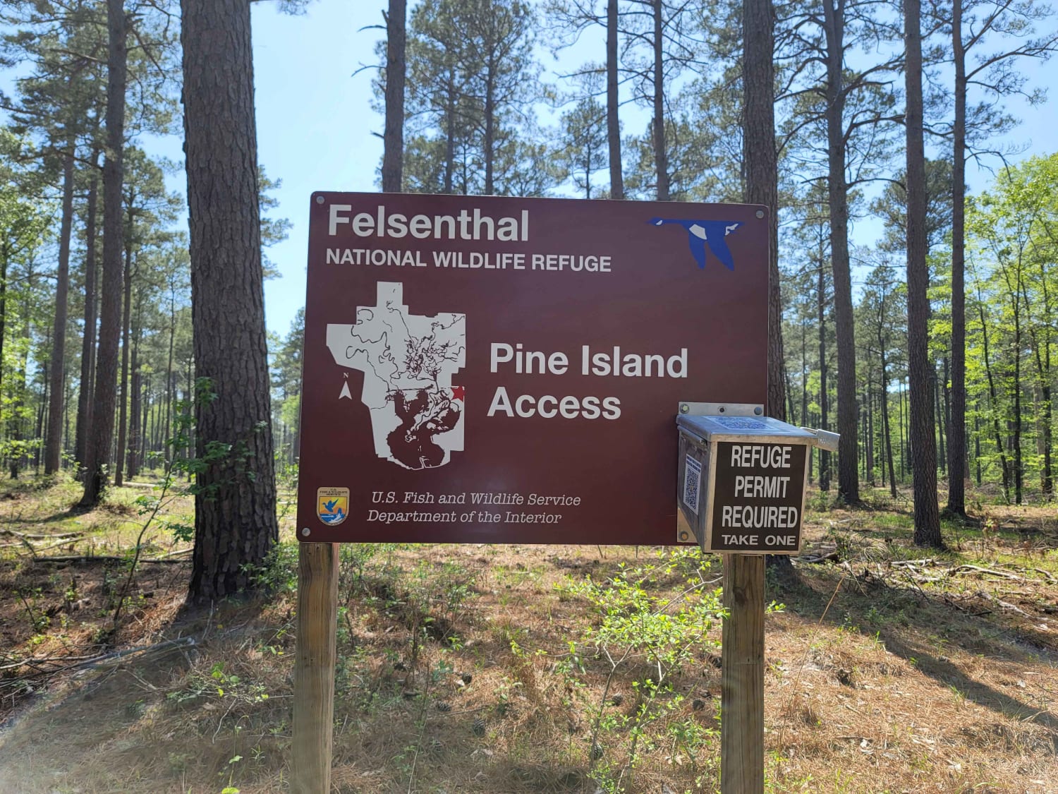
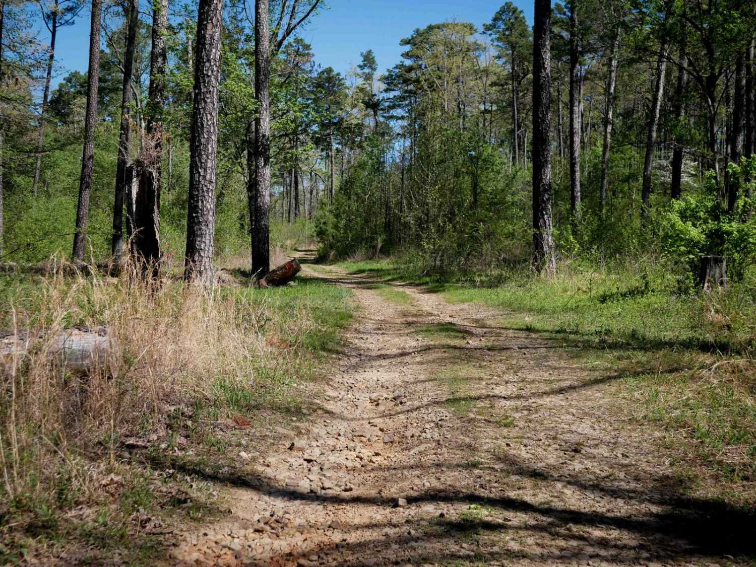
Trail Overview
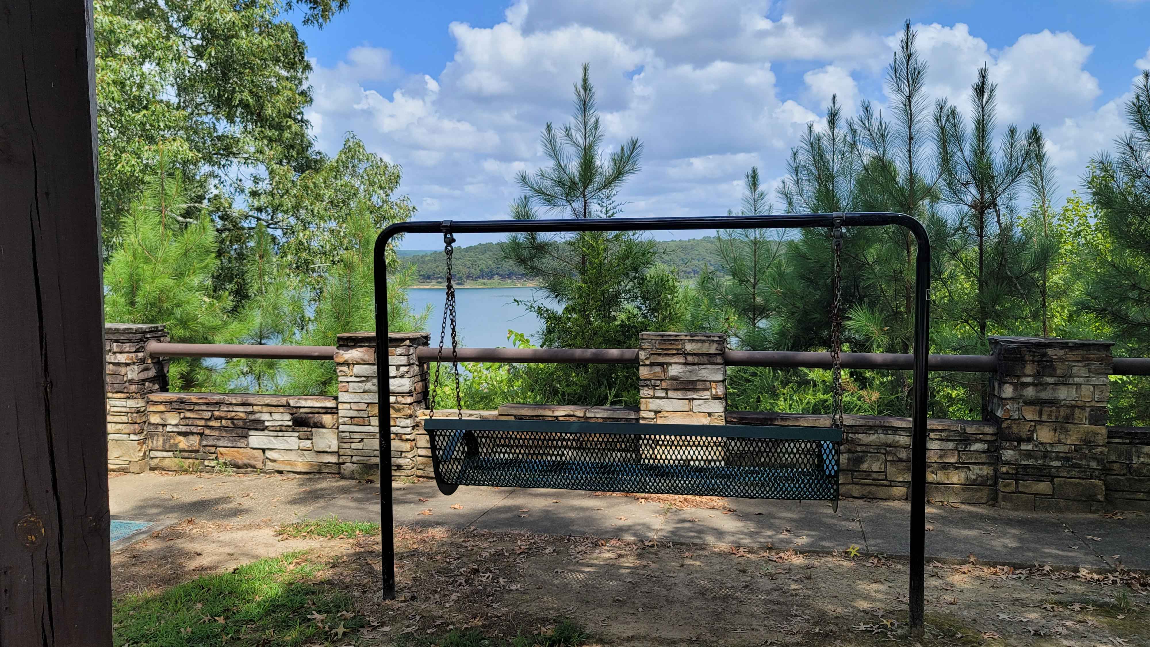
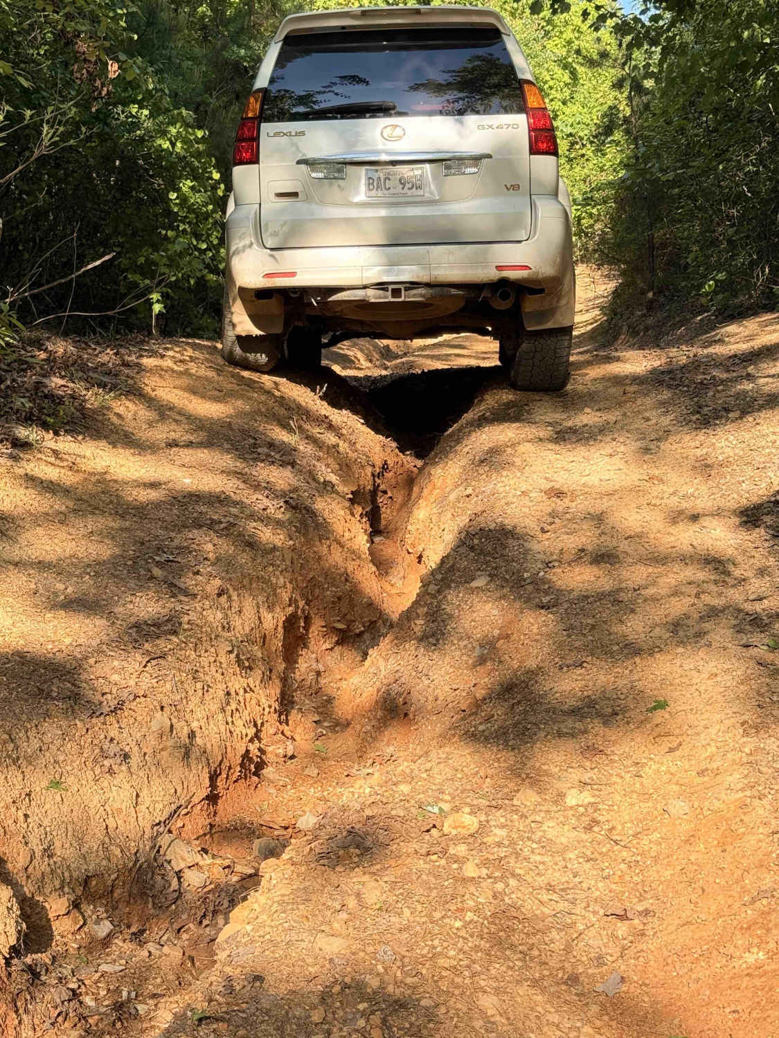
These are gravel and dirt roads that can be muddy and have ruts when wet. This route goes to the Pine Island Boat Ramp and Recreation Area. Some areas of the road could flood, so travel with caution. Some mud holes can be deep enough to cause front-end damage if hit too fast. There is water access to launch a kayak or boat.
Photos of The Arkansas Overland Route - TrailHawk Loop - Section 20

Difficulty
This trail has mud holes, slick conditions when wet, and possible flooded sections.
Status Reports
The Arkansas Overland Route - TrailHawk Loop - Section 20 can be accessed by the following ride types:
- High-Clearance 4x4
- SUV
The Arkansas Overland Route - TrailHawk Loop - Section 20 Map
Popular Trails

Bear Hollow - Trail 1627
Gillham Dam And Cossatot Reefs Campground
Dripping Springs
The onX Offroad Difference
onX Offroad combines trail photos, descriptions, difficulty ratings, width restrictions, seasonality, and more in a user-friendly interface. Available on all devices, with offline access and full compatibility with CarPlay and Android Auto. Discover what you’re missing today!