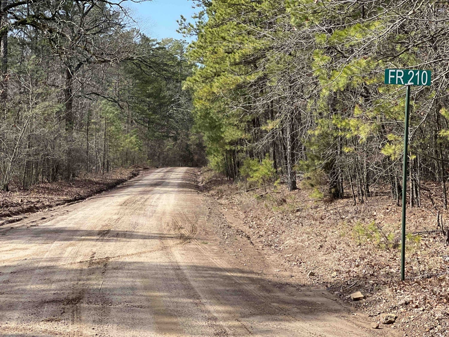
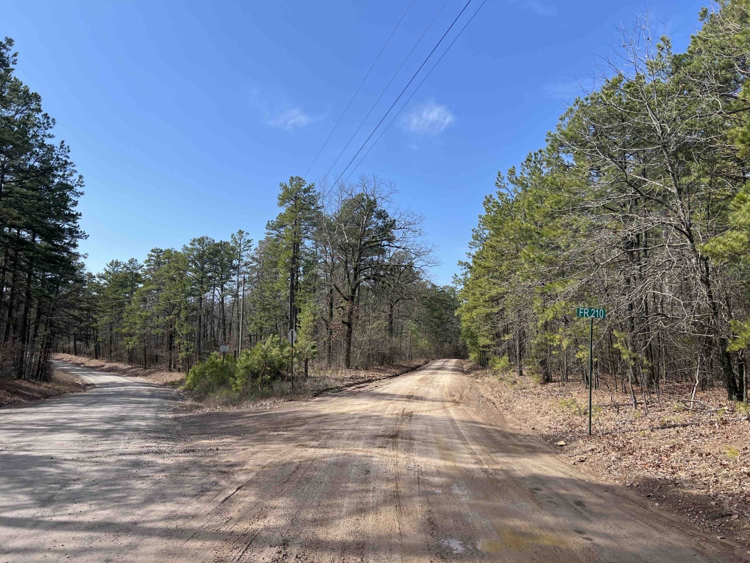
Link Mountain Road 210
Total Miles
14.3
Technical Rating
Best Time
Spring, Fall, Winter, Summer
Trail Type
High-Clearance 4x4 Trail
Accessible By
Trail Overview
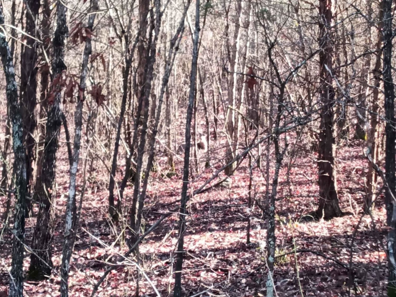
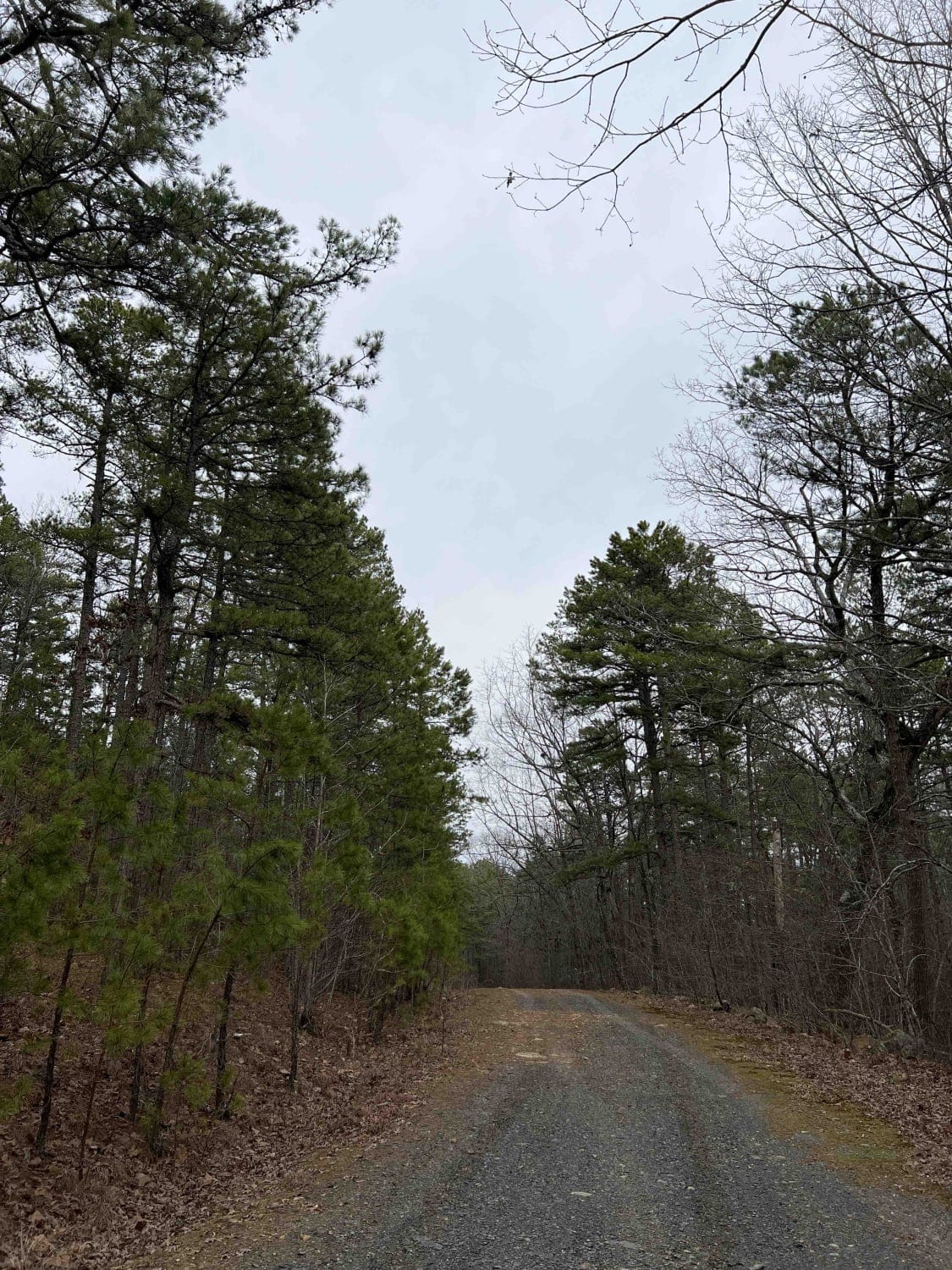
Starting the trail to the east, it's an easy gravel road for the first 5 miles or so. Then it turns into a muddy mess with high ruts in the middle which make it hard for a low clearance vehicle to make it through certain sections. You can see this in the photo at mile 5.9. There are some really great campsites along this route, some with views for miles. We ended up camping at one of them which was a nice end to a long day of off-roading. Do be careful as I saw several deer which crossed the road in front of us in several spots on this route, so I have marked these areas on the trail as well. At about mile marker 12, the road deteriorates into a washed-out road which is very technical but fun to navigate. I have a three-inch lift on thirty-three's and I was able to navigate it without any issues in four low. At the very end of the trail are the South Fourche LaFave River and a campsite with a fire ring. Due to the high river, we decided to not risk camping there due to the potential of rising water. Arkansas is known for flash flooding so do be careful that you don't camp too close to rivers and streams. The campsite at the end would be best during the spring and early summer this would be a great camping location. All in all, it was a very fun road to explore and navigate, and would be great with a group of friends. Lots of area at the end to turn around to head back. I would keep it small in group size no more than 6 rigs at the bottom.
Photos of Link Mountain Road 210
Difficulty
The last two miles of this road are all washed-out. There are very deep ruts that require 4L and high clearance, damage to the differential is possible. Experienced drivers are suggested.
History
The South Fourche LaFave River was named after a family LaFeve, Fourche meaning fork in the river. French colonized this area as early as 10,000 B.C. In the 1800's South Fourche LaFave River was used to haul fir and traded goods down the river. https://encyclopediaofarkansas.net/entries/fourche-la-fave-river-6247/
Status Reports
Link Mountain Road 210 can be accessed by the following ride types:
- High-Clearance 4x4
- SxS (60")
- ATV (50")
- Dirt Bike
Link Mountain Road 210 Map
Popular Trails
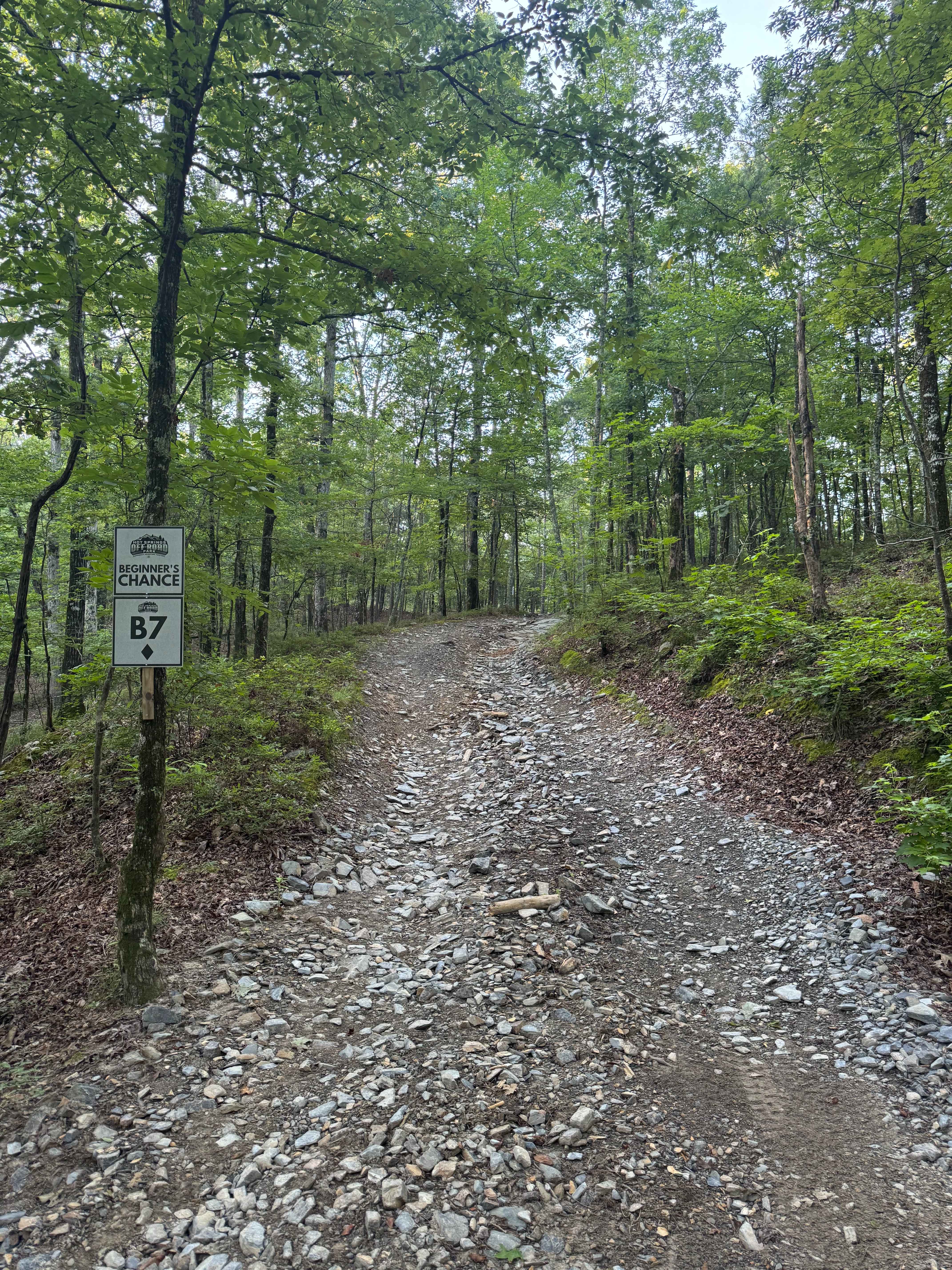
B7 Beginner's Chance

Compass Canyon F41
Bear Creek Mountain Road 773
The onX Offroad Difference
onX Offroad combines trail photos, descriptions, difficulty ratings, width restrictions, seasonality, and more in a user-friendly interface. Available on all devices, with offline access and full compatibility with CarPlay and Android Auto. Discover what you’re missing today!