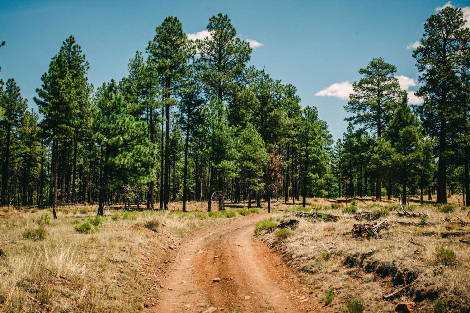
Off-Road Trails in Arizona
Discover off-road trails in Arizona
Learn more about Martinez Creek North
Martinez Creek North
Total Miles
3.1
Tech Rating
Easy
Best Time
Spring, Summer, Fall
Learn more about Mary's Dinner 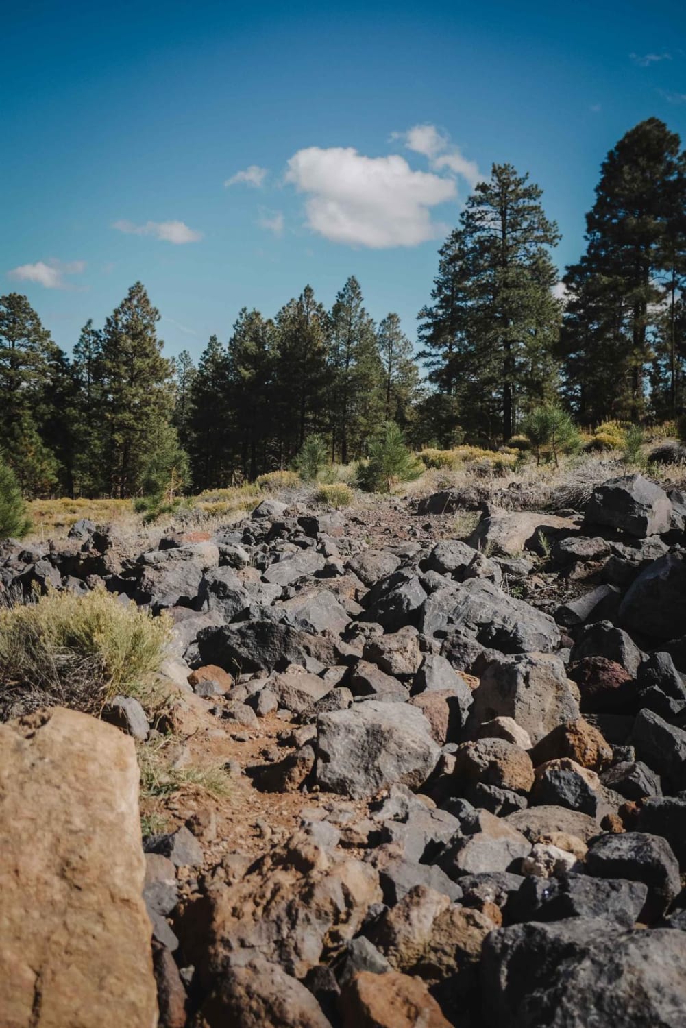
Mary's Dinner
Total Miles
1.8
Tech Rating
Moderate
Best Time
Spring, Summer, Fall
Learn more about Max Tank Road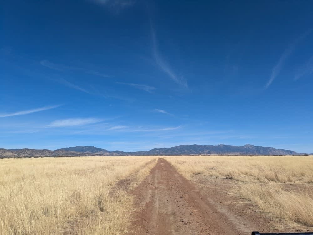
Max Tank Road
Total Miles
2.2
Tech Rating
Easy
Best Time
Spring, Fall, Winter
Learn more about McCabe Mine & Cemetery Loop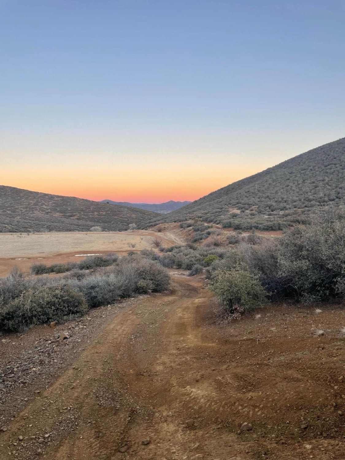
McCabe Mine & Cemetery Loop
Total Miles
4.6
Tech Rating
Moderate
Best Time
Spring, Summer, Fall, Winter
Learn more about McCraken Rockhouse Cabin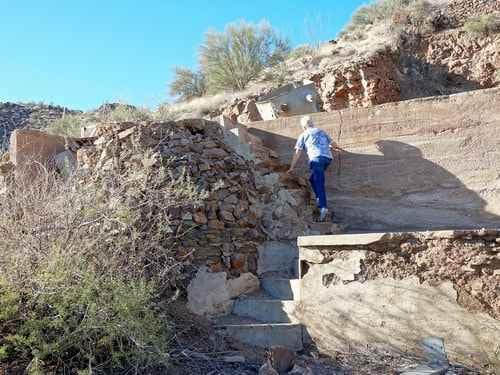
McCraken Rockhouse Cabin
Total Miles
57.2
Tech Rating
Moderate
Best Time
Summer, Fall
Learn more about McGuffie Cabin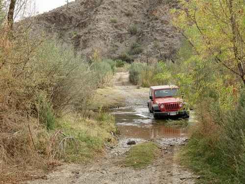
McGuffie Cabin
Total Miles
23.0
Tech Rating
Moderate
Best Time
Summer, Fall, Spring, Winter
Learn more about McGuffy Cabin Trail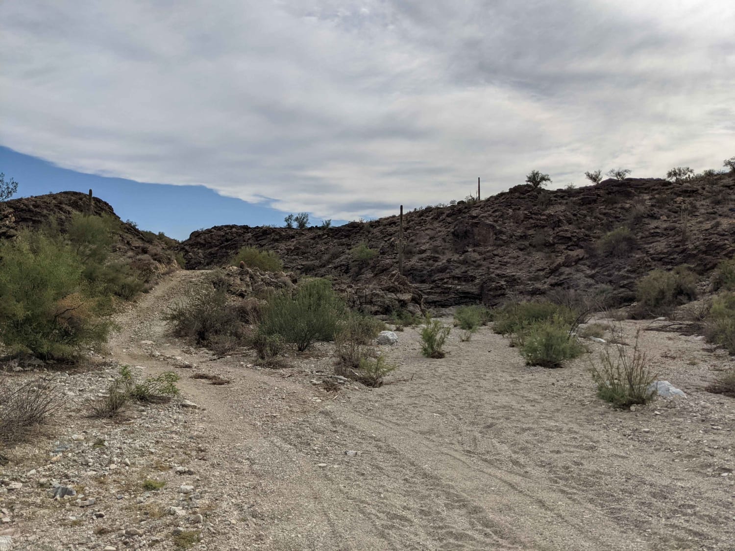
McGuffy Cabin Trail
Total Miles
5.0
Tech Rating
Moderate
Best Time
Spring, Fall, Winter
Learn more about McHeffy Wash
McHeffy Wash
Total Miles
3.3
Tech Rating
Moderate
Best Time
Spring, Summer, Fall, Winter
Learn more about McKay a Tank Road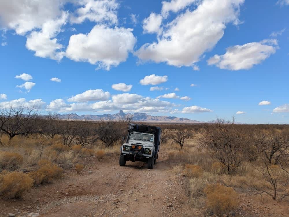
McKay a Tank Road
Total Miles
6.8
Tech Rating
Easy
Best Time
Spring, Fall, Winter
Learn more about McNary Mine Road
McNary Mine Road
Total Miles
3.9
Tech Rating
Moderate
Best Time
Spring, Summer, Fall
Learn more about McReynolds Cutthrough
McReynolds Cutthrough
Total Miles
1.4
Tech Rating
Easy
Best Time
Spring, Summer, Fall, Winter
Learn more about Mead Liberty/Pheonix Powerline Road
Mead Liberty/Pheonix Powerline Road
Total Miles
5.4
Tech Rating
Easy
Best Time
Spring, Fall, Winter
Learn more about Meander Along
Meander Along
Total Miles
4.1
Tech Rating
Easy
Best Time
Spring, Fall, Winter
Learn more about Melendrez Pass
Melendrez Pass
Total Miles
4.4
Tech Rating
Easy
Best Time
Spring, Winter, Fall, Summer
Learn more about Mesa Connection
Mesa Connection
Total Miles
3.2
Tech Rating
Easy
Best Time
Spring, Summer, Fall
Learn more about Mesa Tank Cutoff
Mesa Tank Cutoff
Total Miles
4.0
Tech Rating
Easy
Best Time
Spring, Summer, Fall, Winter
Learn more about Mesa Tank to Wash Problems
Mesa Tank to Wash Problems
Total Miles
1.7
Tech Rating
Easy
Best Time
Spring, Summer, Fall, Winter
Learn more about Mesa Tanks
Mesa Tanks
Total Miles
5.8
Tech Rating
Easy
Best Time
Spring, Summer, Fall, Winter
Learn more about Mesquite Overlook
Mesquite Overlook
Total Miles
7.0
Tech Rating
Easy
Best Time
Spring, Fall, Winter
ATV trails in Arizona
Learn more about Scrub Oak Bypass 
Scrub Oak Bypass
Total Miles
0.5
Tech Rating
Easy
Best Time
Spring, Summer, Fall


UTV/side-by-side trails in Arizona
Learn more about Scrub Oak Bypass
Scrub Oak Bypass
Total Miles
0.5
Tech Rating
Easy
Best Time
Spring, Summer, Fall
The onX Offroad Difference
onX Offroad combines trail photos, descriptions, difficulty ratings, width restrictions, seasonality, and more in a user-friendly interface. Available on all devices, with offline access and full compatibility with CarPlay and Android Auto. Discover what you’re missing today!