Mesa Tanks
Total Miles
5.8
Technical Rating
Best Time
Spring, Summer, Fall, Winter
Trail Type
Full-Width Road
Accessible By
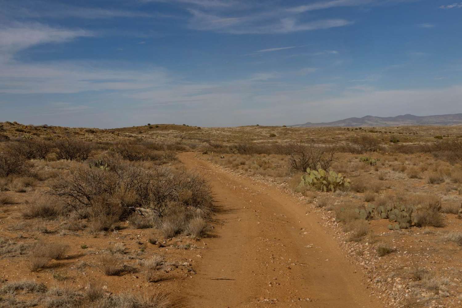
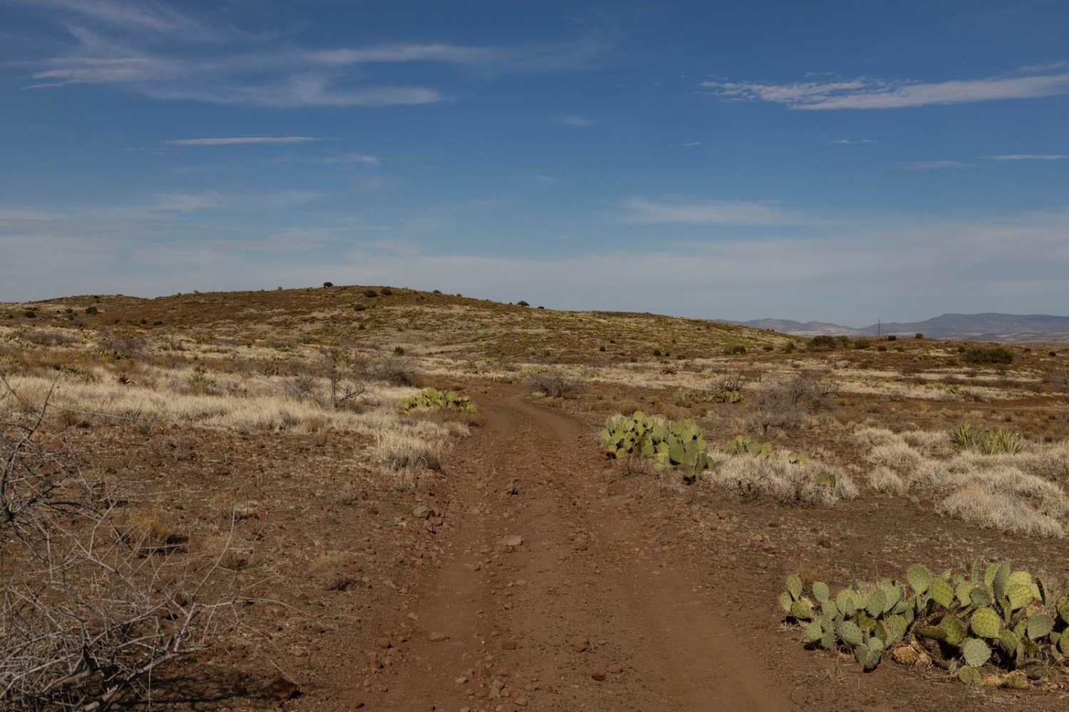
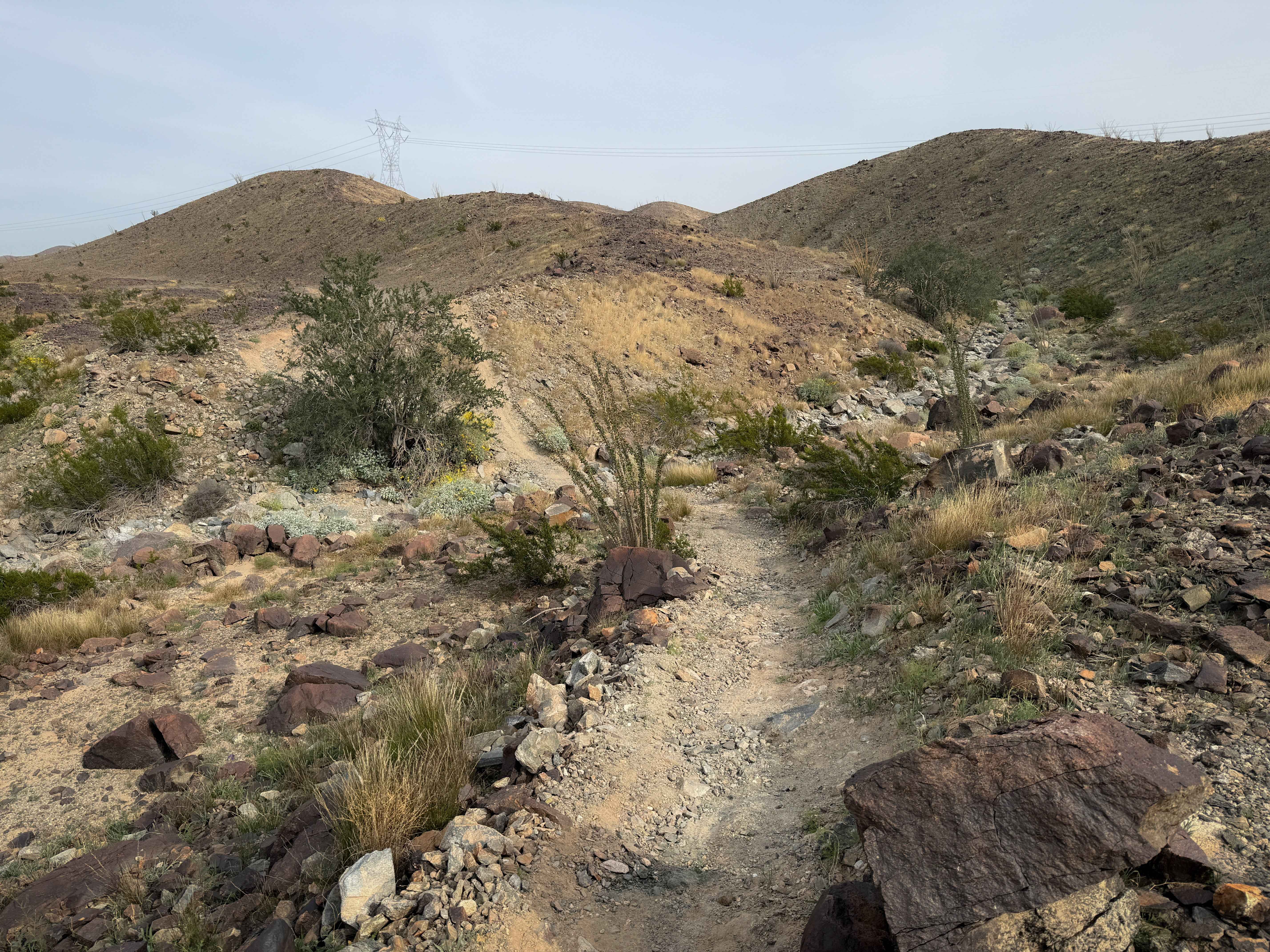
Trail Overview
It is a winding, mellow trail with rocky terrain and mild erosion. Expect one-lane travel with occasional ditch and wash crossings that add variety to the route. There is the typical rocky and water-damaged terrain, but nothing too unusual. While the trail has some wear and damage, it remains manageable--limited cell service with one bar of 5G. The trail is hilly and winds through this beautiful landscape past numerous cattle tanks, so don't be surprised if you see cattle or wildlife enjoying the available water.
Photos of Mesa Tanks
Difficulty
This is an unmaintained trail that is one lane and has few places to pass and/or turn around. remember if you do decide to leave the trail, to please TREAD LIGHTLY as this environment is fragile and prone to lasting damage. There are sporadic campsites along this trail, some with primitive fire rings. Remember, if you do decide to have a fire, to check local, regional, and Prescott National Forest regulations, as this area is prone to large and uncontrollable wildfires. This trail accesses numerous other trails in the area, and is popular with hunters.
Status Reports
Mesa Tanks can be accessed by the following ride types:
- High-Clearance 4x4
- SUV
- SxS (60")
- ATV (50")
- Dirt Bike
Mesa Tanks Map
Popular Trails

9079 Touching STL

Windmills Reach
The onX Offroad Difference
onX Offroad combines trail photos, descriptions, difficulty ratings, width restrictions, seasonality, and more in a user-friendly interface. Available on all devices, with offline access and full compatibility with CarPlay and Android Auto. Discover what you’re missing today!