Middle Tank Loop
Total Miles
5.7
Technical Rating
Best Time
Spring, Fall, Winter
Trail Type
Full-Width Road
Accessible By
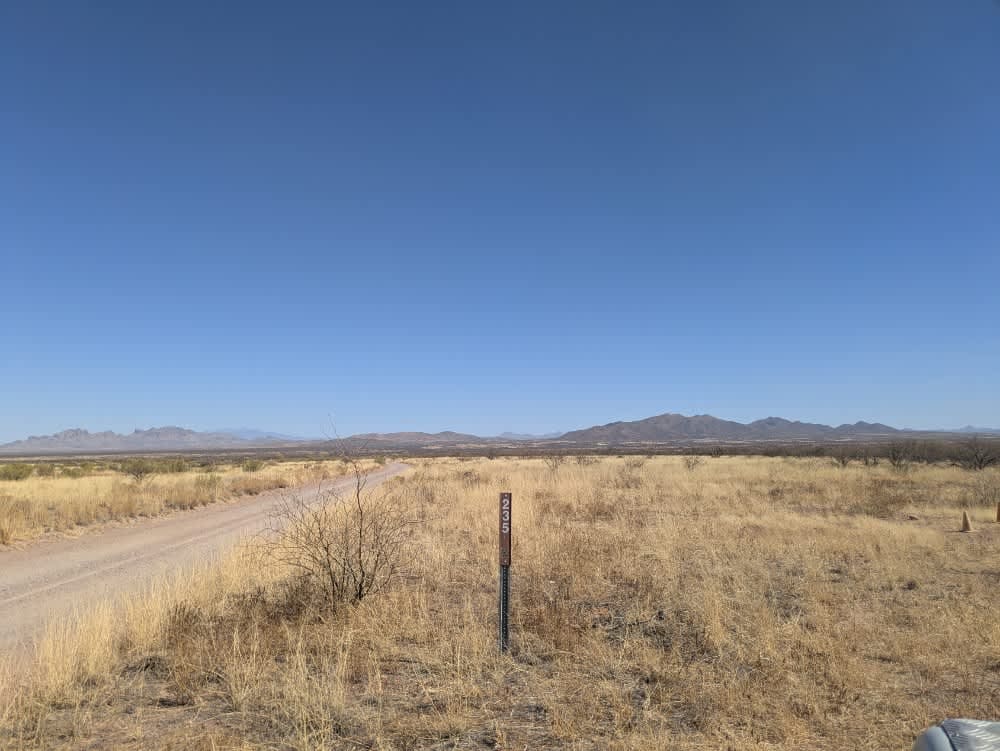
Trail Overview
The trail features a few gentle ups and downs, making for an easy and enjoyable drive. There are several washes to cross along the way, but none present significant challenges under normal conditions. Continuing south on Trail 223 instead of taking Trail 233 provides additional exploration opportunities for those looking to extend the route. The landscape offers stunning views of the surrounding mountain range and vast open spaces, making it an excellent location for spotting wildlife. A unique section of the trail passes through a dense cluster of cacti, resembling a desert forest. As the route approaches Trail 222, deep rutted areas become more common and may pose difficulties during rainy conditions. It is advisable to check road conditions with the main office before heading out, especially in wet weather. Due to encroaching vegetation, drivers should also expect some pinstriping on Forest Road 222. The trail lacks amenities like trash disposal, water supply, and limited cell service.
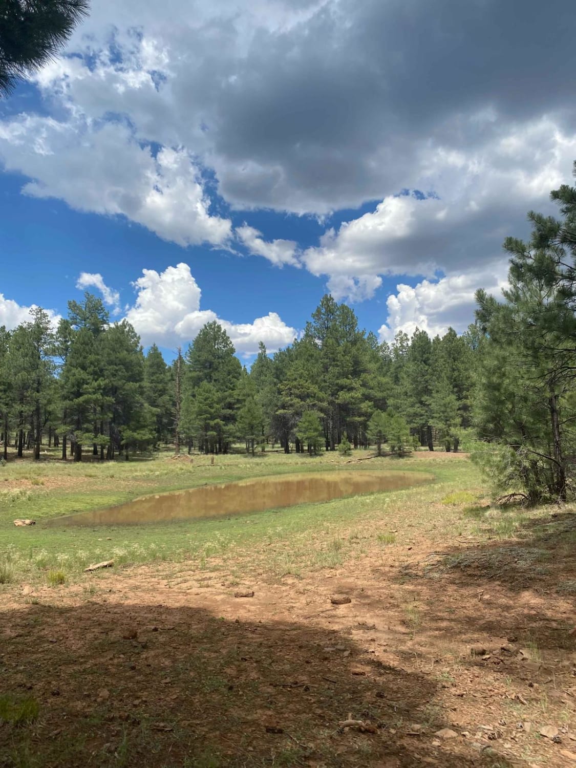
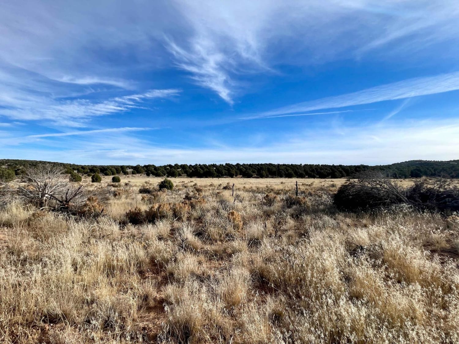
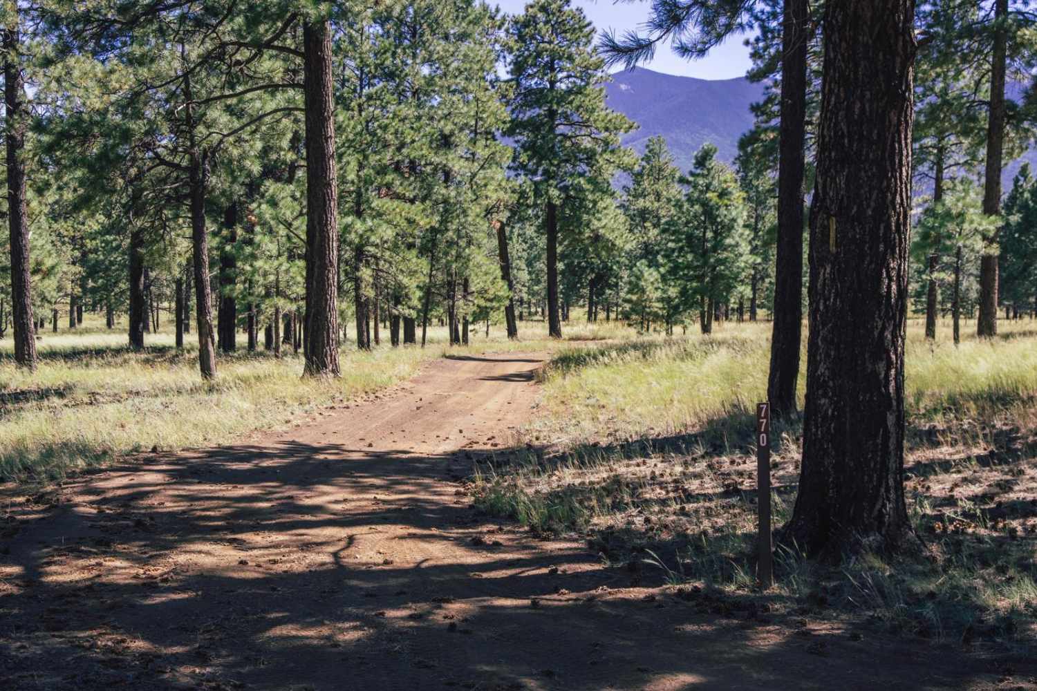
Photos of Middle Tank Loop

Difficulty
This is a dusty and sandy single track.
History
The Buenos Aires National Wildlife Refuge, established in 1985, encompasses over 117,000 acres in the Altar Valley of southern Arizona. This refuge was created to protect and restore the semi-desert grassland ecosystem, providing habitat for a variety of threatened and endangered species, including the masked bobwhite quail and pronghorn.
Status Reports
Middle Tank Loop can be accessed by the following ride types:
- High-Clearance 4x4
- SUV
- SxS (60")
- ATV (50")
- Dirt Bike
Middle Tank Loop Map
Popular Trails
Engelstead Tank Cutover

Brahma Tank Pass
The onX Offroad Difference
onX Offroad combines trail photos, descriptions, difficulty ratings, width restrictions, seasonality, and more in a user-friendly interface. Available on all devices, with offline access and full compatibility with CarPlay and Android Auto. Discover what you’re missing today!