Engelstead Tank Cutover
Total Miles
4.1
Technical Rating
Best Time
Spring, Fall
Trail Type
Full-Width Road
Accessible By
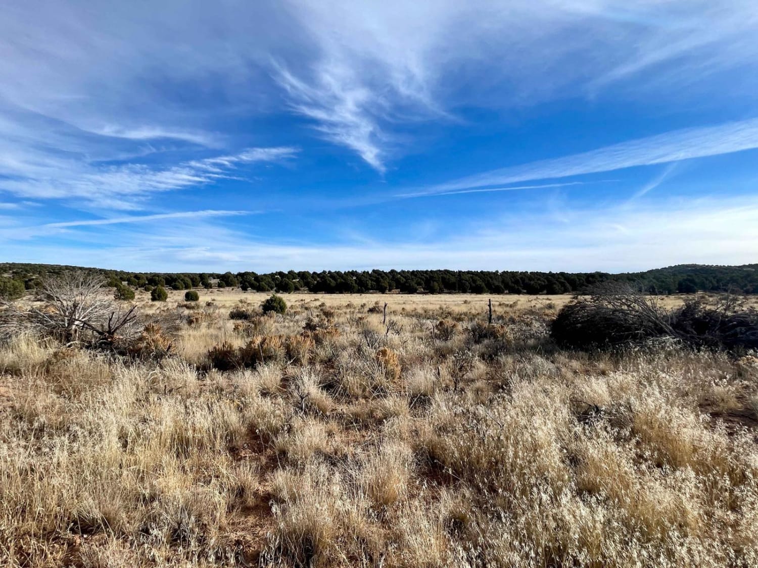
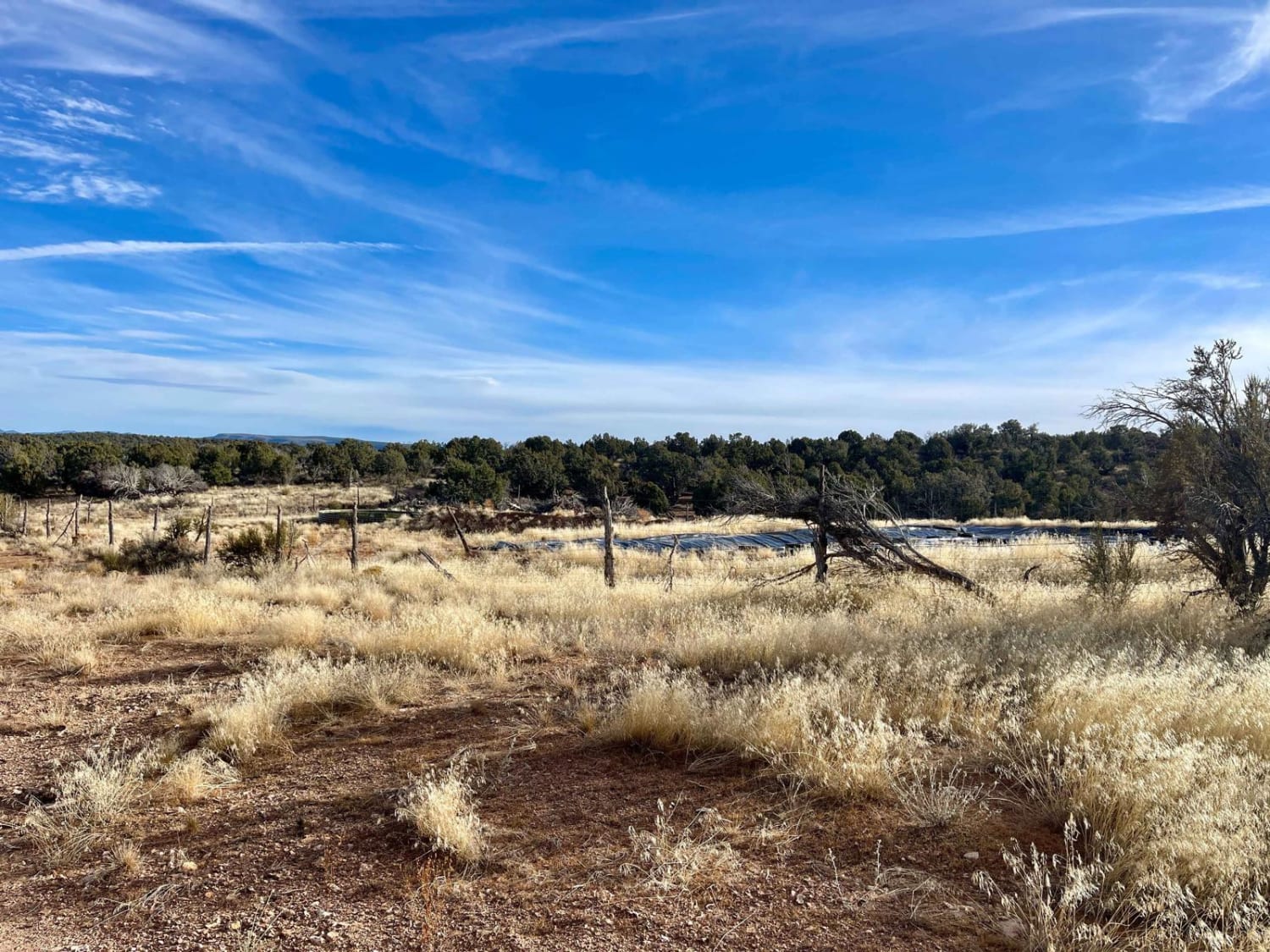
Trail Overview
This easy two-track is an excellent choice for cutting across the rolling hills. There are tall brown grasses and the occasional small washout, but nothing challenging--just beautiful grassy meadows and lush green forests of juniper trees. The ravens are out in force and even fly alongside you as you traverse across. Keep your eyes peeled for deer and javelina. There are also plenty of coyotes in the area too. The silence and peacefulness are outstanding in this remote and serene place. There are no real camping options besides near the cattle tanks, but those are not ideal if you don't want late-night bovine visitors. Overall, it's just a nice solid cutover with great views of the Grand Canyon Perchant/Arizona Strip landscape. This area is very remote, and help is a long way away. Be sure to bring a satellite communication device and be sure somebody knows your travel plans. There is no cell service out here, so plan and download your offline maps and bring plenty of water. It is a desert, after all.
Photos of Engelstead Tank Cutover
Difficulty
The trail has narrow long sections of two-track with the occasional washout and room to pull over for oncoming traffic.
History
The Arizona Strip is a vast arid region on the north side of the Grand Canyon that encompasses a variety of landscapes and climates within its nearly 3 million acres, as well as centuries of human history. It is 200 miles long and accessed only by two major highways on either end. Because of its lack of easy access, the Strip remains one of the most remote and least-visited parts of the state.
Status Reports
Engelstead Tank Cutover can be accessed by the following ride types:
- High-Clearance 4x4
- SUV
- SxS (60")
- ATV (50")
- Dirt Bike
Engelstead Tank Cutover Map
Popular Trails
BW80 "The Mine"
Betty Lee Mine Loop


Power Line Road | Hidden Valley South
The onX Offroad Difference
onX Offroad combines trail photos, descriptions, difficulty ratings, width restrictions, seasonality, and more in a user-friendly interface. Available on all devices, with offline access and full compatibility with CarPlay and Android Auto. Discover what you’re missing today!