Off-Road Trails in Arizona
Discover off-road trails in Arizona
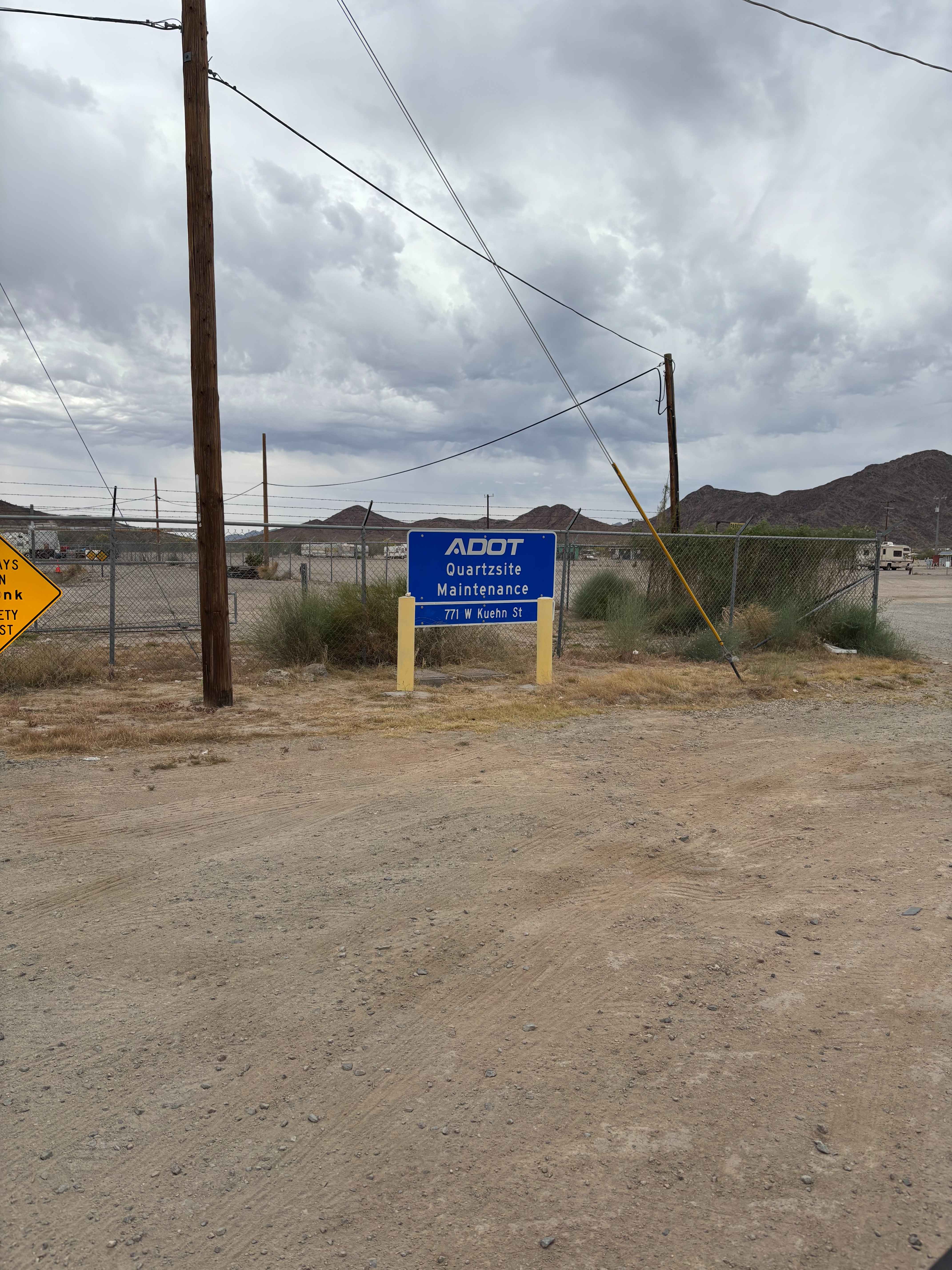
Learn more about Lower Wash Run
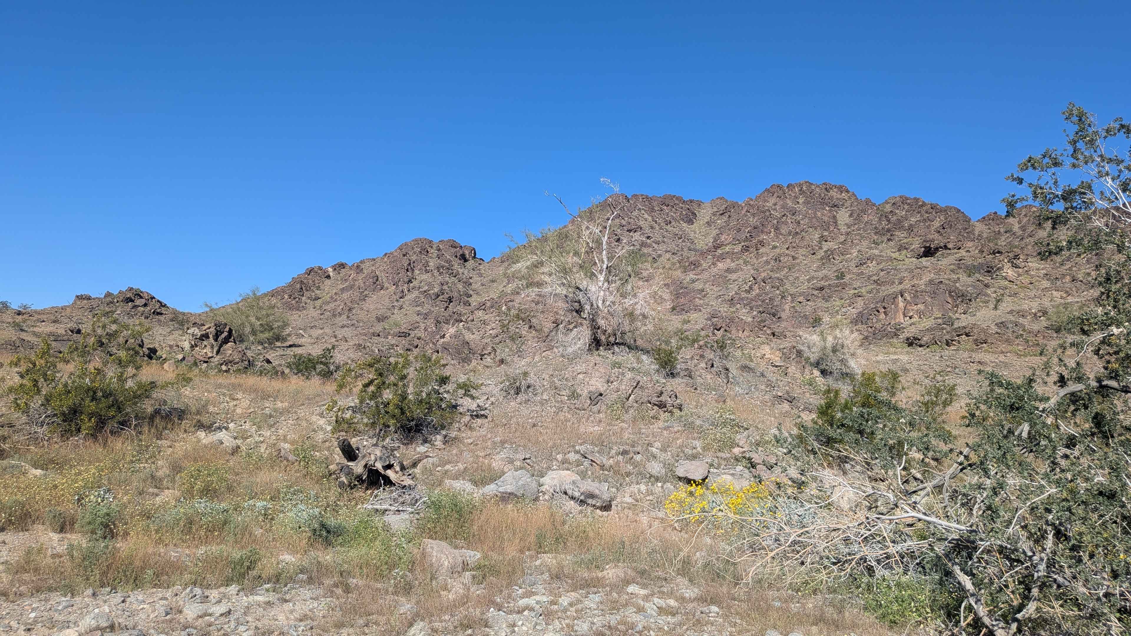
Lower Wash Run
Total Miles
2.6
Tech Rating
Easy
Best Time
Spring, Summer, Fall, Winter
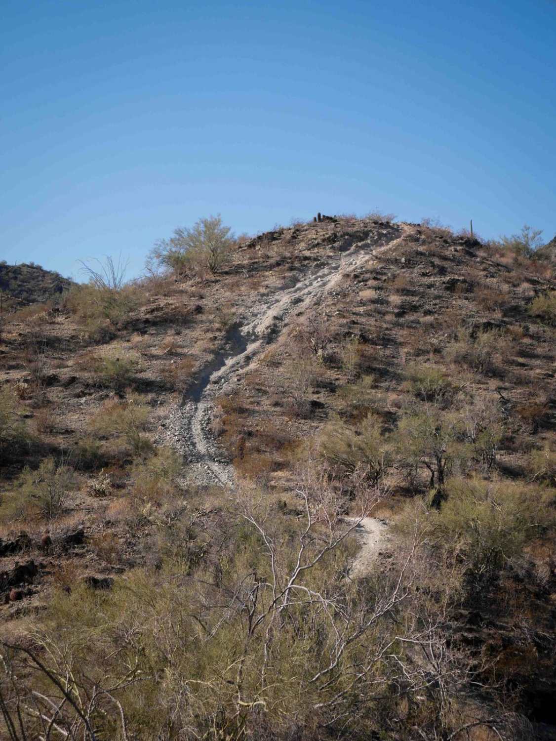
Learn more about Lower Woody's Wash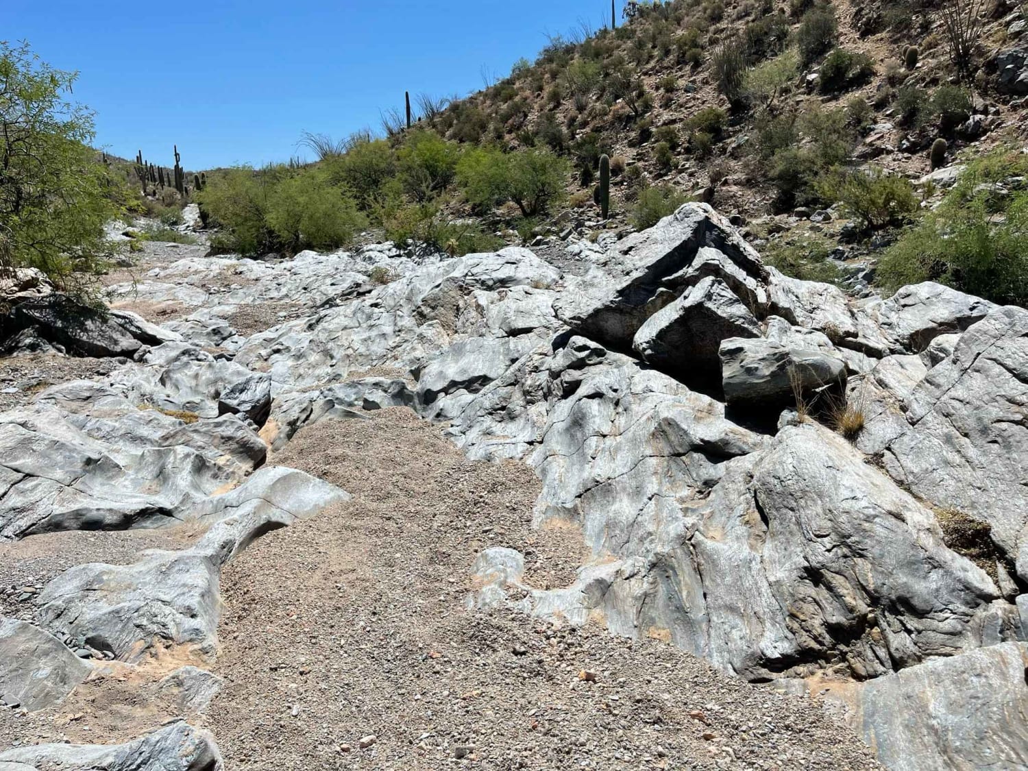
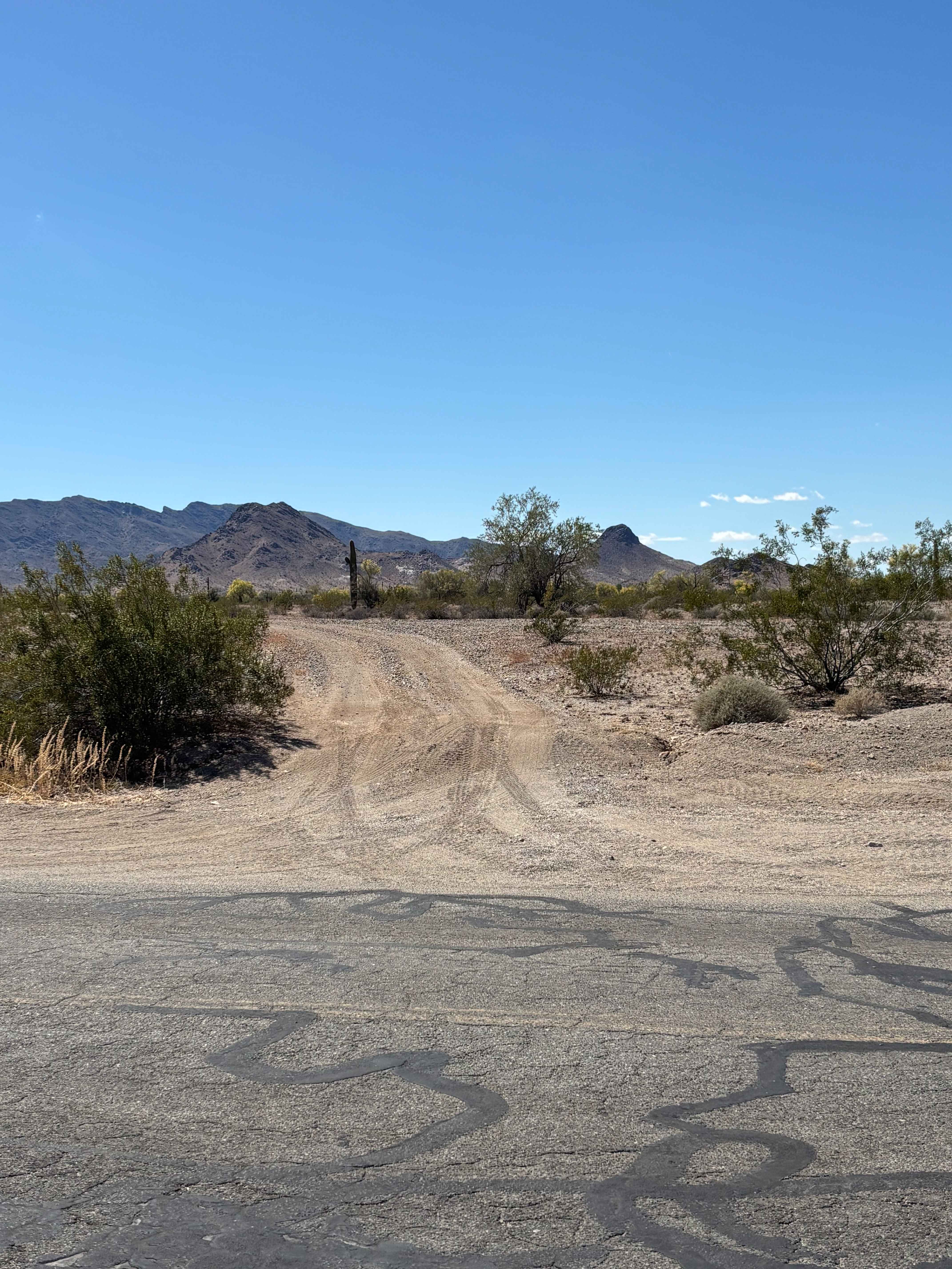
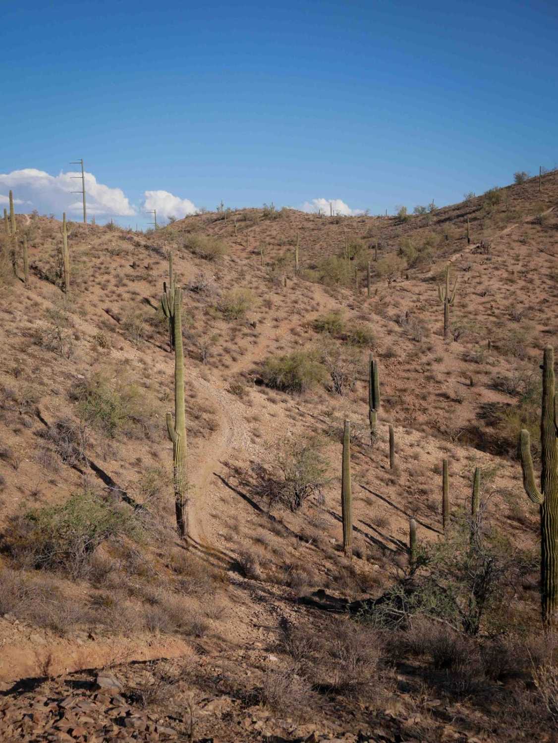
Lower Woody's Wash
Total Miles
0.5
Tech Rating
Moderate
Best Time
Spring, Summer, Fall
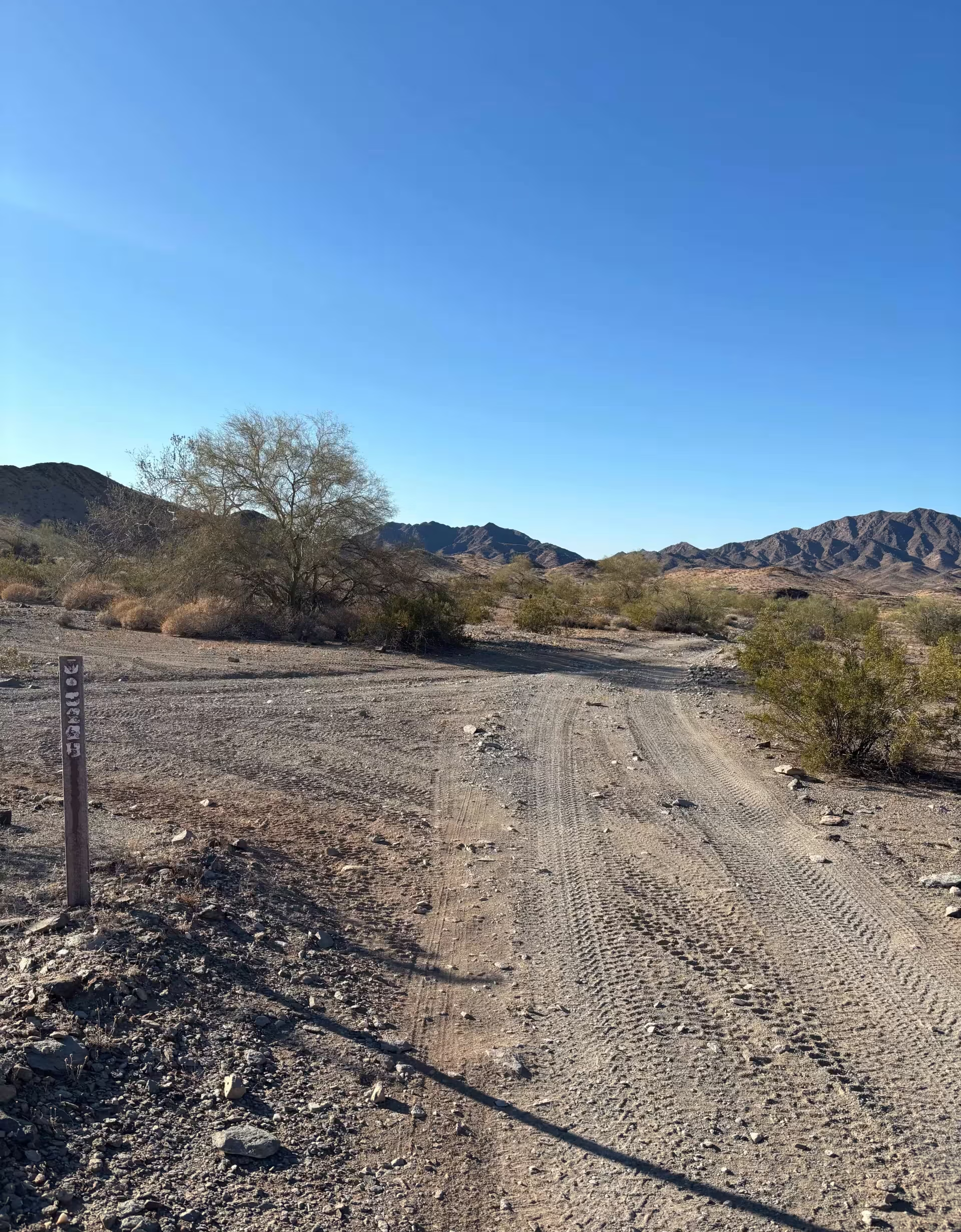
Learn more about LP 859- LP 3143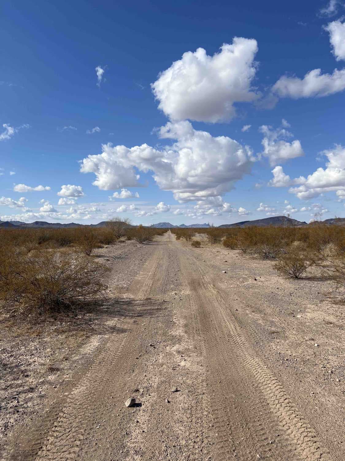
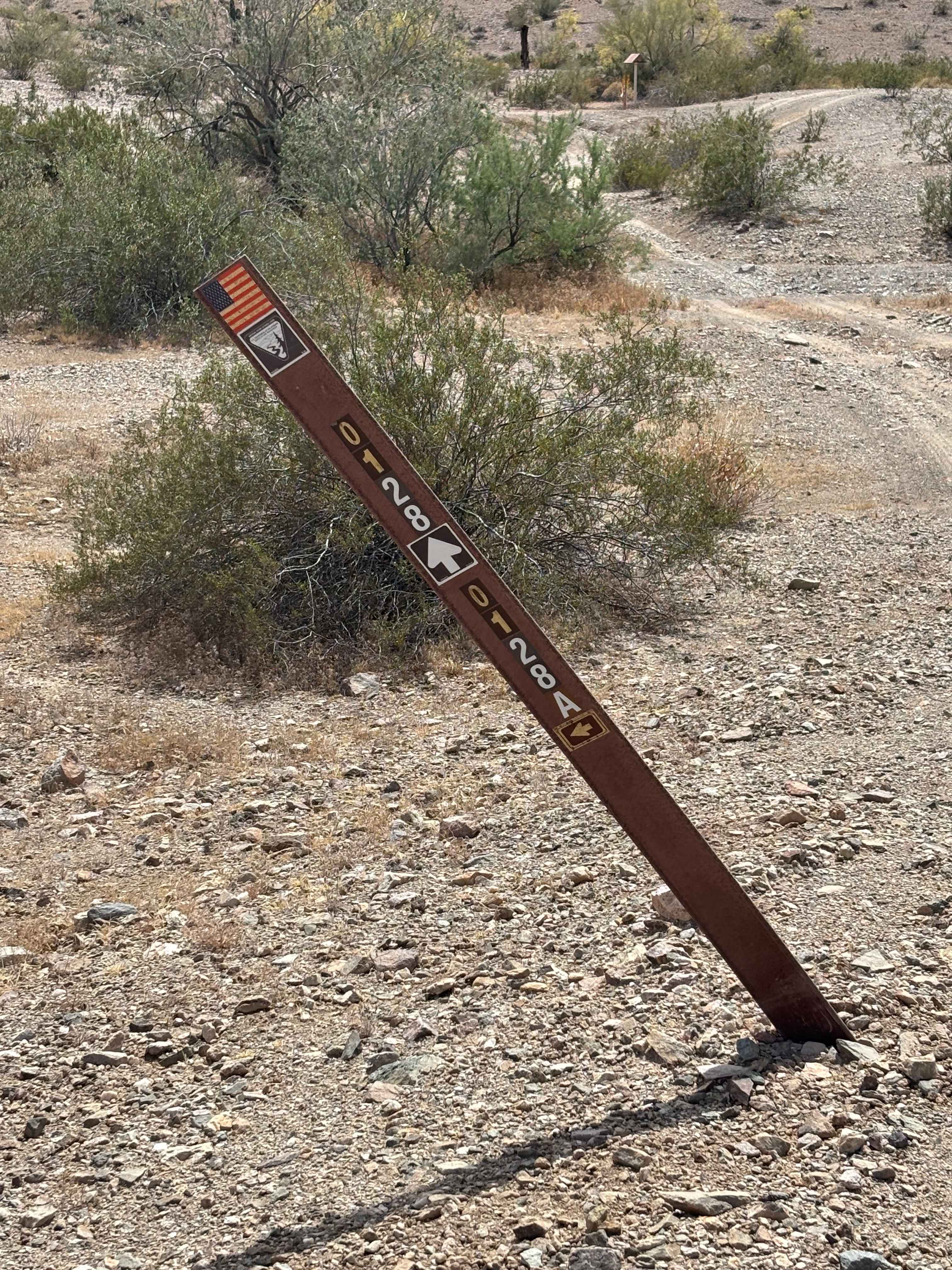
LP 859- LP 3143
Total Miles
12.3
Tech Rating
Easy
Best Time
Spring, Summer, Fall, Winter

Learn more about LP776 Connector Trail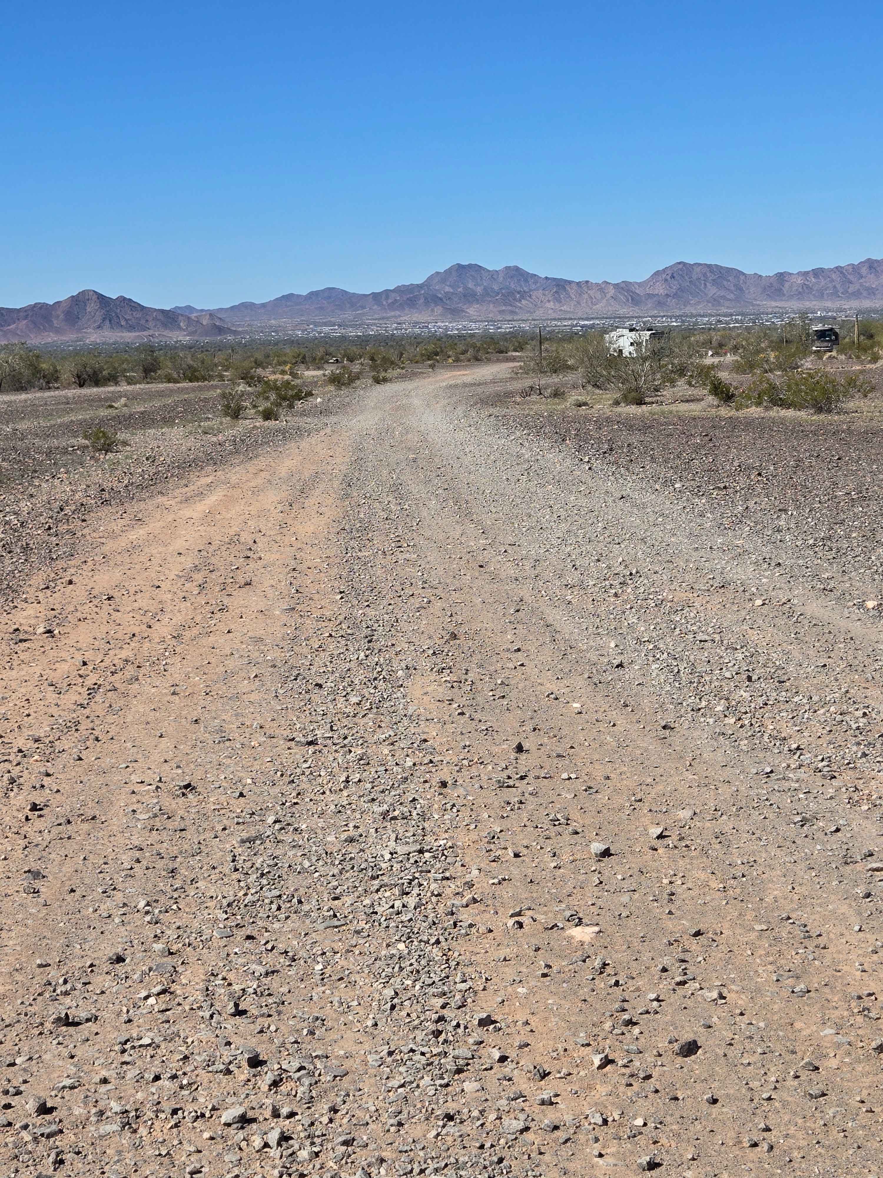
LP776 Connector Trail
Total Miles
2.0
Tech Rating
Easy
Best Time
Spring, Summer, Fall, Winter
Learn more about LU-MI Trail
LU-MI Trail
Total Miles
1.3
Tech Rating
Moderate
Best Time
Spring, Summer, Fall, Winter
Learn more about Lucky Seven - Single Track
Lucky Seven - Single Track
Total Miles
3.1
Tech Rating
Moderate
Best Time
Spring, Fall, Winter, Summer
Learn more about M0770 Gas Pipeline Trail
M0770 Gas Pipeline Trail
Total Miles
2.8
Tech Rating
Moderate
Best Time
Spring, Fall, Winter
Learn more about M0775 Black Mountain West Loop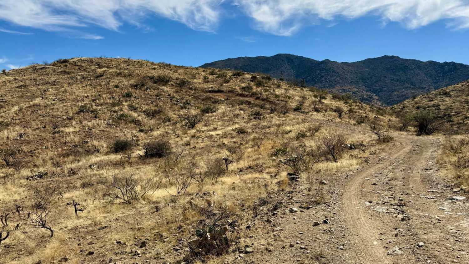
M0775 Black Mountain West Loop
Total Miles
7.0
Tech Rating
Moderate
Best Time
Winter, Fall, Spring
ATV trails in Arizona
Learn more about Scrub Oak Bypass 
Scrub Oak Bypass
Total Miles
0.5
Tech Rating
Easy
Best Time
Spring, Summer, Fall


UTV/side-by-side trails in Arizona
Learn more about Scrub Oak Bypass
Scrub Oak Bypass
Total Miles
0.5
Tech Rating
Easy
Best Time
Spring, Summer, Fall
The onX Offroad Difference
onX Offroad combines trail photos, descriptions, difficulty ratings, width restrictions, seasonality, and more in a user-friendly interface. Available on all devices, with offline access and full compatibility with CarPlay and Android Auto. Discover what you’re missing today!