Off-Road Trails in Arizona
Discover off-road trails in Arizona
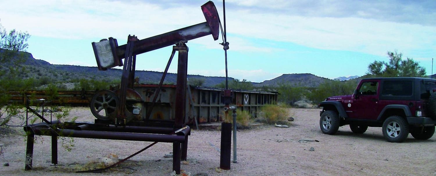
Learn more about Mojave & Milton Historic Railroad
Mojave & Milton Historic Railroad
Total Miles
5.3
Tech Rating
Easy
Best Time
Spring, Fall, Winter
Learn more about Mokaac Mountain
Mokaac Mountain
Total Miles
17.2
Tech Rating
Easy
Best Time
Spring, Summer, Fall
Learn more about Monastery Fenceline
Monastery Fenceline
Total Miles
4.1
Tech Rating
Easy
Best Time
Spring, Summer, Fall, Winter
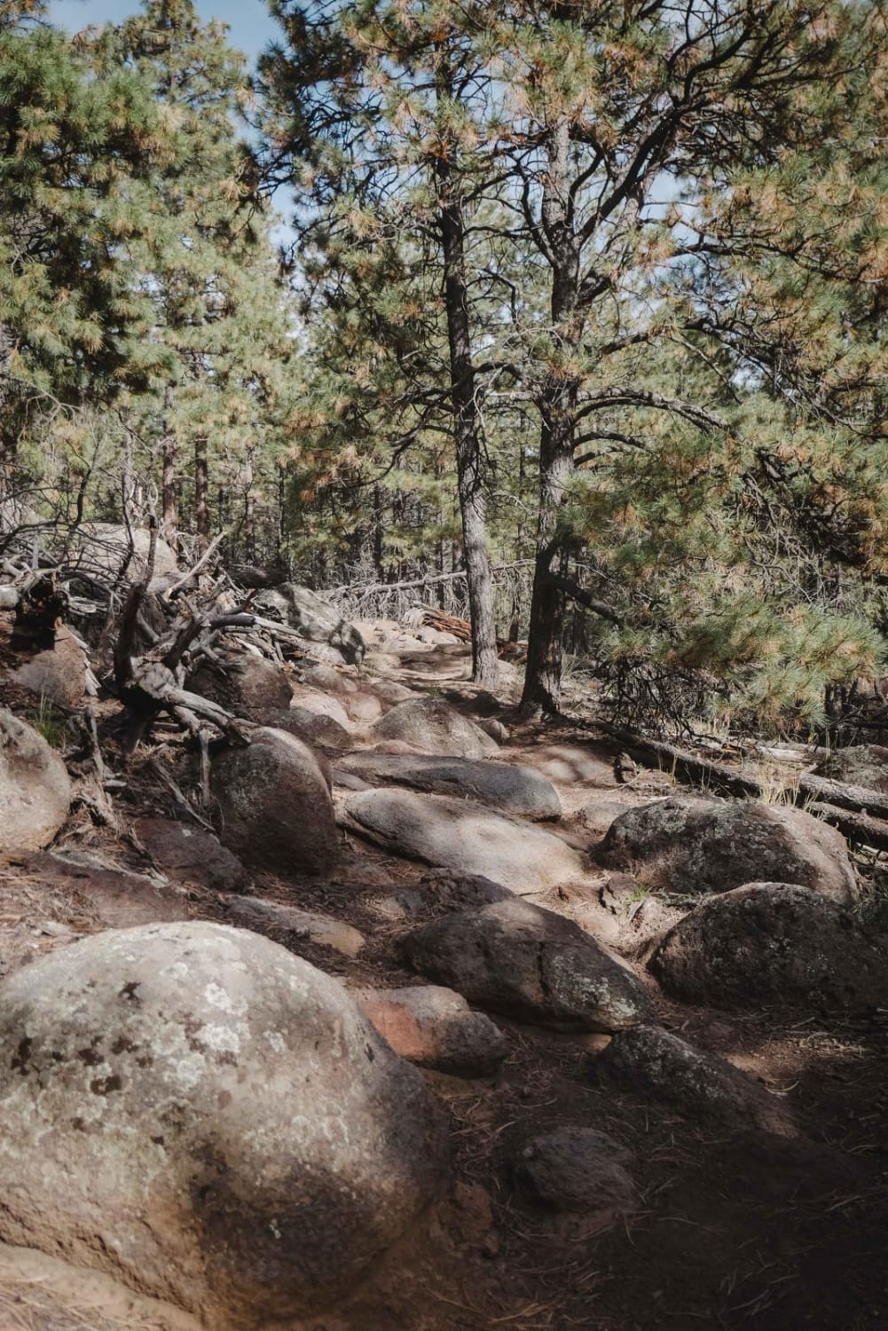
Learn more about Mongollon Mesa Trail (9D)
Mongollon Mesa Trail (9D)
Total Miles
9.7
Tech Rating
Easy
Best Time
Spring, Summer, Fall
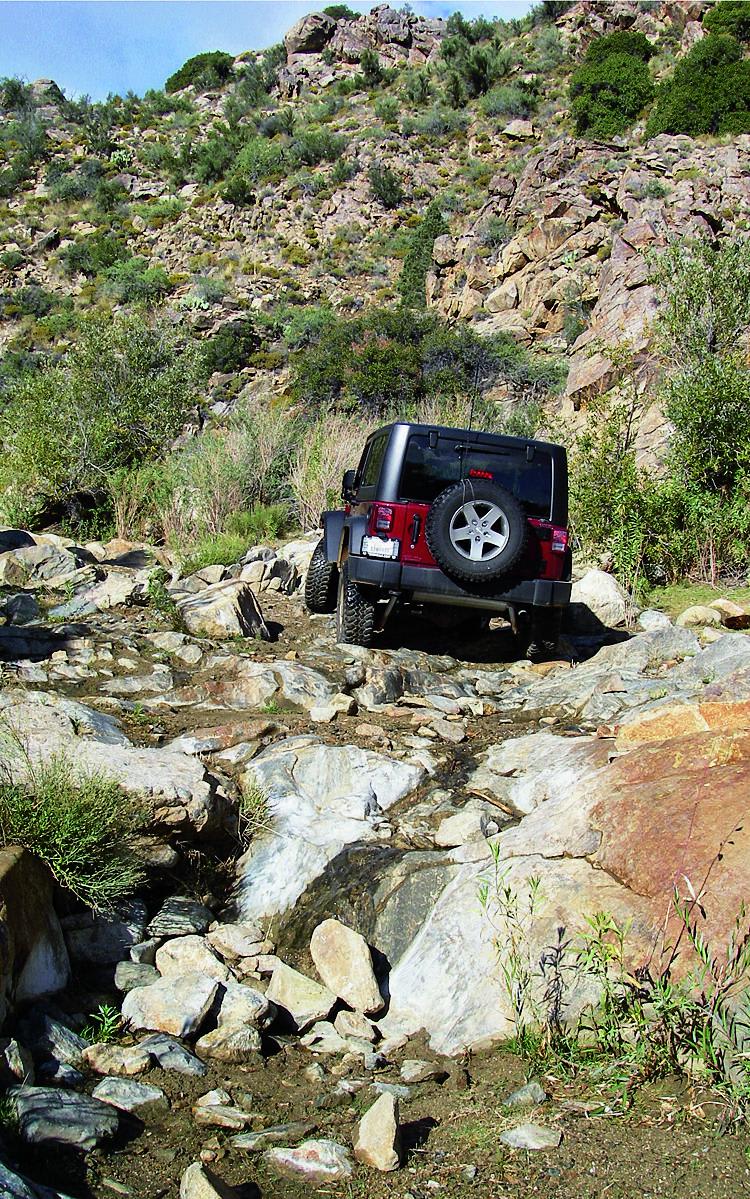
Learn more about Montana Mountain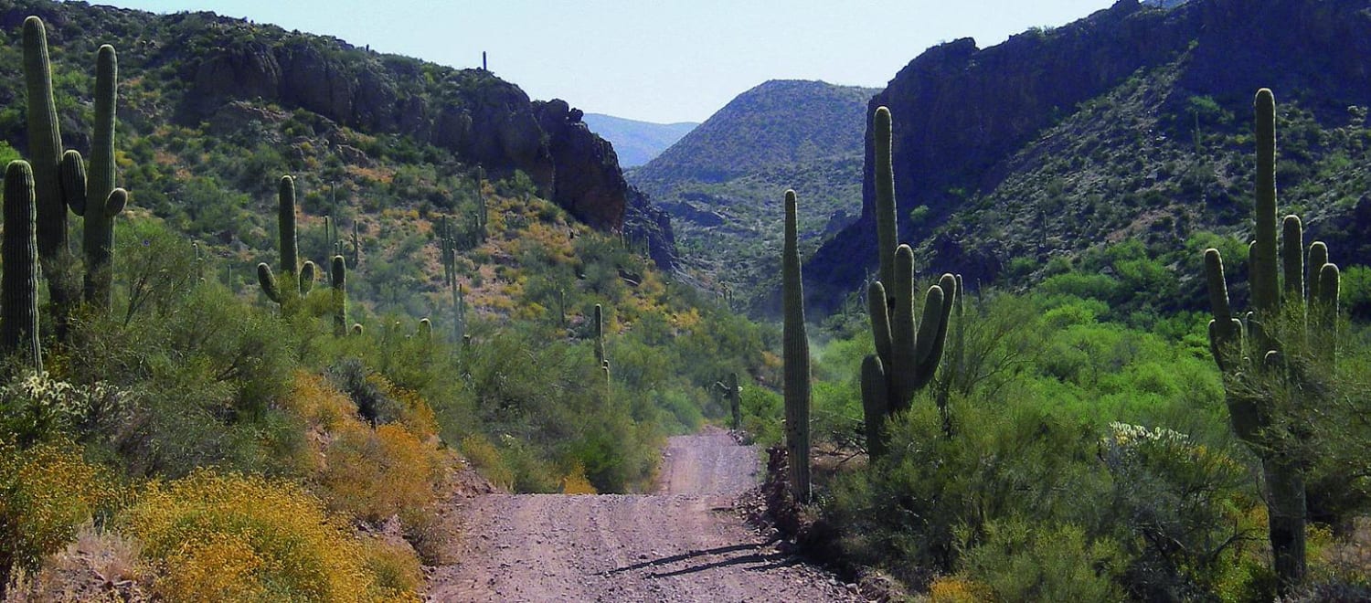
Montana Mountain
Total Miles
28.9
Tech Rating
Moderate
Best Time
Spring, Summer, Fall
Learn more about Montana Mountain Loop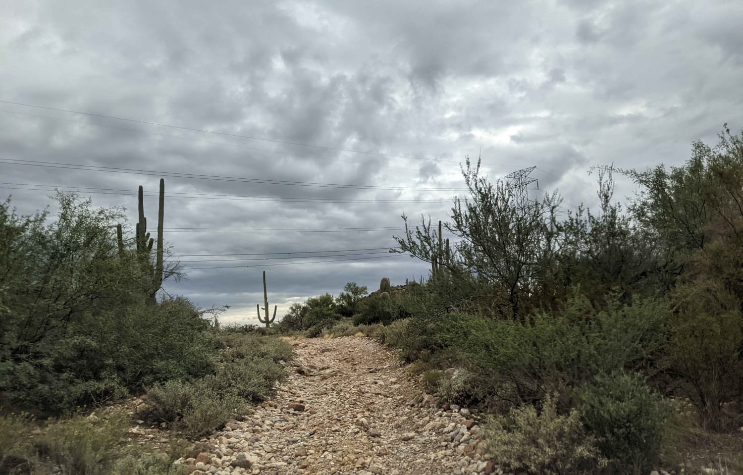
Montana Mountain Loop
Total Miles
38.3
Tech Rating
Moderate
Best Time
Spring, Fall, Summer
Learn more about Monterey Mine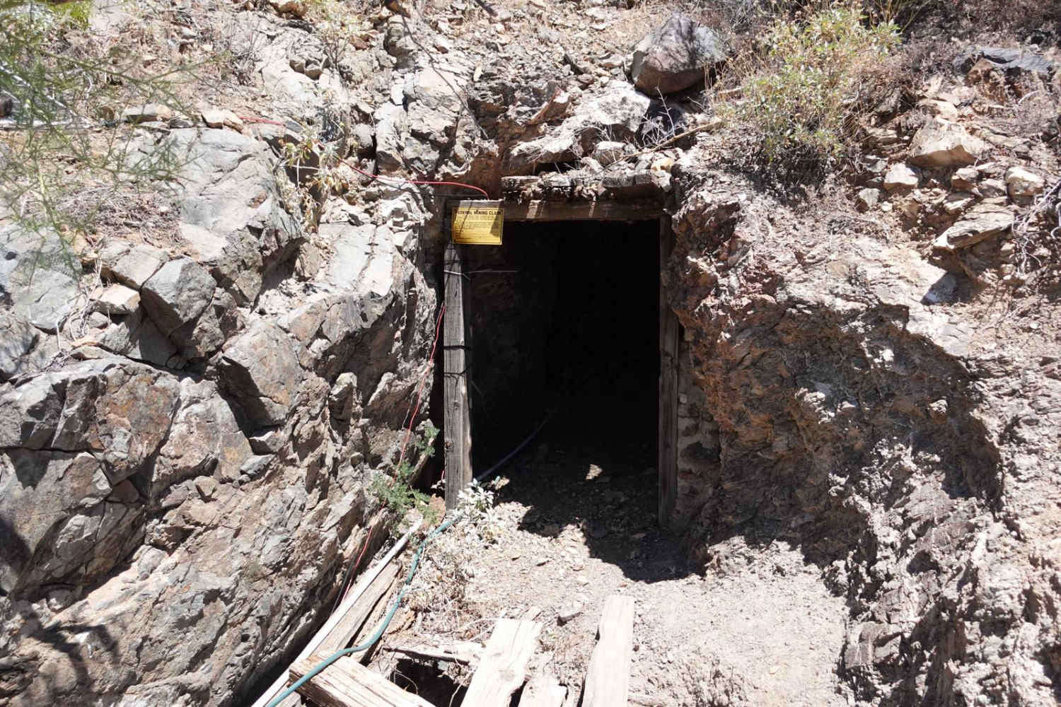
Monterey Mine
Total Miles
0.5
Tech Rating
Moderate
Best Time
Fall, Spring, Winter, Summer
Learn more about Montezuma Pass
Montezuma Pass
Total Miles
4.8
Tech Rating
Easy
Best Time
Spring, Fall, Winter, Summer
Learn more about Montezuma Well
Montezuma Well
Total Miles
3.1
Tech Rating
Easy
Best Time
Spring, Summer, Fall, Winter
Learn more about Moqui Lookout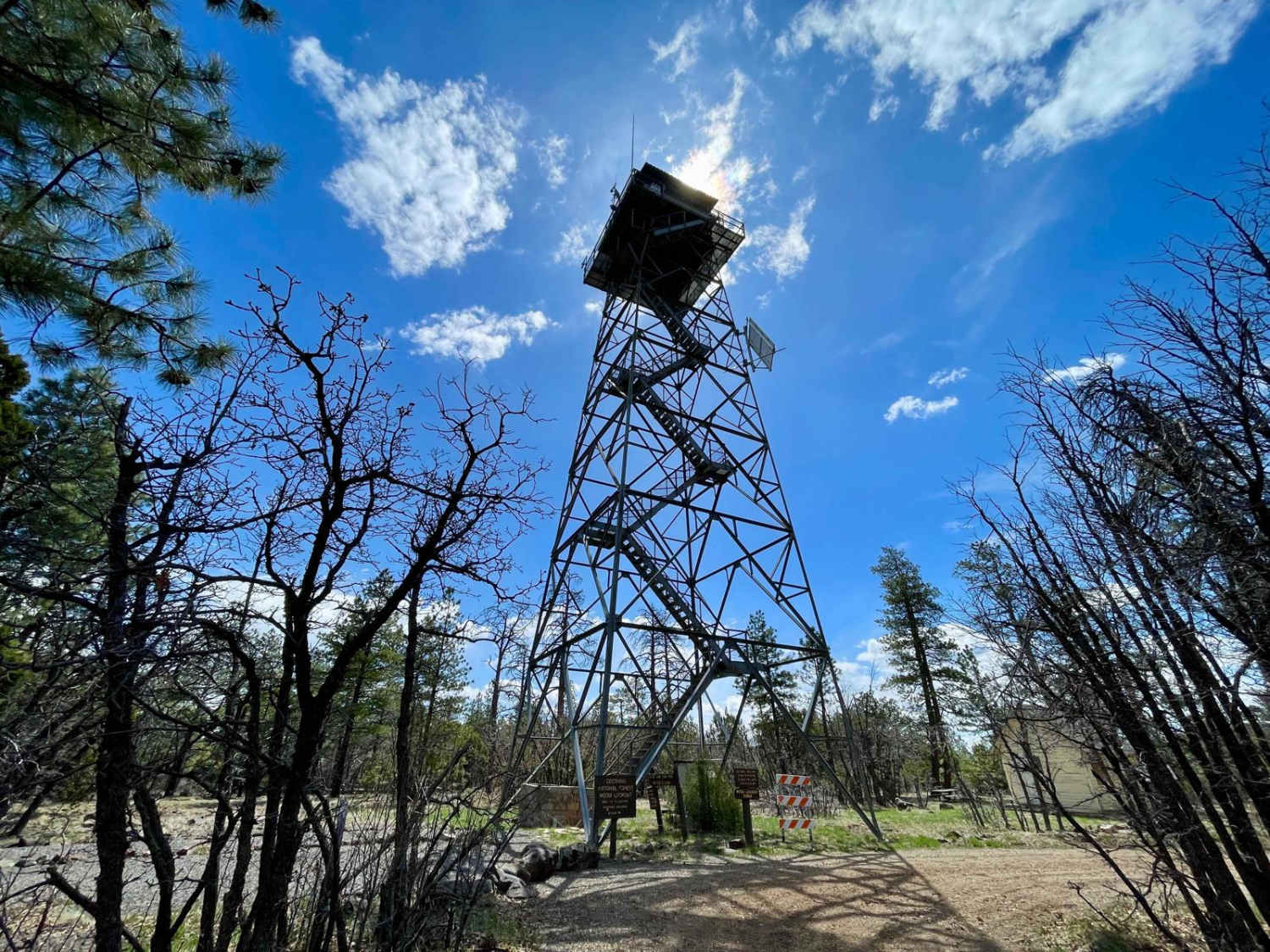
Moqui Lookout
Total Miles
4.7
Tech Rating
Easy
Best Time
Spring, Summer, Fall
Learn more about Morgan Tank
Morgan Tank
Total Miles
2.5
Tech Rating
Moderate
Best Time
Spring, Summer, Fall
Learn more about Mormon Mountain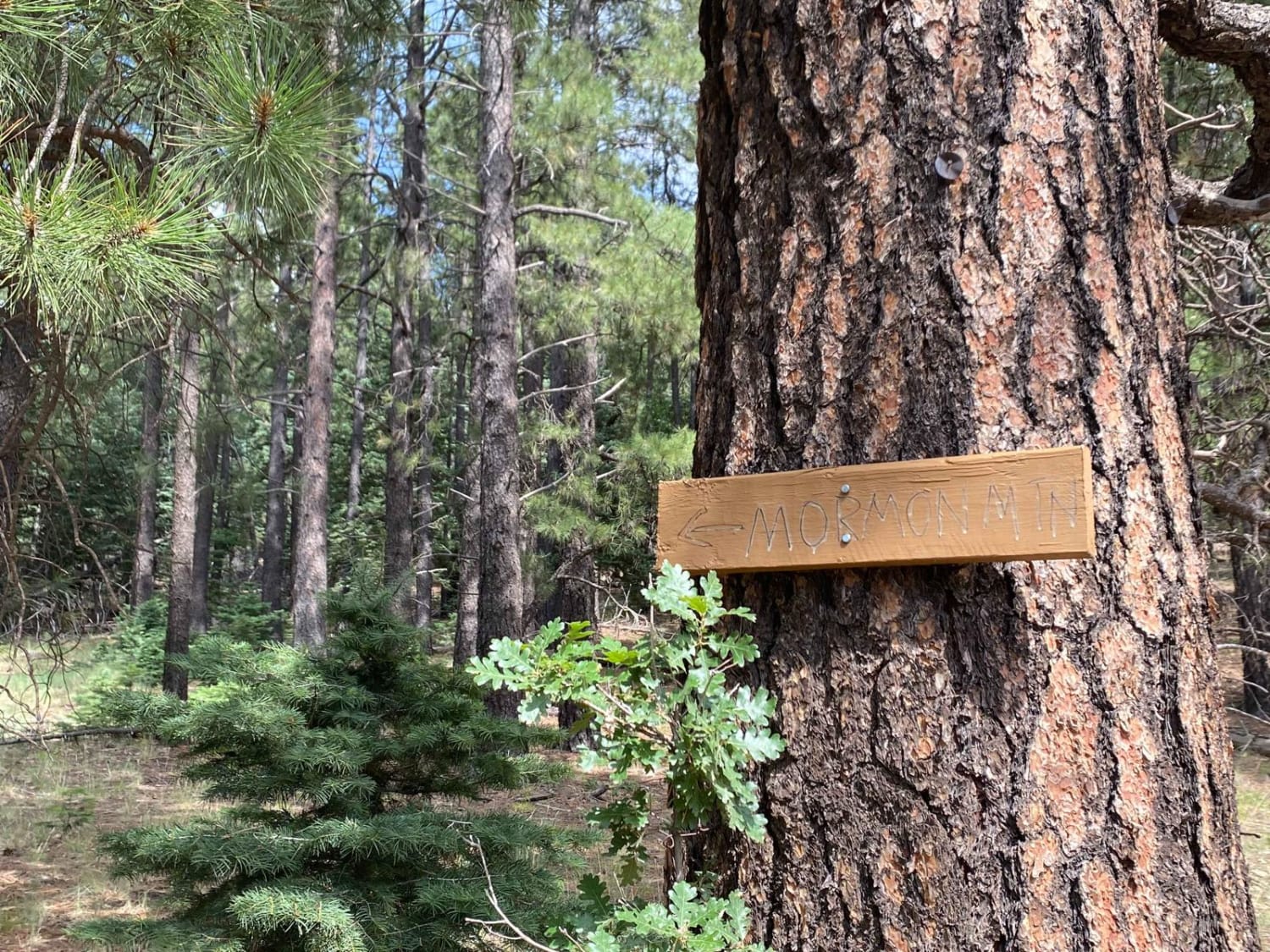
Mormon Mountain
Total Miles
3.1
Tech Rating
Easy
Best Time
Spring, Summer, Fall
Learn more about Morning Star Mine
Morning Star Mine
Total Miles
3.0
Tech Rating
Moderate
Best Time
Spring, Summer, Fall, Winter
Learn more about Most Popular No View
Most Popular No View
Total Miles
2.4
Tech Rating
Easy
Best Time
Spring, Summer, Fall
Learn more about Mount Francis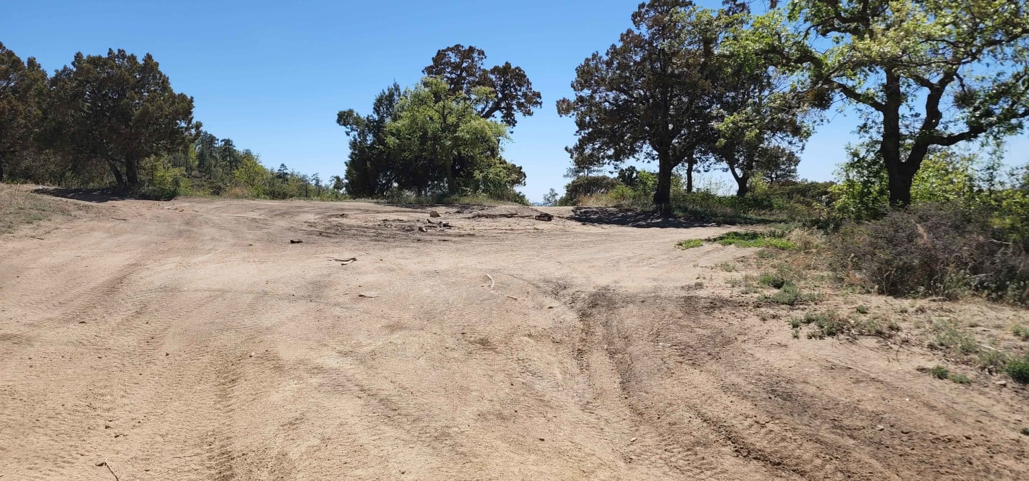
Mount Francis
Total Miles
0.6
Tech Rating
Easy
Best Time
Summer, Spring, Fall
Learn more about Mount Logan Road BLM 1064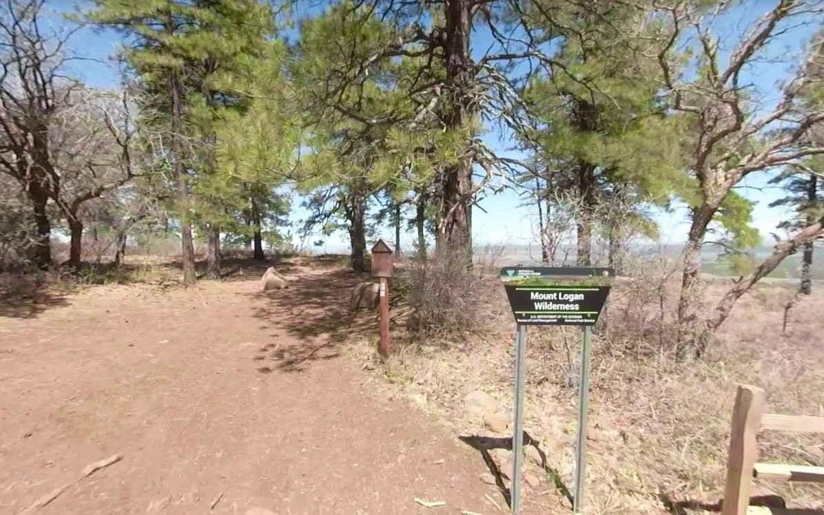
Mount Logan Road BLM 1064
Total Miles
1.6
Tech Rating
Easy
Best Time
Spring, Summer, Fall
ATV trails in Arizona
Learn more about Scrub Oak Bypass 
Scrub Oak Bypass
Total Miles
0.5
Tech Rating
Easy
Best Time
Spring, Summer, Fall


UTV/side-by-side trails in Arizona
Learn more about Scrub Oak Bypass
Scrub Oak Bypass
Total Miles
0.5
Tech Rating
Easy
Best Time
Spring, Summer, Fall
The onX Offroad Difference
onX Offroad combines trail photos, descriptions, difficulty ratings, width restrictions, seasonality, and more in a user-friendly interface. Available on all devices, with offline access and full compatibility with CarPlay and Android Auto. Discover what you’re missing today!