Montana Mountain Loop
Total Miles
38.3
Technical Rating
Best Time
Spring, Fall, Summer
Trail Type
Full-Width Road
Accessible By
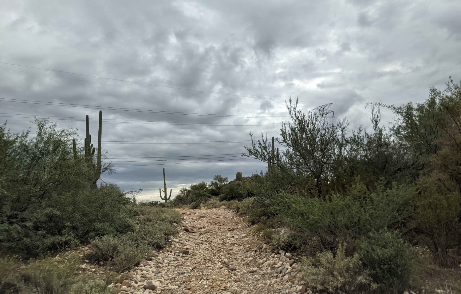
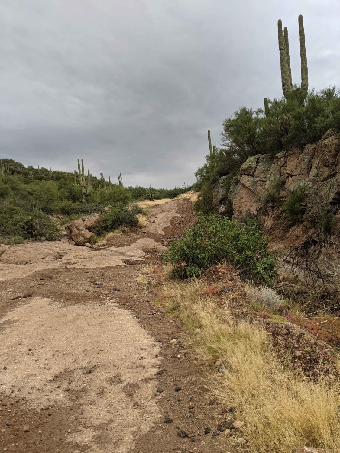
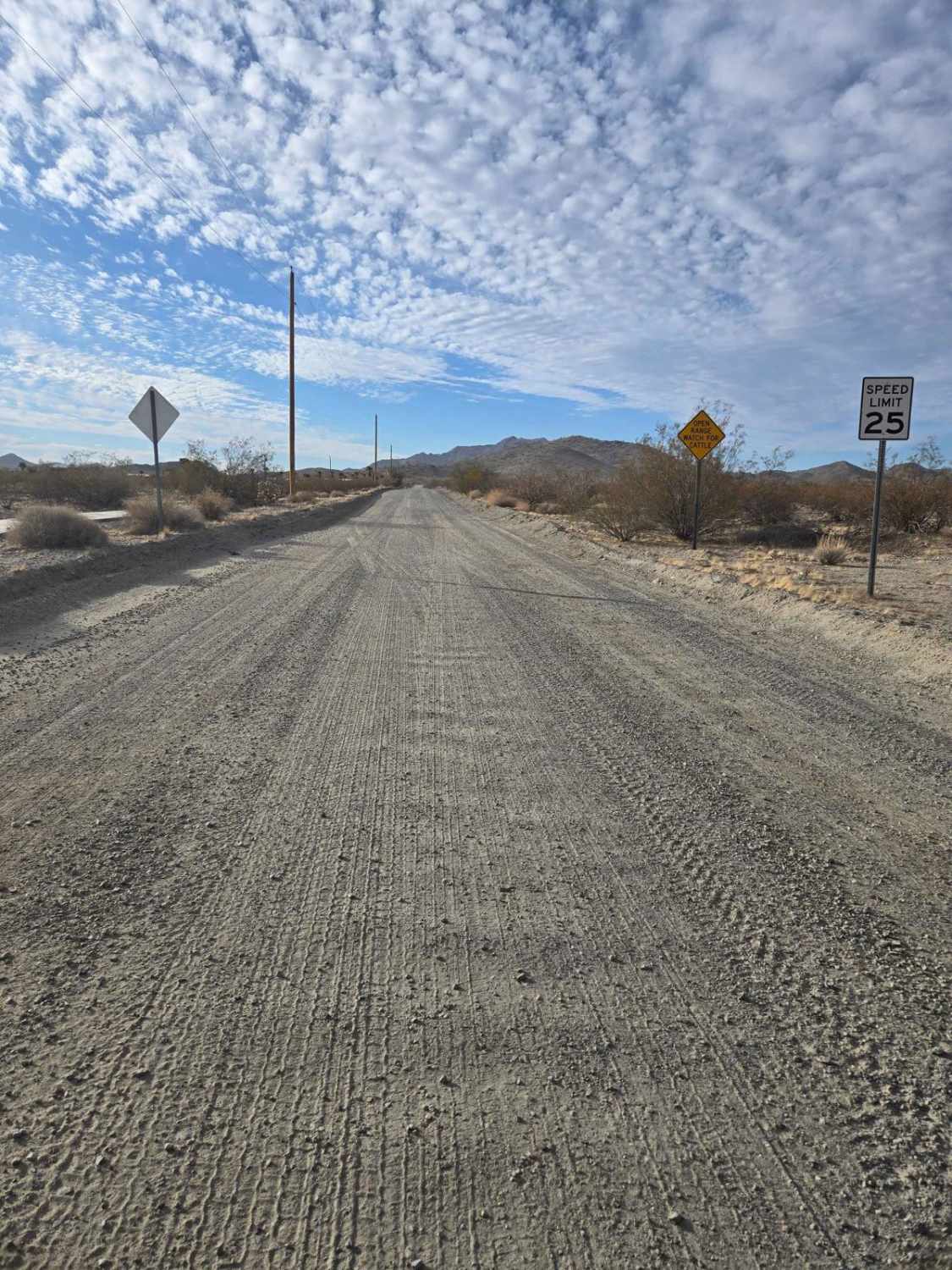
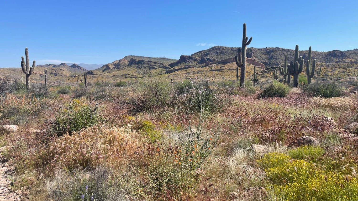
Trail Overview
This is a beautiful trail in close proximity to Phoenix. It starts in an amazing canyon and eventually climbs up to 5,000 feet, where you'll get breathtaking desert and mountain views. ATVs and UTVs can use Hewitt Station Road to complete a loop. There are some great camping spots along the way.
Photos of Montana Mountain Loop
Difficulty
Obstacles change throughout the year so it could be rated a 3 one day and a potential of a 6 another. Pending the water and the placement of rocks many of the trails vary in difficulty. The lower area has had multiple trails that have disappeared due to moving water and the wash swallowing them. Sometimes due to changing conditions routes may require some tight spots through bushes, rocks and other areas to get to the trail path.
Status Reports
Montana Mountain Loop can be accessed by the following ride types:
- High-Clearance 4x4
- SUV
- SxS (60")
- ATV (50")
- Dirt Bike
Montana Mountain Loop Map
Popular Trails
Hovatter Road

Sols Tricky Washout

Atkins Cutoff
First Water Trail
The onX Offroad Difference
onX Offroad combines trail photos, descriptions, difficulty ratings, width restrictions, seasonality, and more in a user-friendly interface. Available on all devices, with offline access and full compatibility with CarPlay and Android Auto. Discover what you’re missing today!