Off-Road Trails in Arizona
Discover off-road trails in Arizona
Learn more about Lone Mountain Tank
Lone Mountain Tank
Total Miles
0.9
Tech Rating
Easy
Best Time
Spring, Summer, Fall, Winter
Learn more about Lone Pine Divide
Lone Pine Divide
Total Miles
39.2
Tech Rating
Easy
Best Time
Spring, Fall, Summer
Learn more about Long Gulch
Long Gulch
Total Miles
3.0
Tech Rating
Moderate
Best Time
Spring, Summer, Fall, Winter
Learn more about Long Valley Dispersed
Long Valley Dispersed
Total Miles
1.4
Tech Rating
Easy
Best Time
Spring, Summer, Fall
Learn more about Long Valley Point
Long Valley Point
Total Miles
1.9
Tech Rating
Easy
Best Time
Spring, Summer, Fall
Learn more about Long Valley West
Long Valley West
Total Miles
2.4
Tech Rating
Easy
Best Time
Spring, Summer, Fall
Learn more about Long Way Around
Long Way Around
Total Miles
23.3
Tech Rating
Easy
Best Time
Spring, Summer, Fall, Winter
Learn more about LOOK! a Ridgeline
LOOK! a Ridgeline
Total Miles
1.2
Tech Rating
Easy
Best Time
Winter, Fall, Spring
Learn more about Lookout for Limestone
Lookout for Limestone
Total Miles
2.7
Tech Rating
Moderate
Best Time
Fall, Spring
Learn more about Loop Canyon - Single Track
Loop Canyon - Single Track
Total Miles
1.5
Tech Rating
Moderate
Best Time
Spring, Summer, Fall, Winter
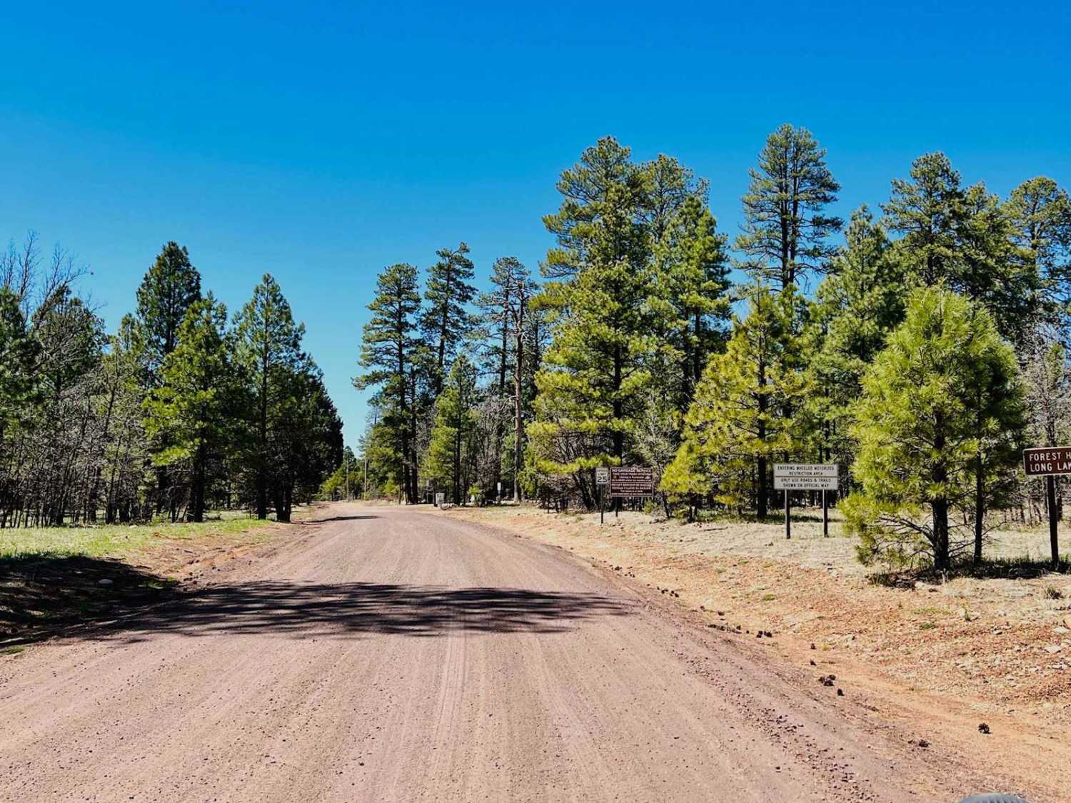
Learn more about Loop Road / 108 South Section
Loop Road / 108 South Section
Total Miles
7.0
Tech Rating
Easy
Best Time
Spring, Summer, Fall
Learn more about Loop Road N. / 108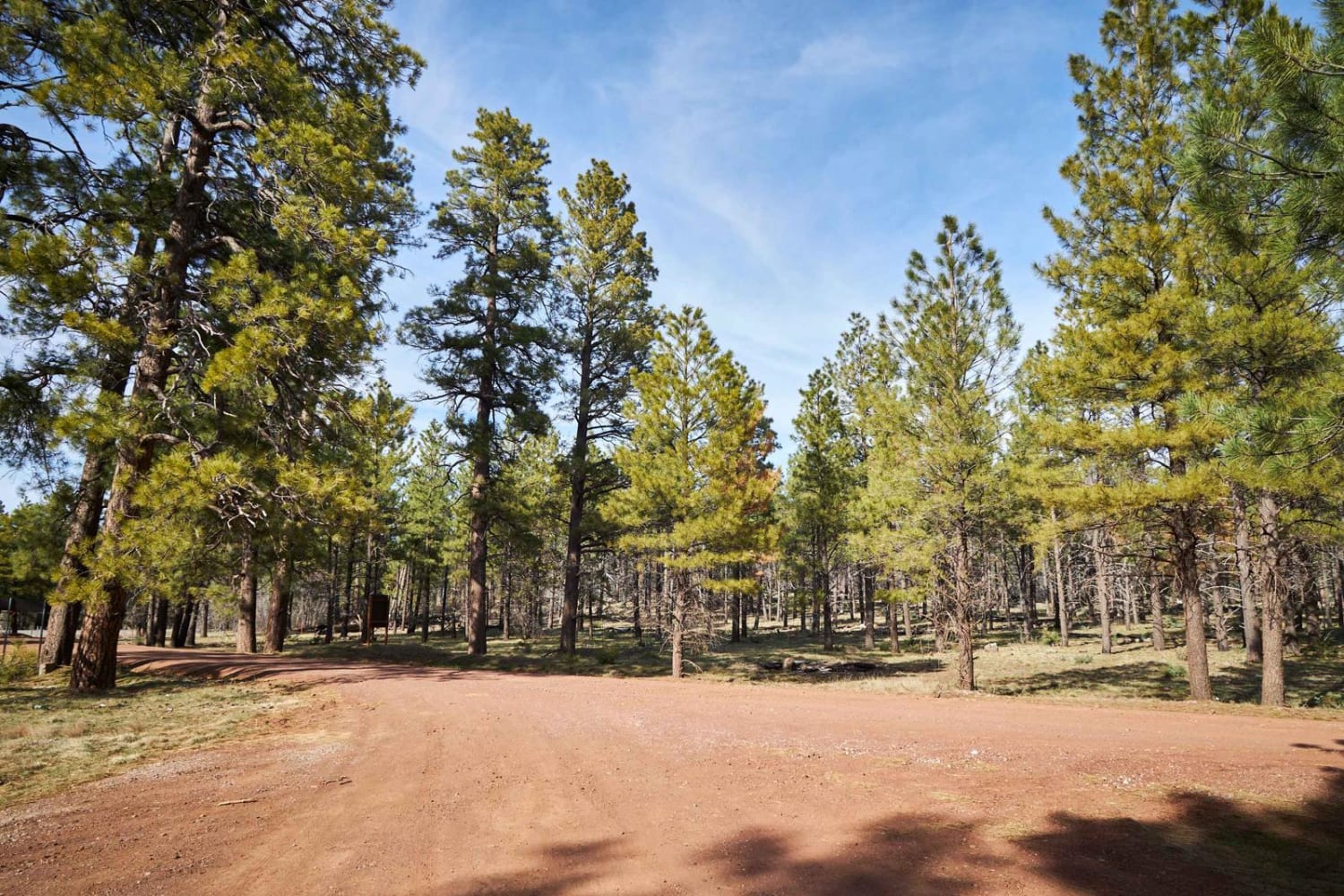
Loop Road N. / 108
Total Miles
5.5
Tech Rating
Easy
Best Time
Spring, Fall, Winter
Learn more about Los Ranchitos
Los Ranchitos
Total Miles
3.5
Tech Rating
Easy
Best Time
Spring, Summer, Fall
Learn more about Lost Cabin Wash Trail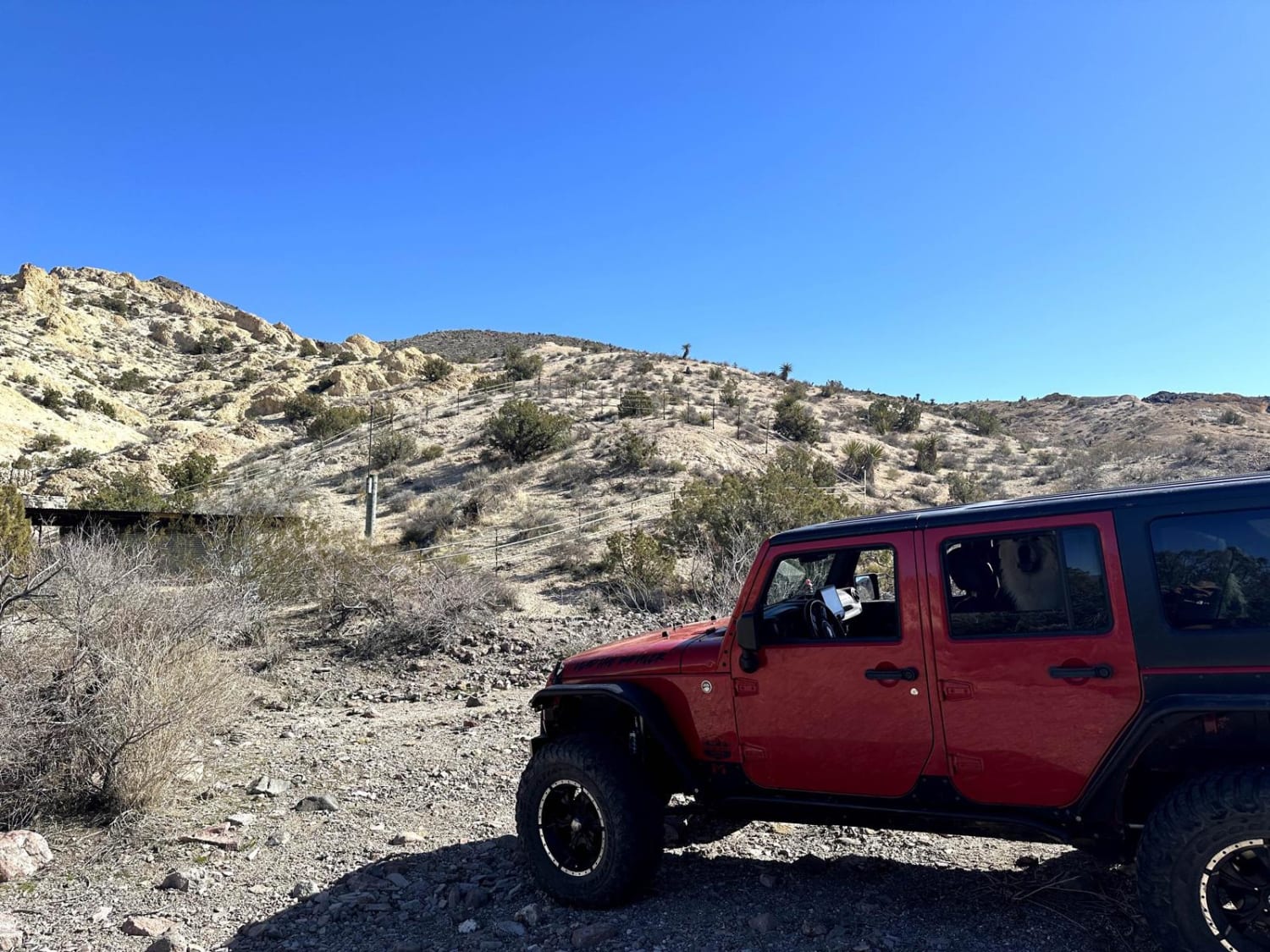
Lost Cabin Wash Trail
Total Miles
4.3
Tech Rating
Easy
Best Time
Spring, Summer, Fall, Winter
Learn more about Lost Logger Trail
Lost Logger Trail
Total Miles
1.9
Tech Rating
Easy
Best Time
Winter, Fall, Summer, Spring
Learn more about Lost Pines Cutoff FS 6149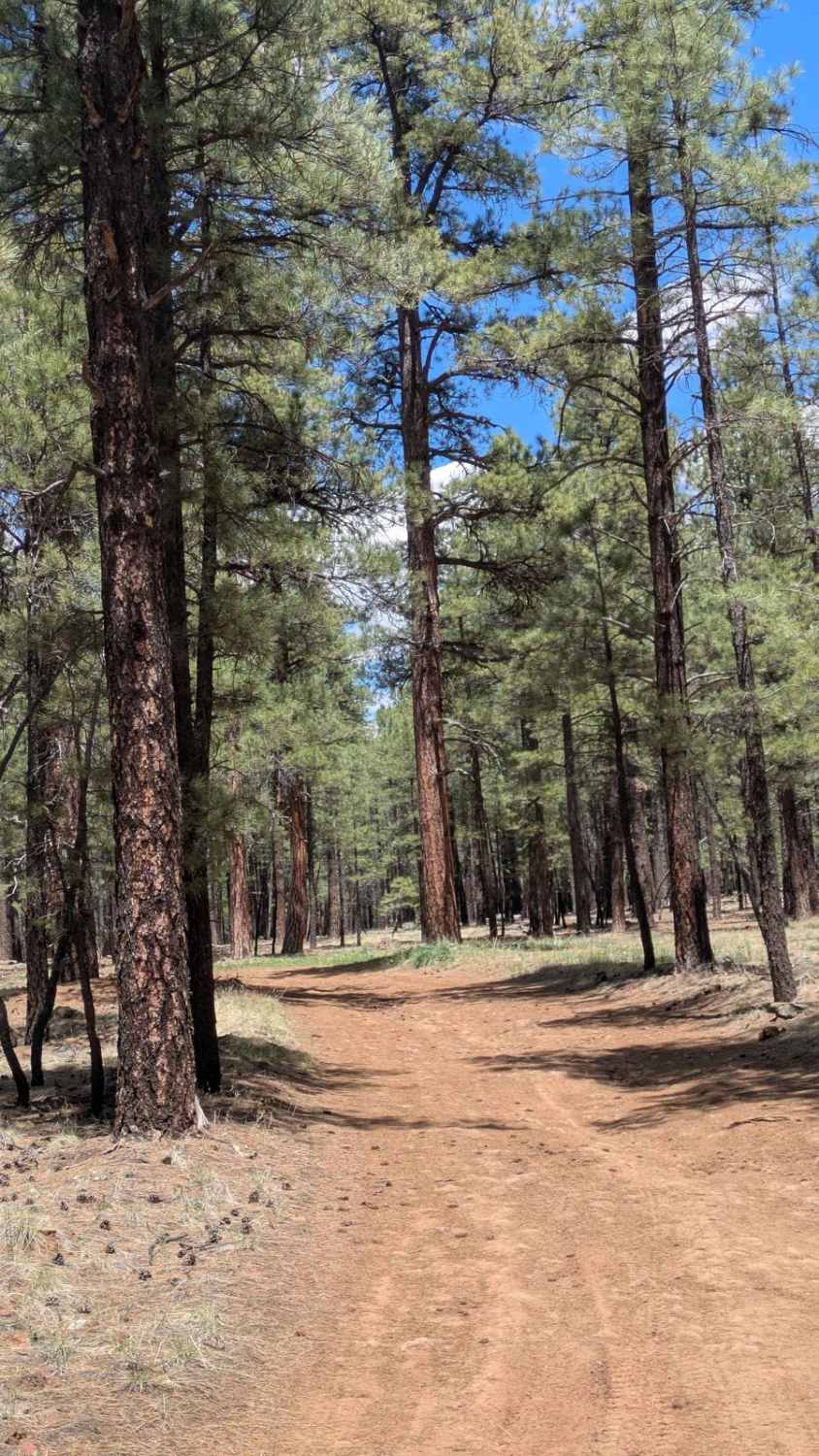
Lost Pines Cutoff FS 6149
Total Miles
0.6
Tech Rating
Easy
Best Time
Winter, Fall, Spring
Learn more about Lost Spring Mesa BLM 2100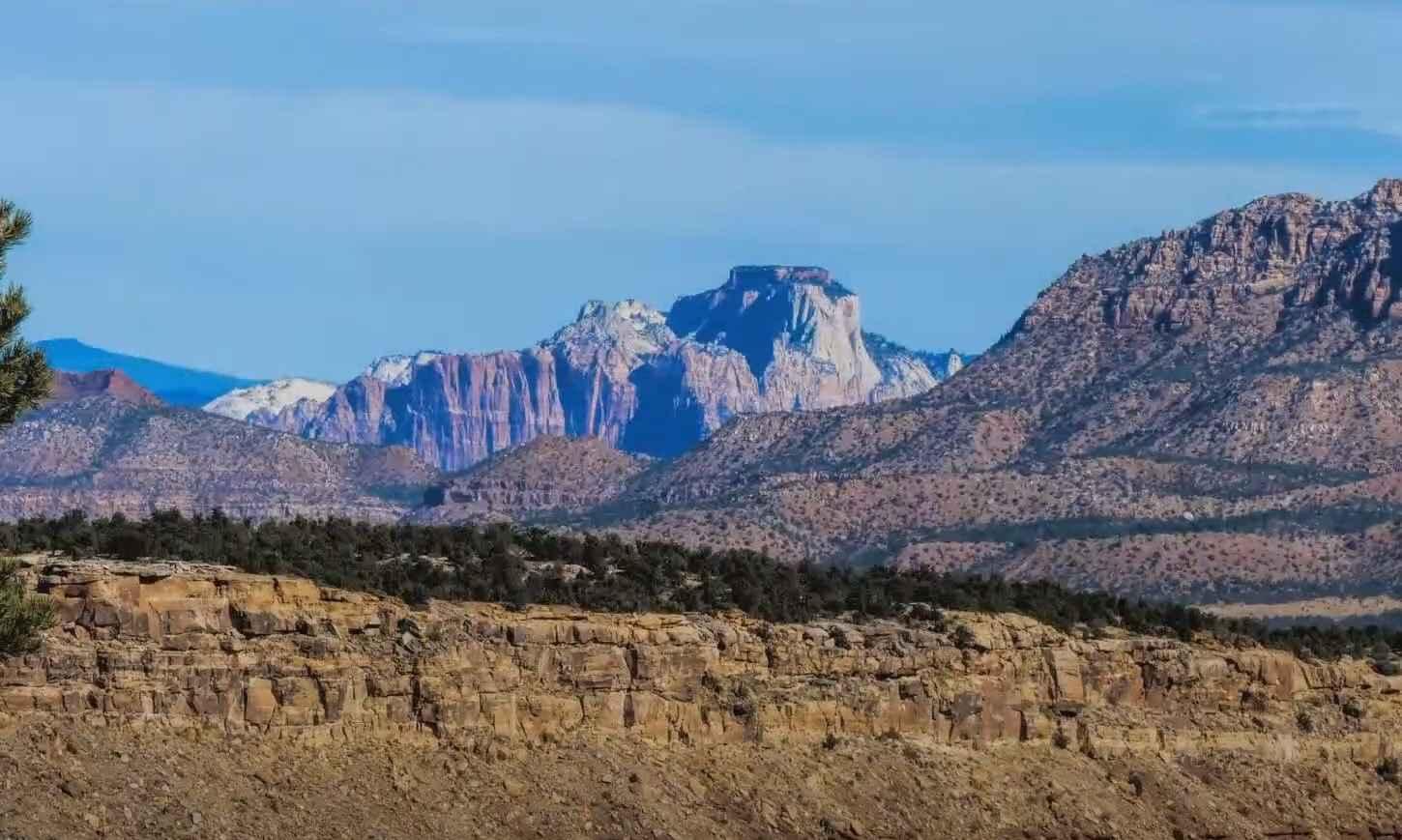
Lost Spring Mesa BLM 2100
Total Miles
16.0
Tech Rating
Easy
Best Time
Spring, Summer, Fall, Winter
ATV trails in Arizona
Learn more about Scrub Oak Bypass 
Scrub Oak Bypass
Total Miles
0.5
Tech Rating
Easy
Best Time
Spring, Summer, Fall


UTV/side-by-side trails in Arizona
Learn more about Scrub Oak Bypass
Scrub Oak Bypass
Total Miles
0.5
Tech Rating
Easy
Best Time
Spring, Summer, Fall
The onX Offroad Difference
onX Offroad combines trail photos, descriptions, difficulty ratings, width restrictions, seasonality, and more in a user-friendly interface. Available on all devices, with offline access and full compatibility with CarPlay and Android Auto. Discover what you’re missing today!