Melendrez Pass
Total Miles
4.4
Technical Rating
Best Time
Spring, Winter, Fall, Summer
Trail Type
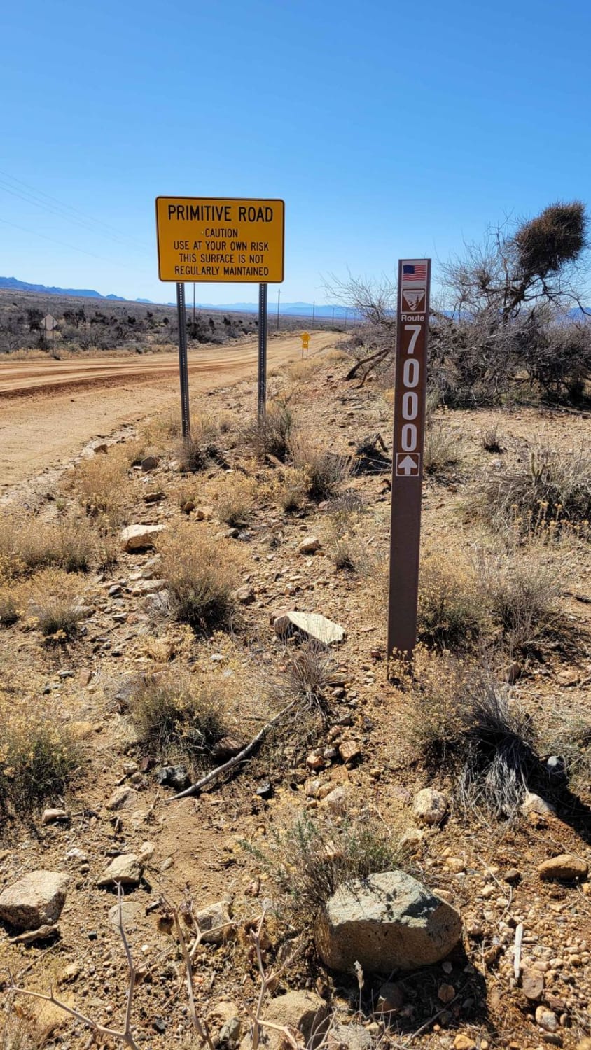
Full-Width Road
Accessible By
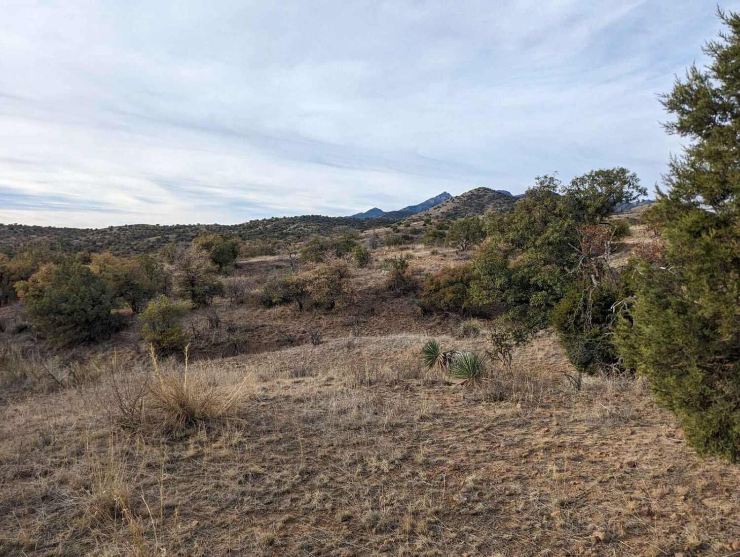
Trail Overview
Melendrez Pass is a scenic off-road trail located in Arizona, ideal for those looking to explore the rugged beauty of the desert. Along the way, you'll encounter stunning views of the surrounding mountains and valleys, as well as opportunities to spot local wildlife. It's a great spot for a day trip, with plenty of places to stop and enjoy the natural surroundings. Be sure to check the weather conditions before heading out, as rain or snow could affect the road. Traveling on back roads can be risky, so always be mindful of weather and road conditions. Carry plenty of water, never travel alone, and inform someone of your plans. Since cell service is unreliable, it's a good idea to download your map before your trip. The time to complete the trail and its difficulty depend on various factors, including the type of vehicle used and the riders' capabilities.
Photos of Melendrez Pass

Difficulty
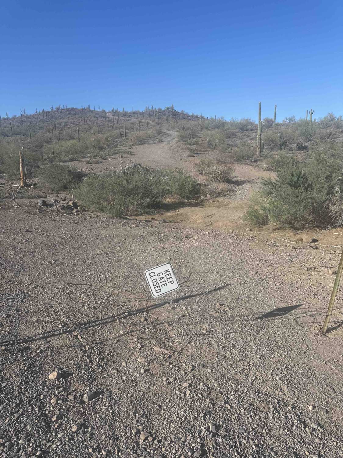
This moderately challenging off-road trail provides an exciting adventure for those looking to test their driving skills while enjoying beautiful natural scenery. The trail features a mix of loose gravel, mild off camber sections and occasional steep inclines that require careful navigation.It's essential to check the weather conditions before heading out, as rain or snow can significantly impact road safety. Traveling on back roads can be risky, so being aware of both weather and road conditions is crucial. Be sure to carry plenty of water, avoid traveling alone, and inform someone of your plans--these are all wise precautions. Since cell service can be unreliable in some areas, downloading your maps prior to your trip is a smart idea. The time it takes to complete a trail and its difficulty depend on various factors, including the type of vehicle used and the riders' abilities. Always prioritize safety!
Status Reports
Melendrez Pass can be accessed by the following ride types:
- High-Clearance 4x4
- SUV
- SxS (60")
- ATV (50")
- Dirt Bike
Melendrez Pass Map
Popular Trails

BLM 2080/Sand Ridge 1055
Spur Loop to Chloride AZ Peace Trail Connector (Northeast)

The onX Offroad Difference
onX Offroad combines trail photos, descriptions, difficulty ratings, width restrictions, seasonality, and more in a user-friendly interface. Available on all devices, with offline access and full compatibility with CarPlay and Android Auto. Discover what you’re missing today!