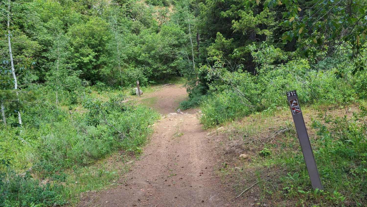
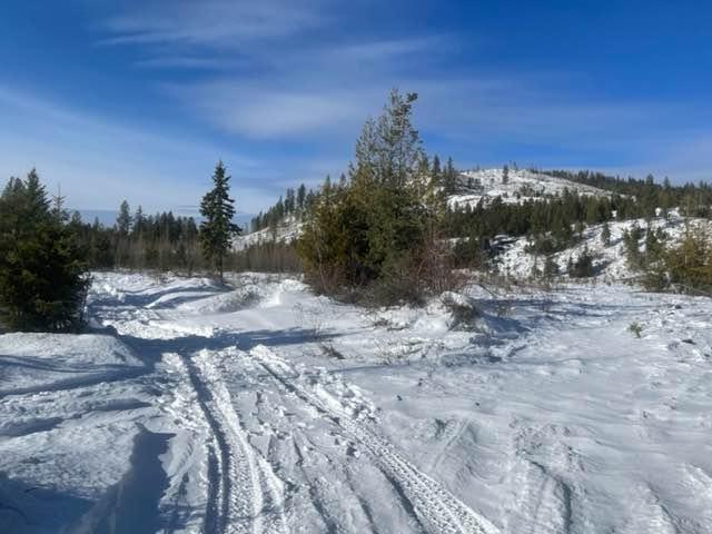
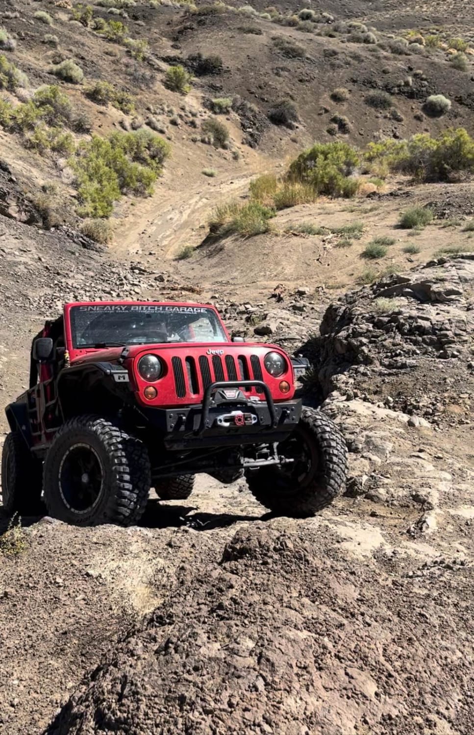
Off-Road Trails in Idaho
Discover off-road trails in Idaho
Learn more about Lochsa Down River
Lochsa Down River
Total Miles
14.7
Tech Rating
Difficult
Best Time
Summer, Fall
Learn more about Logger Springs Road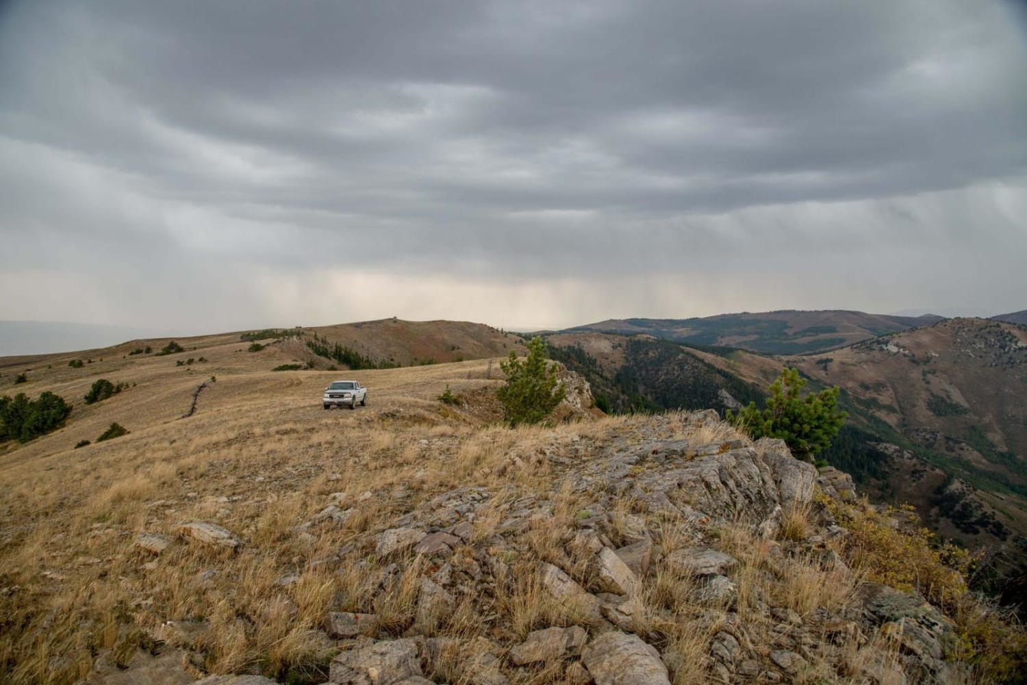
Logger Springs Road
Total Miles
15.2
Tech Rating
Moderate
Best Time
Spring, Summer, Fall, Winter
Learn more about Lola Creek Trail
Lola Creek Trail
Total Miles
1.5
Tech Rating
Easy
Best Time
Fall, Summer, Spring
Learn more about Lolo Motorway (aka FS Rd #500)
Lolo Motorway (aka FS Rd #500)
Total Miles
93.6
Tech Rating
Moderate
Best Time
Summer
Learn more about Lone Cabin Creek
Lone Cabin Creek
Total Miles
2.8
Tech Rating
Easy
Best Time
Fall, Summer, Spring
Learn more about Lone Pine #3343
Lone Pine #3343
Total Miles
2.7
Tech Rating
Moderate
Best Time
Summer, Fall
Learn more about Lone Pine Pass ATV Trail
Lone Pine Pass ATV Trail
Total Miles
4.3
Tech Rating
Moderate
Best Time
Spring, Summer, Fall
Learn more about Long Canyon Road
Long Canyon Road
Total Miles
3.8
Tech Rating
Easy
Best Time
Spring, Summer, Fall
Learn more about Long Canyon Trail
Long Canyon Trail
Total Miles
3.4
Tech Rating
Easy
Best Time
Summer, Fall
Learn more about Long Creek - FS 545
Long Creek - FS 545
Total Miles
15.4
Tech Rating
Moderate
Best Time
Summer, Fall
Learn more about Loop Creek Road - NF 326
Loop Creek Road - NF 326
Total Miles
3.4
Tech Rating
Easy
Best Time
Spring, Summer, Fall

Learn more about Lost River Range Loop
Lost River Range Loop
Total Miles
33.1
Tech Rating
Easy
Best Time
Summer, Fall
Learn more about Lost River Road to Blaze Canyon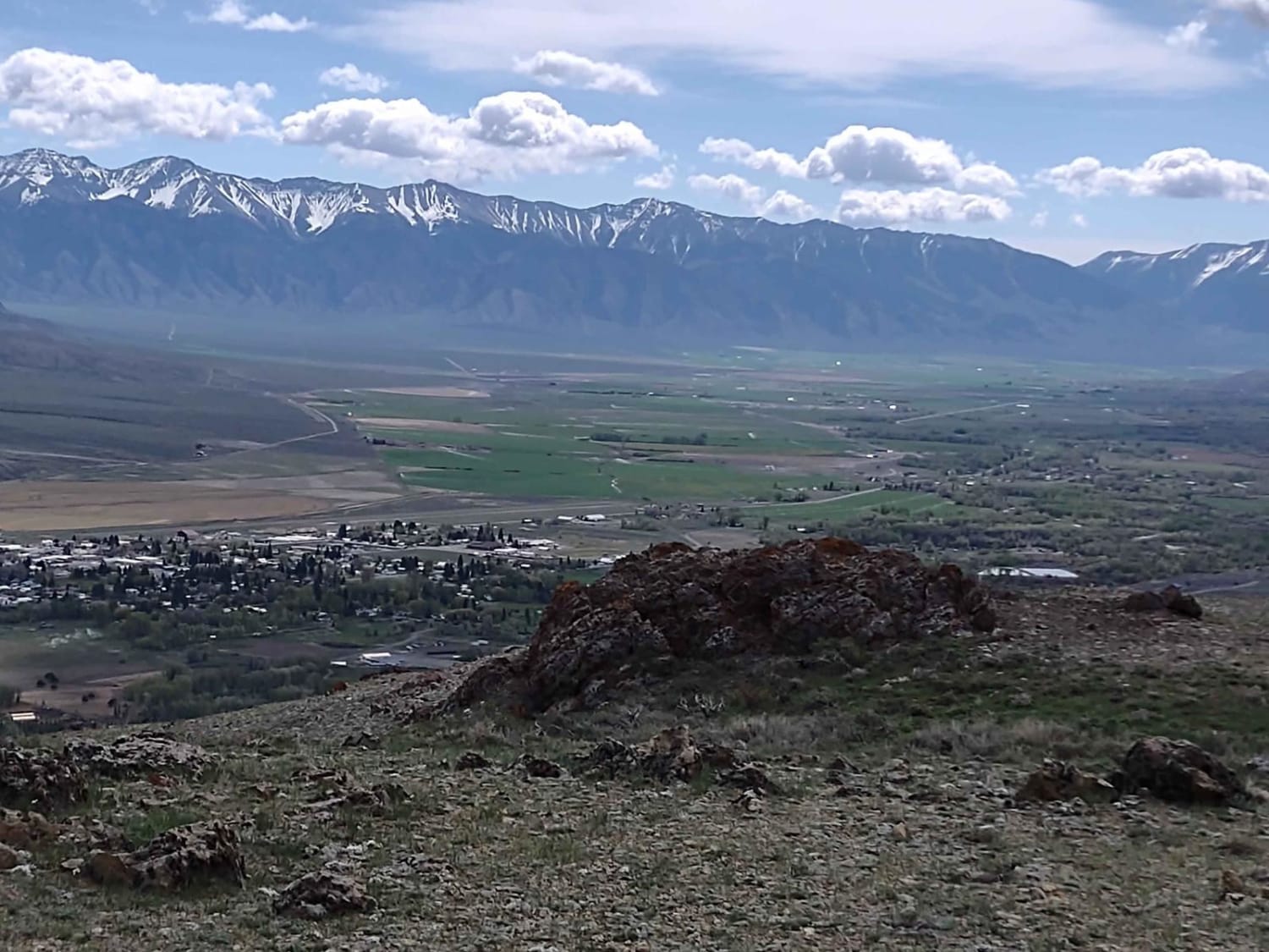
Lost River Road to Blaze Canyon
Total Miles
3.1
Tech Rating
Easy
Best Time
Spring, Summer, Fall
Learn more about Lost Valley Reservoir Loop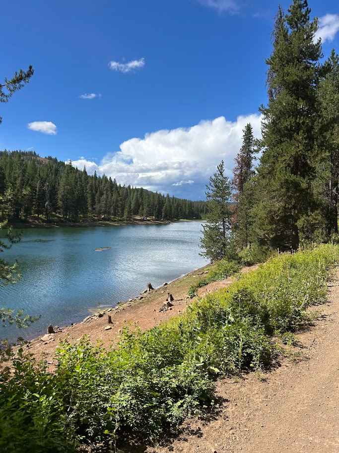
Lost Valley Reservoir Loop
Total Miles
7.9
Tech Rating
Easy
Best Time
Spring, Summer, Fall, Winter

ATV trails in Idaho
Learn more about Aspen Range - Middle Sulphur #5248 
Aspen Range - Middle Sulphur #5248
Total Miles
1.9
Tech Rating
Easy
Best Time
Summer, Fall
Learn more about Dry Fork - Meadow Springs #5226 
Dry Fork - Meadow Springs #5226
Total Miles
0.4
Tech Rating
Easy
Best Time
Summer, Fall
Learn more about South Foothill Road
South Foothill Road
Total Miles
8.2
Tech Rating
Moderate
Best Time
Summer, Fall

UTV/side-by-side trails in Idaho
Learn more about South Foothill Road
South Foothill Road
Total Miles
8.2
Tech Rating
Moderate
Best Time
Summer, Fall

Learn more about 21 To Nip & Tuck
21 To Nip & Tuck
Total Miles
1.4
Tech Rating
Easy
Best Time
Fall, Summer, Spring

The onX Offroad Difference
onX Offroad combines trail photos, descriptions, difficulty ratings, width restrictions, seasonality, and more in a user-friendly interface. Available on all devices, with offline access and full compatibility with CarPlay and Android Auto. Discover what you’re missing today!