Lolo Motorway (aka FS Rd #500)
Total Miles
93.6
Technical Rating
Best Time
Summer
Trail Type
Full-Width Road
Accessible By
Trail Overview
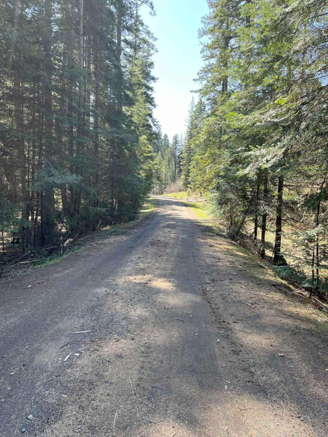
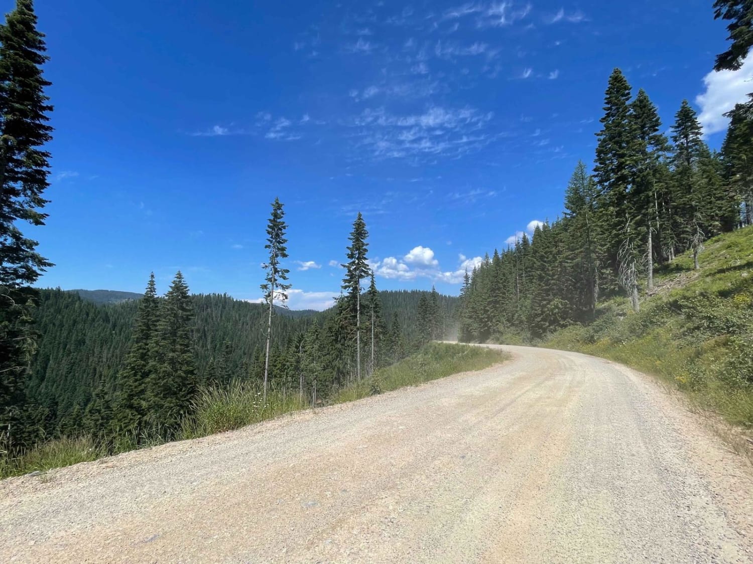
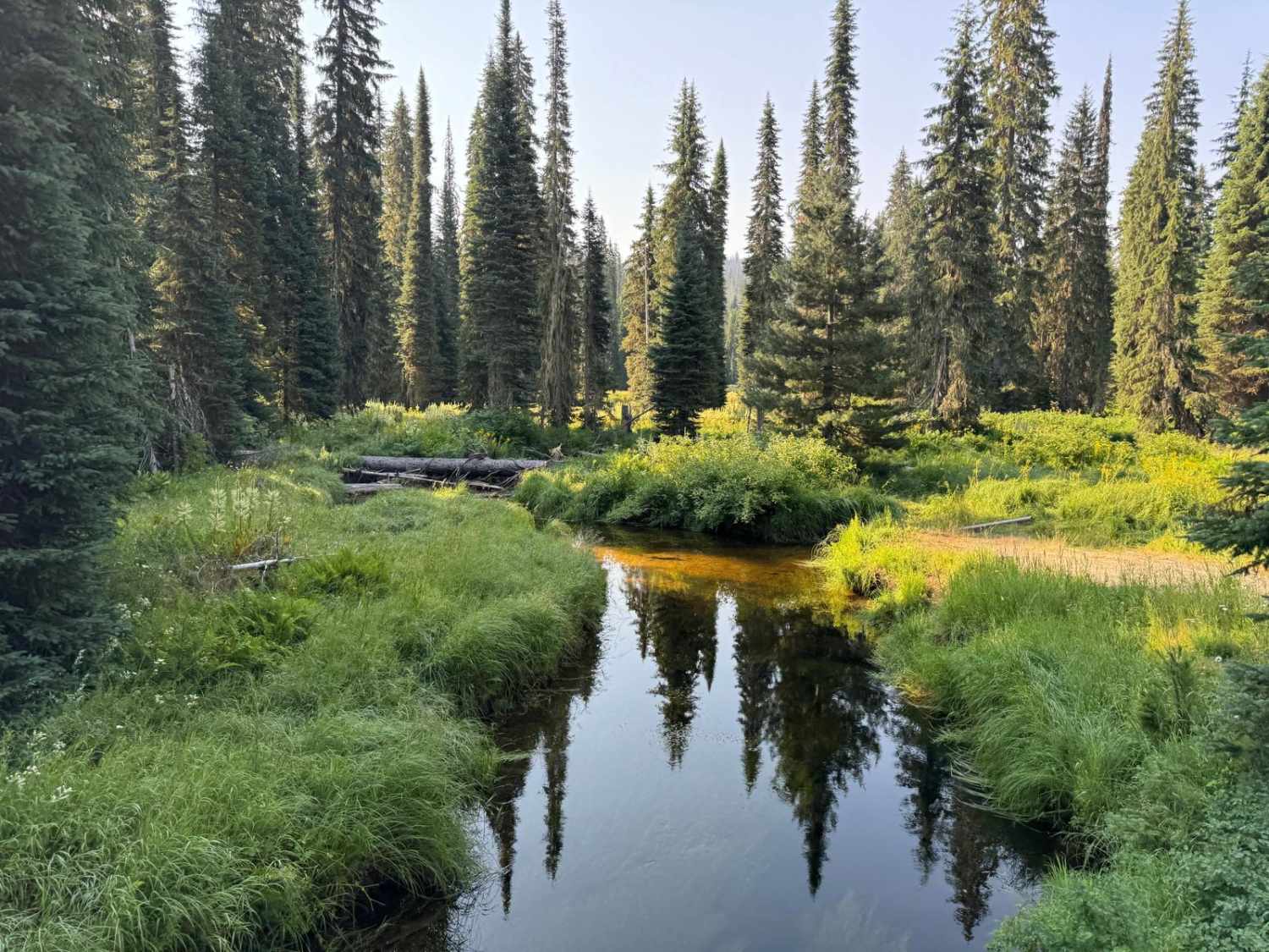
The Lolo Motorway(Forest Road 500) is a roughly 95-mile narrow, winding primitive road. The single-lane road, partially built by the Civilian Conservation Corps in the 1930, travels close to the Nez Perce Trail. Portions of this road are single-lane, and there are washouts. High clearance 4x4 only, and be prepared for a long day if you are not camping on the trail. This took us over 8 hours to complete. Be prepared for down trees and changing trail conditions. The road is free from ice and snow in mid-July and usually accessible into October. Lewis & Clark followed the Nez Perce Trail across the Bitterroot Mountains in 1805 and returned in 1806. Several stops along the trail contain information on Lewis & Clark's journey. The Nez Perce used the trail to access hunting, fishing, and food-gathering areas. This route includes a 1/2 mile side trip to Rocky Ridge Lake. Please remember a large portion of this trail follows the historical Nez Peace Trail - please pack it in, pack it out, and respect the area.
Photos of Lolo Motorway (aka FS Rd #500)
Difficulty
There are sections that I would definitely call a trail with washouts, rocks and a section on a single-lane shelf road.
Status Reports
Lolo Motorway (aka FS Rd #500) can be accessed by the following ride types:
- High-Clearance 4x4
- SUV
- SxS (60")
- ATV (50")
- Dirt Bike
Lolo Motorway (aka FS Rd #500) Map
Popular Trails

Cold Spring Summit View #5211

East Fork Big Bear Creek

CDA Deception Creek

BLM 3780 - Star Valley Ranch
The onX Offroad Difference
onX Offroad combines trail photos, descriptions, difficulty ratings, width restrictions, seasonality, and more in a user-friendly interface. Available on all devices, with offline access and full compatibility with CarPlay and Android Auto. Discover what you’re missing today!

