Off-Road Trails in Idaho
Discover off-road trails in Idaho
Learn more about Canfield Mountain- Trail 1 
Canfield Mountain- Trail 1
Total Miles
1.1
Tech Rating
Difficult
Best Time
Spring, Summer, Fall
Learn more about Canfield Mountain- Trail 11
Canfield Mountain- Trail 11
Total Miles
1.5
Tech Rating
Easy
Best Time
Spring, Summer, Fall
Learn more about Canfield Mountain- Trail 3 
Canfield Mountain- Trail 3
Total Miles
1.2
Tech Rating
Moderate
Best Time
Spring, Summer, Fall
Learn more about Canfield Mountain- Trail 5 
Canfield Mountain- Trail 5
Total Miles
0.9
Tech Rating
Moderate
Best Time
Spring, Summer, Fall
Learn more about Canfield Mountain- Trail 6 
Canfield Mountain- Trail 6
Total Miles
1.2
Tech Rating
Easy
Best Time
Spring, Summer, Fall
Learn more about Canfield Mountain- Trail 9 
Canfield Mountain- Trail 9
Total Miles
1.6
Tech Rating
Moderate
Best Time
Spring, Summer, Fall
Learn more about Canfield Mountain- Trail D 
Canfield Mountain- Trail D
Total Miles
3.6
Tech Rating
Difficult
Best Time
Spring, Summer, Fall
Learn more about Canfield OHV 
Canfield OHV
Total Miles
2.6
Tech Rating
Easy
Best Time
Spring, Summer, Fall
Learn more about Canter Springs to Sand Basin Road
Canter Springs to Sand Basin Road
Total Miles
10.3
Tech Rating
Moderate
Best Time
Spring, Summer, Fall
Learn more about Canyon Fork Creek Road
Canyon Fork Creek Road
Total Miles
8.5
Tech Rating
Easy
Best Time
Spring, Summer, Fall
Learn more about Canyon View Corkscrew
Canyon View Corkscrew
Total Miles
4.3
Tech Rating
Easy
Best Time
Spring, Summer, Fall
Learn more about Cape Horn Creek Access
Cape Horn Creek Access
Total Miles
1.6
Tech Rating
Moderate
Best Time
Spring, Summer, Fall
Learn more about Cape Horn Frontage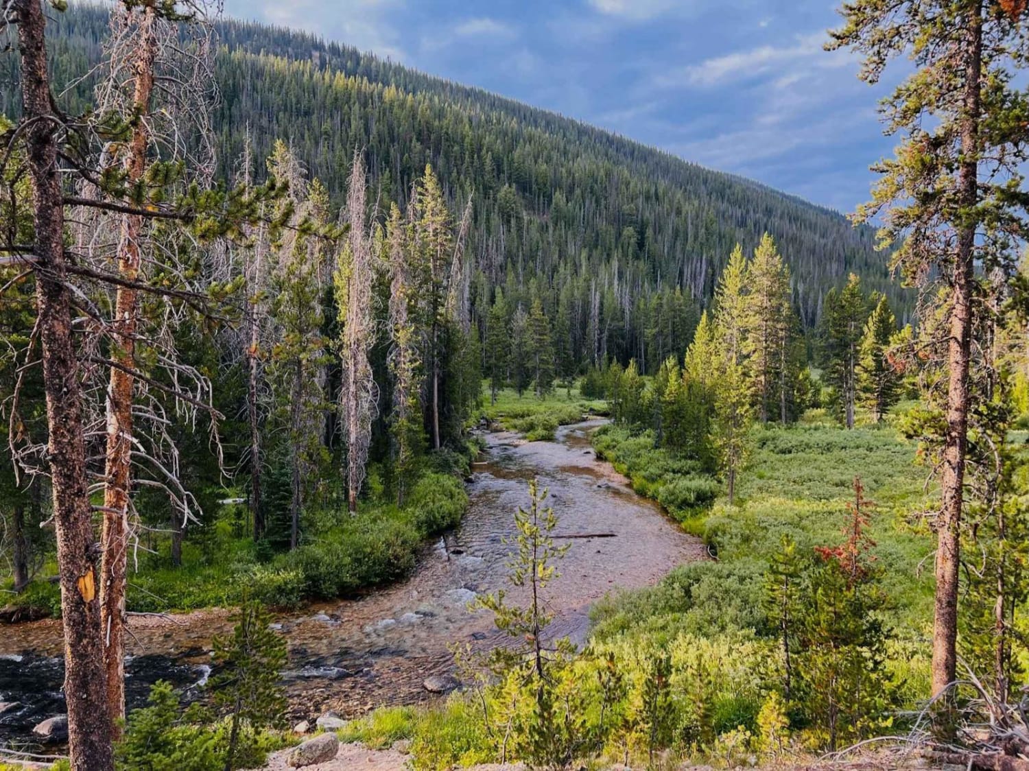
Cape Horn Frontage
Total Miles
1.6
Tech Rating
Easy
Best Time
Spring, Summer, Fall
Learn more about Cape Horn Mountain
Cape Horn Mountain
Total Miles
5.0
Tech Rating
Easy
Best Time
Spring, Summer, Fall
Learn more about Carey Dome Lookout
Carey Dome Lookout
Total Miles
2.2
Tech Rating
Easy
Best Time
Spring, Summer, Fall
Learn more about Caribou City Trail #165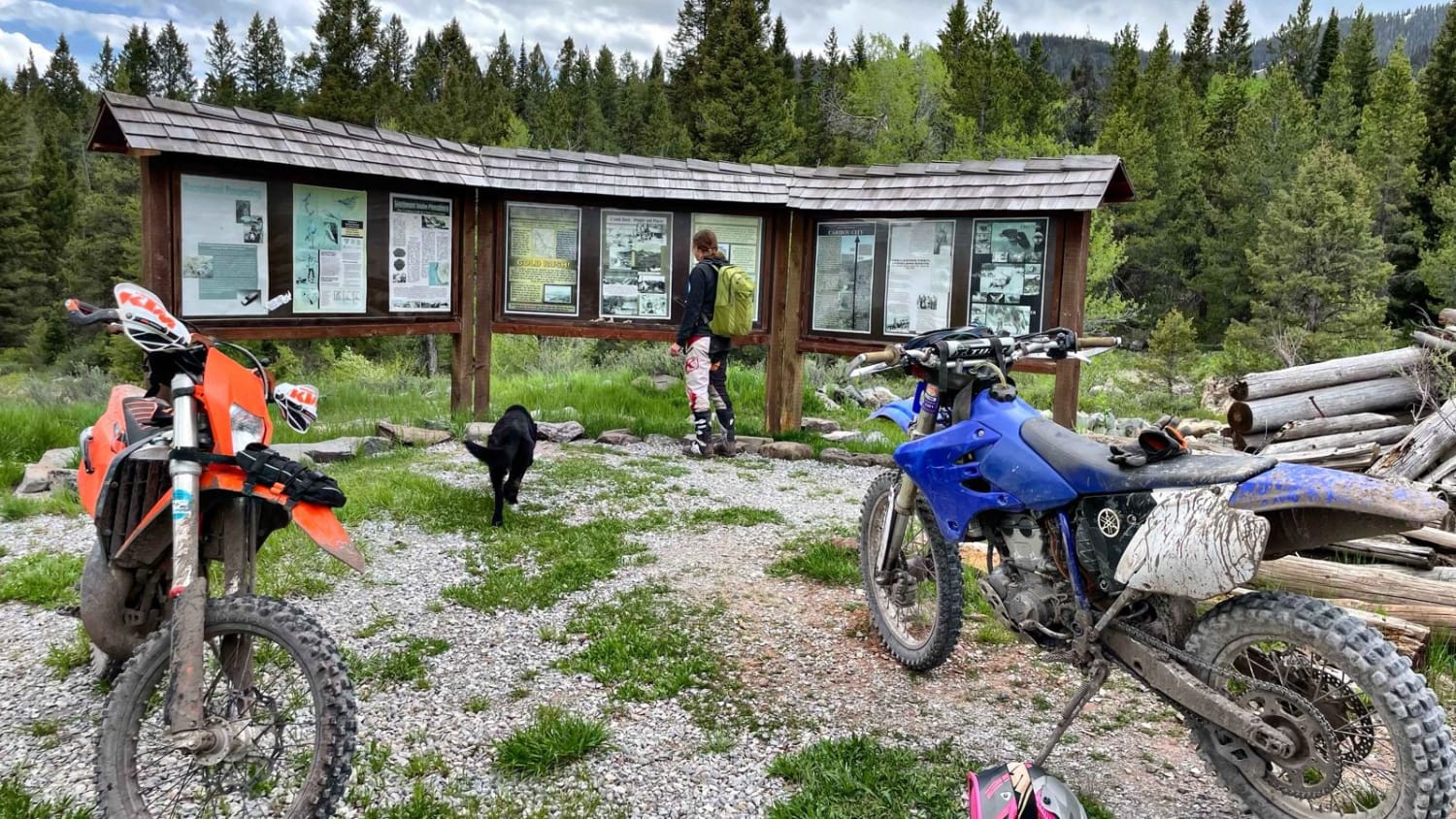
Caribou City Trail #165
Total Miles
3.6
Tech Rating
Easy
Best Time
Spring, Summer, Fall
Learn more about Caribou Mountain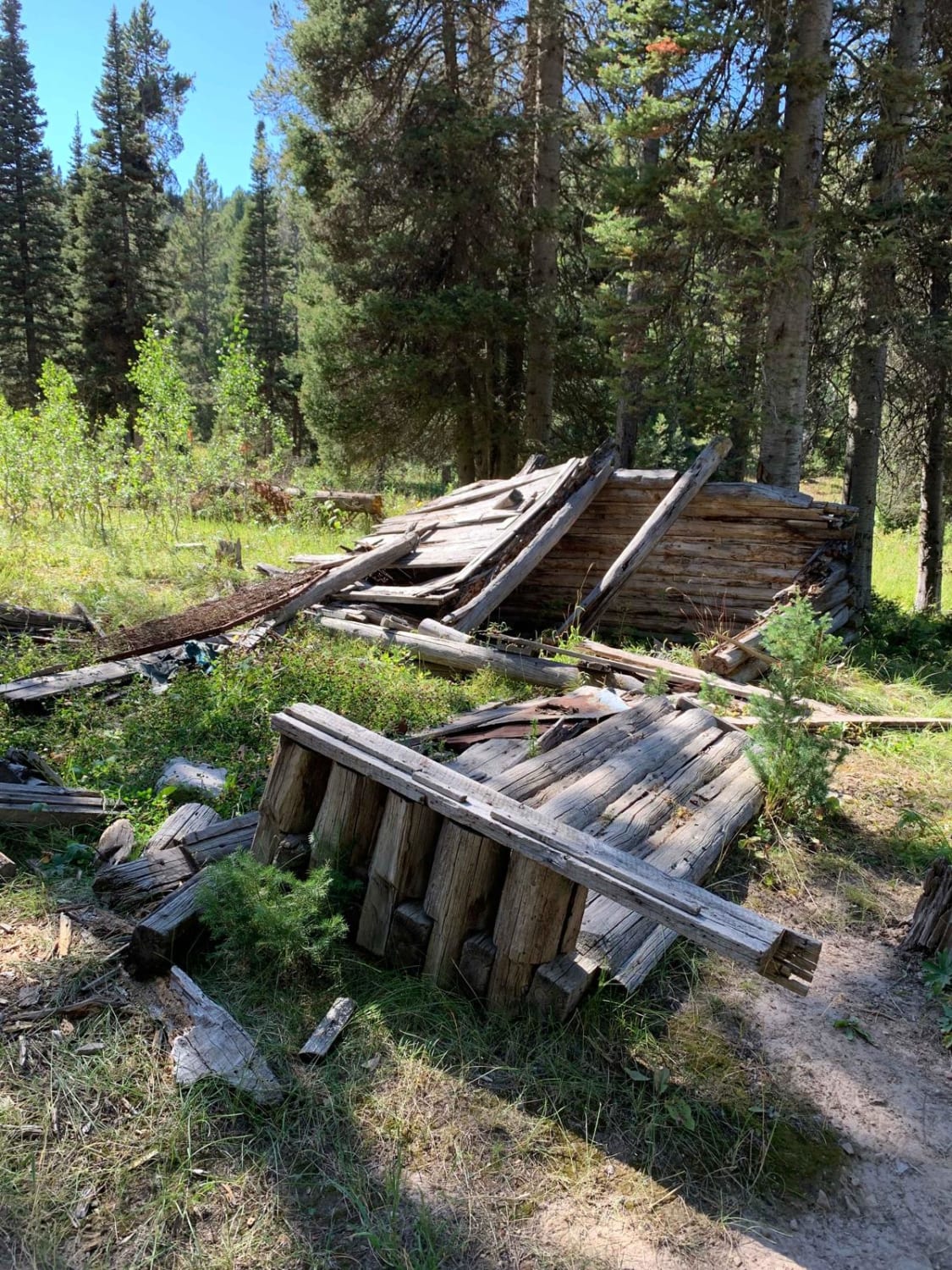
Caribou Mountain
Total Miles
12.0
Tech Rating
Moderate
Best Time
Summer, Fall
Learn more about Carlin Creek/Carrill Ridge
Carlin Creek/Carrill Ridge
Total Miles
6.6
Tech Rating
Easy
Best Time
Spring, Summer, Fall
Learn more about Carrico Mine - FS 4775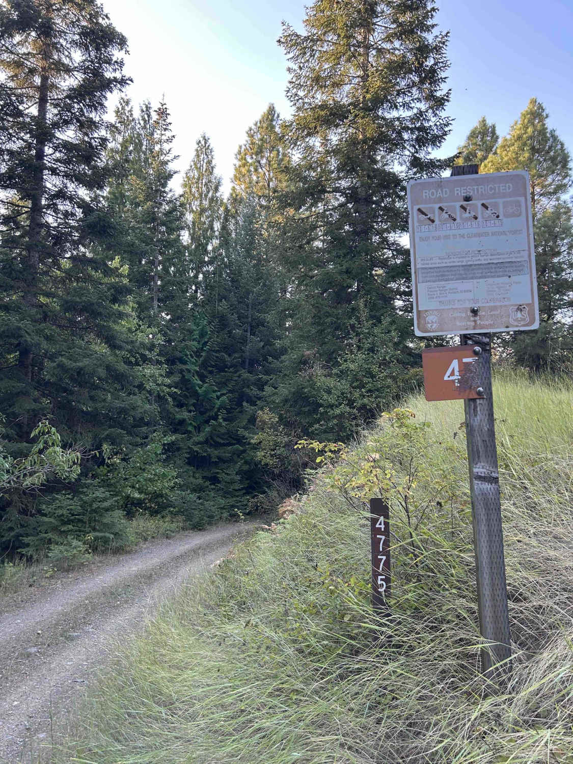
Carrico Mine - FS 4775
Total Miles
1.7
Tech Rating
Easy
Best Time
Summer, Fall
ATV trails in Idaho
Learn more about Aspen Range - Middle Sulphur #5248 
Aspen Range - Middle Sulphur #5248
Total Miles
1.9
Tech Rating
Easy
Best Time
Summer, Fall
Learn more about Dry Fork - Meadow Springs #5226 
Dry Fork - Meadow Springs #5226
Total Miles
0.4
Tech Rating
Easy
Best Time
Summer, Fall
Learn more about South Foothill Road
South Foothill Road
Total Miles
8.2
Tech Rating
Moderate
Best Time
Summer, Fall

UTV/side-by-side trails in Idaho
Learn more about South Foothill Road
South Foothill Road
Total Miles
8.2
Tech Rating
Moderate
Best Time
Summer, Fall

Learn more about 21 To Nip & Tuck
21 To Nip & Tuck
Total Miles
1.4
Tech Rating
Easy
Best Time
Fall, Summer, Spring

The onX Offroad Difference
onX Offroad combines trail photos, descriptions, difficulty ratings, width restrictions, seasonality, and more in a user-friendly interface. Available on all devices, with offline access and full compatibility with CarPlay and Android Auto. Discover what you’re missing today!