Canyon Fork
Total Miles
2.5
Technical Rating
Best Time
Summer, Fall
Trail Type
Single Track
Accessible By
Trail Overview
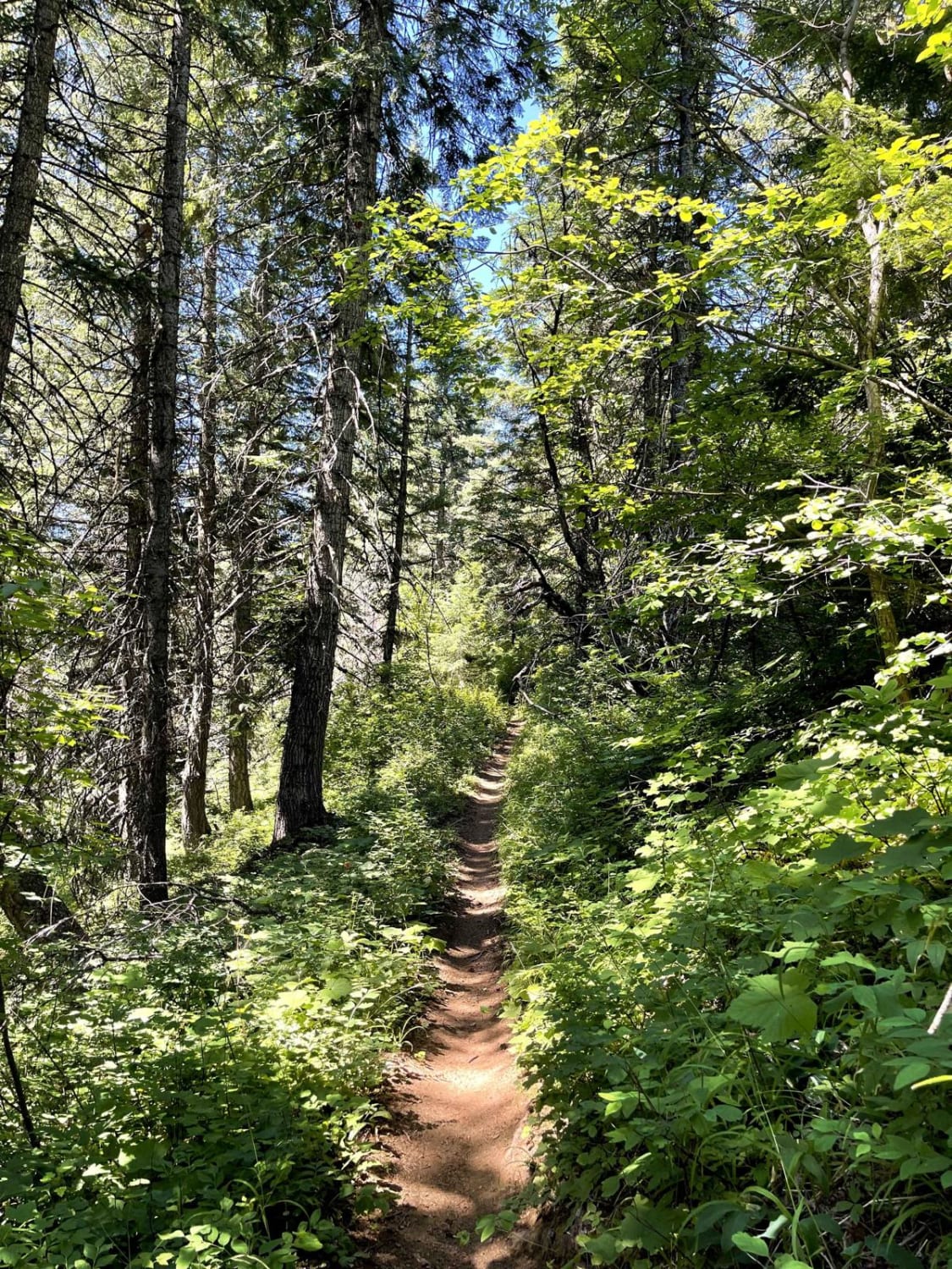
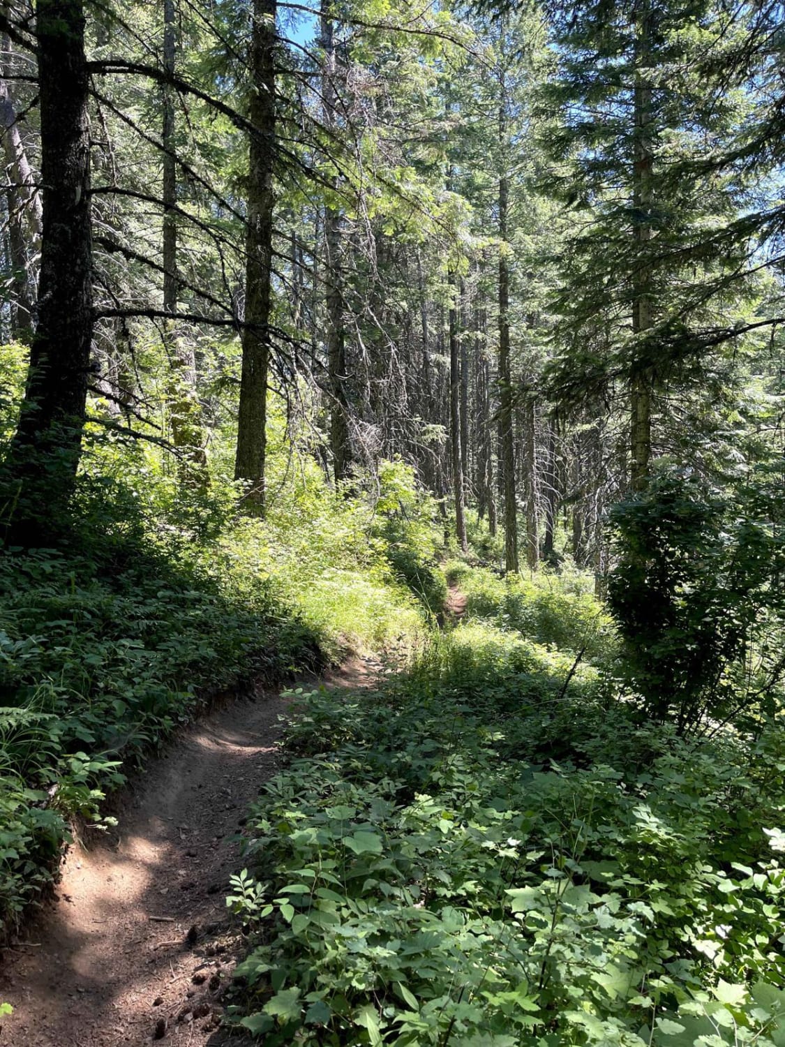
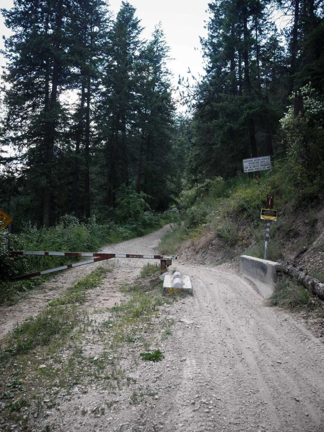
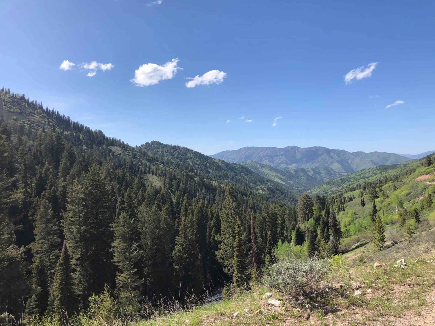
From east to west, Canyon Fork Trail starts off with several steep switchbacks on loose dirt with loose rocks. Trail is likely to be dusty in the summer. The trail levels out and is a moderate single track on a mostly smooth surface with several roots and mild cliff exposure. Much of the trail is in the shade of the trees. The trail crosses an unmarked road, then pops out of the trees on a dustier single track with some loose rocks and sun exposure. Trail crosses Spades Connection Road, and the last segment of the trail turns into a wider road for a bit, then ends with a couple more loose switchbacks. The trail gains 1,700 feet steadily over 2.5 miles.
Photos of Canyon Fork
Difficulty
Trail is mostly easy single track with a few sections of looser rocks and tighter switchbacks. Difficulty is mostly consistent throughout the trail.
Status Reports
Canyon Fork can be accessed by the following ride types:
- Dirt Bike
Canyon Fork Map
Popular Trails
Elk Meadow Trailhead

West Fork #863 Elk Creek
The onX Offroad Difference
onX Offroad combines trail photos, descriptions, difficulty ratings, width restrictions, seasonality, and more in a user-friendly interface. Available on all devices, with offline access and full compatibility with CarPlay and Android Auto. Discover what you’re missing today!