Canfield Mountain- Trail 3
Total Miles
1.2
Technical Rating
Best Time
Spring, Summer, Fall
Trail Type
Single Track
Accessible By
Trail Overview
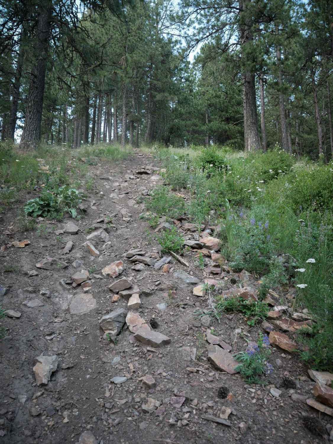
Trail 3 starts off of Trail 1 with a downhill descent that is steep and full of loose rocks. It's also troughed with braided lines. The first part is the steepest. It keeps descending down to a road crossing, then goes through a pinch point. It's a bit less rocky after that first road crossing. It levels out, with some curves through the pine trees and banked corners, and widens up. You have to go through some big trenched mud crossings. Then it gets really steep again near the south end when it goes down another hill. The south end of the trail has a shelfy and narrow section on the edge of the mountainside, before coming to the parking lot on Nettleton Gulch Road.
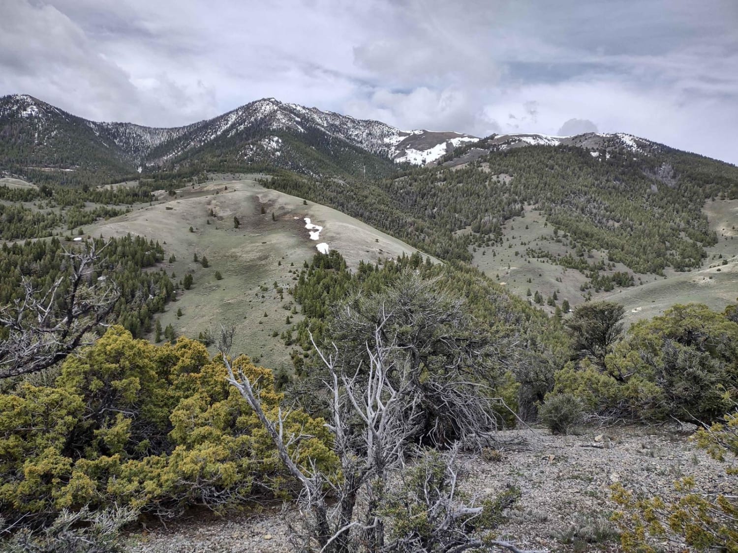
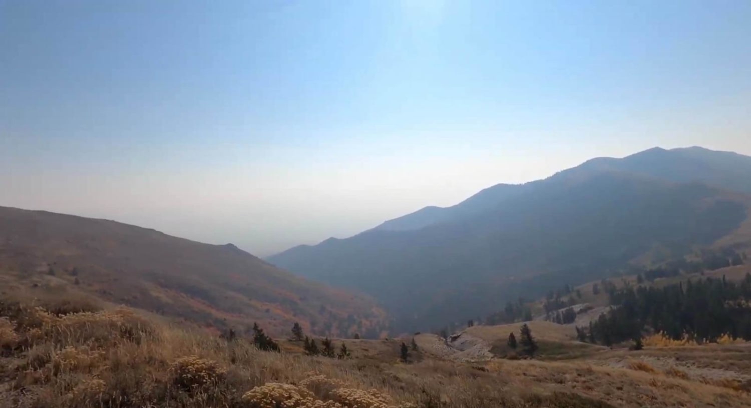
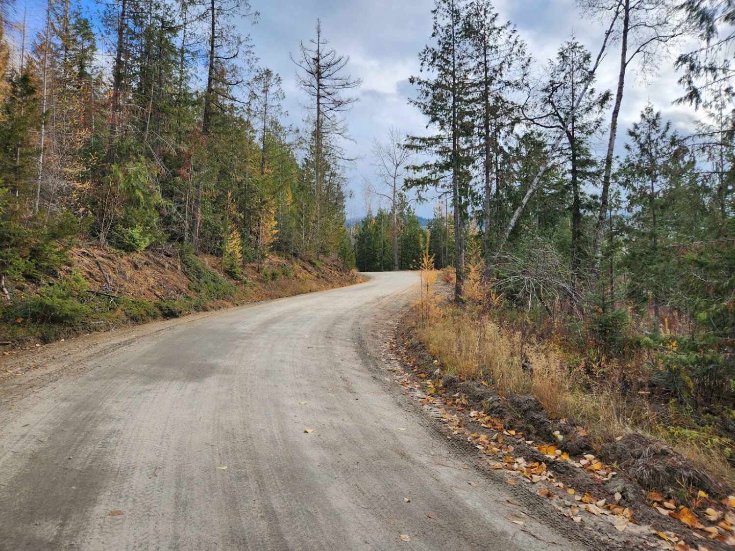
Photos of Canfield Mountain- Trail 3
Difficulty
This is a 6 difficulty if going up, and a 5 if going down, as it is consistently rocky and steep. It's a bit easier than trail 5, which parallels trail 3 in the same direction.
Status Reports
Canfield Mountain- Trail 3 can be accessed by the following ride types:
- Dirt Bike
Canfield Mountain- Trail 3 Map
Popular Trails

Windy Devil - Horseshoe Canyon

Van Noy-Stoddard Road

Scout Mountain
The onX Offroad Difference
onX Offroad combines trail photos, descriptions, difficulty ratings, width restrictions, seasonality, and more in a user-friendly interface. Available on all devices, with offline access and full compatibility with CarPlay and Android Auto. Discover what you’re missing today!


