Razorback Ridge
Total Miles
3.8
Technical Rating
Best Time
Spring, Summer, Fall
Trail Type
Full-Width Road
Accessible By
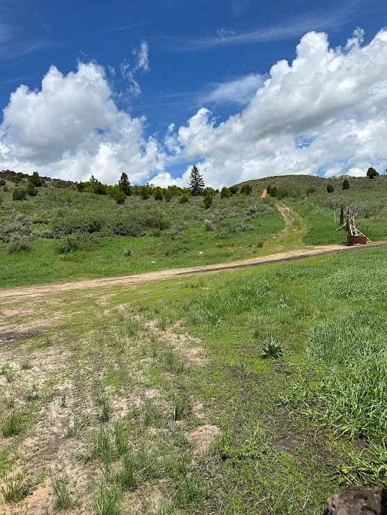
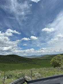
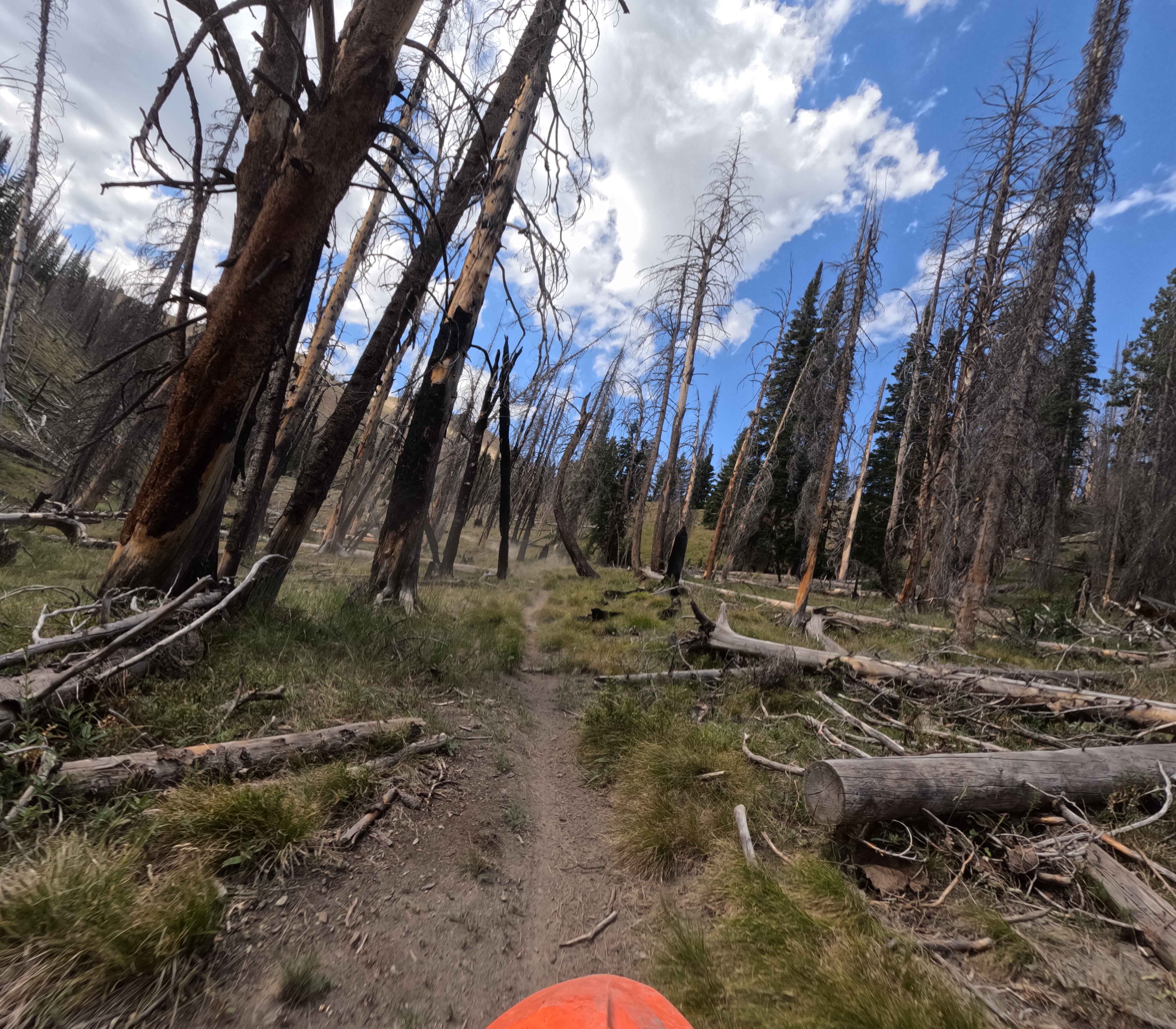
Trail Overview
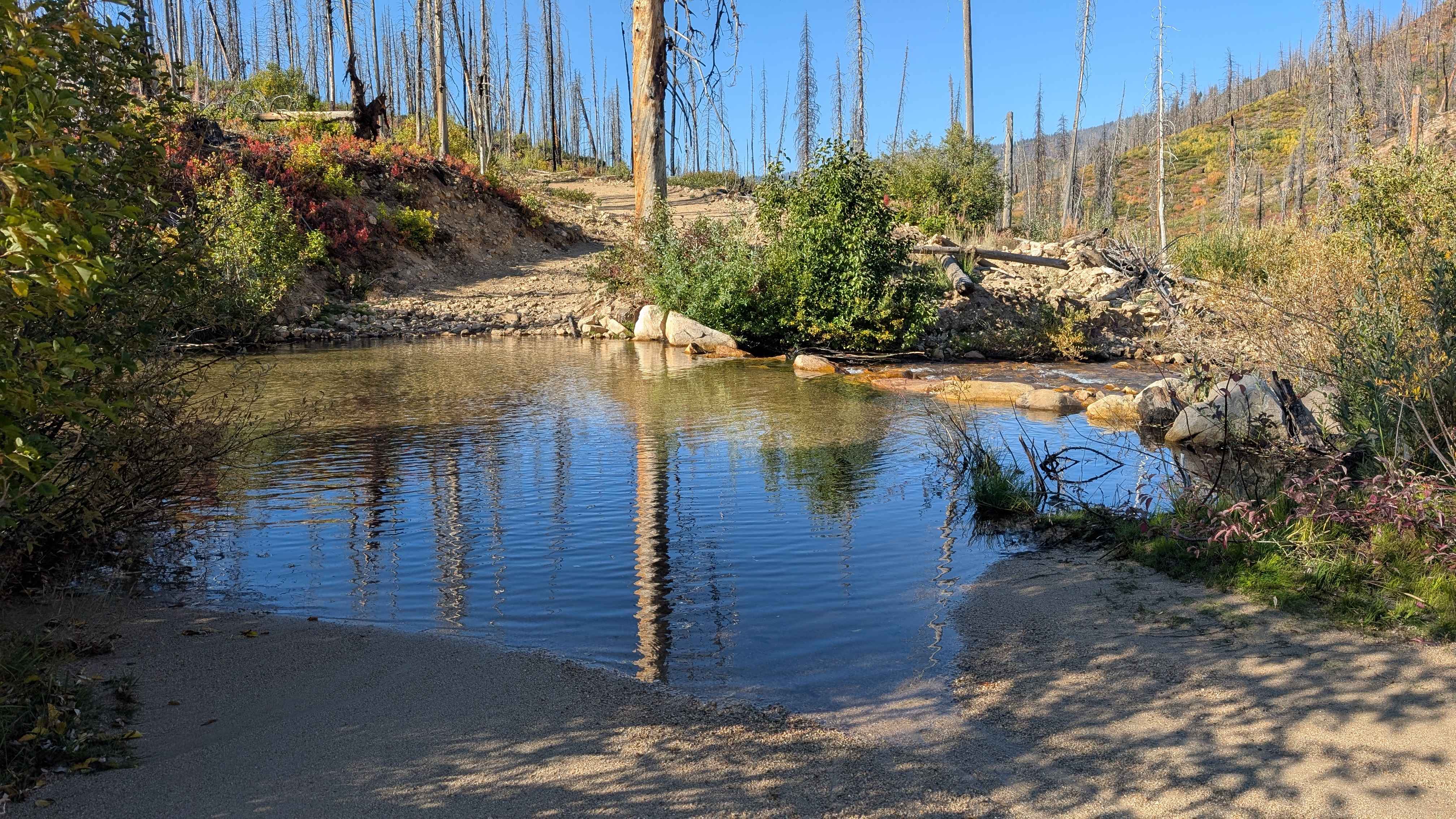
This trail is commonly known to locals as Razorback Ridge, due to the lone ridge with a knife's edge summit you will drive below. It runs through uneven, rocky BLM ground in high desert sagebrush. Often frequented by many different types of wild game, this is a favorite of hunters and offroaders alike. High clearance is required due to the rocky uneven nature of the trail.
Photos of Razorback Ridge
Difficulty
This trail is on par for the area. It's passable in any high clearance 4x4 or SxS, although it is a rough slow slow-going trail for the majority of the trail. Loose rocks and deep ruts caused by heavy runoff are common, although they generally do not require a spotter. ATVs and dirt bikes will have no problem even for novice riders, although some caution should be taken.
History
This trail is traditionally used by ranchers and hunters.
Status Reports
Razorback Ridge can be accessed by the following ride types:
- High-Clearance 4x4
- SUV
- SxS (60")
- ATV (50")
- Dirt Bike
Razorback Ridge Map
Popular Trails
Rooks Creek - FS 7145

Stein Mountain
Burgdorf to French Creek
Long Creek - FS 545
The onX Offroad Difference
onX Offroad combines trail photos, descriptions, difficulty ratings, width restrictions, seasonality, and more in a user-friendly interface. Available on all devices, with offline access and full compatibility with CarPlay and Android Auto. Discover what you’re missing today!