Burgdorf to French Creek
Total Miles
27.0
Technical Rating
Best Time
Spring, Summer, Fall
Trail Type
Full-Width Road
Accessible By
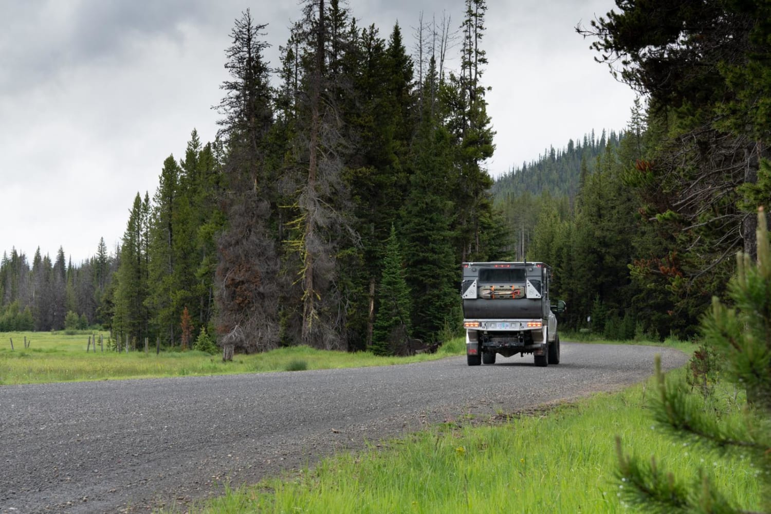
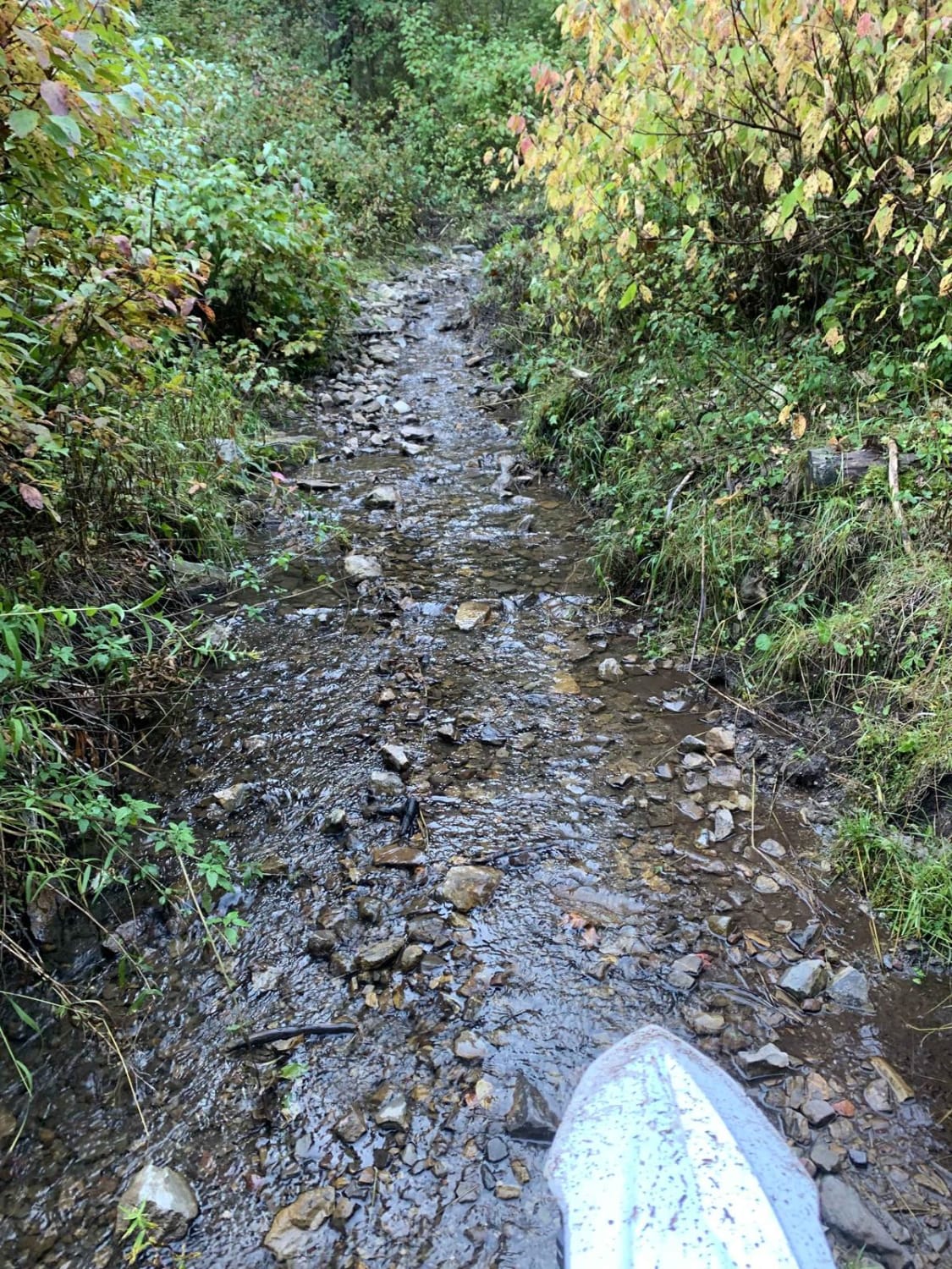
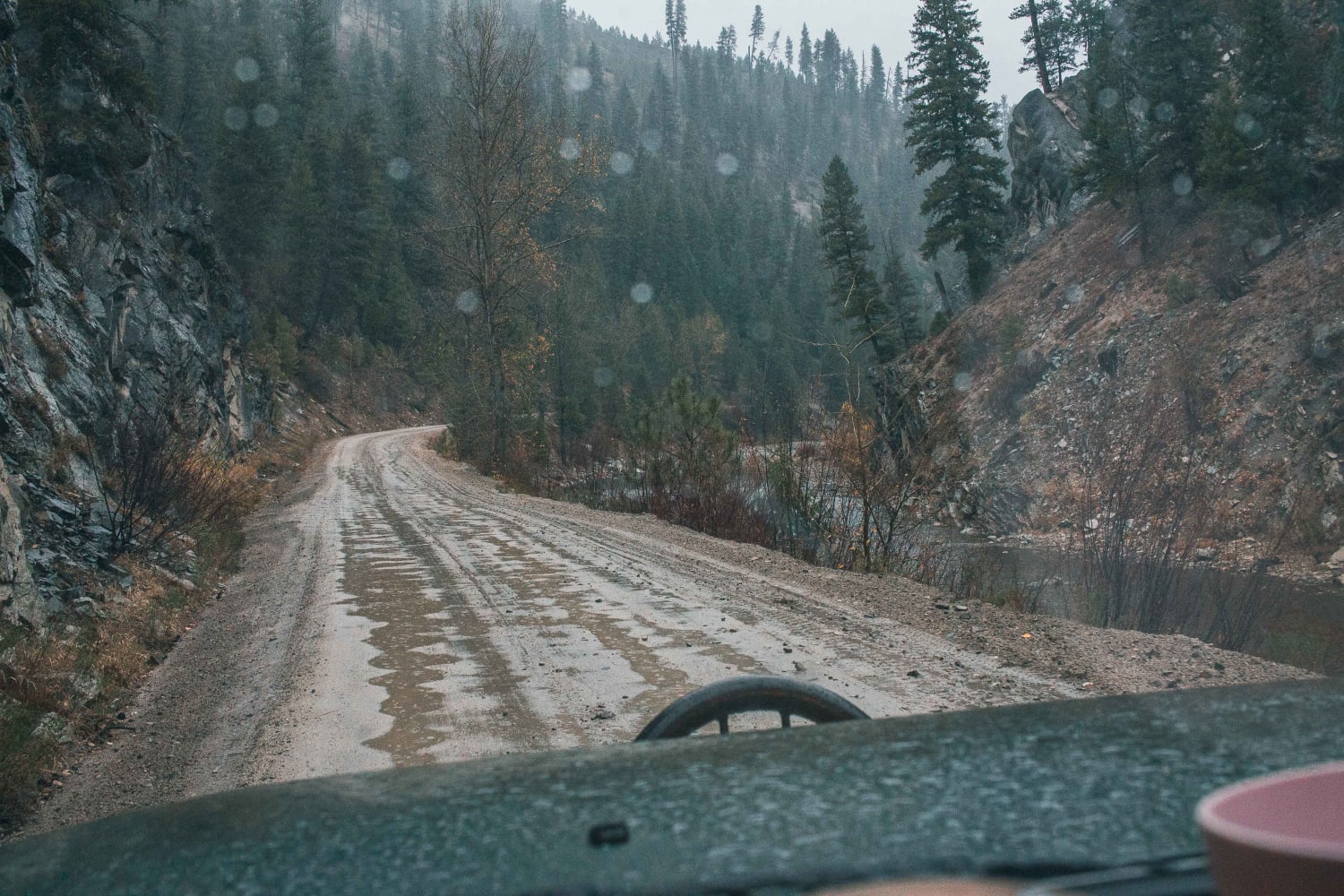
Trail Overview
Traveling from east to west, this route begins with a flat, wide forest service road that slowly climbs through lush meadows, easily accessible camping and evergreen forest. The route eventually narrows to a single track that winds its way to higher elevations and incredible views. Heading back down, the trail transitions to switchbacks that guide you to a creek that eventually empties into the Salmon River. If you're lucky, there may be an open beachfront campsite waiting for you at the road that leads you out of the backcountry. There is currently no cell service, so please be sure to download maps to your mobile device. The road is pretty well maintained, and obstacles are small to non-existent, but you may encounter some downed trees and a bit of snow if you arrive to early in the season.
Photos of Burgdorf to French Creek
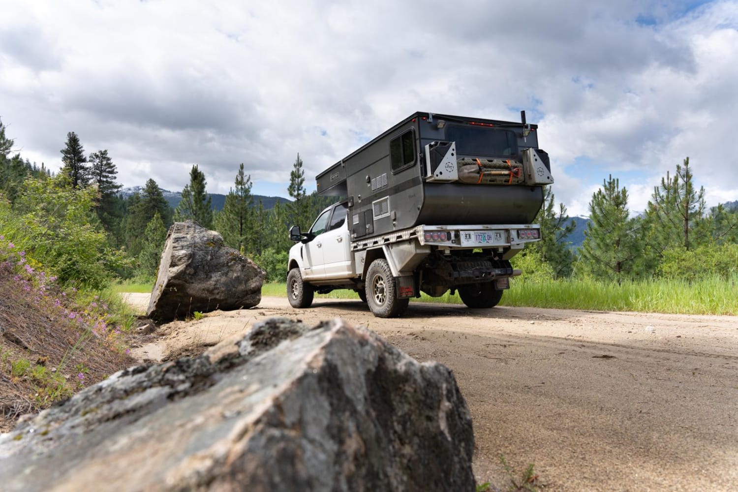
Difficulty
Easy trail with portions of single-track switchbacks.
Status Reports
Burgdorf to French Creek can be accessed by the following ride types:
- High-Clearance 4x4
- SUV
- SxS (60")
- ATV (50")
- Dirt Bike
Burgdorf to French Creek Map
Popular Trails

Iron Mountain- FS 7050

Cape Horn Mountain
Fall Creek Indian Creek
Rabbit Creek Road
The onX Offroad Difference
onX Offroad combines trail photos, descriptions, difficulty ratings, width restrictions, seasonality, and more in a user-friendly interface. Available on all devices, with offline access and full compatibility with CarPlay and Android Auto. Discover what you’re missing today!