Off-Road Trails in California
Discover off-road trails in California
Learn more about Sierra Sidewinder Trail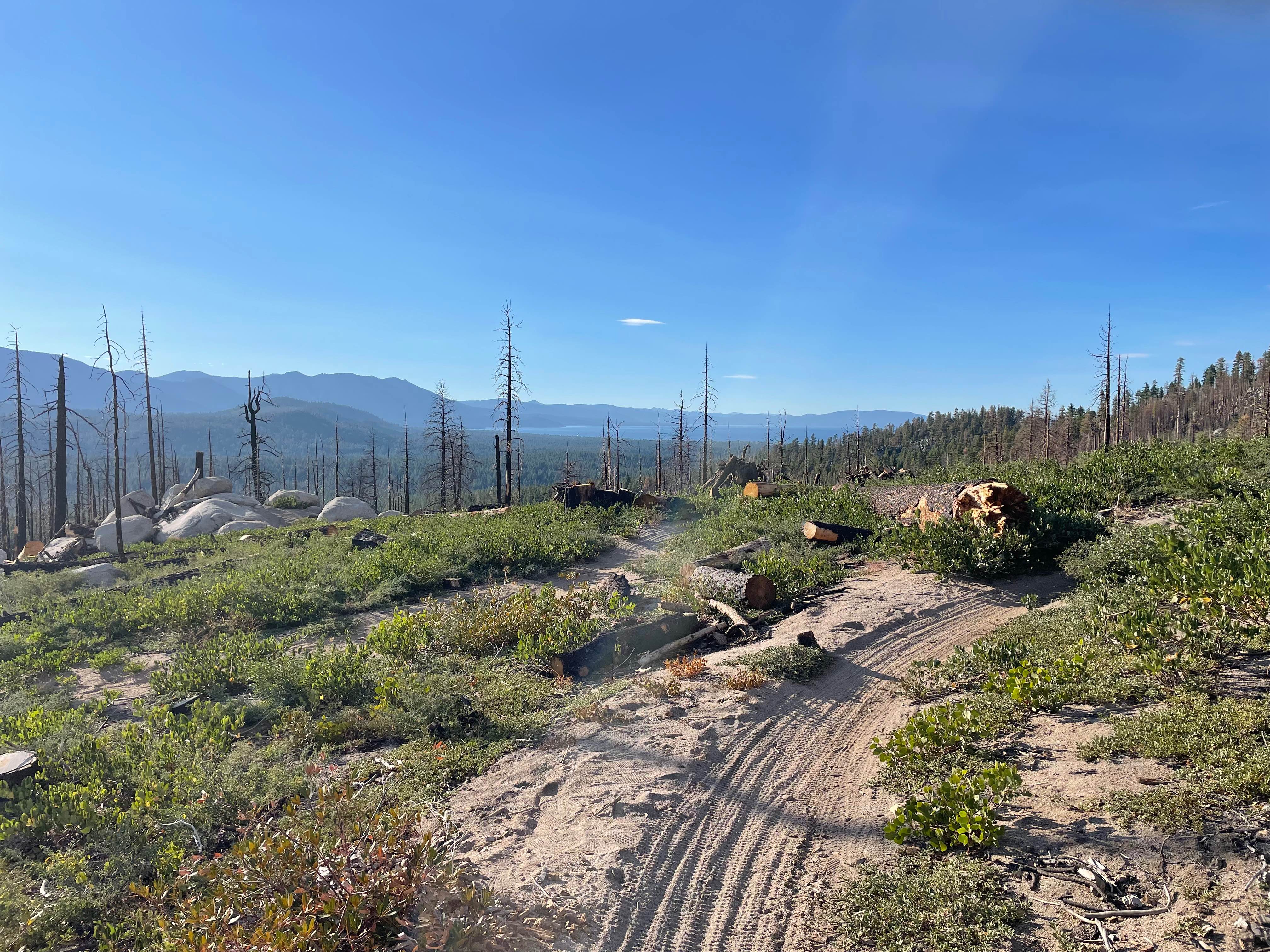
Sierra Sidewinder Trail
Total Miles
1.2
Tech Rating
Moderate
Best Time
Spring, Summer, Fall
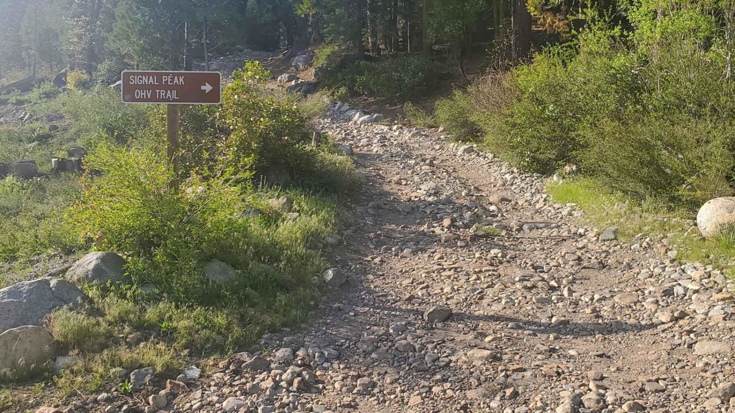
Learn more about Signal Peak - FS 4S031A
Signal Peak - FS 4S031A
Total Miles
1.2
Tech Rating
Easy
Best Time
Summer, Fall, Spring
Learn more about Silver Canyon Road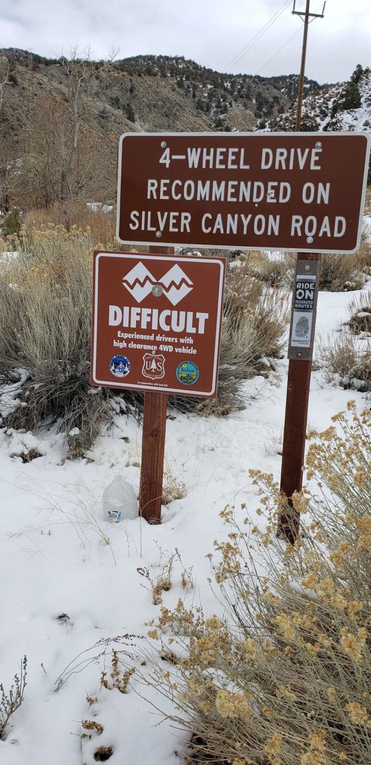
Silver Canyon Road
Total Miles
11.4
Tech Rating
Easy
Best Time
Summer, Fall
Learn more about Silver Knob - FS 6S063
Silver Knob - FS 6S063
Total Miles
2.2
Tech Rating
Moderate
Best Time
Spring, Summer, Fall
Learn more about Sivils Mountain - FS 6S011C
Sivils Mountain - FS 6S011C
Total Miles
1.2
Tech Rating
Easy
Best Time
Summer, Fall
Learn more about Sivils Ranch - FS 6S011
Sivils Ranch - FS 6S011
Total Miles
5.5
Tech Rating
Easy
Best Time
Summer, Fall
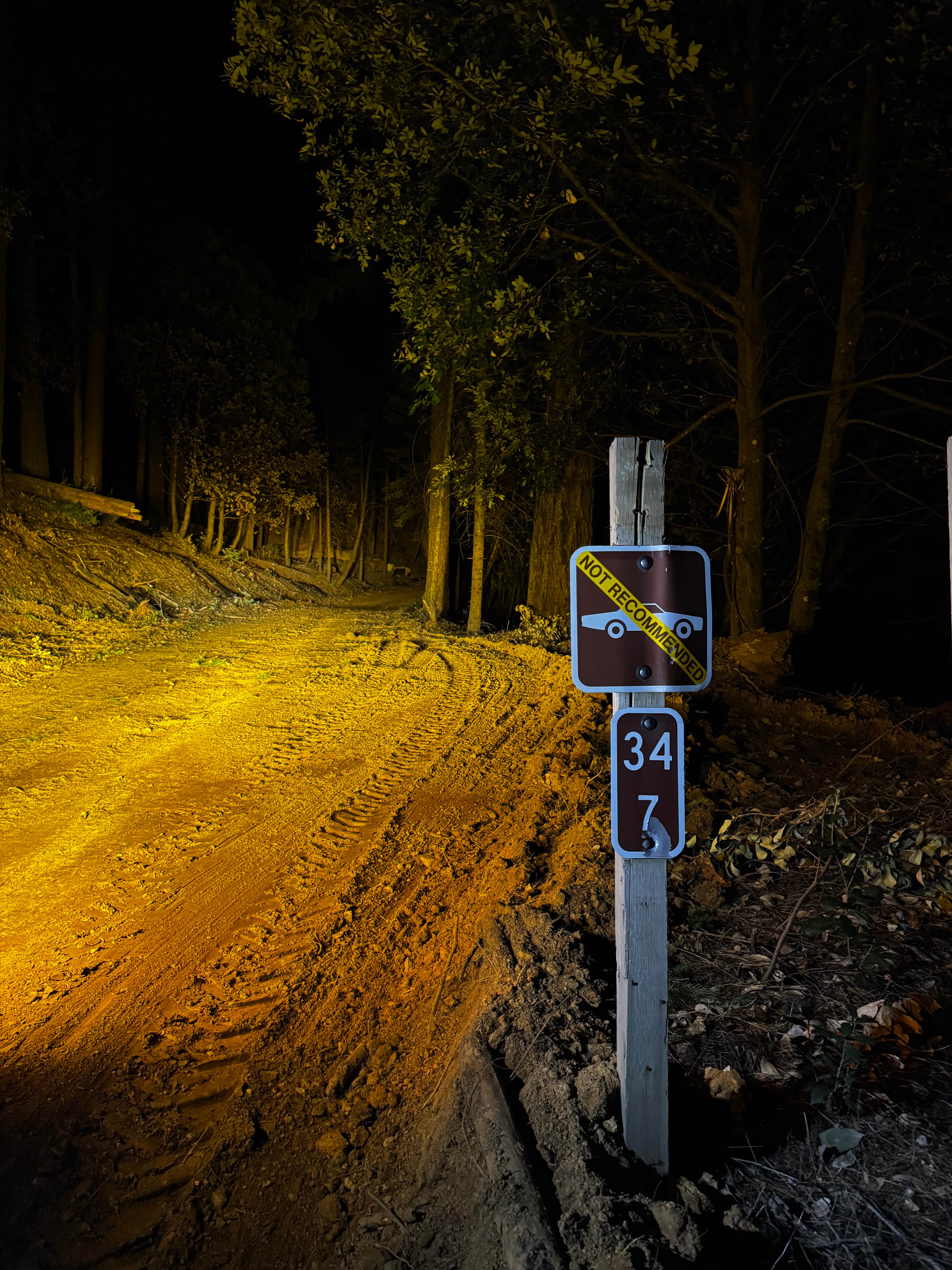
Learn more about Sledgehammer
Sledgehammer
Total Miles
0.5
Tech Rating
Extreme
Best Time
Spring, Summer, Fall, Winter
Learn more about Sly Creek Trail
Sly Creek Trail
Total Miles
16.1
Tech Rating
Easy
Best Time
Spring, Summer, Fall, Winter
Learn more about Smart Spring - 3N07Y
Smart Spring - 3N07Y
Total Miles
1.1
Tech Rating
Easy
Best Time
Spring, Summer, Fall
Learn more about Smarts Ranch 3N03
Smarts Ranch 3N03
Total Miles
7.4
Tech Rating
Easy
Best Time
Spring, Summer, Fall, Winter
Learn more about Smith Peak Lookout - FS 1S16
Smith Peak Lookout - FS 1S16
Total Miles
2.4
Tech Rating
Easy
Best Time
Summer, Fall
Learn more about Smith Ridge - FS 1S28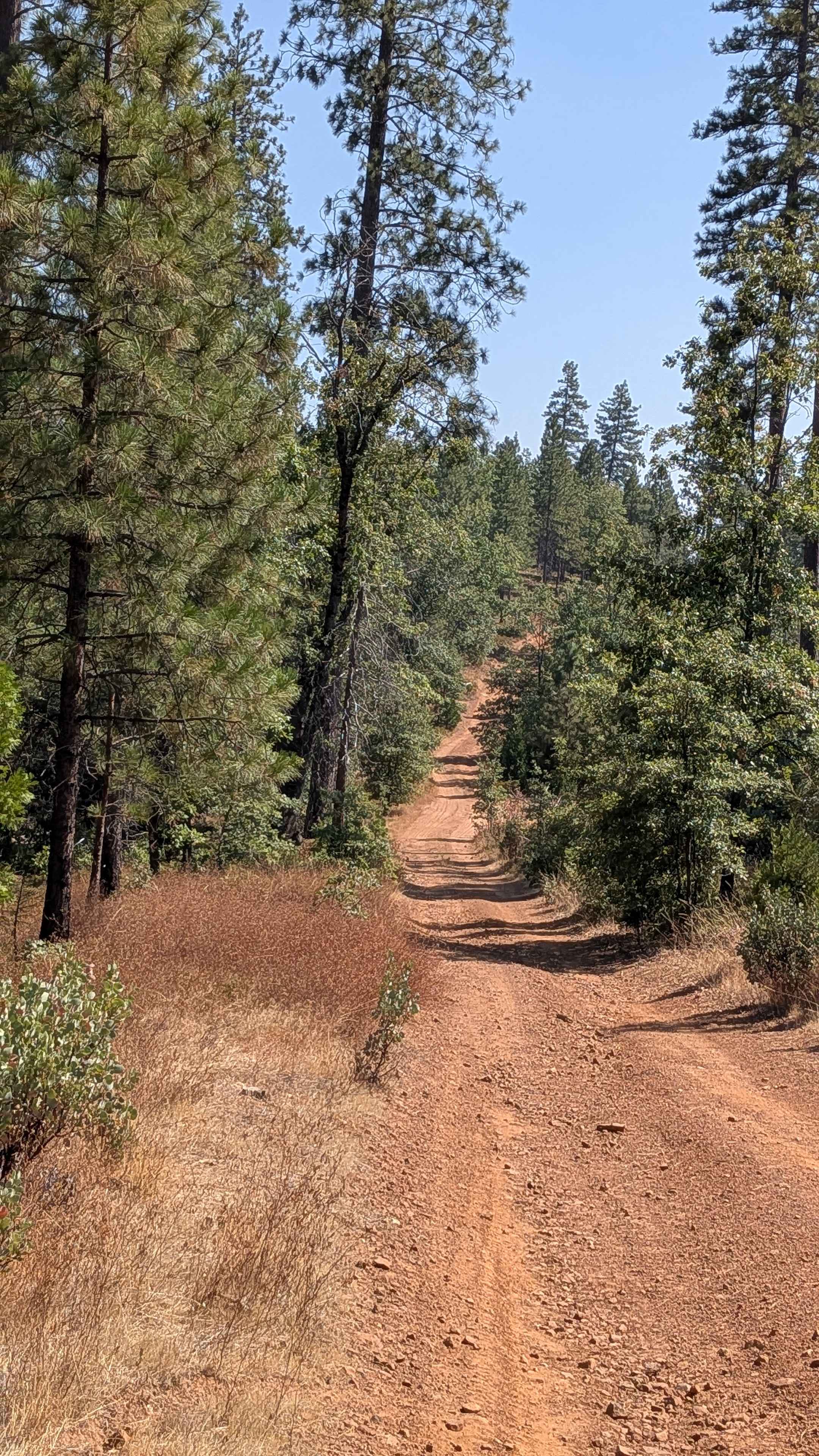
Smith Ridge - FS 1S28
Total Miles
2.7
Tech Rating
Easy
Best Time
Fall, Summer, Spring
Learn more about Smokey Bear Flat - FS3S04
Smokey Bear Flat - FS3S04
Total Miles
2.7
Tech Rating
Easy
Best Time
Fall, Summer, Spring
Learn more about Snow Drift - FS 8s098
Snow Drift - FS 8s098
Total Miles
2.4
Tech Rating
Easy
Best Time
Summer, Fall
ATV trails in California


UTV/side-by-side trails in California


Learn more about 3N267 Fenner Saddle (4N12)
3N267 Fenner Saddle (4N12)
Total Miles
3.8
Tech Rating
Difficult
Best Time
Spring, Summer, Fall, Winter

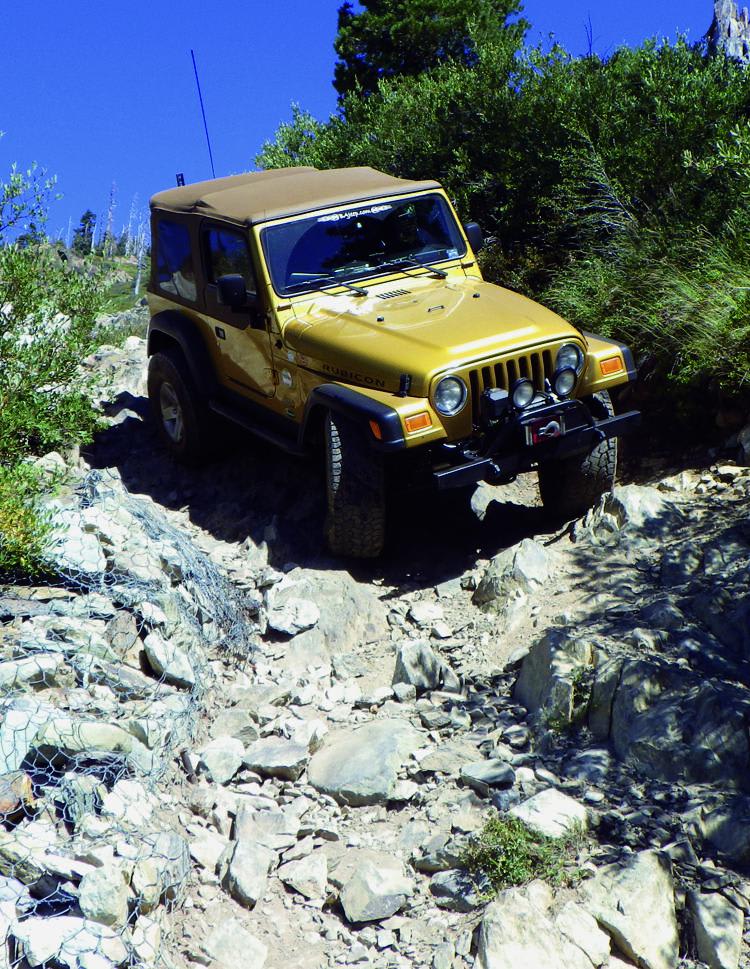
The onX Offroad Difference
onX Offroad combines trail photos, descriptions, difficulty ratings, width restrictions, seasonality, and more in a user-friendly interface. Available on all devices, with offline access and full compatibility with CarPlay and Android Auto. Discover what you’re missing today!