Smith Ridge - FS 1S28
Total Miles
2.7
Technical Rating
Best Time
Fall, Summer, Spring
Trail Type
Full-Width Road
Accessible By
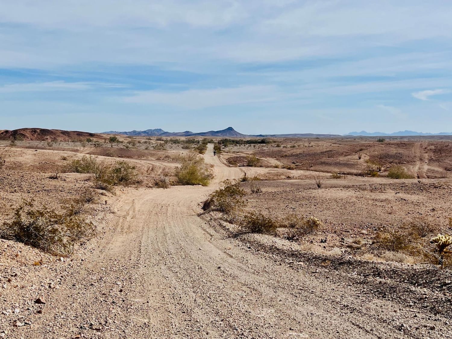
Trail Overview
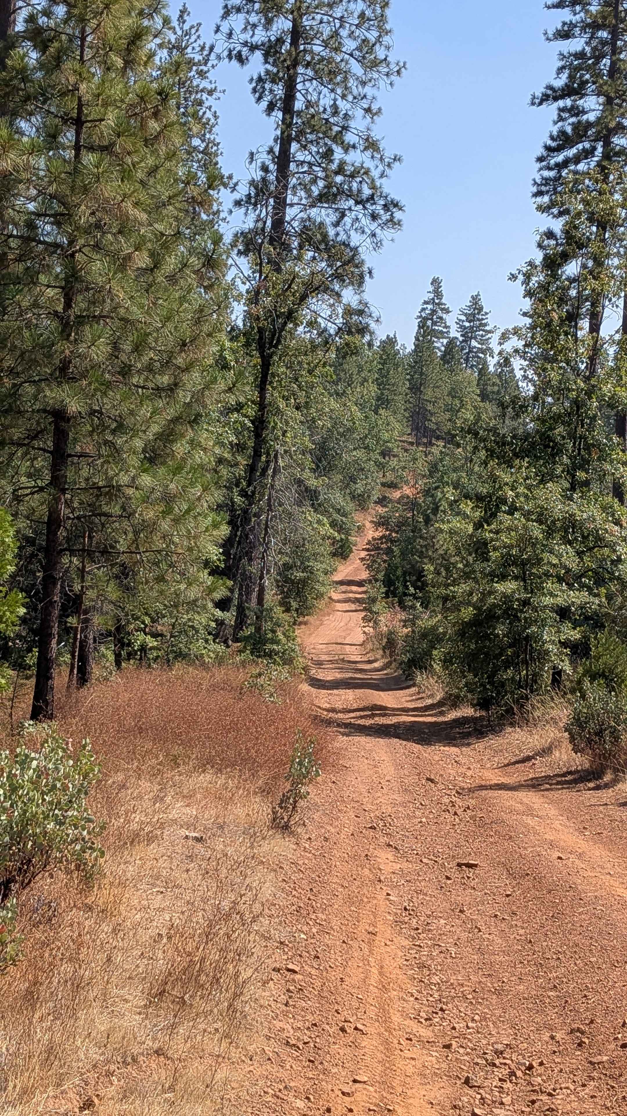
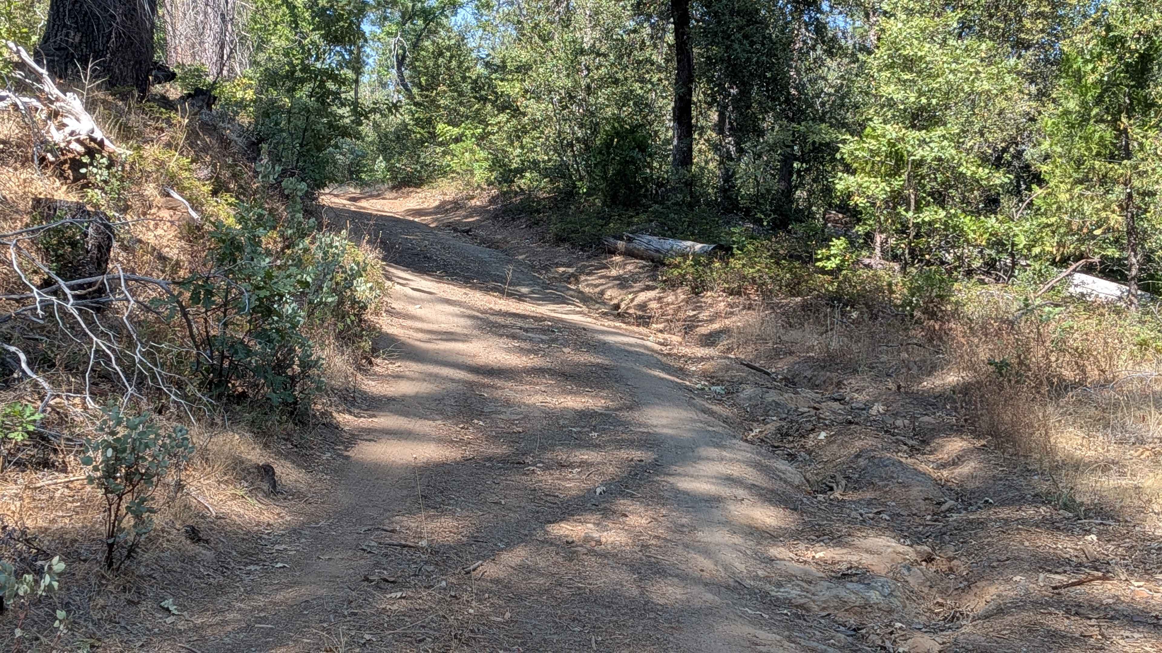
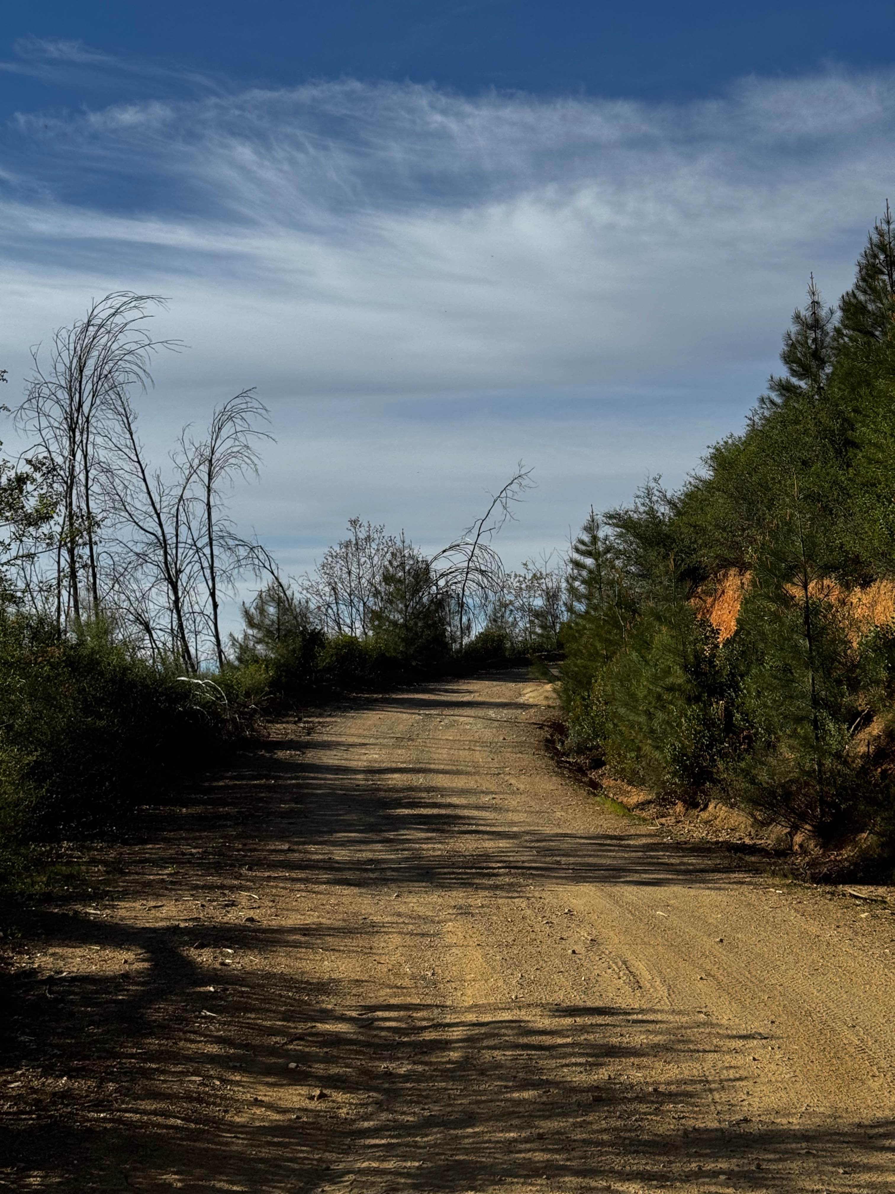
This trail climbs over 400 feet and drops almost 400 feet across almost 3 miles of forested terrain, starting near the junction of Forest Service Roads 2S28 and 1S15 and ending at FS1S29. The sandy surface creates very dusty conditions throughout the journey, with numerous trees surrounding the trail that provide natural shade and forest ambiance. Ruts appear immediately in the first hill climb from the beginning, setting the technical tone for the route ahead. The trail winds back and forth through dense forest, offering occasional glimpses of the surrounding forests and valleys that reward drivers with scenic breaks during the technical driving. Several spots along the route provide opportunities for dispersed camping, making this suitable for overnight adventures, while various spur trails branch off from the main route for those interested in additional exploration. Overgrown tree branches and bushes line the trail and will likely add Sierra pinstripes to vehicles, requiring acceptance of cosmetic contact with vegetation. At 1.8 miles in, the trail is mismarked as 2S51, which may cause navigation confusion for those relying on trail markers. This section also features deep ruts reaching up to 18 inches in depth, creating significant clearance challenges. A few low-hanging branches will contact the tops of most vehicles, potentially causing damage to roof equipment or antennas.
Photos of Smith Ridge - FS 1S28
Difficulty
This trail receives a difficulty rating of 3, indicating easy to moderate conditions, though four-wheel drive and high clearance vehicles are highly recommended. The combination of sandy surfaces creating dusty conditions, ruts including some up to 18 inches deep, overgrown vegetation causing pinstriping, and low-hanging branches requiring overhead clearance awareness makes this technically demanding despite the easy rating. The immediate ruts on the first hill climb and the deep ruts in the mismarked section add to the technical challenges.
Status Reports
Smith Ridge - FS 1S28 can be accessed by the following ride types:
- High-Clearance 4x4
- SUV
- SxS (60")
- ATV (50")
- Dirt Bike
Smith Ridge - FS 1S28 Map
Popular Trails
Pinecrest Lookout
Bear Creek Road M10
Lower Blythe Olgilby

Upper South Fork Tamarack Creek - FS 9s023
The onX Offroad Difference
onX Offroad combines trail photos, descriptions, difficulty ratings, width restrictions, seasonality, and more in a user-friendly interface. Available on all devices, with offline access and full compatibility with CarPlay and Android Auto. Discover what you’re missing today!