Upper South Fork Tamarack Creek - FS 9s023
Total Miles
2.3
Technical Rating
Best Time
Summer, Fall
Trail Type
Full-Width Road
Accessible By
Trail Overview
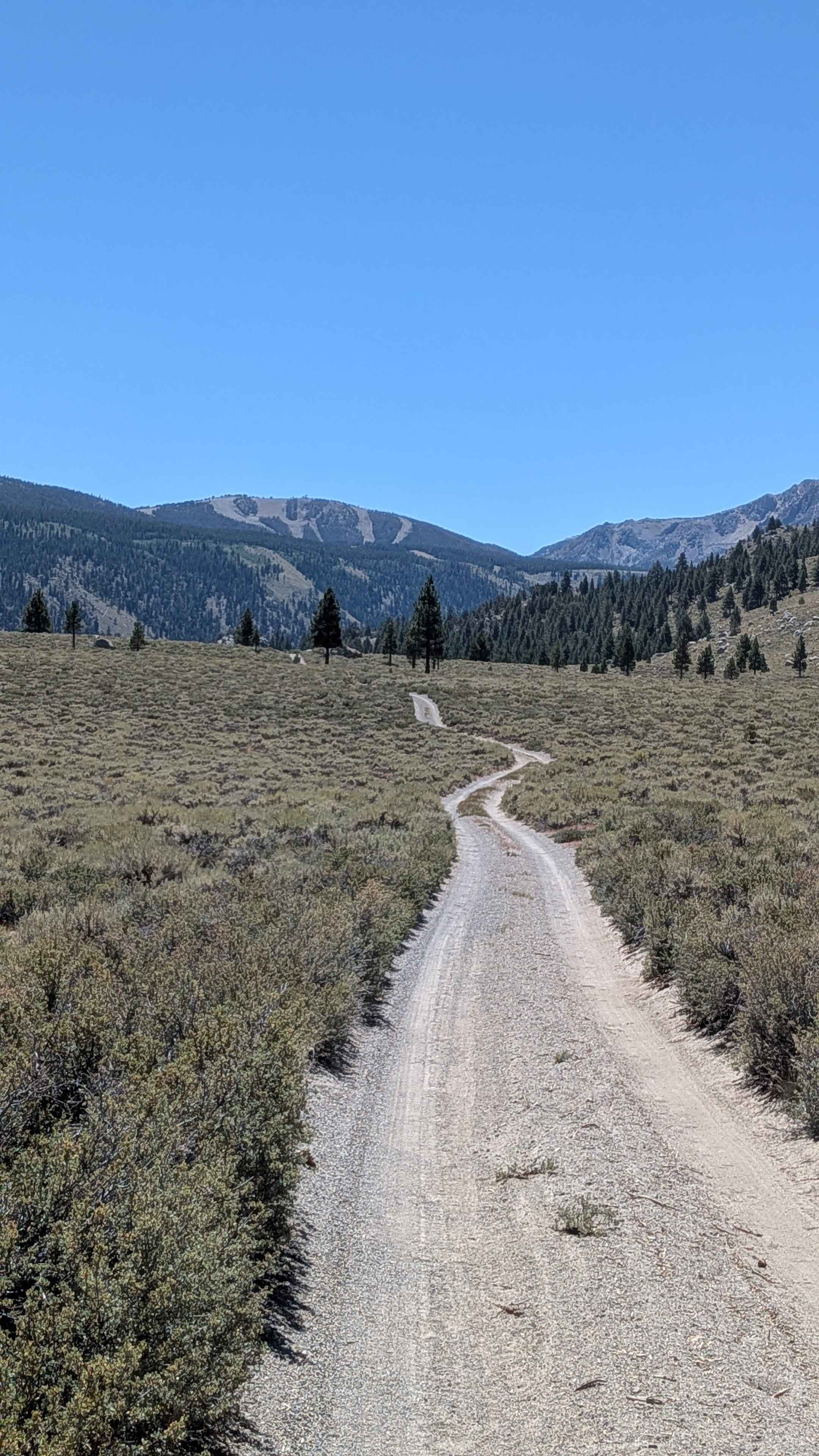
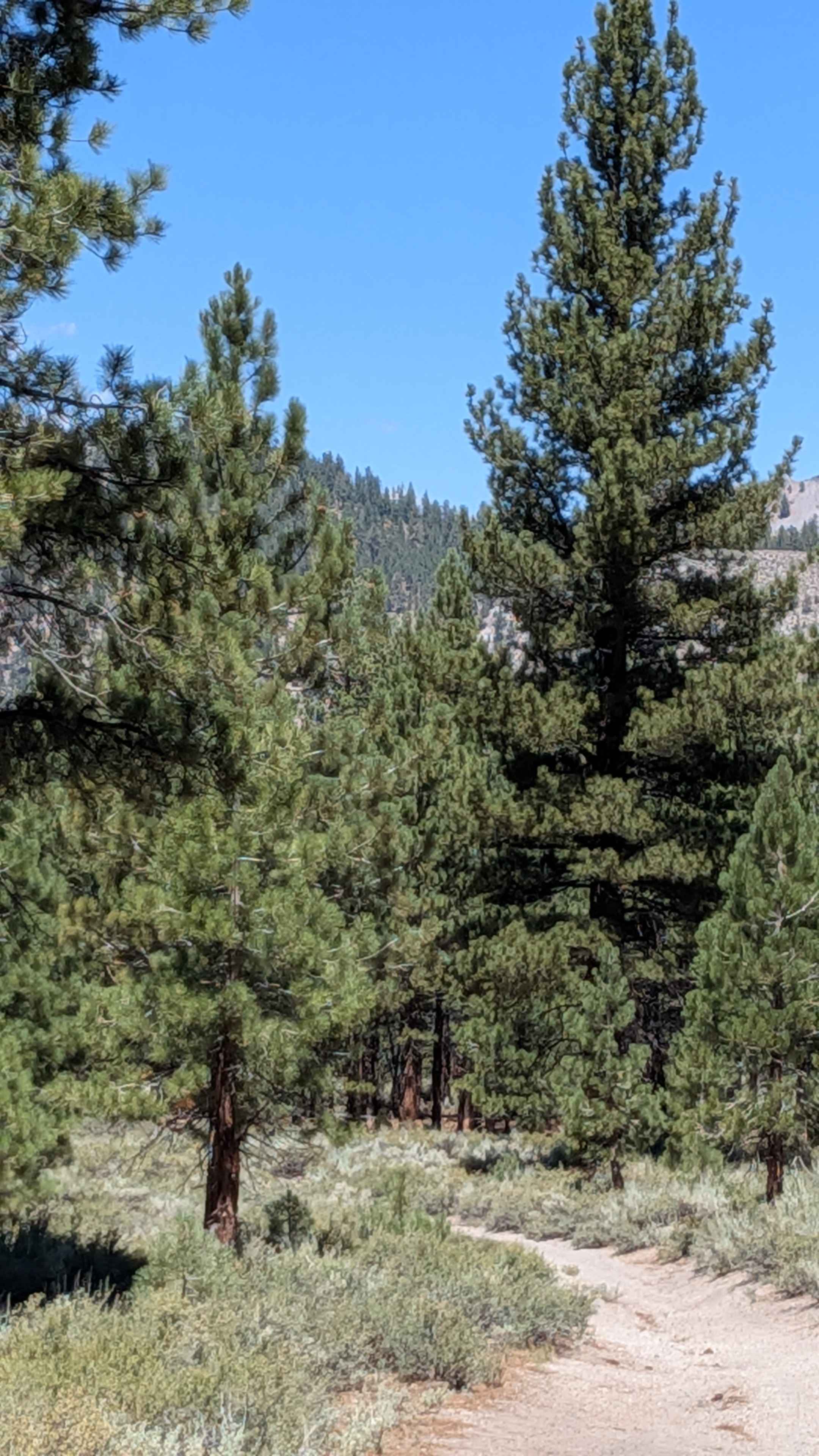
This is a challenging, 2.2-mile drive defined by extreme surface conditions and environmental hazards. The route begins briefly in a healthy, shaded stand of trees before immediately entering a vast, exposed burn scar from the 2020 Creek Wildfire. The roadbed here is composed of deep, loose duff (decomposed organic matter and fine ash,) which compromises traction. The deliberate 30-minute drive time reflects the constant need to manage wheel spin and slide. The lack of canopy grants spectacular, if stark, views over the high country ghost forest full of standing silver and black snags, making this a unique exploration into the raw aftermath of the fire.
Photos of Upper South Fork Tamarack Creek - FS 9s023


Difficulty
This trail earns its R2 rating due to the mix of stable road bed and pervasive deep, loose duff and soft earth, which challenges the vehicle's traction. High clearance becomes beneficial, and high clearance and 4x4 becomes mandatory in wet weather.
Status Reports
Upper South Fork Tamarack Creek - FS 9s023 can be accessed by the following ride types:
- High-Clearance 4x4
- SUV
Upper South Fork Tamarack Creek - FS 9s023 Map
Popular Trails
June Lake Shortcut - FS 1S32

Forest Service Road 2S129
The onX Offroad Difference
onX Offroad combines trail photos, descriptions, difficulty ratings, width restrictions, seasonality, and more in a user-friendly interface. Available on all devices, with offline access and full compatibility with CarPlay and Android Auto. Discover what you’re missing today!