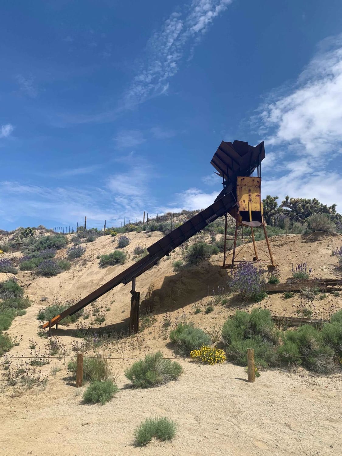
Off-Road Trails in California
Discover off-road trails in California
Learn more about Sawmill Trail 7S05
Sawmill Trail 7S05
Total Miles
6.2
Tech Rating
Moderate
Best Time
Spring, Fall
Learn more about Sawpit Connector
Sawpit Connector
Total Miles
0.5
Tech Rating
Easy
Best Time
Spring, Summer, Fall, Winter
Learn more about SC176 Gold Canyon Road
SC176 Gold Canyon Road
Total Miles
6.2
Tech Rating
Easy
Best Time
Spring, Fall, Winter
Learn more about SC251 Jawbone Road to Gold Canyon Road
SC251 Jawbone Road to Gold Canyon Road
Total Miles
3.7
Tech Rating
Moderate
Best Time
Spring, Fall, Winter
Learn more about Screwauger Shelf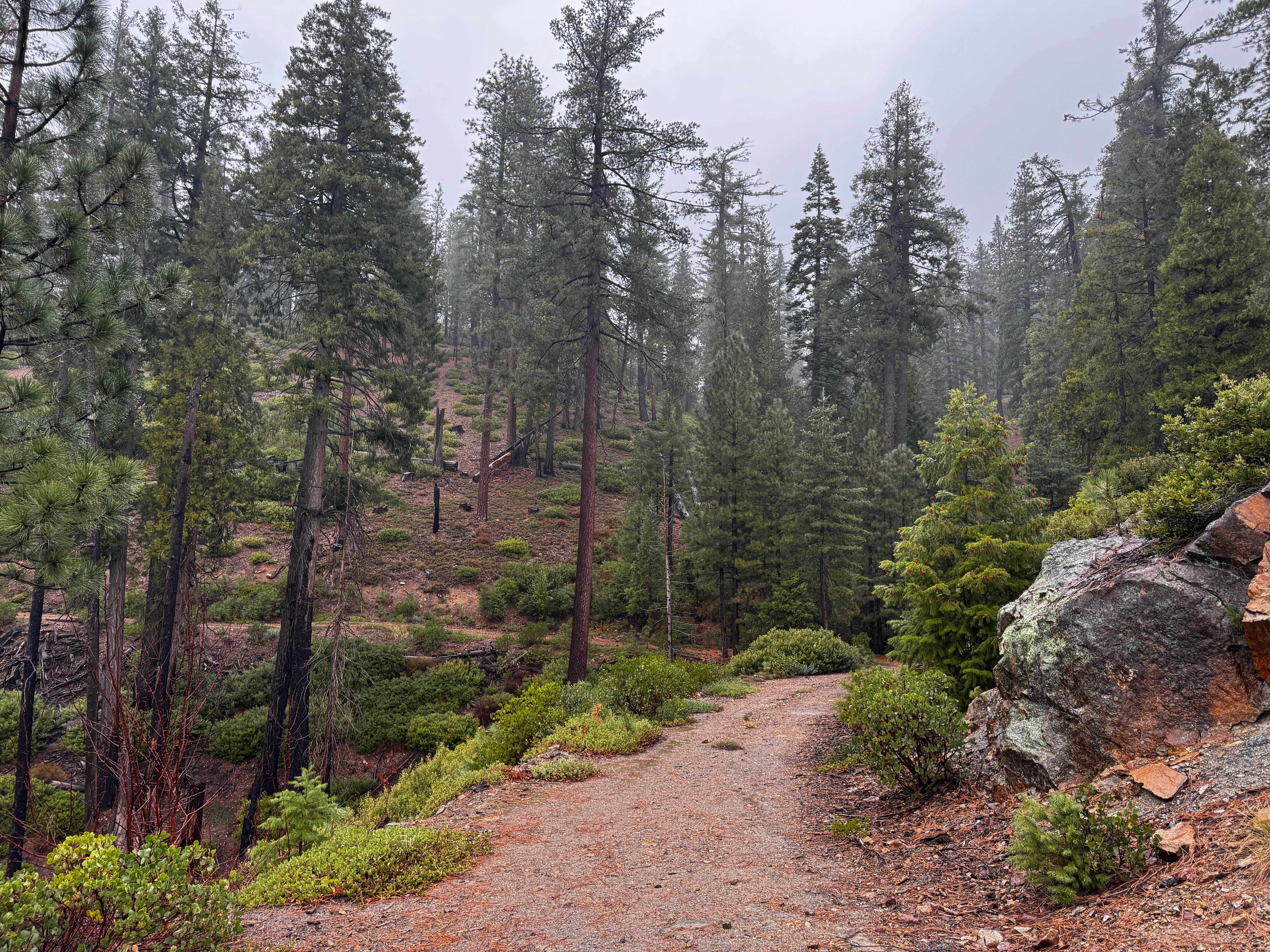
Screwauger Shelf
Total Miles
0.5
Tech Rating
Easy
Best Time
Spring, Fall, Summer
Learn more about Screwauger Split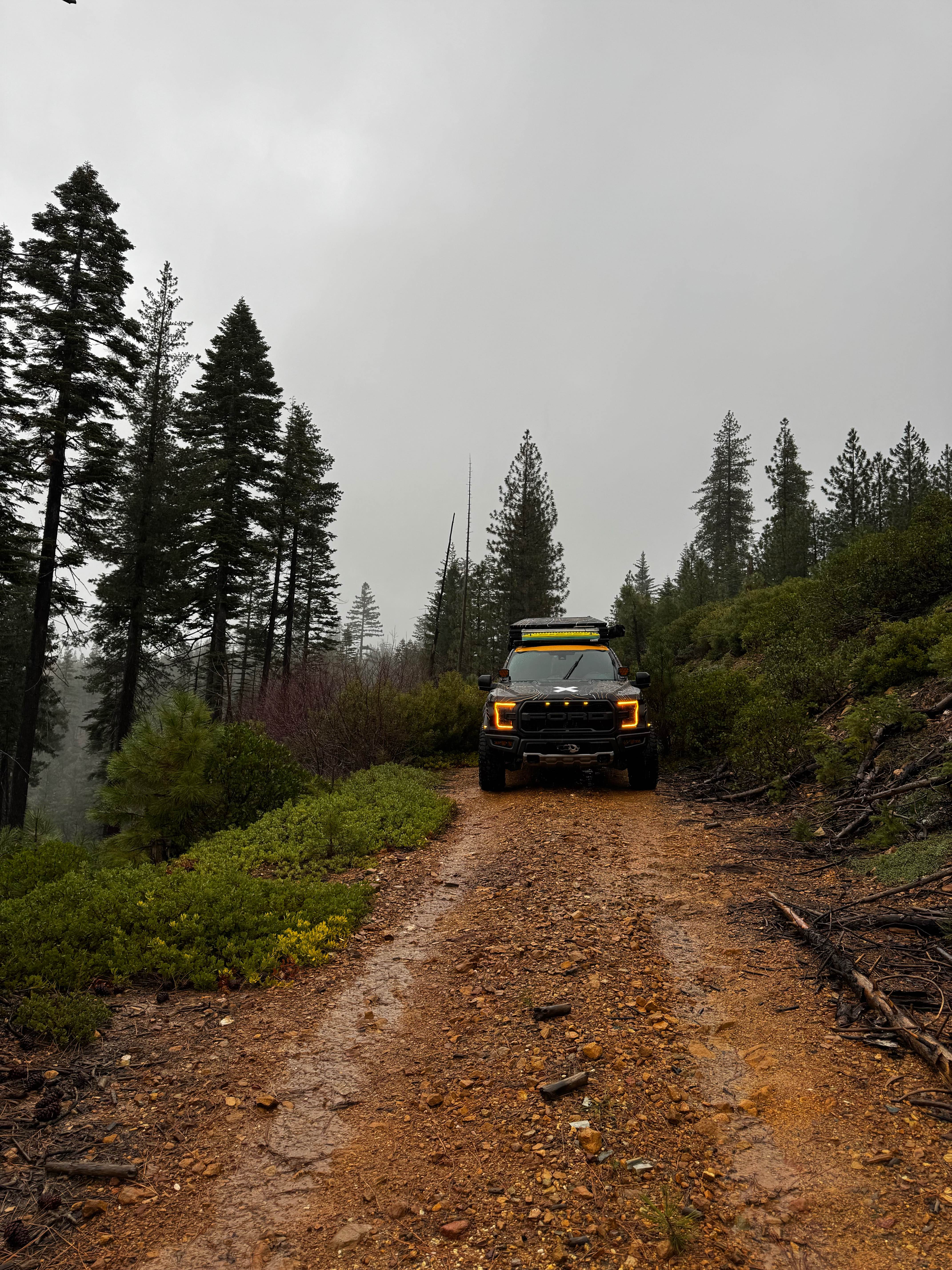
Screwauger Split
Total Miles
1.0
Tech Rating
Easy
Best Time
Spring, Summer, Fall
Learn more about Screwauger Spur Short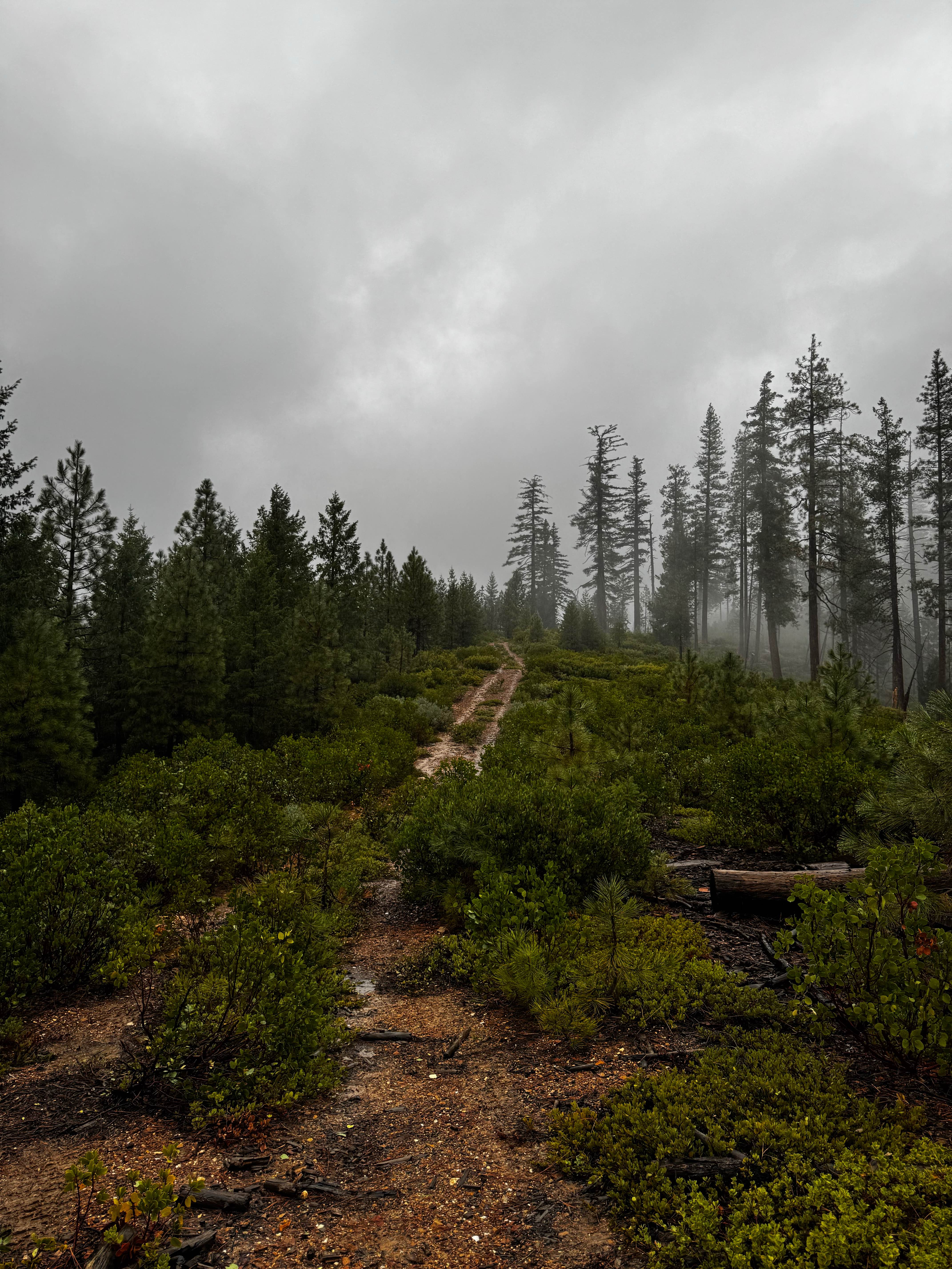
Screwauger Spur Short
Total Miles
0.5
Tech Rating
Easy
Best Time
Spring, Summer, Fall
Learn more about Screwauger Trail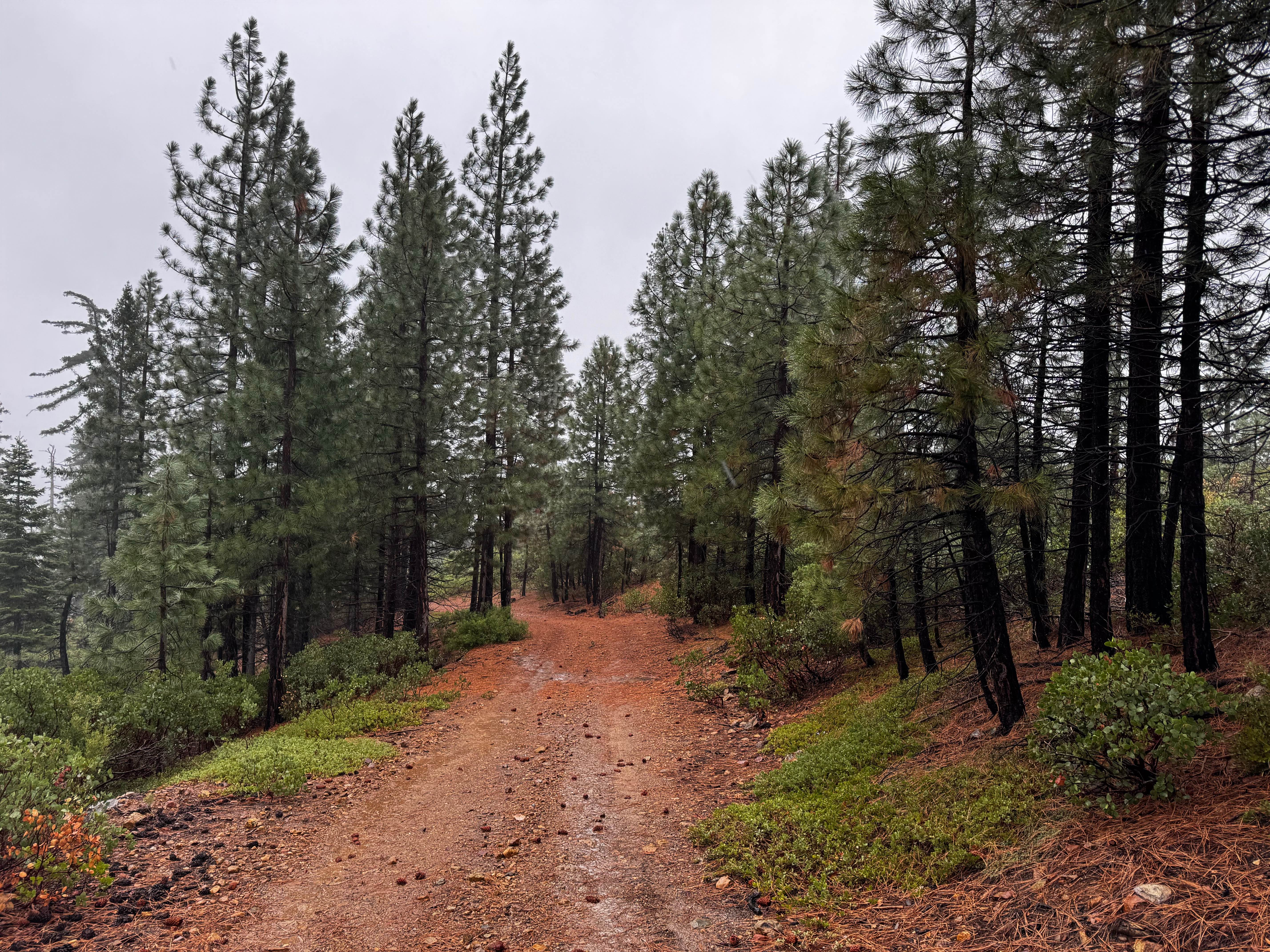
Screwauger Trail
Total Miles
6.1
Tech Rating
Easy
Best Time
Spring, Summer, Fall
Learn more about Searles Valley Mineral Operations to 178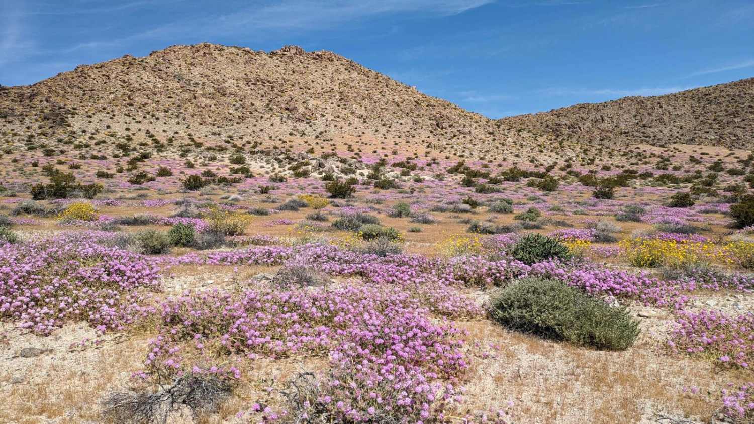
Searles Valley Mineral Operations to 178
Total Miles
5.5
Tech Rating
Moderate
Best Time
Spring, Fall, Winter
Learn more about Second Divide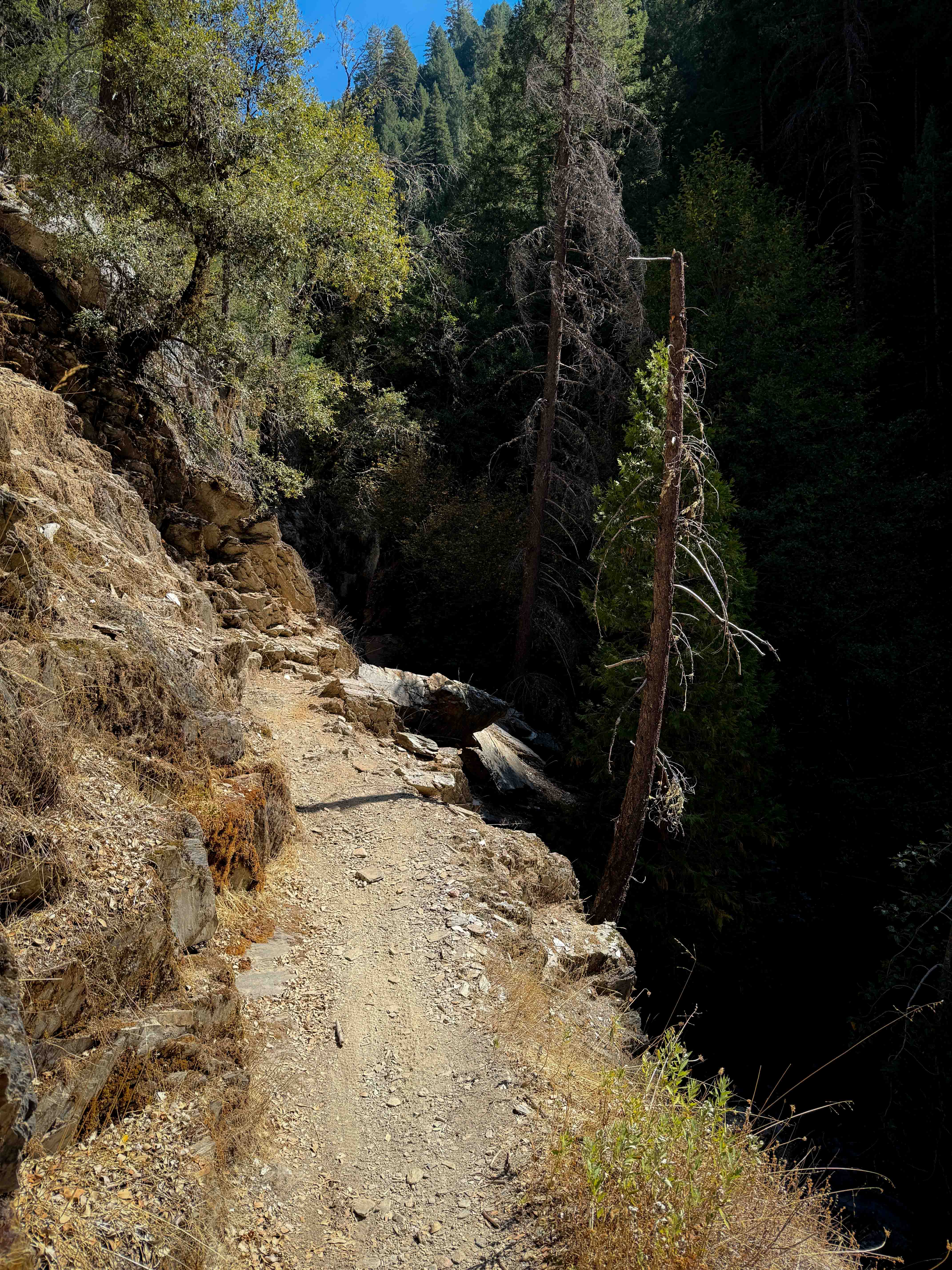
Second Divide
Total Miles
4.5
Tech Rating
Moderate
Best Time
Spring, Fall, Summer
Learn more about Secret Ridge Route
Secret Ridge Route
Total Miles
2.6
Tech Rating
Easy
Best Time
Spring, Summer, Fall
Learn more about Section 36 - FS 6S026
Section 36 - FS 6S026
Total Miles
2.5
Tech Rating
Easy
Best Time
Summer, Fall
Learn more about Senator Wash/Cistern Road
Senator Wash/Cistern Road
Total Miles
3.7
Tech Rating
Moderate
Best Time
Spring, Fall
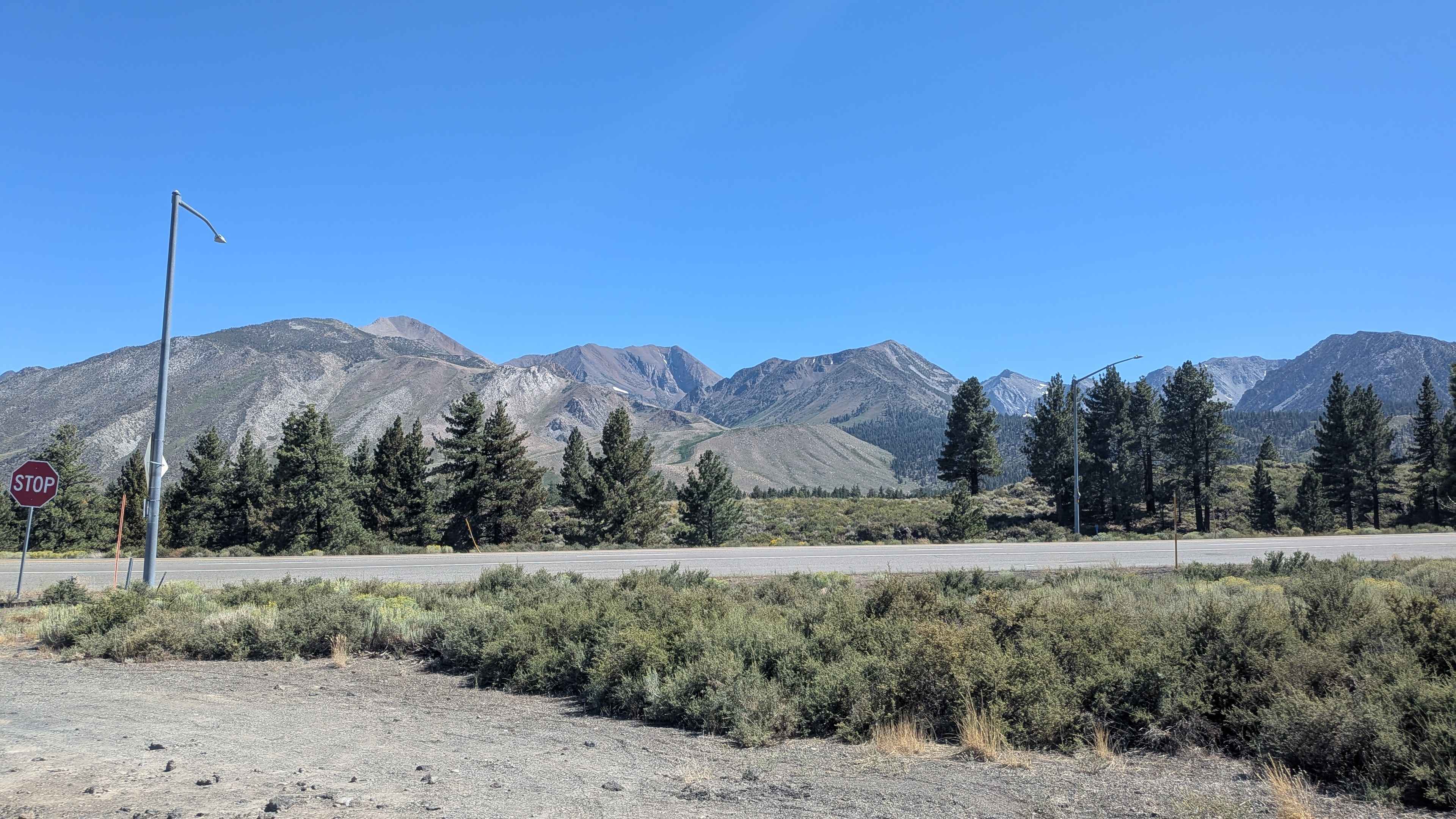
Learn more about Shady Rest Park Overlook
Shady Rest Park Overlook
Total Miles
1.0
Tech Rating
Easy
Best Time
Fall, Summer, Spring
Learn more about Sharks - FS 5S057
Sharks - FS 5S057
Total Miles
1.1
Tech Rating
Easy
Best Time
Summer, Fall
Learn more about Sharpless Ranch
Sharpless Ranch
Total Miles
2.3
Tech Rating
Easy
Best Time
Spring, Summer, Fall
Learn more about Sheep Camp Road - FS4S03
Sheep Camp Road - FS4S03
Total Miles
8.1
Tech Rating
Easy
Best Time
Summer, Spring, Fall
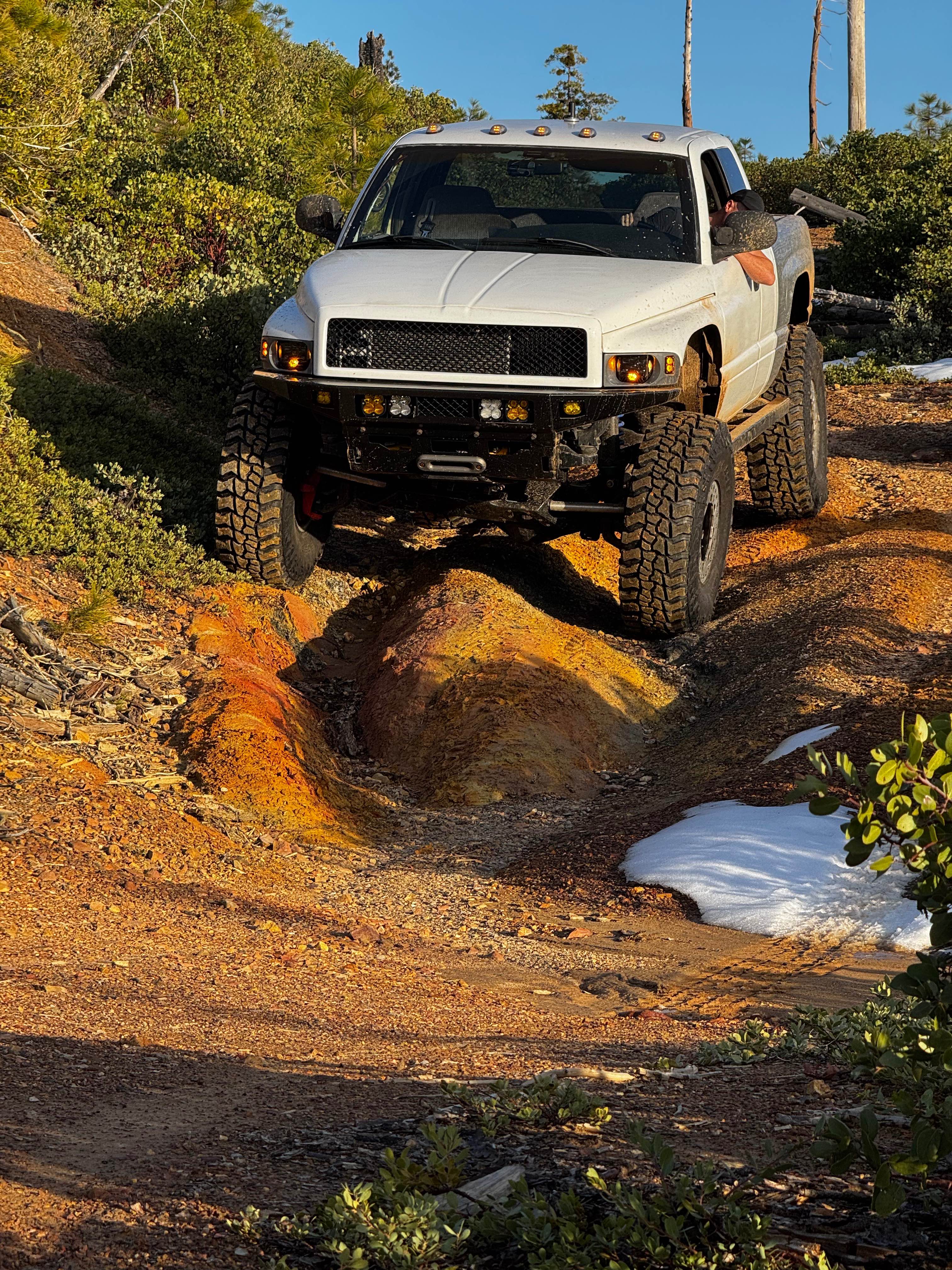
ATV trails in California


UTV/side-by-side trails in California


Learn more about 3N267 Fenner Saddle (4N12)
3N267 Fenner Saddle (4N12)
Total Miles
3.8
Tech Rating
Difficult
Best Time
Spring, Summer, Fall, Winter

The onX Offroad Difference
onX Offroad combines trail photos, descriptions, difficulty ratings, width restrictions, seasonality, and more in a user-friendly interface. Available on all devices, with offline access and full compatibility with CarPlay and Android Auto. Discover what you’re missing today!